Topcon to exhibit latest surveying and digital workflow solutions at Intergeo 2022
13th October 2022
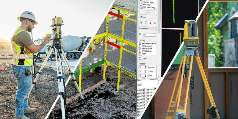
Topcon to exhibit latest surveying and digital workflow solutions at Intergeo 2022Terrestrial and airborne laser (LiDAR) scanners for the collection of 3D point cloud data; software for processing and visualising point clouds and creating 3D models, and use cases for laser scanning
This topic covers the science, the hardware, and the software used to capture, process and apply 3D point cloud data. As well as airborne and terrestrial (tripod-based, vehicle-mounted and handheld) laser (LiDAR) scanners, the topic includes the proprietary and Open Source software employed to process point clouds and create 3D models. It also covers the many and varied uses for 3D laser scanning: topographic mapping, bathymetric mapping, utility mapping, engineering surveying, agriculture, forestry, geology, architecture, industrial facilities, cultural heritage, asset management and construction, collision avoidance in autonomous and semi-autonomous vehicles, and environmental modelling
13th October 2022
Topcon to exhibit latest surveying and digital workflow solutions at Intergeo 2022
27th September 2022
GeoSLAM & Flyability combines SLAM with UAV technology to improve safety & accuracy for aggregates industry
26th September 2022
GeoCue welcomes three new distributors to its global network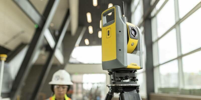
22nd September 2022
Trimble Sets New Standard For Robotic Total Station Scalability15th September 2022
Creaform Revolutionizes Professional-Grade 3D Scanning with peel 3 and peel 3.CAD
8th September 2022
LiDAR and Digital Surface Models from Bluesky Aid Wind Farm Planning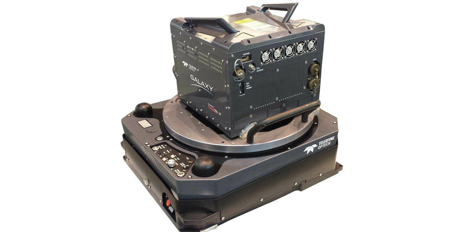
5th September 2022
Fototerra’s purchase of new Optech Galaxy PRIME will enable pristine, high-resolution mapping of forests and urban centres in Latin and South America
22nd August 2022
USGIF Announces 2022 Scholarship Award Winners16th August 2022
GeoSLAM adds real-time data capture feedback to ZEB Horizon
8th August 2022
RIEGL Contributed to Groundbreaking Multi-Enterprise LiDAR Benchmarking Study27th July 2022
New Scanning And Imaging Solution From Trimble Simplifies 3D Deliverables

21st July 2022
RIEGL VZ-400i BEAMS a New Light on Temperate Forest Carbon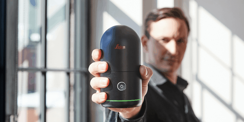
19th July 2022
Hexagon disrupts reality capture once again with its next-generation, ultra-fast Leica BLK360 laser scanner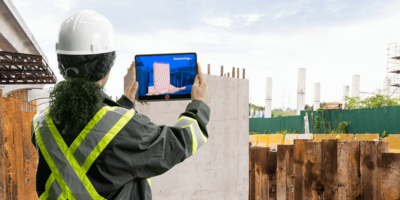
19th July 2022
Clirio launches world's first end-to-end holographic scan and review apps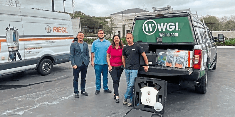
19th July 2022
RIEGL USA continues to provide mobile LiDAR solutions to WGI
12th July 2022
RIEGL to Attend and Exhibit at Esri UC 2022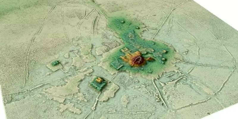
6th July 2022
Lidar Reveals Pre-Hispanic Low-Density Urbanism in the Bolivian Amazon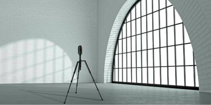
22nd June 2022
Hexagon disrupts reality capture once again with its next-generation, ultra-fast Leica BLK360 laser scanner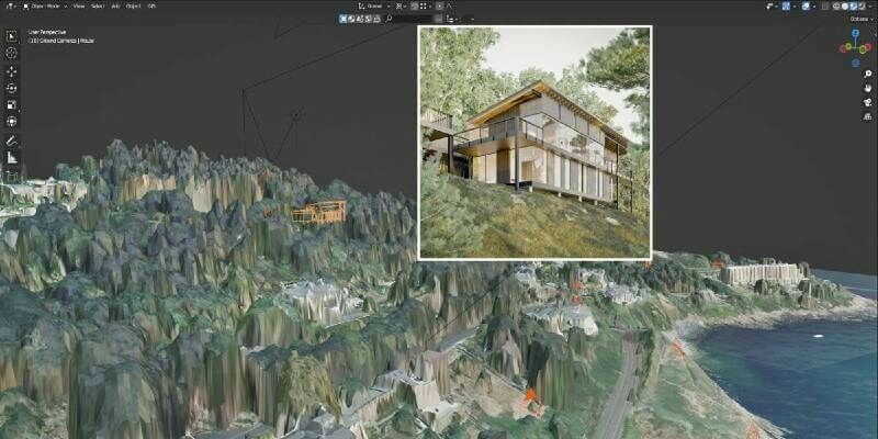
16th June 2022
Bluesky LiDAR and Aerial Photography Bring Build Projects to Life for Dublin Design Studio
15th June 2022
RIEGL VZ-6000 Laser Scanner Assists Glaciology Research in China
10th June 2022
PointFuse revolutionizes reality capture deliverables with free new Plugin for Autodesk Revit
9th June 2022
Automated Quality Control with Collaborative Robots: A Game Changer for Small and Medium Enterprises
8th June 2022
Creaform Adds Two High-Performance Scanners to the HandySCAN 3D | SILVER Series
1st June 2022
Leica Geosystems announces major performance increase in airborne bathymetric survey
31st May 2022
This Jubilee Weekend: five London landmarks as you’ve never seen them before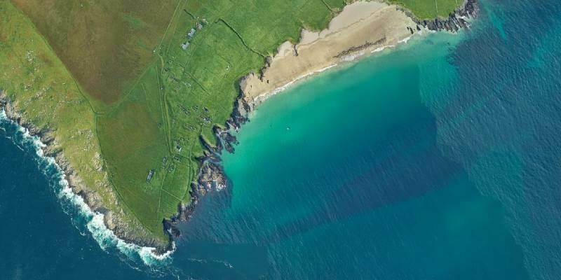
27th May 2022
Fugro’s lidar Geo-data supports OPW’s Irish coastal resilience strategies
25th May 2022
Unique Integration of UltraCam Eagle and LiDAR Scanner by 95West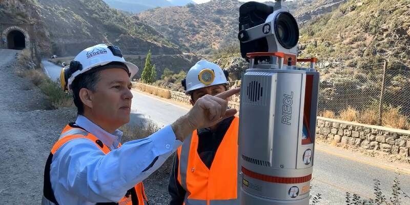
20th May 2022
Colourisation and immersive walkthroughs among major GeoSLAM updates
19th May 2022
Dual aerial sensors yield impressive results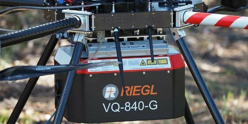
16th May 2022
Riegl Australia: Successful Integration Of The VQ-840-G Into Heavy-Lift Industrial Drone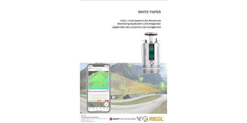
2nd May 2022
NEW White Paper: RIEGL V-Line Scanners for Permanent Monitoring Applications and Integration Capabilities into Customers Risk Management
19th April 2022
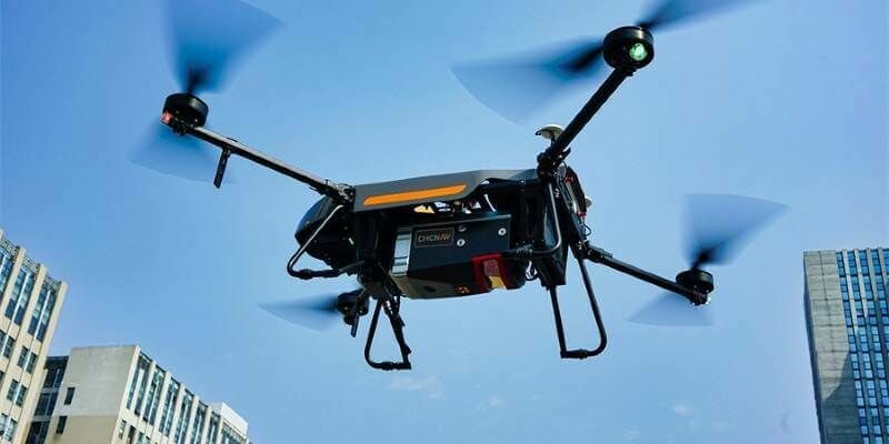
CHC Navigation introduces the AlphaAir 1400 and AlphaAir 2400 Airborne LiDAR Series
19th April 2022
RIEGL USA Continues to Provide Mobile LiDAR Solutions to WGI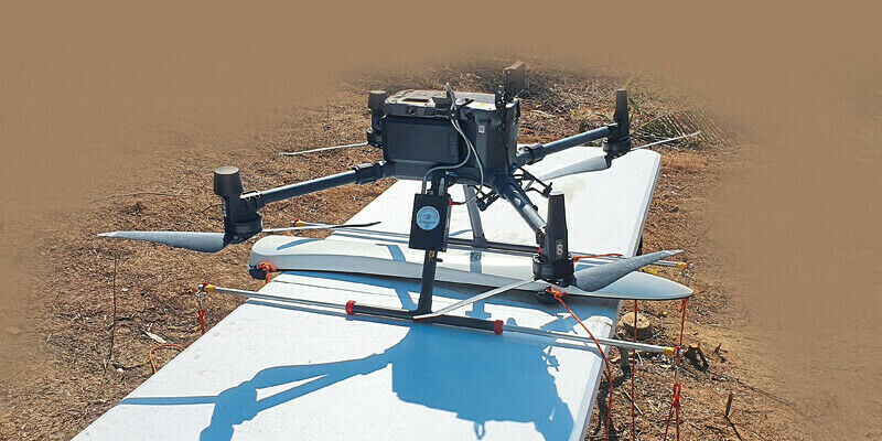

12th April 2022
Topcon announces GTL-1200 scanning robot total station12th April 2022
Kinematic LiDAR data processing with RIEGL RiPROCESS 1.9.2 software
12th April 2022
RIEGL announces management change to RIEGL Canada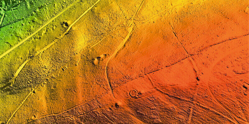
12th April 2022
Bluesky LiDAR survey reveals more than 400 archaeological sites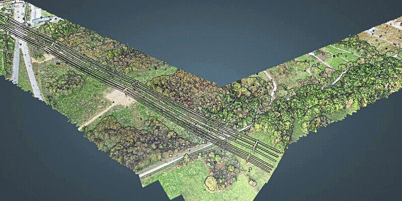
12th April 2022
Survtech using simactive software for energy infrastructure projects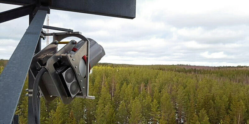
12th April 2022
RIEGL VZ-2000i used for permanent forestry monitoring

11th March 2022
ESO Surveyors Utilizing Vz-400i In Australian Cities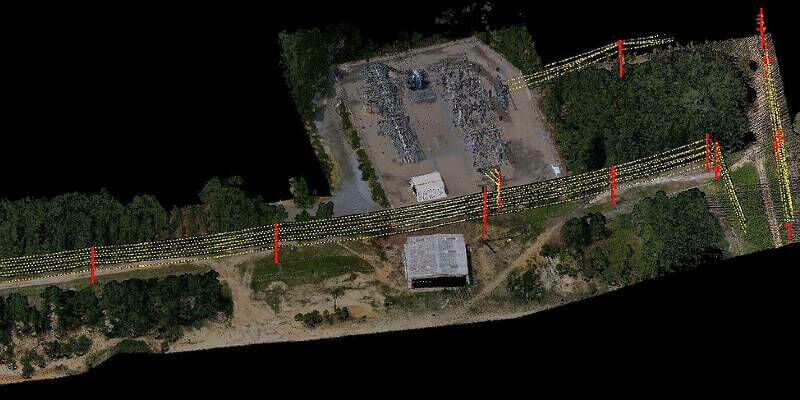
4th March 2022
SurvTech Using SimActive Software for Energy Infrastructure Projects