Share
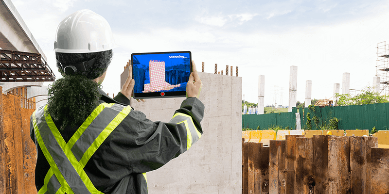
Clirio announces a software solution for field data capture that builds on the company’s previous success in geospatial data visualization. The new application, branded simply as ‘Clirio’, uniquely combines mobile LiDAR 3D scanning with smart remote collaboration tools to offer teams an end-to-end 3D solution to capture, organize, share, and problem-solve. This is all based on real-time field observations and data, whether team members are on site or a continent away. Clirio is a set of mobile, web, and VR/AR apps for instantly capturing, sharing, reviewing, and resolving worksite field observations, issues, or updates. www.clir.io


