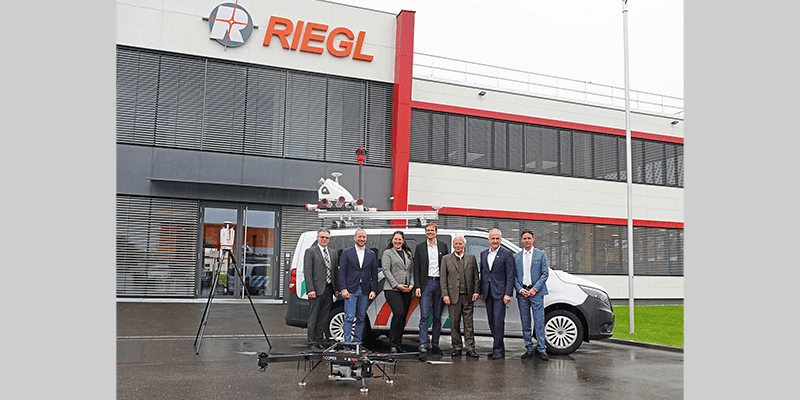
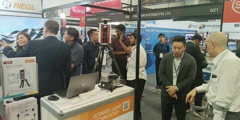
Riegl LiDAR Technology for the Digital Twin Lab of Joanneum Research
28th July 2023
Riegl LiDAR Technology for the Digital Twin Lab of Joanneum ResearchTerrestrial and airborne laser (LiDAR) scanners for the collection of 3D point cloud data; software for processing and visualising point clouds and creating 3D models, and use cases for laser scanning
This topic covers the science, the hardware, and the software used to capture, process and apply 3D point cloud data. As well as airborne and terrestrial (tripod-based, vehicle-mounted and handheld) laser (LiDAR) scanners, the topic includes the proprietary and Open Source software employed to process point clouds and create 3D models. It also covers the many and varied uses for 3D laser scanning: topographic mapping, bathymetric mapping, utility mapping, engineering surveying, agriculture, forestry, geology, architecture, industrial facilities, cultural heritage, asset management and construction, collision avoidance in autonomous and semi-autonomous vehicles, and environmental modelling
28th July 2023
Riegl LiDAR Technology for the Digital Twin Lab of Joanneum Research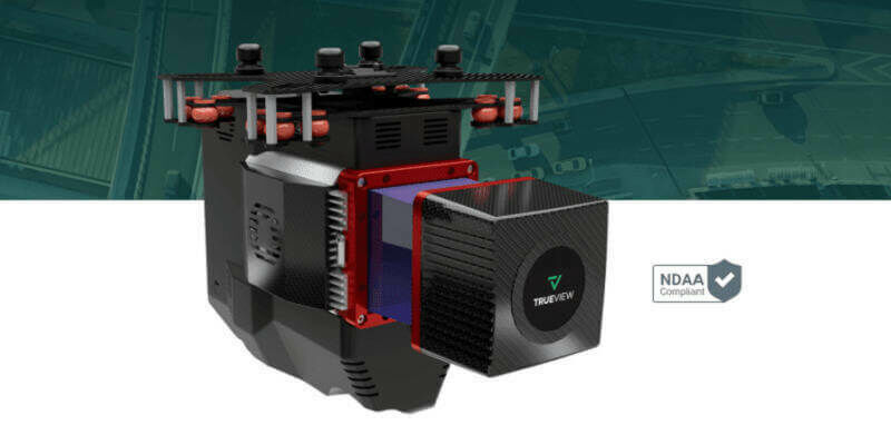
27th July 2023
GeoCue Unveils Three New, High-End, TrueView 3D Imaging Systems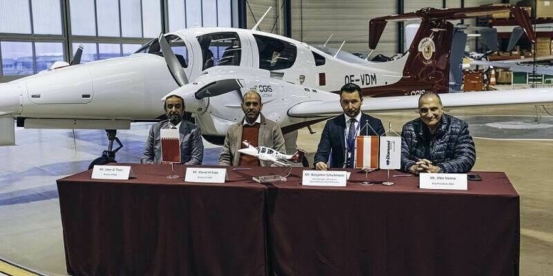
24th July 2023
Diamond Aircraft Delivers the First DA62 MPP with RIEGL Airborne LiDAR to the Centre for GIS in the State of Qatar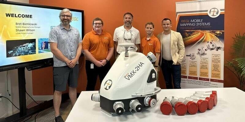
20th July 2023
Tetra Tech Expands Their RIEGL Mobile LiDAR Fleet as their new VMX-2HA Increases Their Reach on the West Coast18th July 2023
Leuven, The Capital City Of Innovation Scans Its Road To Enhance Road Safety
5th July 2023
FARO Technologies Appoints Peter Lau as President and Chief Executive Officer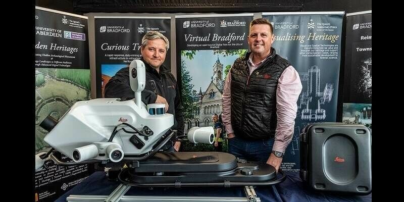
29th June 2023
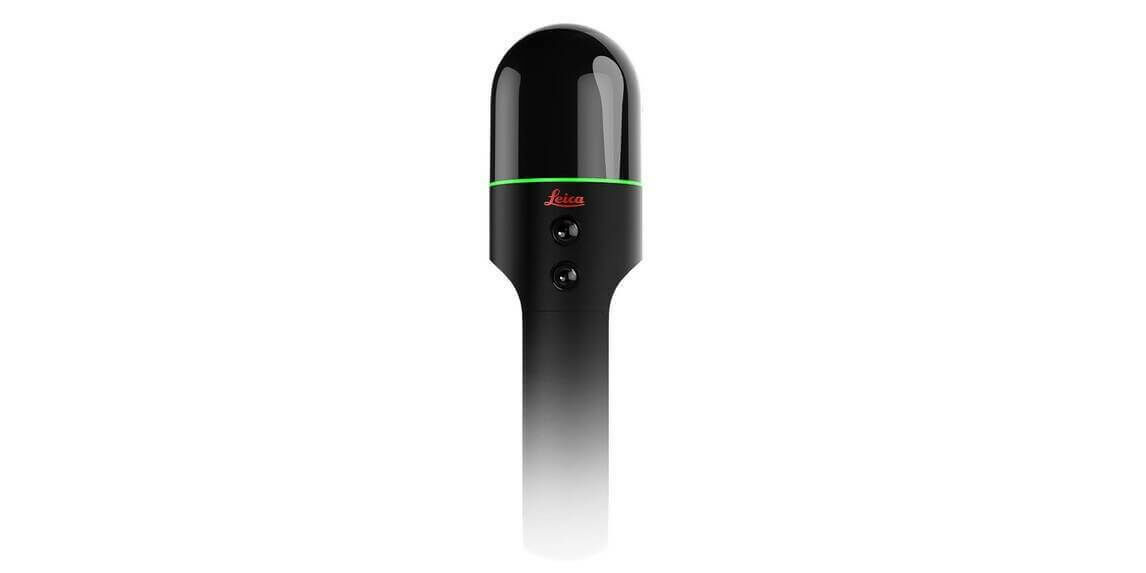
‘First-of-its-kind’ mobile 3D mapping system will scan 2 million data points a second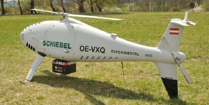
20th June 2023
Successful Integration of the RIEGL VQ-840-G Topo-Bathymetric Laser Scanner into the Schiebel CAMCOPTER S-100 UAS
19th June 2023
Outsight partners with Indra to accelerate the deployment of 3D LiDAR solutions in smart transport infrastructures
15th June 2023
Hexagon partners with Sony Semiconductor Solutions to enhance reality capture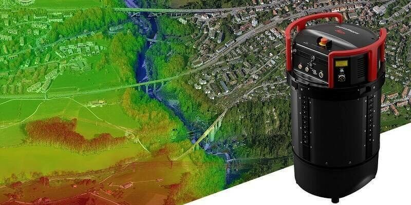
14th June 2023
Leica Geosystems introduces Leica CountryMapper, the world’s first hybrid imaging & LiDAR sensor for large-area airborne mapping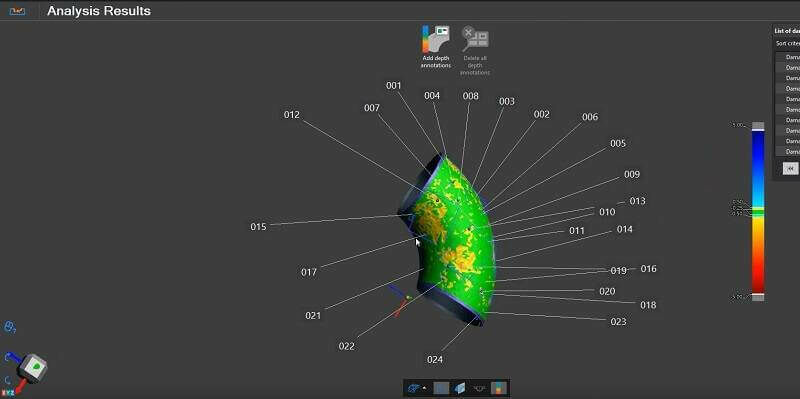
14th June 2023
Creaform launches latest version of VXintegrity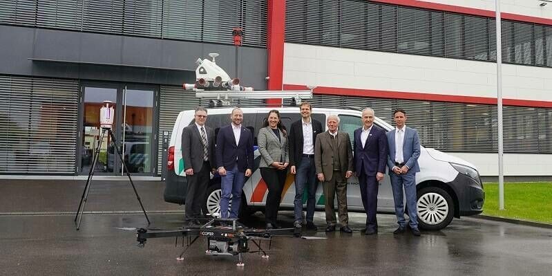
9th June 2023
RIEGL LiDAR Technology for the Digital Twin Lab of JOANNEUM RESEARCH
5th June 2023
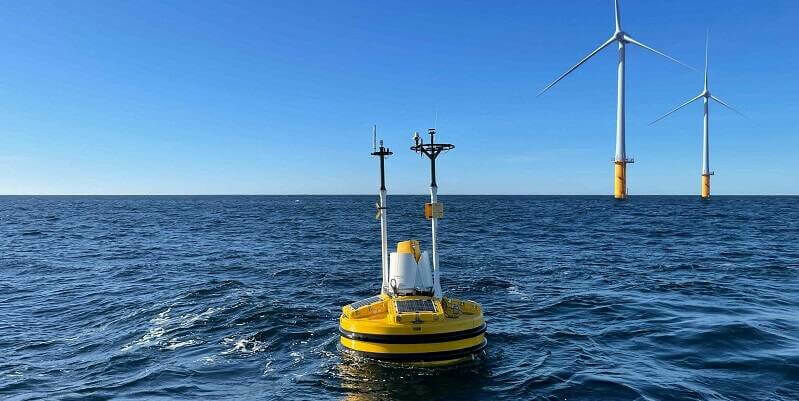
Fugro to deploy SEAWATCH Wind Lidar Buoys to support Denmark’s 2030 offshore wind target
4th June 2023
China monitors mountain glacier health with remote sensing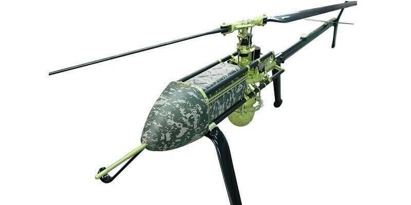
26th May 2023
UAVOS And Bayanat Enter Partnership For The Supply of Autonomous Helicopters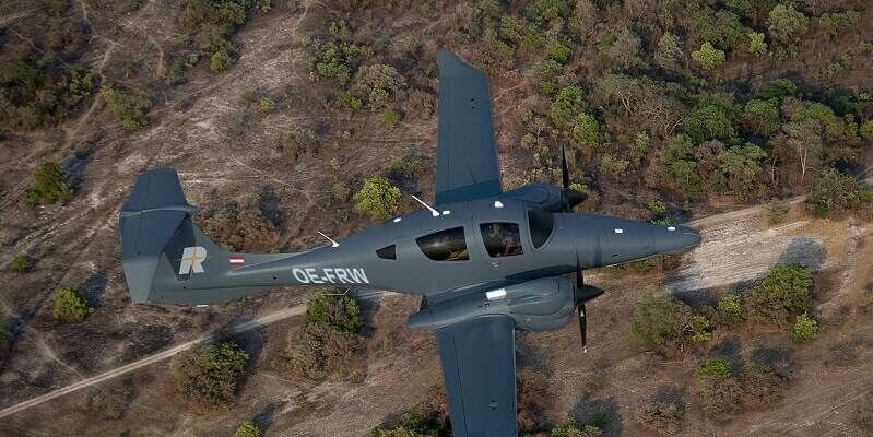
26th May 2023
RIEGL expands Test Aircraft Fleet with a new DA62 SurveyStar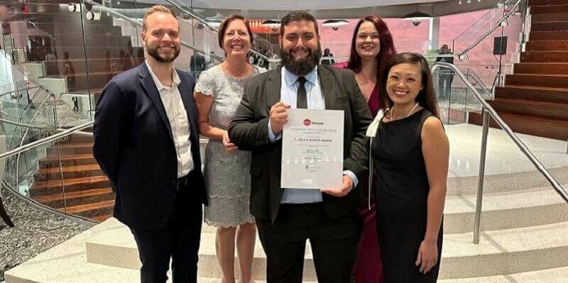
25th May 2023
Riegl USA Awarded At Aia Orlando Design Awards Gala
18th May 2023
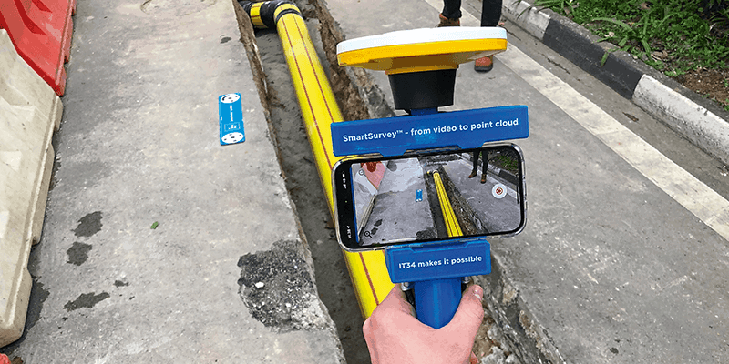
Just how far does scanning technology get you?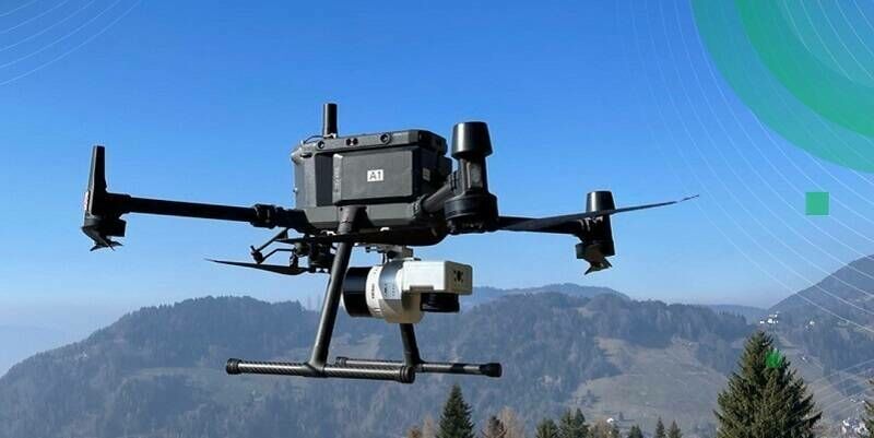
9th May 2023
TOPODRONE to unveil a new lightweight 360° LiDAR model range
3rd May 2023
Leica Geosystems introduces the next evolution in smart, autonomous mobile mapping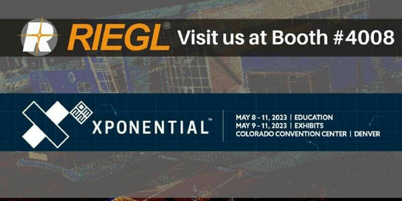
2nd May 2023
The RIEGL Newsroom Eyes to the sky for RIEGL’s fleet of UAV-based LiDAR sensors at AUVSI XPONENTIAL 2023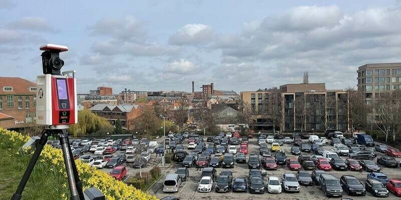
28th April 2023
Successful all along the line: RIEGL VZ-600i Preview Events in the UK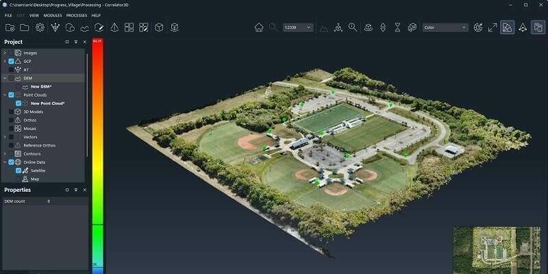
27th April 2023
SimActive Releases Correlator3D Version 10 with High Density Point Cloud Generation
21st April 2023
Underground mapping for flood modelling with mobile LiDAR
18th April 2023
KOREC Group unveils new customer-centric Mission Statement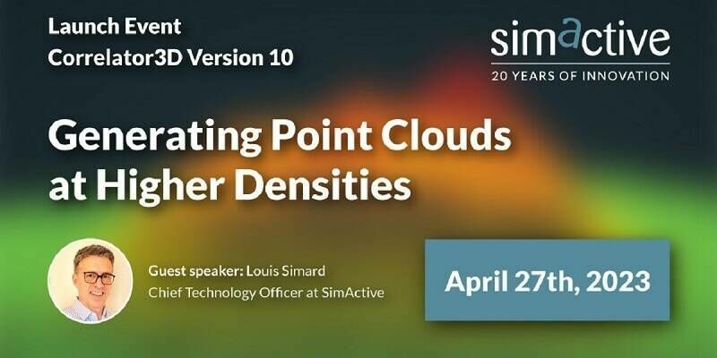
16th April 2023
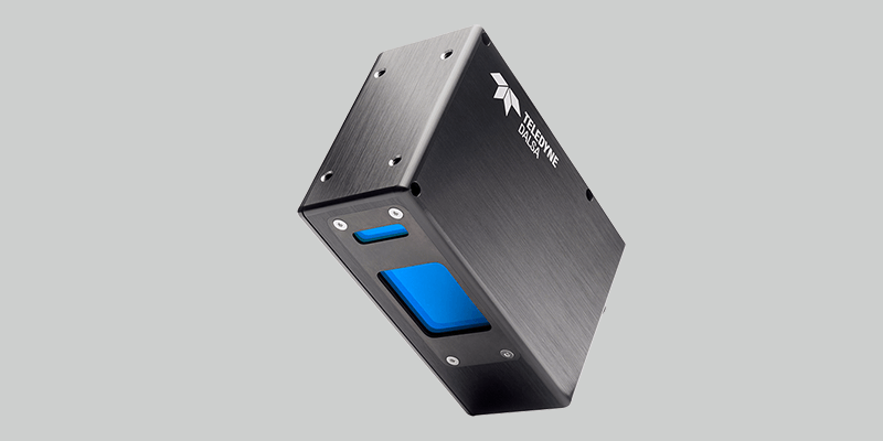
Teledyne introduces 4K 3D laser line profile sensor family for in-line measurement
16th April 2023
Outsight appoints Werner Filez as new Smart Infrastructure Sales Director, EMEA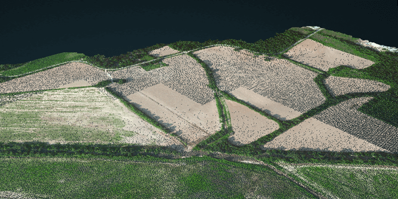
28th March 2023
How Chip Design Systems Pushes FLIR Cameras Capabilities with their IR Projectors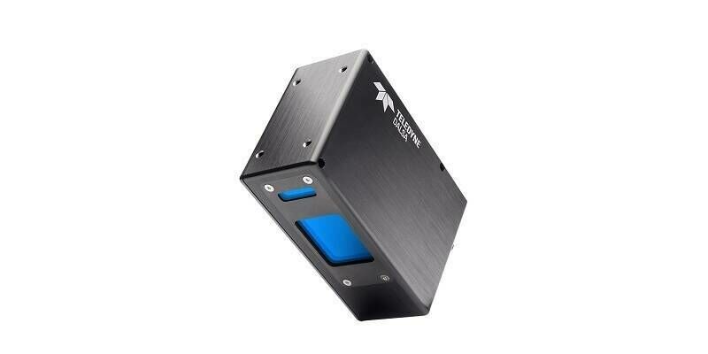
7th March 2023
Teledyne introduces 4K 3D laser line profile sensor family for in-line measurement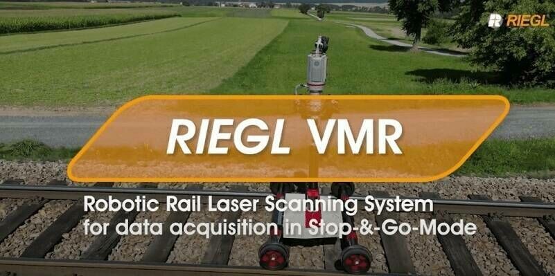
6th March 2023
NEW YOUTUBE VIDEO: RIEGL VMR Robotic Rail Laser Scanning System for data acquisition in Stop-&-Go-Mode
2nd March 2023
RIEGL Ultimate LiDAR Webinar Series: March 2023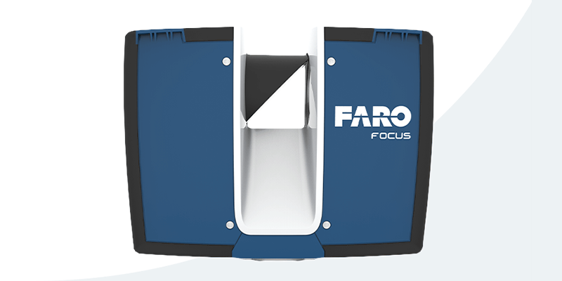


1st March 2023
Bluesky Geospatial Launches Metrovista 3D Aerial Mapping Program in U.S.
1st March 2023
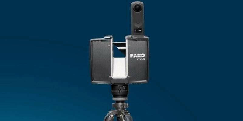
Mosaic Announces Integration of High Resolution 360º Camera With Laser Scanning Solutions
1st March 2023
The New VXintegrity Software Platform: Surface Damage Assessment Modernized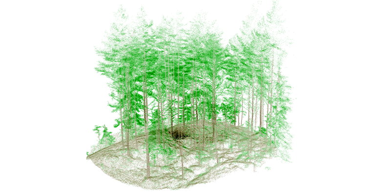
1st March 2023
Mobile LIDAR’s Role in Bringing ‘Industry 4.0’ to Norwegian Forestry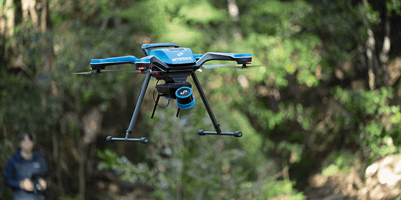
1st March 2023
Emesent Launched Three Time Saving Products for Geospatial Professionals