Geo Analytics
Don't miss a beat, sign up to our newsletter

02-03
Sep
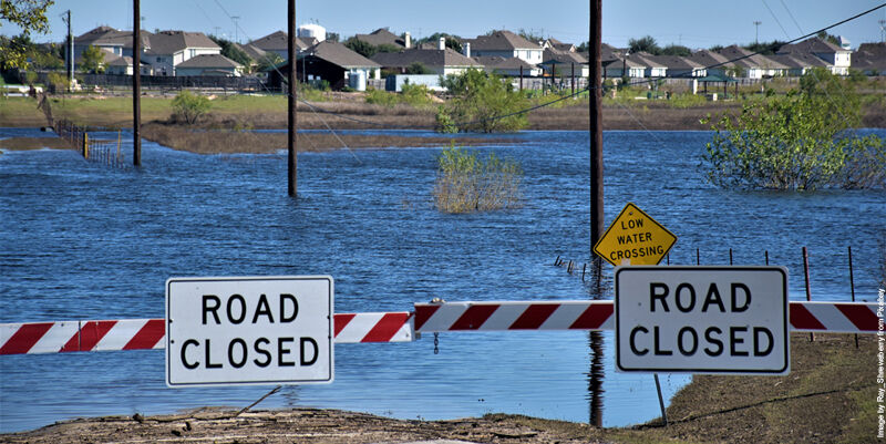
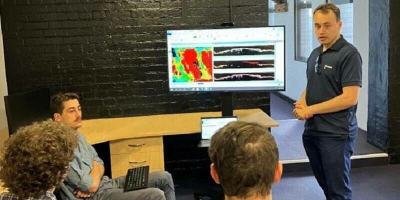
New research uses AI to unlock decades of hidden flood risk data
1st May 2026
New research uses AI to unlock decades of hidden flood risk data
UK police force reduces knife crime by 16% with new hotspot analysis
17th June 2025
UK police force reduces knife crime by 16% with new hotspot analysis
"Trey" Whitworth delivers keynote at 2025 GEOINT Symposium
25th May 2025
"Trey" Whitworth delivers keynote at 2025 GEOINT Symposium
AI framework achieves 95.6% accuracy in predicting landslide-prone zones
16th April 2025
AI framework achieves 95.6% accuracy in predicting landslide-prone zones
Intergeo and 3DISE Forge Strategic Collaboration to Drive New Business Opportunities in the Geospatial And Reality Capture Industry
21st March 2025
Intergeo and 3DISE Forge Strategic Collaboration to Drive New Business Opportunities in the Geospatial And Reality Capture Industry
New, greener software model could democratize access to geospatial analysis
25th February 2025
New, greener software model could democratize access to geospatial analysis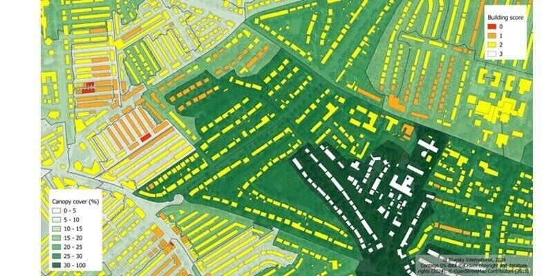
Urban Tree and Green Space Calculation Tool Gives Clarity on Priority City Areas in Urgent Need of Greening Initiatives
28th November 2024
Urban Tree and Green Space Calculation Tool Gives Clarity on Priority City Areas in Urgent Need of Greening Initiatives
Using UK location data to measure travel times and access to amenities
7th November 2024
Using UK location data to measure travel times and access to amenities
Geovation Announces 19th Cohort on Accelerator Programme
30th October 2024
Geovation Announces 19th Cohort on Accelerator Programme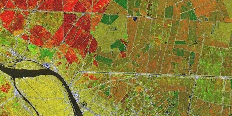
Climate emergency management in Vietnam: MASE and eGEOS sign international cooperation agreement
2nd August 2024
Climate emergency management in Vietnam: MASE and eGEOS sign international cooperation agreement
Chennai growth maps blueprint for rural-urban areas in Global South
17th April 2024
Chennai growth maps blueprint for rural-urban areas in Global South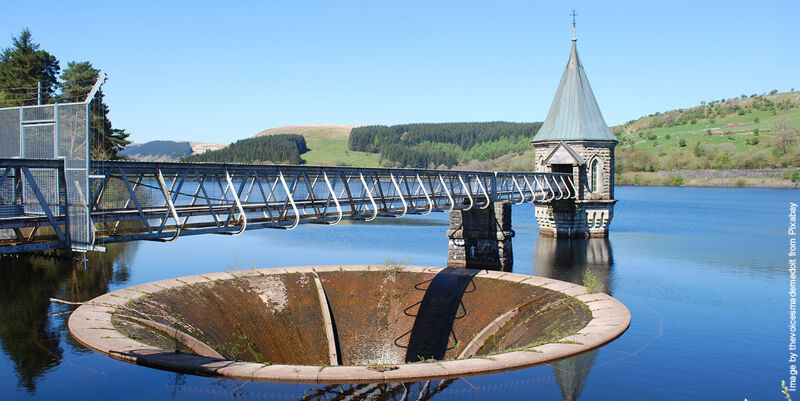
New water planning tool can forecast supply and demand issues up to 2055
4th April 2024
New water planning tool can forecast supply and demand issues up to 2055
Earth Blox prepares for growth in response to booming demand for nature and climate analytics
29th January 2024
Earth Blox prepares for growth in response to booming demand for nature and climate analytics


Association for Geographic Information Celebrates Membership Milestone
10th November 2023
Association for Geographic Information Celebrates Membership Milestone
GeoCom 23: Intelligent Geospatial for a Sustainable Future
11th September 2023
GeoCom 23: Intelligent Geospatial for a Sustainable Future

Teledyne Geospatial announces new Vice President and General Manager
11th September 2023
Teledyne Geospatial announces new Vice President and General Manager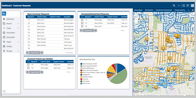
Launch of Trimble Unity AMS Provides Electric Utilities with Enterprise Asset Management Solution to Improve Reliability and Efficiency
28th July 2023
Launch of Trimble Unity AMS Provides Electric Utilities with Enterprise Asset Management Solution to Improve Reliability and Efficiency
CGI and Ordnance Survey develop water pollution predictive tool for North Devon UNESCO Biosphere Reserve
28th July 2023
CGI and Ordnance Survey develop water pollution predictive tool for North Devon UNESCO Biosphere Reserve
GAF AG provides support to the European Union’s knowledge hub for science, space, and digitalizatio
28th July 2023
GAF AG provides support to the European Union’s knowledge hub for science, space, and digitalizatio
Association for Geographic Information Announces GeoCom 23 Conference
28th July 2023
Association for Geographic Information Announces GeoCom 23 Conference
STRYDE technology chosen by Geopartner Geofizyka for one of the largest onshore EU O&G seismic surveys in recent years
8th June 2023
STRYDE technology chosen by Geopartner Geofizyka for one of the largest onshore EU O&G seismic surveys in recent years


Elbit Systems Awarded Four Contracts to Supply Solutions to the Romanian Armed Forces
14th April 2023
Elbit Systems Awarded Four Contracts to Supply Solutions to the Romanian Armed Forces
Intermap Extends European Flood Risk Solution
14th April 2023
Intermap Extends European Flood Risk Solution
Fugro partners with Australian Spatial Analytics for an inclusive workforce
24th March 2023
Fugro partners with Australian Spatial Analytics for an inclusive workforceDefence Geospatial Intelligence (DGI) 2023 Conference
13th March 2023
Defence Geospatial Intelligence (DGI) 2023 Conference
Geoteric Announced World-First Software Release
1st March 2023
Geoteric Announced World-First Software Release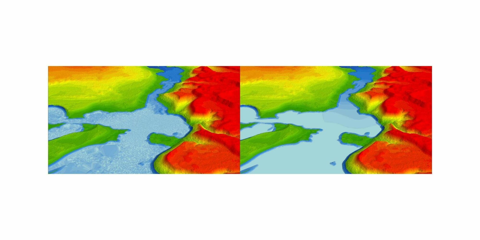

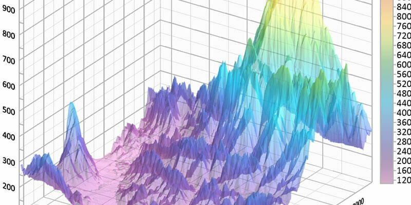
Golden Software enhances Grapher package with improved axes, plotting, and 3D functionality
2nd November 2022
Golden Software enhances Grapher package with improved axes, plotting, and 3D functionality
CGG licenses geothermal multi-client studies supporting energy transition to us energy company
2nd November 2022
CGG licenses geothermal multi-client studies supporting energy transition to us energy company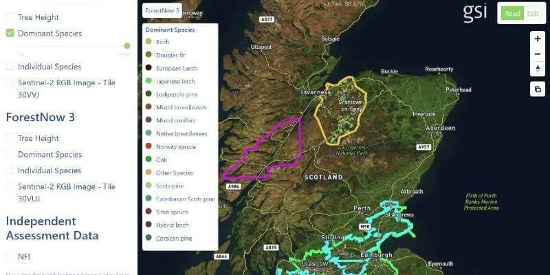
GSI Secures Investment To Accelerate Growth In Core Markets
26th October 2022
GSI Secures Investment To Accelerate Growth In Core Markets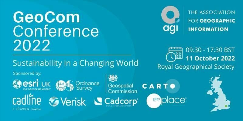
AGI Announces Last Chance to Secure GeoCom Early Bird Booking Discounts
8th September 2022
AGI Announces Last Chance to Secure GeoCom Early Bird Booking Discounts
Association for Geographic Information Announces GeoCom Speakers
29th July 2022
Association for Geographic Information Announces GeoCom Speakers
Carter Jonas bolsters Geospatial team with senior appointments
27th July 2022
Carter Jonas bolsters Geospatial team with senior appointments
Fotech appoints Joyce Lamy in new strategic partnerships role
19th July 2022
Fotech appoints Joyce Lamy in new strategic partnerships role
TomTom's maps gain greater visual context from expanded agreement with Maxar
19th July 2022
TomTom's maps gain greater visual context from expanded agreement with Maxar
Precisely extends data integrity leadership with new geo addressing innovations
19th July 2022
Precisely extends data integrity leadership with new geo addressing innovations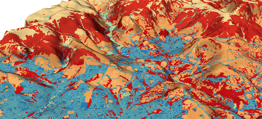
Maximising land use and minimising its impact
19th July 2022
Maximising land use and minimising its impact