Share
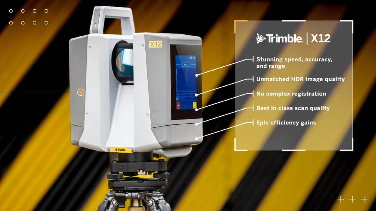
Trimble introduced the new Trimble X12 scanning system to the geospatial scanning portfolio.
The Trimble X12 can be operated by using Trimble Perspective field software installed on a Trimble T10x tablet to enable registration and refinement of scans in the field, ensuring project accuracy and completion before leaving the jobsite. Users can also leverage Trimble's customized on-board software menu to configure and operate the scanner. Data is exported from the field and processed in the office with Trimble RealWorks™ software or third-party software. Final deliverables can be shared online with clients and stakeholders using Trimble Clarity, a browser-based data collaboration and visualization tool.
Transforming high-quality 3D data into decisions, such as using scans, models and imagery to determine the structural integrity of aging infrastructure, is streamlined with the Trimble X12 because the data can reside within the Trimble software ecosystem. This advantage allows users to easily visualize, manage and evaluate the project throughout the entire workflow, even for beginners and new users to scanning technology.
With features including best-in-class range (from 0.3 up to 365 meters) and scan speed of up to 2.187 million points per second, the Trimble X12 produces scan data and images with a quality and clarity never seen before—which complements the Trimble X7 capabilities within the scanning product portfolio.
Subscribe to our newsletter
Stay updated on the latest technology, innovation product arrivals and exciting offers to your inbox.
Newsletter

