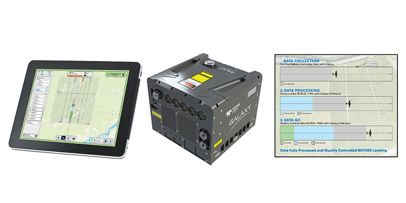
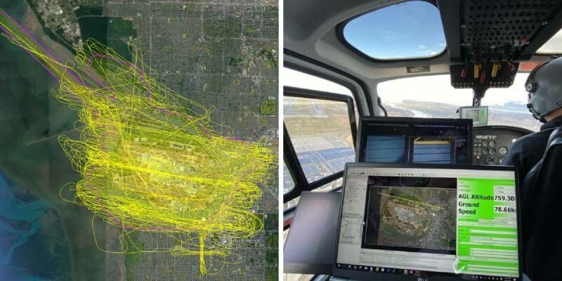
Teledyne Geospatial revolutionizes airborne lidar ROI with Galaxy Onboard: a real-time workflow solution
1st March 2023
Teledyne Geospatial revolutionizes airborne lidar ROI with Galaxy Onboard: a real-time workflow solutionTerrestrial and airborne laser (LiDAR) scanners for the collection of 3D point cloud data; software for processing and visualising point clouds and creating 3D models, and use cases for laser scanning
This topic covers the science, the hardware, and the software used to capture, process and apply 3D point cloud data. As well as airborne and terrestrial (tripod-based, vehicle-mounted and handheld) laser (LiDAR) scanners, the topic includes the proprietary and Open Source software employed to process point clouds and create 3D models. It also covers the many and varied uses for 3D laser scanning: topographic mapping, bathymetric mapping, utility mapping, engineering surveying, agriculture, forestry, geology, architecture, industrial facilities, cultural heritage, asset management and construction, collision avoidance in autonomous and semi-autonomous vehicles, and environmental modelling
1st March 2023
Teledyne Geospatial revolutionizes airborne lidar ROI with Galaxy Onboard: a real-time workflow solution
1st March 2023
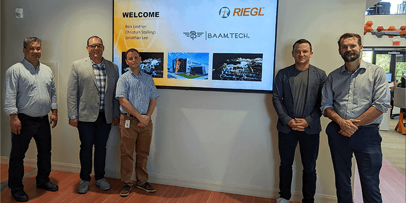
BAAM.Tech Named North American Distribution Partner for RIEGL USA Mobile Laser Scanning Solutions
27th February 2023
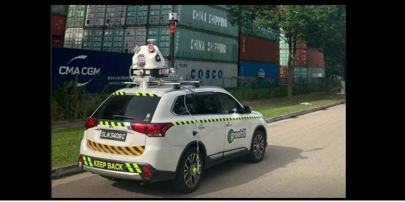
Mosaic X camera systems added to greehill’s RIEGL mobile LiDAR system
22nd February 2023
SimActive Software Used to Colorize Lidar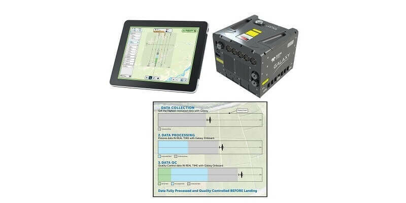
13th February 2023
Teledyne Geospatial revolutionizes airborne lidar ROI with Galaxy Onboard: a real-time workflow solution
2nd February 2023
Digital revolution inspires new research direction in ecosystem structural diversity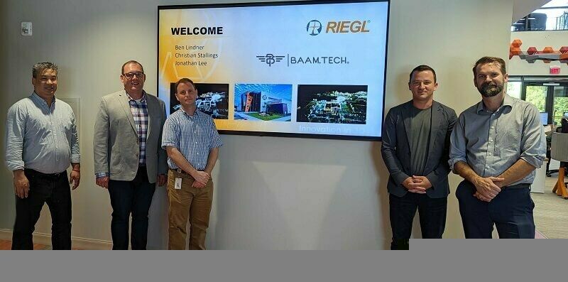
2nd February 2023
BAAM.Tech Named North American Distribution Partner for RIEGL USA Mobile Laser Scanning Solutions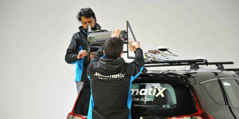
1st February 2023
XenomatiX introduces a dual lane system at Geo Week 2023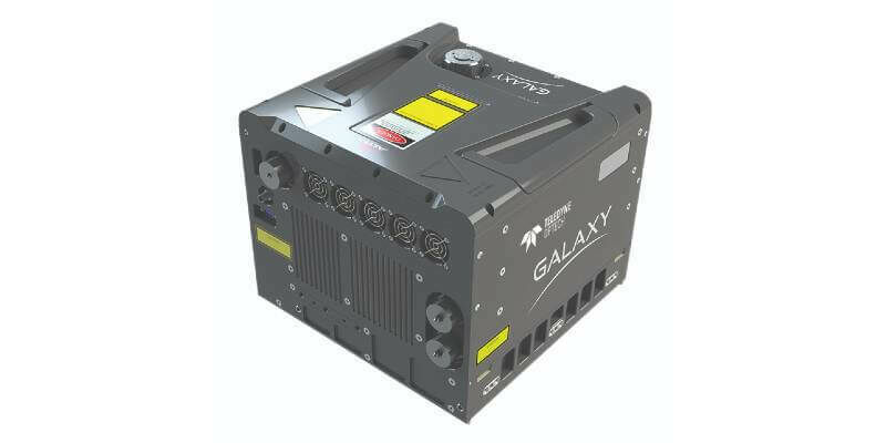
24th January 2023
Teledyne Geospatial to exhibit and present at Geo Week 2023
16th January 2023
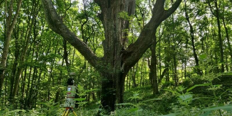
Laser Scanning Reveals Potential Underestimation of Biomass Carbon in Temperate Forest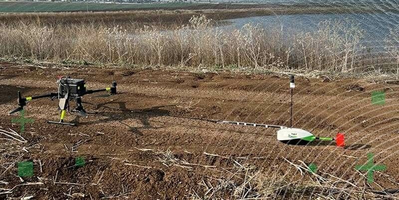
16th January 2023
TOPODRONE synchronized LiDAR and bathymetric surveying methods to study a floating solar farm in Israel
12th January 2023
Airbus and VDL Group join forces to produce an airborne laser communication terminal
4th January 2023
BAAM.Tech Named North American Software Distributor and Technical Support Partner for Terrasolid
29th December 2022
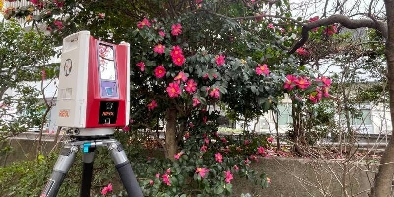
RIEGL Japan Introduces the Lightweight and Extremely Fast Terrestrial Laser Scanner the RIEGL VZ-600i

7th December 2022
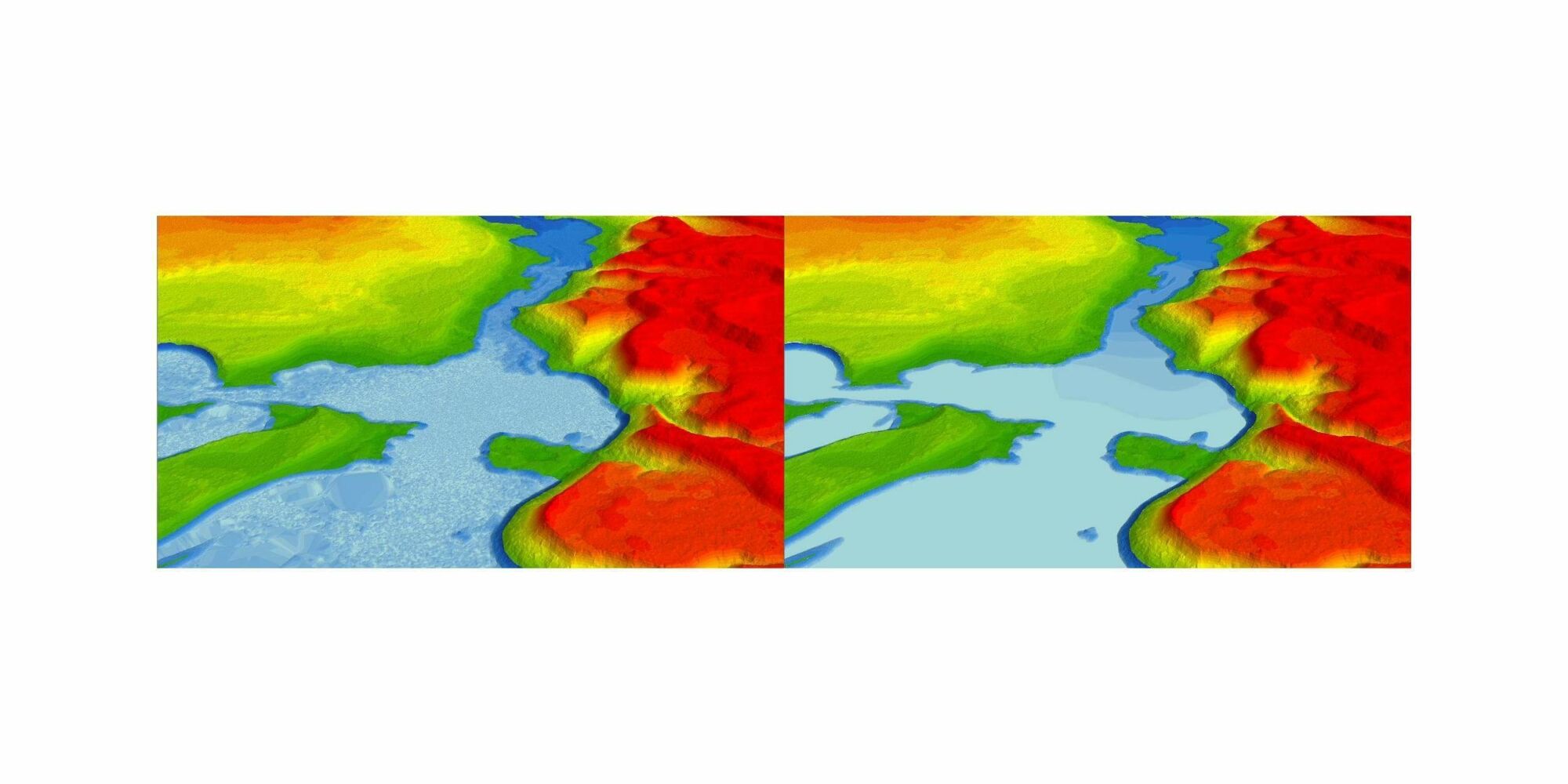
Coastal concerns: how data can help us understand the pressure of climate change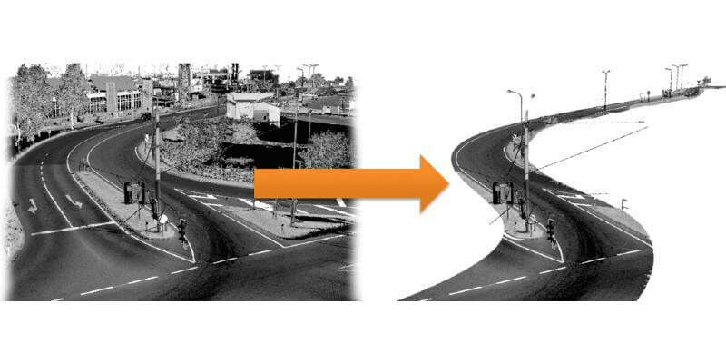
29th November 2022
RiPROCESS version 1.9.3 is available now
28th November 2022
ArcGIS now hosts Road LiDAR data for public and private road management

17th November 2022
Riegl Lidar Used In Award Winning Digital Twin Project At YVR Airport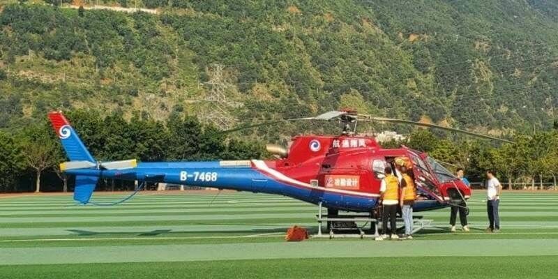
16th November 2022
Teledyne Optech Galaxy T2000 mobilized for earthquake recovery and reconstruction effort in China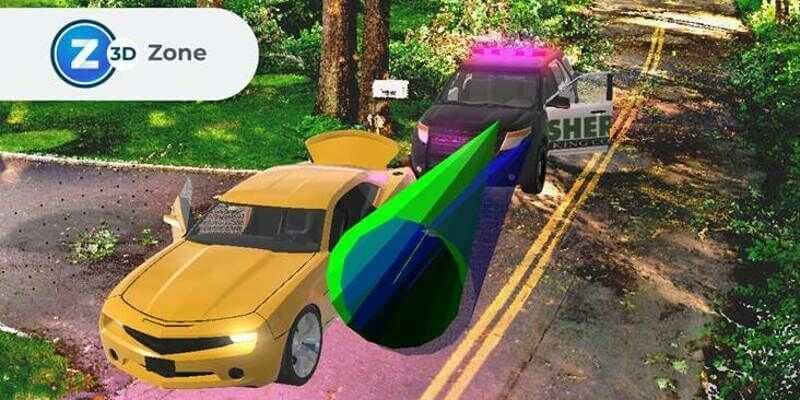
10th November 2022
FARO Zone 3D Forensic Scene Analysis Software Delivers New Photogrammetry Capabilities
4th November 2022
Mobile LiDAR’s role in bringing ‘Industry 4.0’ to Norwegian forestry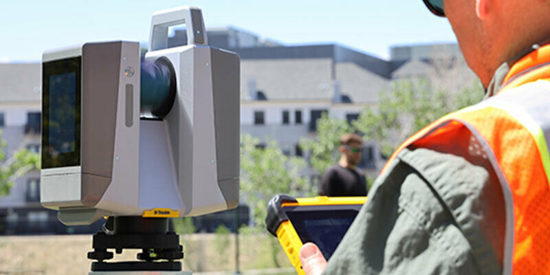
2nd November 2022
New scanning and imaging solution from Trimble simplifies 3D deliverables
2nd November 2022
James Van Rens Appointed to the National Geospatial 3DEP Advisory Subcommittee
2nd November 2022
Fugro and National Maritime Safety Authority improve Papua New Guinea’s navigation safety2nd November 2022
GeoCue welcomes three new distributors to its global network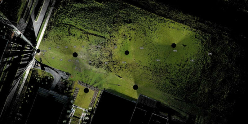
2nd November 2022
Riegl Contributed to groundbreaking multi-enterprise lidar benchmarking study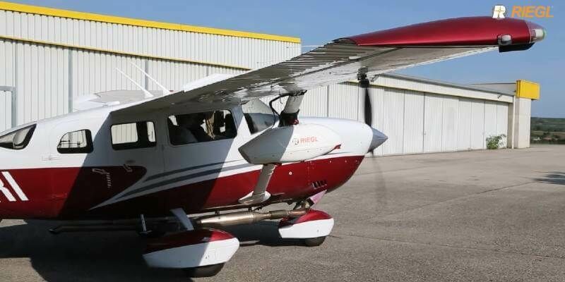
28th October 2022
The New VXintegrity software platform: Surface Damage Assessment Modernized
24th October 2022
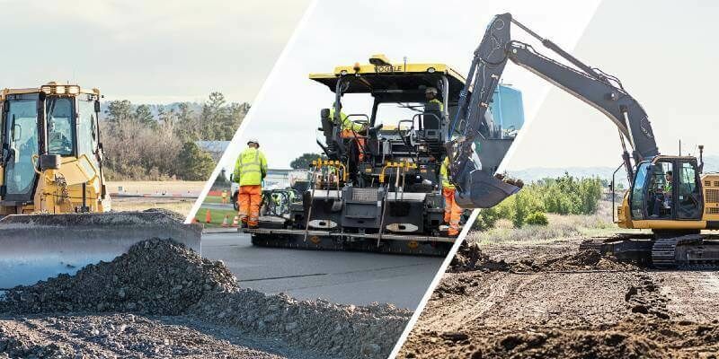
Topcon set to feature latest technologies at Bauma in Munich
21st October 2022
INTERGEO celebrates a successful comeback
20th October 2022
Geo Week Announces Media Support for 2023 Event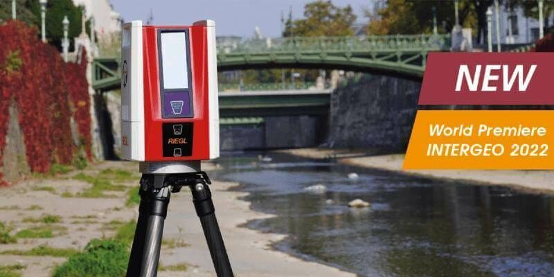
20th October 2022
World Premiere INTERGEO 2022: The New RIEGL VZ-600i
19th October 2022
RIEGL presents product innovations in all areas from terrestrial to airborne, from UAV-based to mobile laser scanning and bathymetry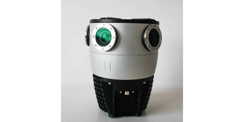
18th October 2022
Mosaic Announces Integration of High Resolution 360º Camera with Laser Scanning Solutions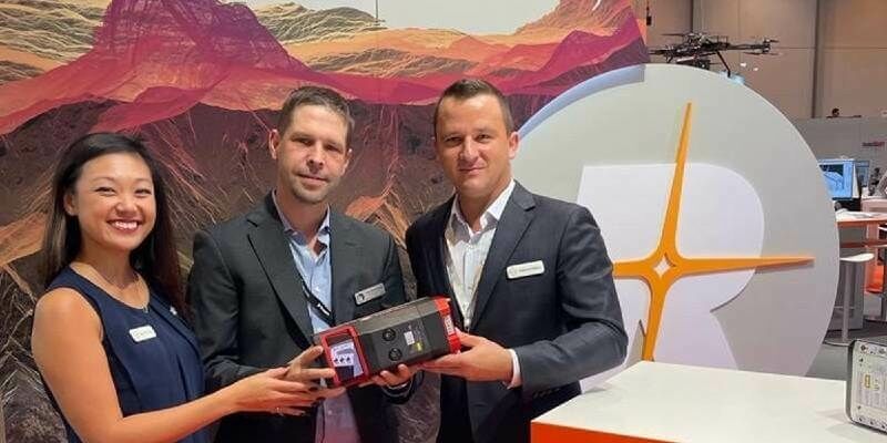
18th October 2022
RIEGL OEM Partner Phoenix LiDAR Systems is the first to secure the purchase of the NEW VUX-160²³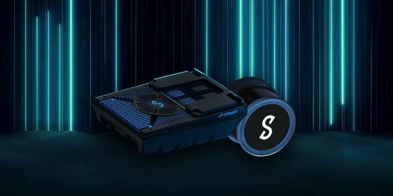
18th October 2022
Emesent launches three time saving products for geospatial professionals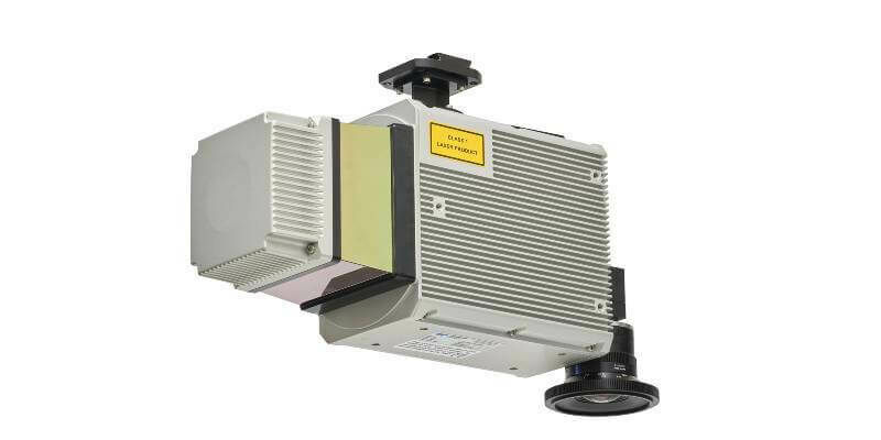
14th October 2022
New solution from Teledyne Geospatial delivers survey-grade lidar point clouds from UAV platforms