

Airborne AI spots underwater munitions in shallow seas with high precision
3rd July 2026
Airborne AI spots underwater munitions in shallow seas with high precision
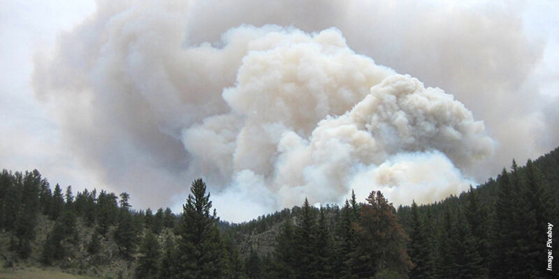
NASA's PACE mission studies smoke and fires
29th June 2026
NASA's PACE mission studies smoke and fires
First complete map of world’s seagrass offers warnings and hope for conservation
25th June 2026
First complete map of world’s seagrass offers warnings and hope for conservation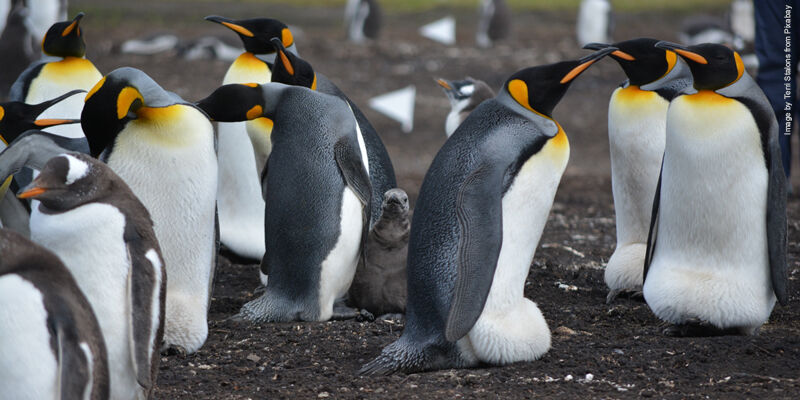
New tech enables scientists to see emperor penguins in darkness
4th June 2026
New tech enables scientists to see emperor penguins in darkness
Copernicus flood intelligence supporting reinsurance decisions
18th May 2026
Copernicus flood intelligence supporting reinsurance decisions
How 'digital twins' could help predict the fate of a forest
6th May 2026
How 'digital twins' could help predict the fate of a forest
UK's national soil database released as open-access repository
4th May 2026
UK's national soil database released as open-access repository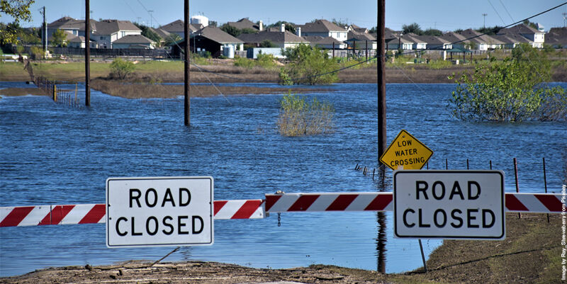
New research uses AI to unlock decades of hidden flood risk data
1st May 2026
New research uses AI to unlock decades of hidden flood risk data
Rebuilding a national artery: Behind the technology powering Ghana’s Eastern Corridor upgrade
24th April 2026
Rebuilding a national artery: Behind the technology powering Ghana’s Eastern Corridor upgrade

Trimble Applanix POSPac Complete: RTX-Powered, Base Station-Free Surveying for Air, Land and Marine Mapping
16th April 2026
Trimble Applanix POSPac Complete: RTX-Powered, Base Station-Free Surveying for Air, Land and Marine Mapping

ESA's Celeste broadcasts first navigation signal from low Earth orbit
11th April 2026
ESA's Celeste broadcasts first navigation signal from low Earth orbit
Fusing Inertial Navigation with Laser-based Velocity: A Hybrid Approach Transforming Underground Mining
10th April 2026
Fusing Inertial Navigation with Laser-based Velocity: A Hybrid Approach Transforming Underground Mining
Significance of precision timing in GPS/GNSS navigation
6th April 2026
Significance of precision timing in GPS/GNSS navigation
Using ‘imaginative’ AI to survey past and future earthquake damage
26th March 2026
Using ‘imaginative’ AI to survey past and future earthquake damage
How productivity gains help survey firm outbid the competition
15th March 2026
How productivity gains help survey firm outbid the competition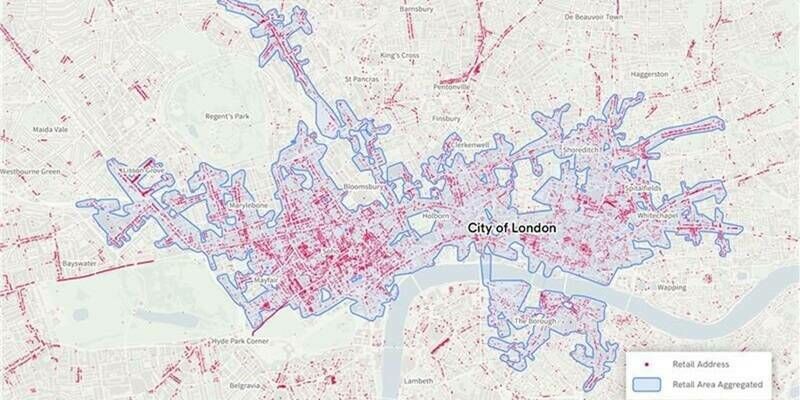
Ordnance Survey’s new national retail area data confirms London is the country’s biggest shopping destination
12th March 2026
Ordnance Survey’s new national retail area data confirms London is the country’s biggest shopping destination
Acute and Chronic Erosion is the Unpriced Climate Risk
1st March 2026
Acute and Chronic Erosion is the Unpriced Climate Risk
Mapping Natural Hydrogen Potential in the Pyrenees Foothills Using 3C Passive Seismic
18th February 2026
Mapping Natural Hydrogen Potential in the Pyrenees Foothills Using 3C Passive Seismic
Building Trust Through Reliable GNSS Testing
13th February 2026
Building Trust Through Reliable GNSS Testing
Moving beyond money to measure the true value of Earth science information
11th February 2026
Moving beyond money to measure the true value of Earth science information