
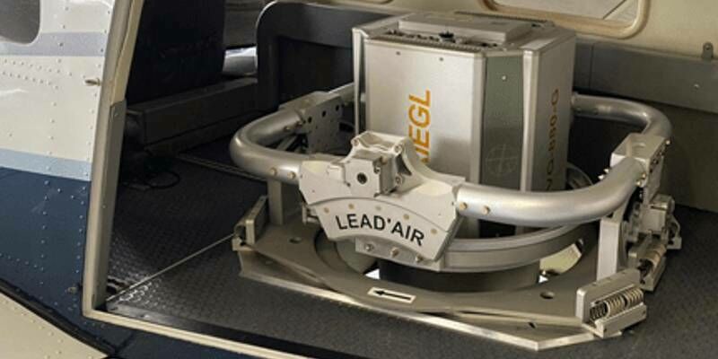
Recordings Are Now Available For The Riegl Ultimate Lidar February 2022 Webinars
4th March 2022
Recordings Are Now Available For The Riegl Ultimate Lidar February 2022 WebinarsTerrestrial and airborne laser (LiDAR) scanners for the collection of 3D point cloud data; software for processing and visualising point clouds and creating 3D models, and use cases for laser scanning
This topic covers the science, the hardware, and the software used to capture, process and apply 3D point cloud data. As well as airborne and terrestrial (tripod-based, vehicle-mounted and handheld) laser (LiDAR) scanners, the topic includes the proprietary and Open Source software employed to process point clouds and create 3D models. It also covers the many and varied uses for 3D laser scanning: topographic mapping, bathymetric mapping, utility mapping, engineering surveying, agriculture, forestry, geology, architecture, industrial facilities, cultural heritage, asset management and construction, collision avoidance in autonomous and semi-autonomous vehicles, and environmental modelling
4th March 2022
Recordings Are Now Available For The Riegl Ultimate Lidar February 2022 Webinars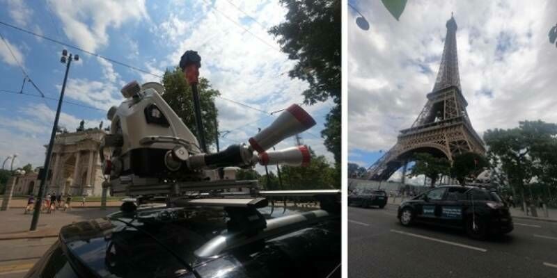
1st March 2022
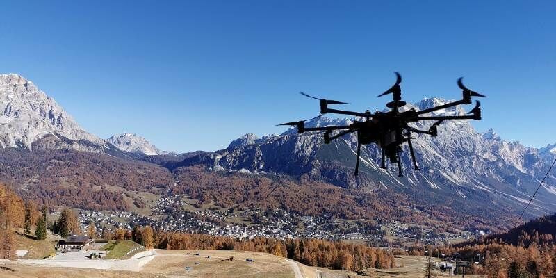
RIEGL VMX-2HA Mobile Mapping System in Use for greehill Urban Forest Car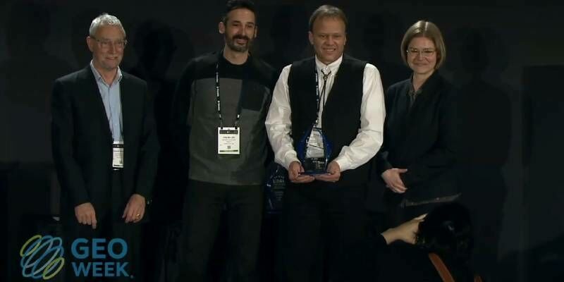
23rd February 2022
Geo Week 2022 Brings the Geospatial and Built Worlds Together In-Person, Exceeds Expectations
21st February 2022
MAPPS Geospatial Excellence Award Projects for spectacular NV5 and GEO1 projects
16th February 2022
Riegl Announces Management Change To Riegl Canada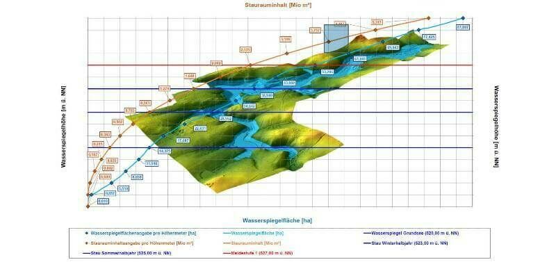
8th February 2022
High-precision 3D surveying of the Liebensteinspeicher reservoir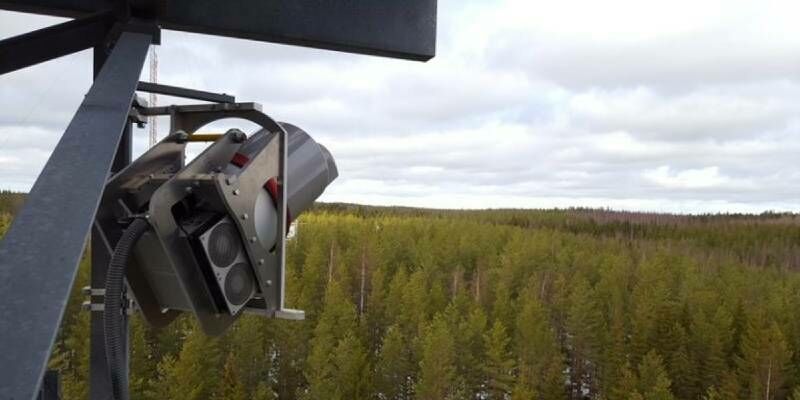
3rd February 2022
RIEGL VZ-2000i used for permanent forestry monitoring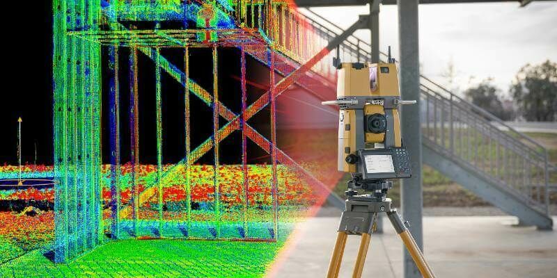
2nd February 2022
Topcon Announces GTL-1200 Scanning Robotic Total Station
31st January 2022
Get the Inside Scoop and Join Us at GEO Week 2022
27th January 2022
Guy’s Cliffe House: from point cloud to VR
27th January 2022
Luminar to Enable Enhanced Safety and Autonomy on Mercedes-Benz Passenger Cars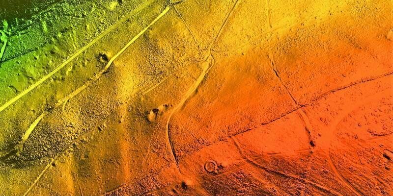
17th January 2022
Bluesky LiDAR Survey Reveals More than 400 Archaeological Sites5th January 2022
Improving efficiency by 25% at Cotonou Cadjehoun Airport with Topcon17th December 2021
XenomatiX named as CES 2022 Innovation Awards Honoree
16th December 2021
Hexagon’s R-evolution expands its sustainability agenda to help protect coastal blue carbon ecosystems
24th November 2021
RIEGL USA Signs New OEM Partner Agreement
18th November 2021
Hexagon announces partnership with Airbus for near real-time airborne bathymetric LiDAR surveillance system
17th November 2021
Bluesky National Tree Map Data Included in First Online Natural Capital Calculator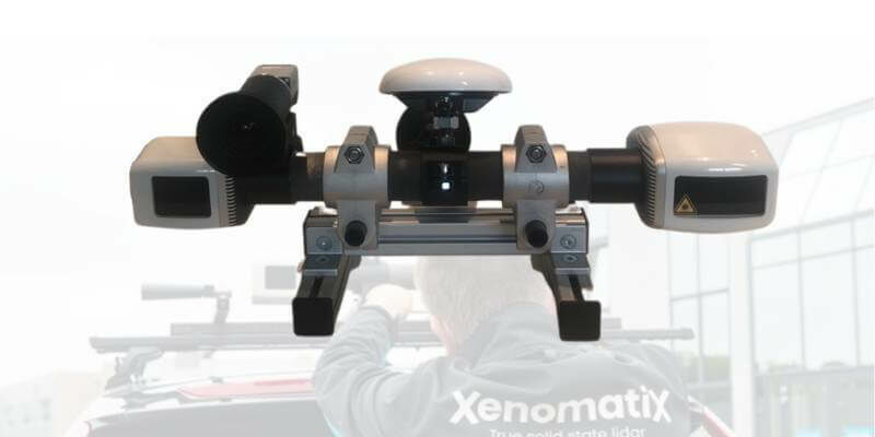
15th November 2021
XenomatiX wins global road achievement award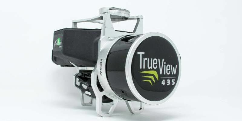
12th November 2021
GeoCue Expands True View 3DIS Line with True View 435
2nd November 2021
GeoCue and BayesMap Announce StripAlign for True View EVO
2nd November 2021
Keynote Lineup Announced For Geo Week 2022
1st November 2021
Geo Week Award Ceremony Nominations Accepted Until Dec 1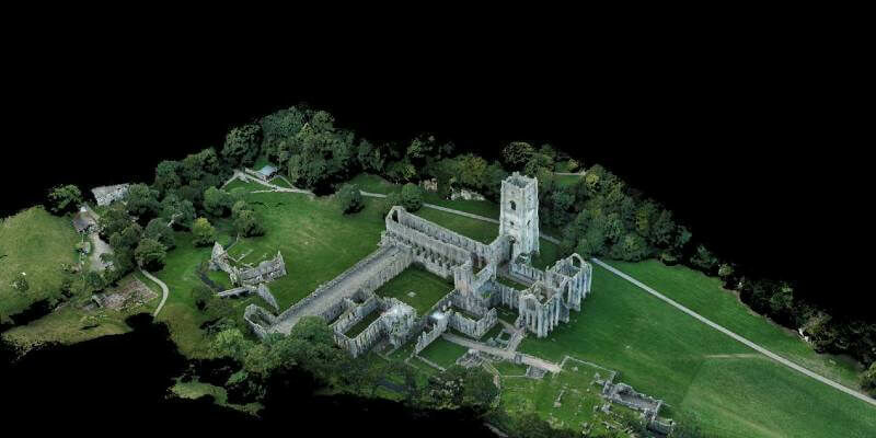
26th October 2021
Tannery discovery redraws map of Fountains Abbey
22nd October 2021
RIEGL VUX-120 UAV Wins the Geospatial World Innovation Award in Amsterdam
20th October 2021
Geo Week Conference Program and Speaker Lineup Announced20th October 2021
Creaform Introduces Three New Solutions to the R-Series Suite of Automated Dimensional Quality Control Solutions
15th October 2021
SimActive Releases Version 9.0 with Distributed Processing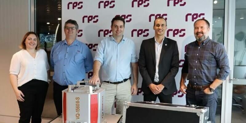
15th October 2021
New RIEGL VQ-1560 II-S for RPS in Australia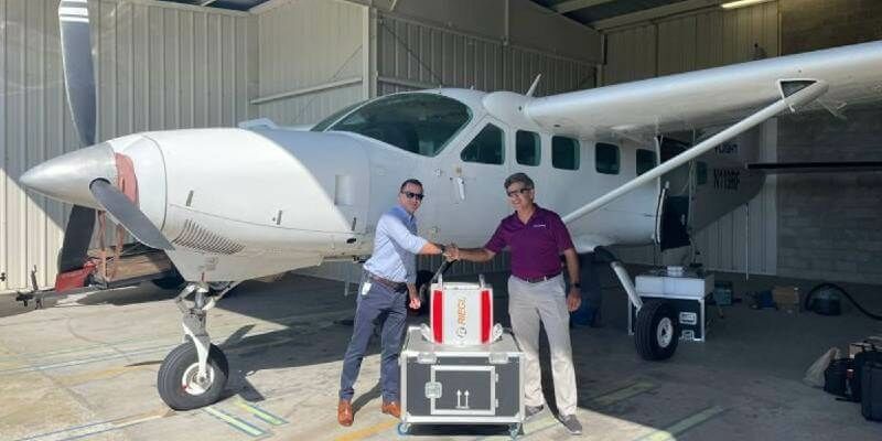
14th October 2021
Dewberry Acquires the Latest RIEGL VQ-1560 II-S Airborne LiDAR System
6th October 2021
SimActive Releases Version 9.0 with Distributed Processing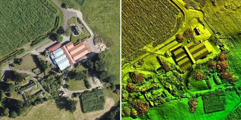
5th October 2021
Bluesky LiDAR Benchmarks Carbon Neutral Farming in Northern Ireland
1st October 2021
Surrey Police and Sussex Police invest in Trimble X7 Laser Scanning technology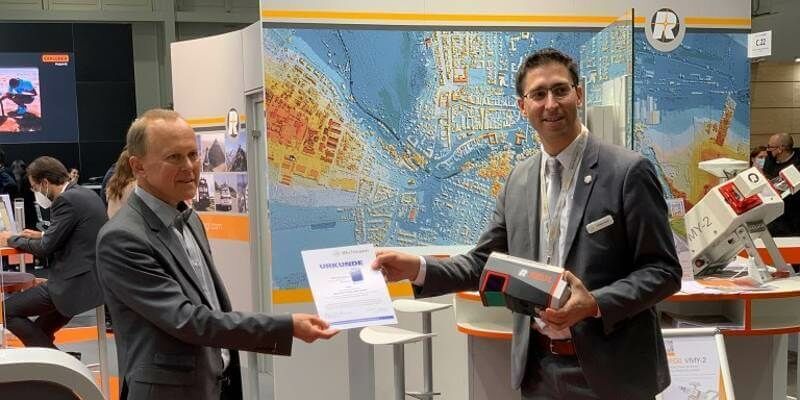
27th September 2021
RIEGL VUX-120 wins the Wichmann INTERGEO Innovation Award 2021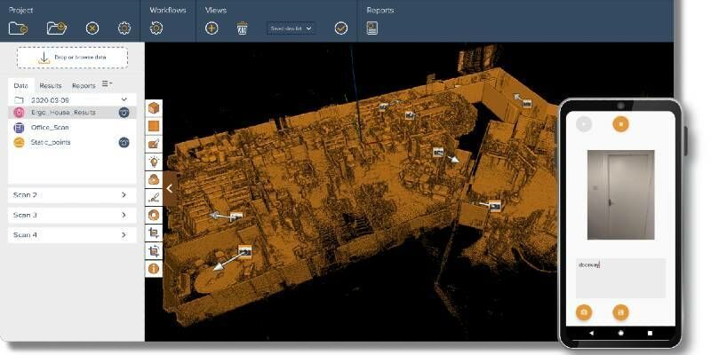
21st September 2021
New GeoSLAM Hardware and Software Revolutionises SLAM accuracy and automation
16th September 2021
Intergeo 2021 Live + Digital, September 21-23, 2021: Join RIEGL at booth 20C.22, Hall 20 or digitally
16th September 2021
Hexagon to showcase groundbreaking autonomous solutions and smart digital realities at INTERGEO 2021 Live+Digital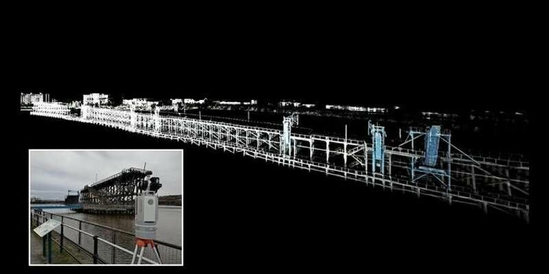

8th September 2021
SimActive Develops Workflow for New DJI L1 LiDAR System8th September 2021
Hexagon revolutionises autonomous reality capture with the launch of the Leica BLK ARC and Leica BLK2FLY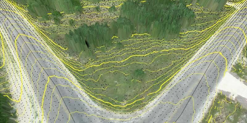
8th September 2021
Virtual Surveyor Improves Point Cloud Workflow to Fully Leverage Drone LiDAR Payloads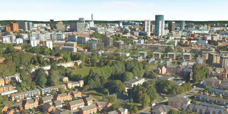
7th September 2021
Bluesky National Tree Map at the Root of Birmingham’s Urban Forest Master Plan6th September 2021
GeoSLAM maps ST. Elisabeth Hospital ahead of historic restoration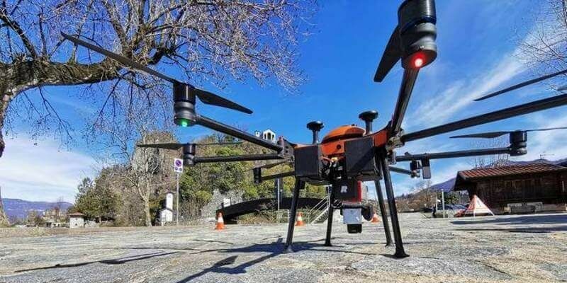
1st September 2021
RIEGL to Exhibit and Present at Commercial UAV Expo Americas 2021
31st August 2021
RIEGL RiCAST: Driving Into the Unknown- Tunnel Surveying and Early Adventures in Mobile Mapping30th August 2021
Using UAV LiDAR to obtain and analyse key metrics for operational forest management