
Mobile Mapping
Don't miss a beat, sign up to our newsletter
29-30
Sep
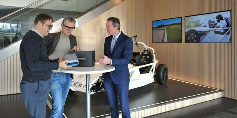
Siemens Wins XenomatiX Free Lidar Contest, Expanding Collaboration on Autonomous and Smart Mobility Projects
3rd March 2026
Siemens Wins XenomatiX Free Lidar Contest, Expanding Collaboration on Autonomous and Smart Mobility Projects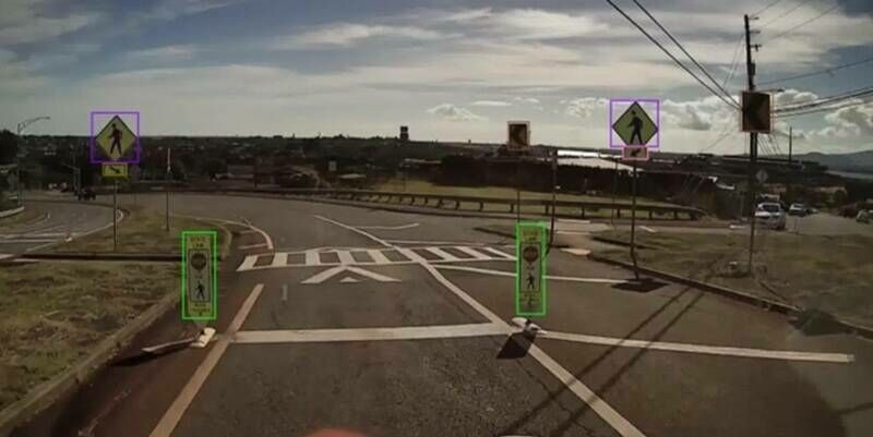
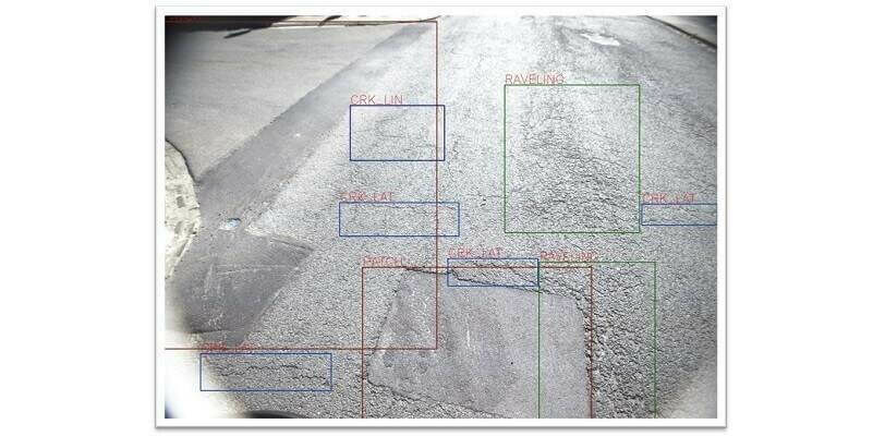
Alabama Department of Transportation Enhances Performance-Based Budgeting with Bentley Systems’ AI-Powered Blyncsy Solution
6th February 2026
Alabama Department of Transportation Enhances Performance-Based Budgeting with Bentley Systems’ AI-Powered Blyncsy Solution
Hawaii Department of Transportation Creates Safer Roads with Bentley Systems’ Asset Analytics Solution
9th January 2026
Hawaii Department of Transportation Creates Safer Roads with Bentley Systems’ Asset Analytics Solution
Geopost Vision And Nextbase Announce Strategic Partnership And Joint Presence At CES 2026 To Accelerate The Future Of Mapping And Smart Mobility In Europe
29th December 2025
Geopost Vision And Nextbase Announce Strategic Partnership And Joint Presence At CES 2026 To Accelerate The Future Of Mapping And Smart Mobility In Europe
Street-Level Imagery as a Tool for Mitigating Climate Change
27th November 2025
Street-Level Imagery as a Tool for Mitigating Climate Change
Innovation in Every Pulse: RIEGL’s New LiDAR Technologies
9th October 2025
Innovation in Every Pulse: RIEGL’s New LiDAR Technologies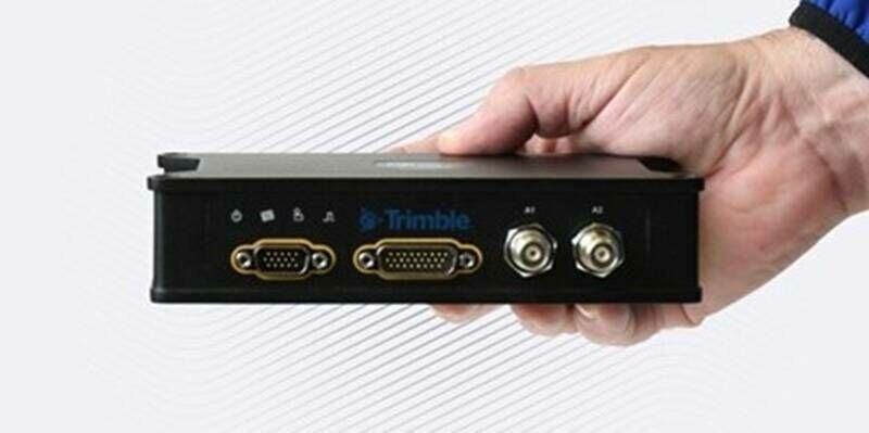
New Trimble Portfolios Introduce All-in-One Mobile Mapping Solutions for Land and Air
8th October 2025
New Trimble Portfolios Introduce All-in-One Mobile Mapping Solutions for Land and Air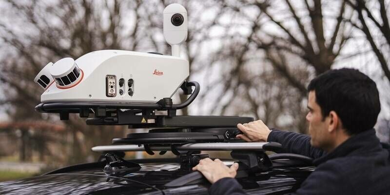
New Leica Pegasus TRK300 opens up advanced mobile mapping to wider range of users
21st May 2025
New Leica Pegasus TRK300 opens up advanced mobile mapping to wider range of users
RIEGL VZ-i Series Kinematic App: Mobilize your terrestrial laser scanner!
11th May 2025
RIEGL VZ-i Series Kinematic App: Mobilize your terrestrial laser scanner!
RIEGL Webinar Announcement: RIEGL MLS Workflow Updates and Training Tips
7th May 2025
RIEGL Webinar Announcement: RIEGL MLS Workflow Updates and Training Tips
Field Geospatial Enhances Global Leadership with Cutting-Edge RIEGL Mobile Mapping Technology in the Nordic Regions
15th April 2025
Field Geospatial Enhances Global Leadership with Cutting-Edge RIEGL Mobile Mapping Technology in the Nordic Regions
How mobile technology is changing the geospatial game
1st December 2024
How mobile technology is changing the geospatial game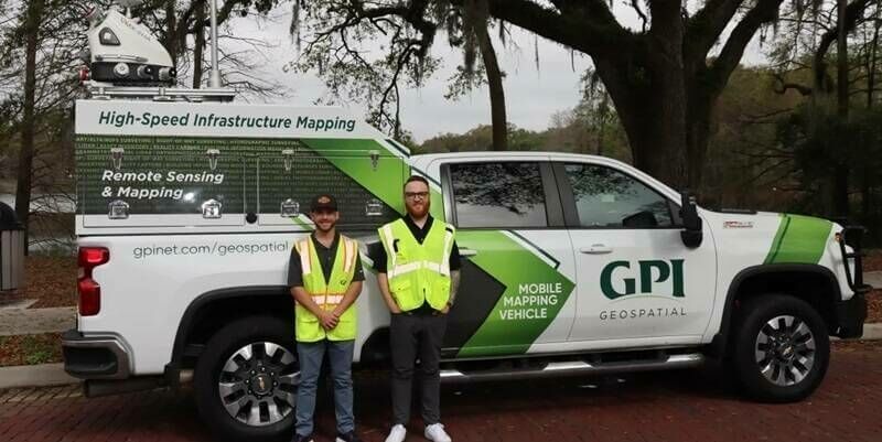
GPI Geospatial Enhancing Mobile Mapping with RIEGL LiDAR
3rd April 2024
GPI Geospatial Enhancing Mobile Mapping with RIEGL LiDAR
Introducing the Trimble MX90 Mobile Mapping System
15th February 2024
Introducing the Trimble MX90 Mobile Mapping System

XenomatiX extends its road scanning capabilities
12th September 2023
XenomatiX extends its road scanning capabilities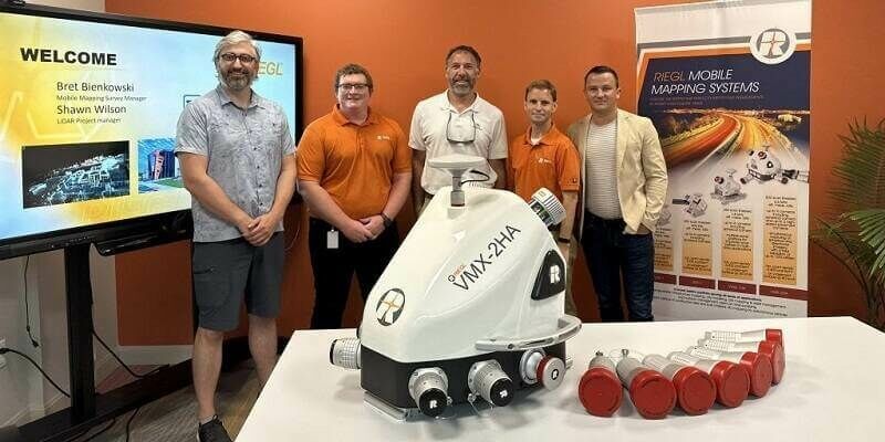
Tetra Tech Expands Their RIEGL Mobile LiDAR Fleet as their new VMX-2HA Increases Their Reach on the West Coast
20th July 2023
Tetra Tech Expands Their RIEGL Mobile LiDAR Fleet as their new VMX-2HA Increases Their Reach on the West Coast

Leica Geosystems introduces the next evolution in smart, autonomous mobile mapping
3rd May 2023
Leica Geosystems introduces the next evolution in smart, autonomous mobile mapping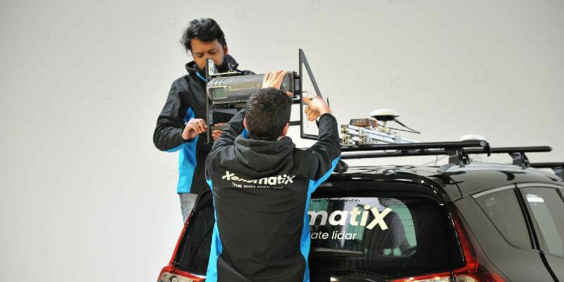
XenomatiX introduces a dual lane system at Geo Week 2023
1st February 2023
XenomatiX introduces a dual lane system at Geo Week 2023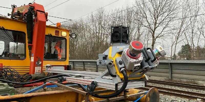
Industry First: Trimble MX9 Mobile Mapping System Certified by Deutsche Bahn
14th December 2022
Industry First: Trimble MX9 Mobile Mapping System Certified by Deutsche Bahn

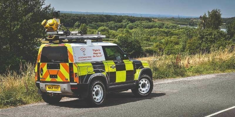
Fibre network designers, Jorvik Design Group, first in UK to invest in a KOREC supplied Trimble MX50 Mobile Mapping System
26th July 2022
Fibre network designers, Jorvik Design Group, first in UK to invest in a KOREC supplied Trimble MX50 Mobile Mapping System
The new Leica Pegasus TRK makes mobile mapping smart, autonomous and easy
10th May 2022
The new Leica Pegasus TRK makes mobile mapping smart, autonomous and easy
RIEGL USA Continues to Provide Mobile LiDAR Solutions to WGI
19th April 2022
RIEGL USA Continues to Provide Mobile LiDAR Solutions to WGI
RIEGL - VMY-2 Dual Scanner Mobile Mapping System
5th November 2021
RIEGL - VMY-2 Dual Scanner Mobile Mapping System
RIEGL RiCAST: Driving Into the Unknown- Tunnel Surveying and Early Adventures in Mobile Mapping
31st August 2021
RIEGL RiCAST: Driving Into the Unknown- Tunnel Surveying and Early Adventures in Mobile Mapping