
Esri Introduces ArcGIS for ServiceNow, Bringing Location Intelligence into Everyday Enterprise Workflows
15th July 2026
Esri Introduces ArcGIS for ServiceNow, Bringing Location Intelligence into Everyday Enterprise Workflows
15th July 2026
Esri Introduces ArcGIS for ServiceNow, Bringing Location Intelligence into Everyday Enterprise Workflows
14th July 2026
Esri Introduces ArcGIS Velocity for ArcGIS Enterprise to Power Real-Time GIS Operations
15th June 2026
GEO Business 2026 breaks attendance records with 6,200+ professionals
12th June 2026
Esri’s Jack Dangermond Honored with Award from International Fund for China’s Environment

02-03
Sep

13th May 2026
NEC Software Solutions UK Expands Public Safety Capabilities with Strategic Acquisition of Cadcorp
4th May 2026
UK's national soil database released as open-access repository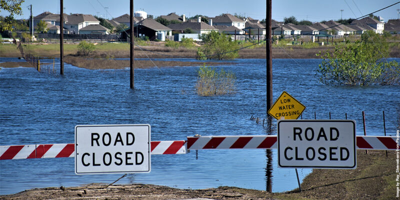
1st May 2026
New research uses AI to unlock decades of hidden flood risk data
30th April 2026
VertiGIS Acquires 1Spatial to Expand its Product Portfolio and Global Reach
15-17
Sep
Trade Fair Centre Messe, Munich
INTERGEO 2026, September 15-17, Munich
19th April 2026
Association for Geographic Information Takes Centre Stage at GEO Business
18th April 2026
Magnasoft Appoints Rebecca Lasica as Chief Executive Officer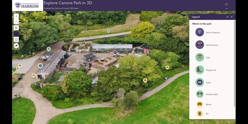
15th April 2026
London Borough of Harrow cuts maintenance costs with digital twin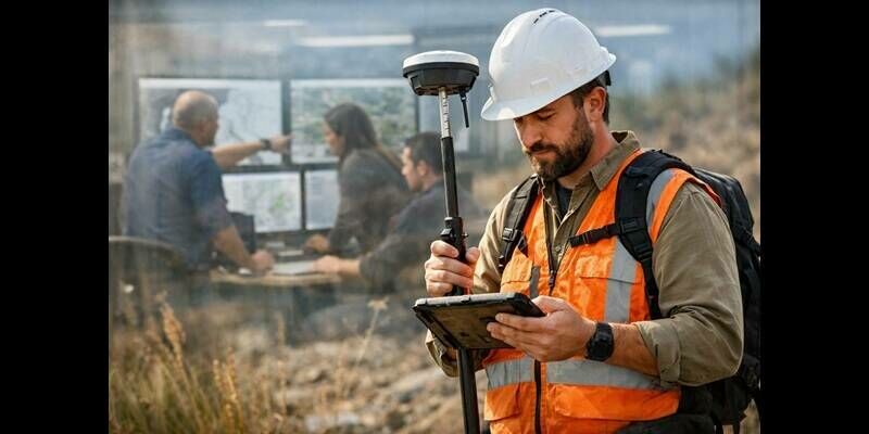
8th April 2026
Blue Marble Geographics and Avenza Systems Unite to Bring Together Complementary Products in a Field to Office Geospatial Platform
30th March 2026
Mainz Implements Fully Cloud-Based Geospatial Data Infrastructure with VertiGIS and Esri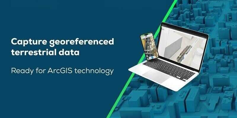
18th February 2026
Esri and Pix4D Launch Real-Time Terrestrial Mapping Workflow
13th February 2026
Association for Geographic Information Announces 2026 Council Changes
6th February 2026
Energy land and consents specialists strengthen teams with internal promotions
5th February 2026
Model Fencing: Towards Simpler and Safer AI
23rd January 2026
Mapping the future of connectivity: how GIS is solving telecom infrastructure challenges
20th January 2026
SkyWatch and Nearmap Partner to Expand Access to High-Resolution Aerial Imagery for GIS Professionals
19th January 2026
AGI Foresight Report 2030 – The Future of Geospatial
16th January 2026
What Employers Are Really Looking for in GIS Candidates in 2026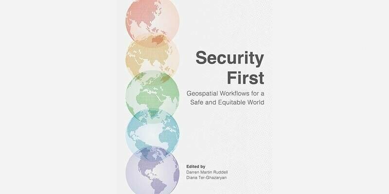
18th December 2025
Esri Releases New Book on Workflows for the Human Security and Geospatial Intelligence Field

12th December 2025
Powering intelligence: GIS and AI data centres
2nd December 2025
The geospatial revolution and why this time around, everyone’s invited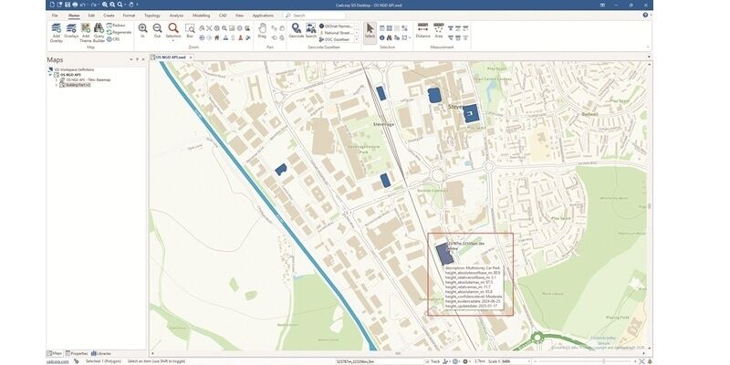

22nd November 2025
How GeoAI is transforming data quality & analysis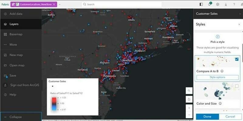
19th November 2025
Esri Introduces Latest ArcGIS Integrations for Microsoft Fabric
17th November 2025
New Report Urges Immediate Action to Realise the Value of Location Intelligence
13th November 2025
The hidden tax on geospatial data—and how to end it
13th November 2025
Manchester University NHS Foundation Trust creates smart estate with digital twin

20th October 2025
Advisory Board Announced for Geo Week 2026
30th September 2025
1Spatial Major $1.7M Enterprise Contract with Caltrans
19th September 2025
New Software Streamlines Rooftop Solar Project Planning
31st July 2025
Stream wins global Esri award for geospatial innovation

16th July 2025
Esri’s ArcGIS Basemaps Power Dataminr First Alert for Enhanced Real-Time Event Detection and Awareness
15th July 2025
Fugro and Esri collaborate to advance climate resilience
15th July 2025
Esri Collaborates with Microsoft to Bring ArcGIS Users New AI Enhancements
26th June 2025
Spatial analysis helps locate new women’s and girls’ health hubs in south east London
17th June 2025
UK police force reduces knife crime by 16% with new hotspot analysis

5th June 2025
Open Source Power: MariaDB integrates Rasdaman