
Airborne AI spots underwater munitions in shallow seas with high precision
3rd July 2026
Airborne AI spots underwater munitions in shallow seas with high precisionAerial imaging is revolutionizing the way we capture, analyze, and utilize geospatial data. Using high-resolution aerial photography and remote sensing technologies, it provides accurate and detailed visual information essential for mapping, environmental monitoring, infrastructure planning, and disaster response.
Modern aerial imaging solutions include manned aircraft, UAVs (drones), and satellite-based systems equipped with advanced sensors such as LiDAR, multispectral, and hyperspectral cameras. These technologies enable high-precision mapping, 3D terrain modeling, change detection, and real-time geospatial analysis, supporting industries such as urban planning, agriculture, forestry, defense, and construction.
With cloud-based processing, AI-powered image analysis, and real-time data streaming, aerial imaging continues to advance, offering faster, more accurate, and scalable solutions for GIS professionals and decision-makers.
GeoConnexion provides the latest insights on aerial imaging trends, innovations, and applications, helping professionals leverage aerial data for better spatial intelligence and operational efficiency.
3rd July 2026
Airborne AI spots underwater munitions in shallow seas with high precision
26th June 2026
Bluesky Launches National Clutter Map to Boost Telecoms Network Planning
25th June 2026
Diamond Aircraft Delivers Second DA62 MPP SurveyStar to Italian Remote Sensing
29-30
Sep
9th June 2026
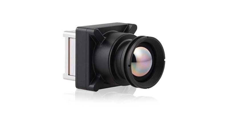
Teledyne FLIR OEM Launches Boson SX8, the First NDAA-Compliant 8 μm SXGA LWIR Thermal Camera Module
8th June 2026
NV5 expands airborne mapping capabilities with Leica TerrainMapper-3 airborne LiDAR system
26th March 2026
Using ‘imaginative’ AI to survey past and future earthquake damage
19th March 2026
Fugro maps Texas river basins to improve flood resilience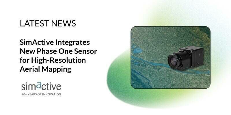
20th February 2026
SimActive Integrates New Phase One Sensor for High-Resolution Aerial Mapping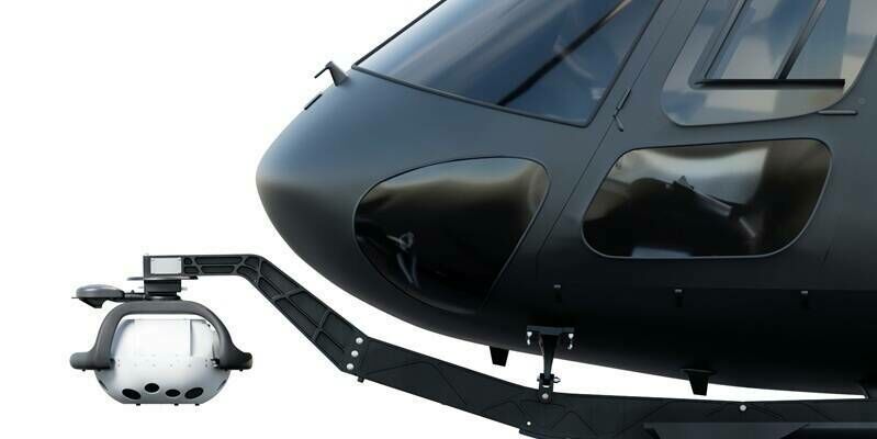
18th February 2026
New Leica MultiMapper brings portability and versatility to airborne mapping operations
13th February 2026
Teledyne FLIR OEM Expands Neutrino ISR Series with Longest-Range SX8 ISR 50-1000 Model
11th February 2026
Moving beyond money to measure the true value of Earth science information
10th February 2026
Large-Scale Aerial Mapping: How Do You Make It Work?
4th February 2026
EAASI Summit 2025: Annual Gathering Reflects Year-Round Industry Collaboration
4th February 2026
A new benchmark – sub-centimeter aerial mapping at aircraft speeds without compromises
30th January 2026
UAVOS Introduces Stratospheric Earth Observation Payload Following Successful Flight Tests
29th January 2026
Next-gen Leica CityMapper-3 increases efficiency for airborne urban and regional mapping
20th January 2026
SkyWatch and Nearmap Partner to Expand Access to High-Resolution Aerial Imagery for GIS Professionals
10th November 2025
Slagboom & Peeters Aerial Surveys Becomes First Worldwide Customer of Vexcel’s New UltraCam Dragon 4.2
14th October 2025
Phase One unveiled a powerful lineup of innovations at Intergeo 2025
8th October 2025
Vexcel Imaging Unveils the UltraCam Dragon 4.2: A New Benchmark in Hybrid Oblique Imaging and LiDAR
2nd October 2025
Phase One announces seamless integration of its P3 camera with the new DJI M400 drone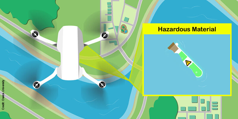
29th September 2025
Lightweight framework takes UAV remote sensing to the next level
27th August 2025
12th Joint Space Operations Summit to take place November 5–6, 2025, in National Harbor, MD
15th August 2025
Change detection analysis to support flood mitigation strategies and greening programmes
13th August 2025
GeoTech Overseas Deploys UltraCam Osprey in Saudi Arabia
18th July 2025
Astroscale U.S. Signs Space Act Agreement with NASA to Advance National Security On-Orbit Servicing Capabilities
30th June 2025
Umbra Expands U.S. Production Capacity with Move to New 50,000 Sq Ft Manufacturing Facility
13th June 2025
Hexagon to update high-resolution aerial imagery across ten US states for 2025
8th June 2025
Eye-in-the-sky sets a new standard for autonomous inspections
25th May 2025
"Trey" Whitworth delivers keynote at 2025 GEOINT Symposium
20th May 2025
GeoTerra Selects Vexcel’s UltraCam Merlin 4.1 to Elevate Aerial Mapping Operations in the Pacific Northwest
14th May 2025
CGIS Qatar Case Study: Leveraging Vexcel Imaging for a True 3D City Model of Doha
8th May 2025
Inexpensive drone technology shows promise for community forest restoration and funding

24th April 2025
NASA airborne sensor's wildfire data helps firefighters take action
23rd April 2025
Finnish researchers map endangered wolverine habitats using satellite data
1st April 2025
Vexcel Imaging Announces Newest UltraCam: Osprey 4.2
27th March 2025
Sentera Joins Thermal by FLIR Program, Elevates 6X Thermal Sensor Series for Precision UAS Applications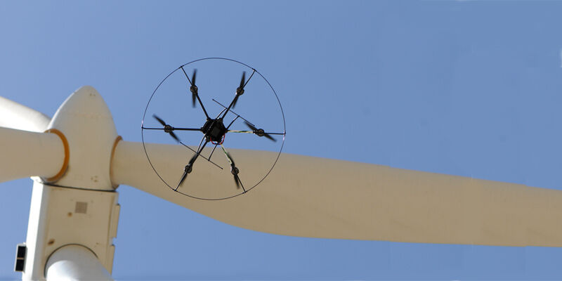
18th November 2024
Drone inspection — An unsuspected contributor to a greener future?
27th September 2024
LiDAR-based system allows unmanned aerial vehicle team to rapidly reconstruct environments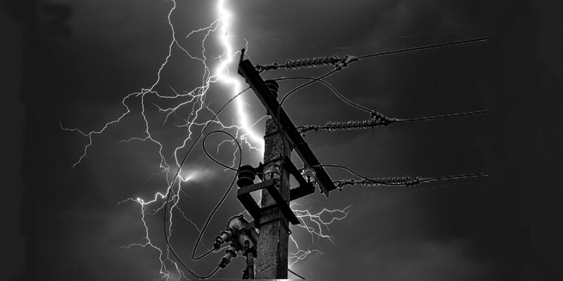
28th August 2024
Protecting electric grid health with drone-based power line inspection
26th August 2024
Drone-based magnetometry helps in search to solve the Amelia Earhart mystery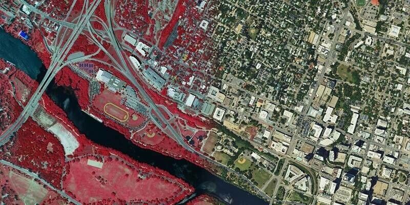
24th July 2024
Hexagon announces refresh of high-resolution aerial data for 14 U.S. states
5th July 2024
Are Larger Format Cameras Better for Mapping?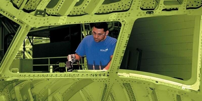
3rd July 2024
Airbus enters agreement with Spirit AeroSystems
6th June 2024
Bluesky aerial mapping technology reveals carbon stored in Britain’s hedgerows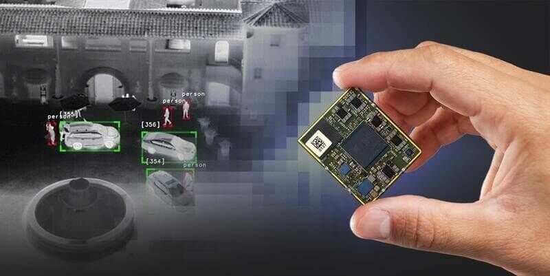
23rd April 2024
New Qualcomm-Built Advanced Video Processor by Teledyne FLIR Powers AI at the Edge