
HawkEye 360 Announces New Leadership for Innovative Signal Analysis
19th June 2026
HawkEye 360 Announces New Leadership for Innovative Signal Analysis
19th June 2026
HawkEye 360 Announces New Leadership for Innovative Signal Analysis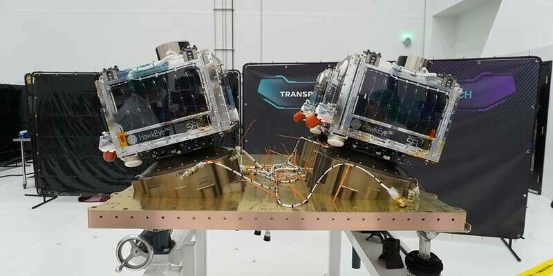
18th June 2026
HawkEye 360 Achieves Full Operational Capacity for Cluster 14
22nd April 2026
Reimagining Earth Measurement for the AI Era: L3Harris and Xoople Develop a New Spaceborne Capability
27th March 2026
Fugro deploys amphibious buggy to support investigations for new Danish motorway link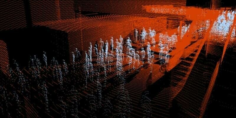
17th March 2026
Bordeaux Airport, in partnership with Outsight, launches a Physical AI experiment to anticipate and reduce passenger waiting times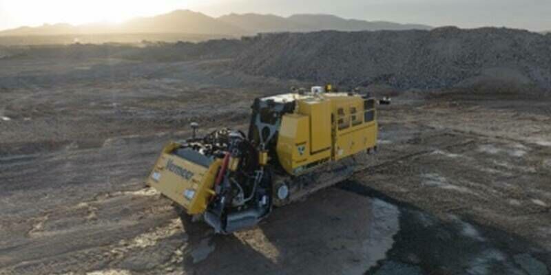
17th March 2026
Trimble and Vermeer Announce Trimble Ready Option for New Vermeer SM55 Surface Miner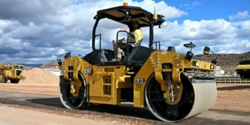
10th March 2026
Trimble Announces Ground Penetrating Radar Integration for Real-Time Asphalt Compaction Quality Control
18th February 2026
Mapping Natural Hydrogen Potential in the Pyrenees Foothills Using 3C Passive Seismic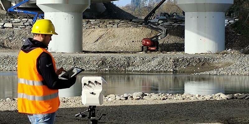
18th February 2026
IDS GeoRadar launches MyMO – a portable device for fast, non-contact monitoring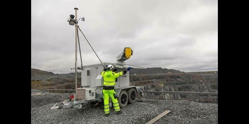
29th January 2026
IDS GeoRadar launches ArcSAR Neo to strengthen slope-risk management and mine safety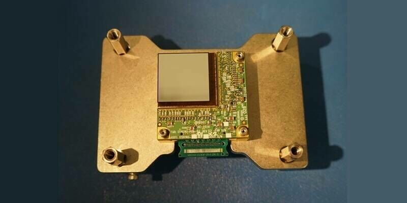
21st January 2026
Teledyne’s Detectors Successfully Launch Aboard NASA’s BlackCAT CubeSat Mission
8th January 2026
STRYDE celebrates record year and eyes further growth

8th December 2025
SSC and ICEYE signed LOI to strengthen Nordic and NATO space-based capabilities
28th November 2025
Fugro launches new remote operations centre in Kuala Lumpur, Malaysia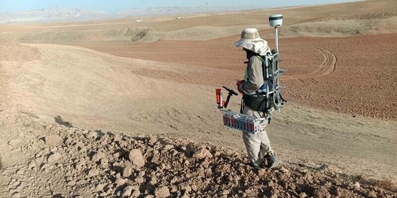
6th November 2025
DMT Group selects STRYDE for high-density 3D oil and gas seismic survey in the Kurdistan Region of Iraq (KRI)
20th October 2025
Advisory Board Announced for Geo Week 2026
17th October 2025
Open Cosmos wins The Spanish Atlantic Constellation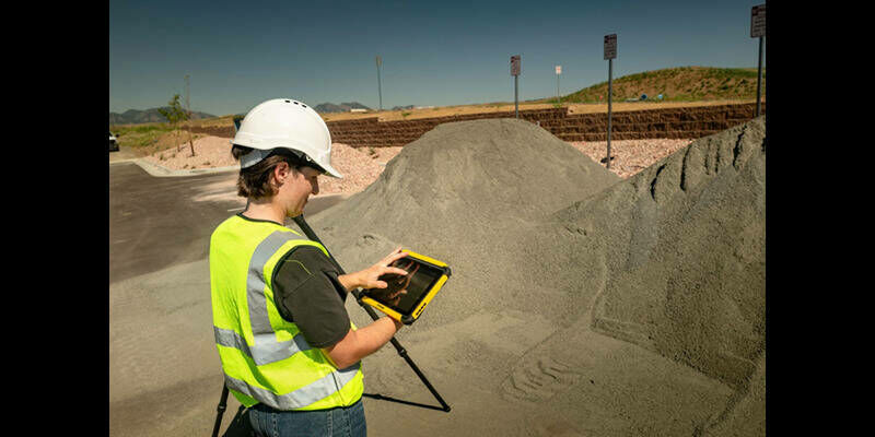
14th October 2025
Trimble Ushers in New Era of Productivity and Connectivity with Comprehensive Data Collector Portfolio
9th October 2025
Innovation in Every Pulse: RIEGL’s New LiDAR Technologies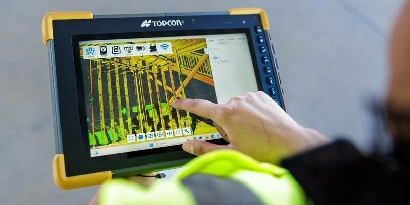
8th October 2025
Topcon to launch latest Geomatics innovations at INTERGEO 2025 for simplified, connected mass data workflows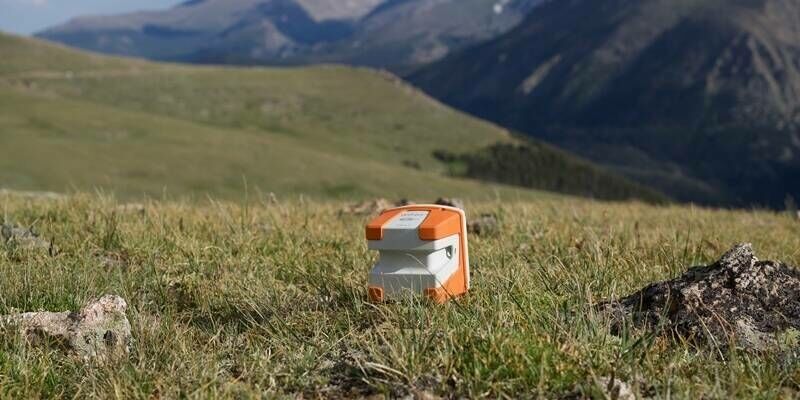
15th September 2025
Viridien and Mantle8 enter into strategic partnership to fast-track natural hydrogen exploration across EMEA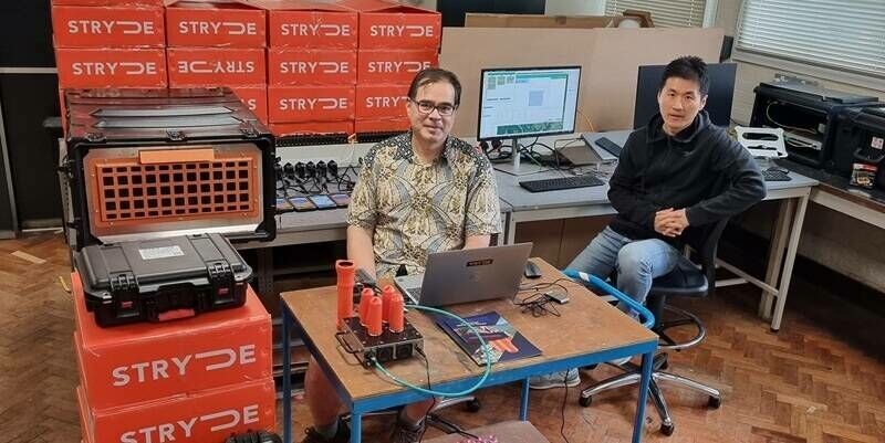
27th August 2025
UK Universities enhance seismology toolkit with STRYDE Mini Seismic Systems
26th August 2025
PXGEO wins two-year geophysical contract to support Malaysia Upstream Activities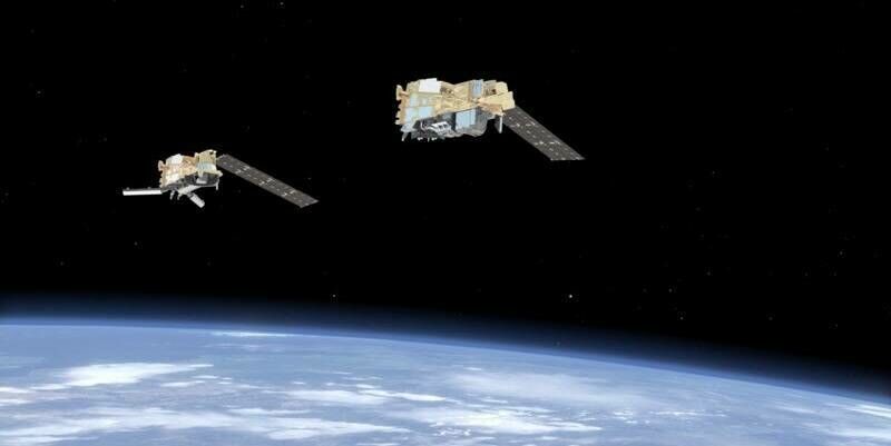
19th August 2025
EUMETSAT has taken control of the Metop Second Generation A1 satellite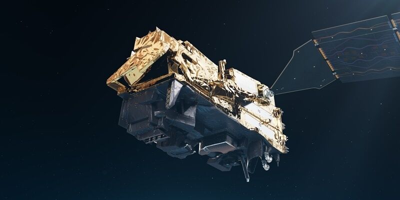
17th August 2025
LYNRED equips disruptive next-gen METOP-SG weather satellite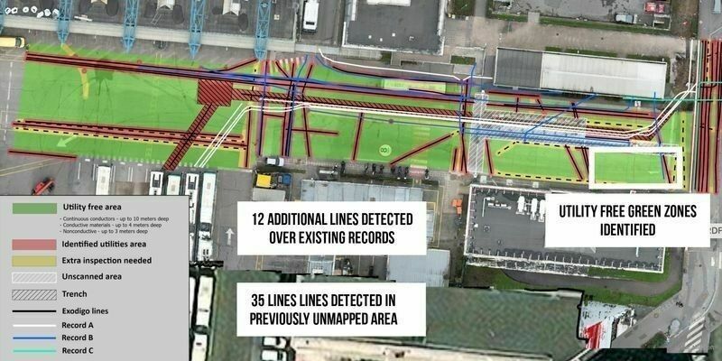
23rd July 2025
Exodigo Brings AI Efficiency to Infrastructure Industry, Closes $96 Million Series B
3rd July 2025
LYNRED at the forefront of the next mission of Meteosat Third Generation Sounder (MTG-S1)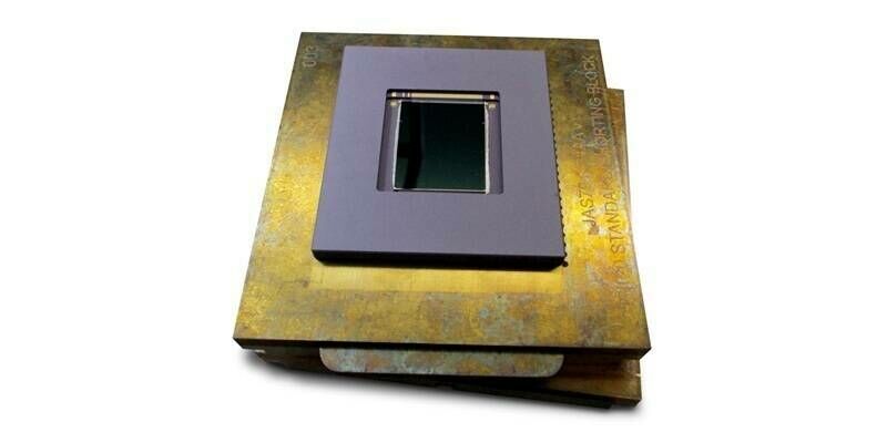
1st July 2025
Teledyne Space Imaging CIS120 sensors launch on Japanese GOSAT-GW climate change observation mission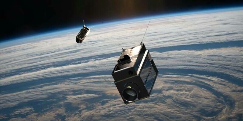
25th June 2025
SFL Missions Announces Launch and Successful Deployment of Two GHGSat Greenhouse Gas Monitoring Microsatellites
17th June 2025
Leica DS4000 helps reveal previously undetectable underground utility assets
4th June 2025
Smartphone GPS data pinpoints where people and wildlife cross paths
4th June 2025
Viridien sets new seismic data acquisition standard with launch of Sercel Accel
20th May 2025
GeoTerra Selects Vexcel’s UltraCam Merlin 4.1 to Elevate Aerial Mapping Operations in the Pacific Northwest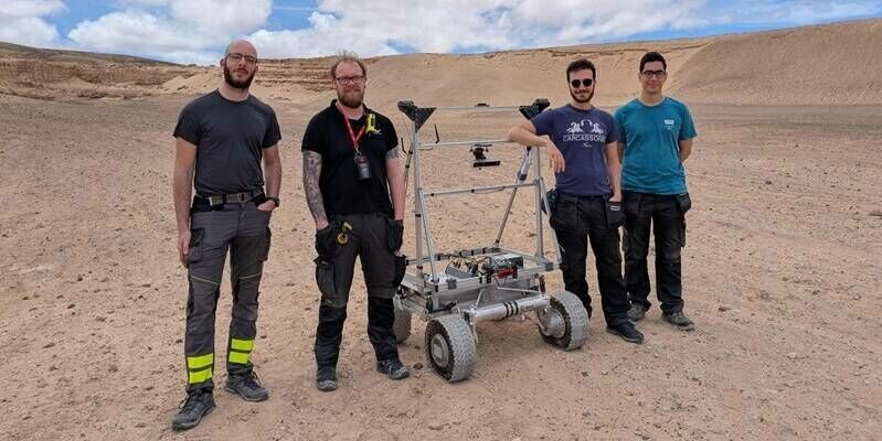
12th May 2025
With LUPIN, GMV marks a new era in automated lunar exploration
11th May 2025
RIEGL VZ-i Series Kinematic App: Mobilize your terrestrial laser scanner!
25th April 2025
Rocket Technology Takes the Spotlight at SPEXA 2025
23rd April 2025
Finnish researchers map endangered wolverine habitats using satellite data
17th April 2025
USGS Selects Woolpert to Provide Elevation-Derived Hydrography for State of Tennessee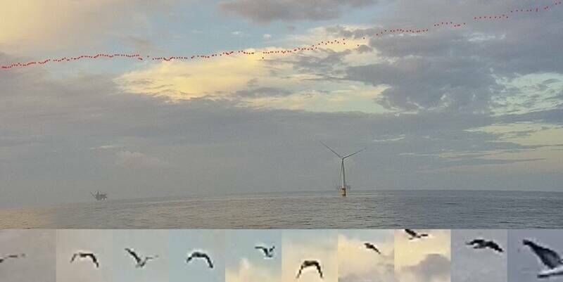
14th April 2025
Fugro and Spoor create new AI bird-monitoring solution for offshore wind farms
14th April 2025
RIEGL VZ-4000i-25: The Ultimate Long Range Scanner for Topography, Mining & Monitoring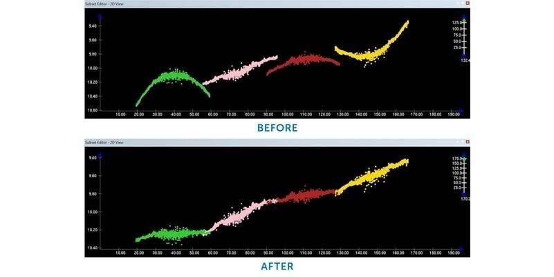
4th April 2025
Teledyne CARIS to showcase innovative marine solutions at Ocean Business 2025
27th March 2025
SITECH Deutschland GmbH Partners with RodRadar to Revolutionize Utility Strike Prevention with Live Dig Radar Technology
25th March 2025
Project Pressure Rwenzori Expedition maps Uganda’s disappearing tropical glaciers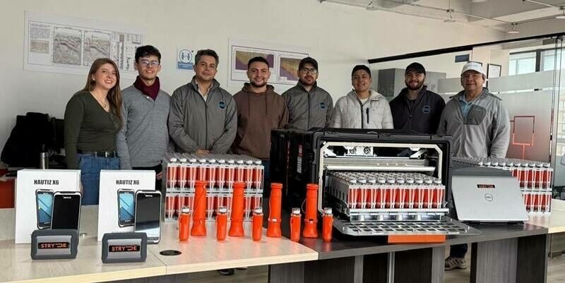
18th March 2025
STRYDE lands first Mini Seismic System sale in Latin America
4th March 2025
KOREC Group announces new partner agreement with Exyn Technologies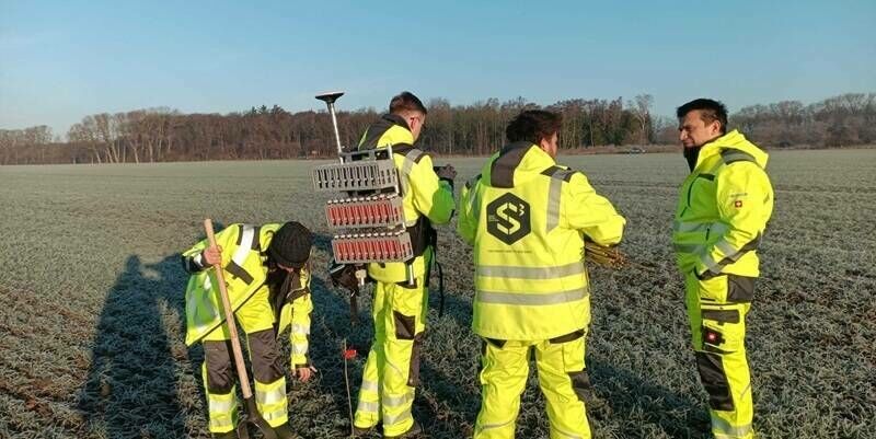
10th February 2025
Smart Seismic Solutions to deliver CarbonCuts onshore CO2 storage seismic survey using STRYDE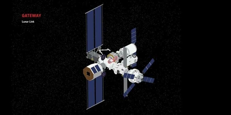
3rd February 2025
ESA’s first lunar lander to be built by Thales Alenia Space-led consortium