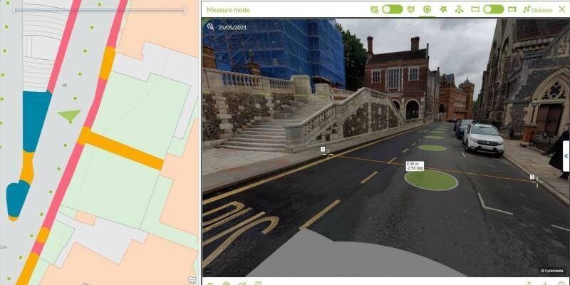
London Borough of Harrow creates digital twin with new street imagery and LiDAR data
26th August 2021
London Borough of Harrow creates digital twin with new street imagery and LiDAR dataTerrestrial and airborne laser (LiDAR) scanners for the collection of 3D point cloud data; software for processing and visualising point clouds and creating 3D models, and use cases for laser scanning
This topic covers the science, the hardware, and the software used to capture, process and apply 3D point cloud data. As well as airborne and terrestrial (tripod-based, vehicle-mounted and handheld) laser (LiDAR) scanners, the topic includes the proprietary and Open Source software employed to process point clouds and create 3D models. It also covers the many and varied uses for 3D laser scanning: topographic mapping, bathymetric mapping, utility mapping, engineering surveying, agriculture, forestry, geology, architecture, industrial facilities, cultural heritage, asset management and construction, collision avoidance in autonomous and semi-autonomous vehicles, and environmental modelling
26th August 2021
London Borough of Harrow creates digital twin with new street imagery and LiDAR data

19th August 2021
New Trimble GEDO GX50 Laser Scanning System Introduced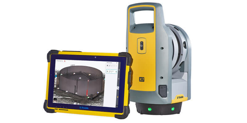
19th August 2021
Trimble X7 and Perspective 3D Scanning Solution Garners Three International Design Awards
19th August 2021
North Dakota Department of Transportation Selects GeoCue True View LIDAR/Imaging Technology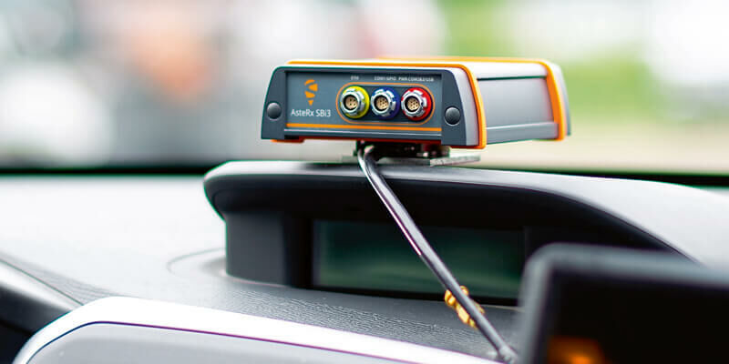
19th August 2021
Septentrio announces partnership with XenomatiX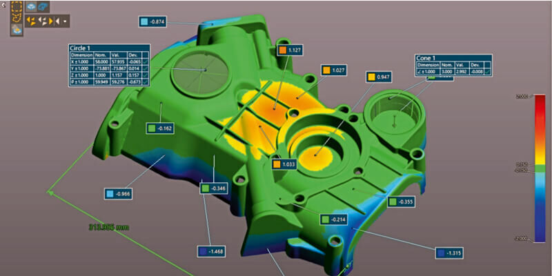
19th August 2021
Creaform Announces the Release of VXelements 9.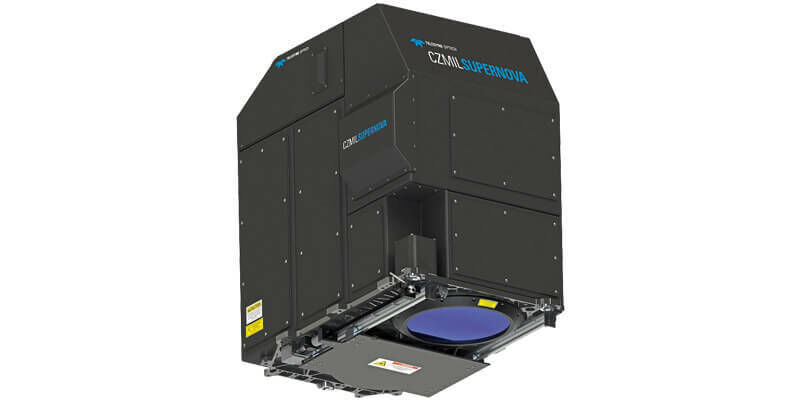
19th August 2021
GeoSLAM Launches New Underground Mining Solutions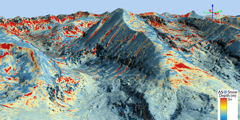
19th August 2021
Airborne Snow Observatories takes delivery of the RIEGL VQ-1560 II-S LiDAR System
19th August 2021
HERE announces mobile LiDAR data and more accessible within Bentley’s Orbit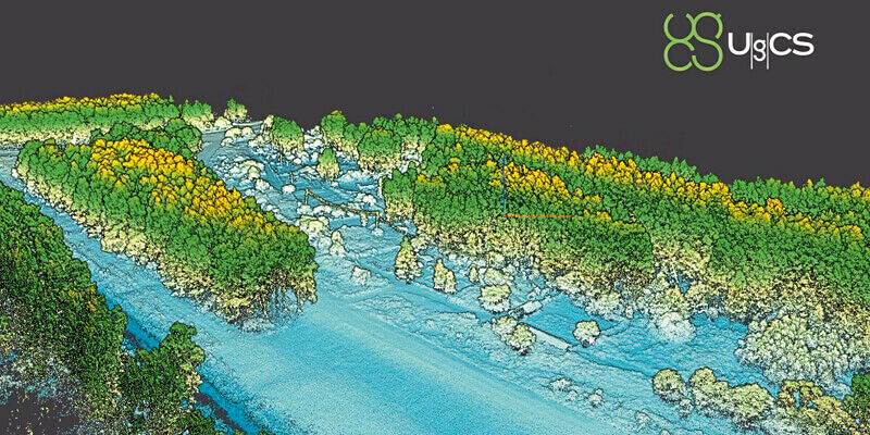
19th August 2021
SPH Engineering announces the update of UgCS for UAV-based LIDAR mapping
19th August 2021
SimActive Software Used with both LiDAR and Imagery to Map Venice Beach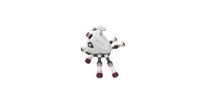
18th August 2021
NV5 Geospatial Expands Mobile Mapping Fleet with State-of-the-Art RIEGL VMX-2HA Platform
9th August 2021
Riegl’s Ultimate Lidar Webinar Series: August 2021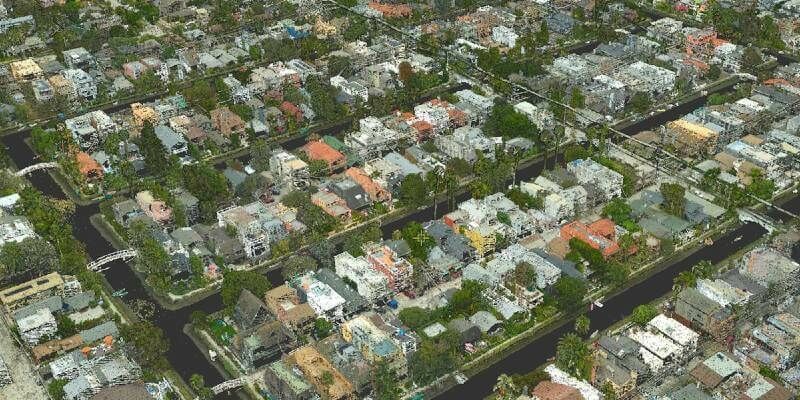
3rd August 2021
SimActive Software Used with both LiDAR and Imagery to Map Venice Beach, California during the Pandemic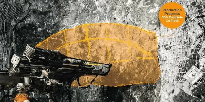
30th July 2021
GeoSLAM launches new underground mining solutions
15th July 2021
Maptek consolidates on field benefits for high accuracy survey-grade sensors
14th July 2021
Bluesky and BlackSky Join Forces to Bring Satellite Imagery to the U.K.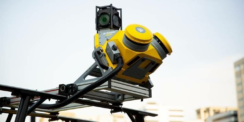
13th July 2021
Trimble Mx50 Lidar System Expands Mobile Mapping Portfolio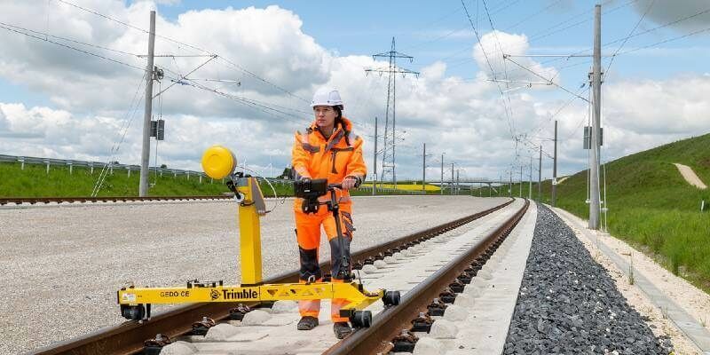
13th July 2021
New Trimble GEDO GX50 Laser Scanning System Introduced for Clearance Analysis and Asset Data Collection for Railway Applications
12th July 2021
Riegl Ricast: Forest Inventory By Means Of Laser Scanning Technology
8th July 2021
Recordings Are Now Available For The Riegl Ultimate Lidar June 2021 Webinars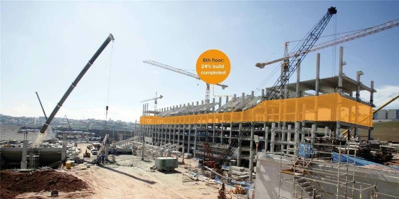
7th July 2021
GeoSLAM launches new solution to optimise construction progress tracking
1st July 2021
XenomatiX launched the next generation true-solid-state LiDAR1st July 2021
G2Survey Limited: The latest Leica Geosystems authorised distributor and service partner
1st July 2021
GeoSLAM launches next generation data processing
1st July 2021
GeoCue Upgrades Survey-Grade UAS LIDAR/Imaging Systems with True View 635/640
1st July 2021
VeriDaaS Initiates California Statewide LiDAR Collection Project
1st July 2021
The Caribbean Community Climate Change Centre (CCCC) Upgrades Riegl Lidar System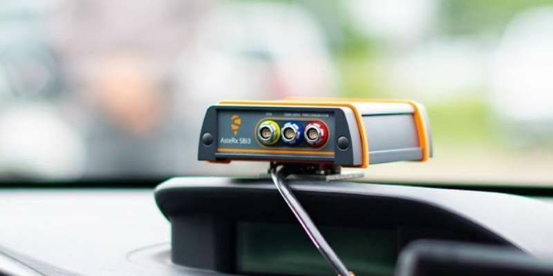
1st July 2021
Septentrio announces partnership with XenomatiX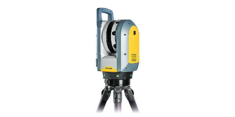
30th June 2021
Trimble X7 and Perspective 3D Scanning Solution Garners Three International Design Awards

25th June 2021
Geo Week Announces Massive Early Support for 2022 Event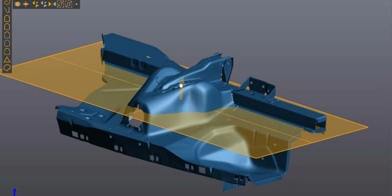
24th June 2021
Creaform Announces the Release of VXelements 9.0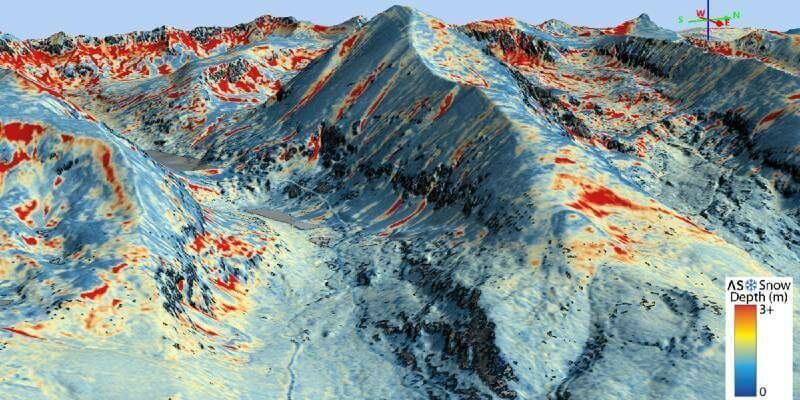
18th June 2021
Airborne Snow Observatories takes delivery of the all-new cutting-edge RIEGL VQ-1560 II-S LiDAR System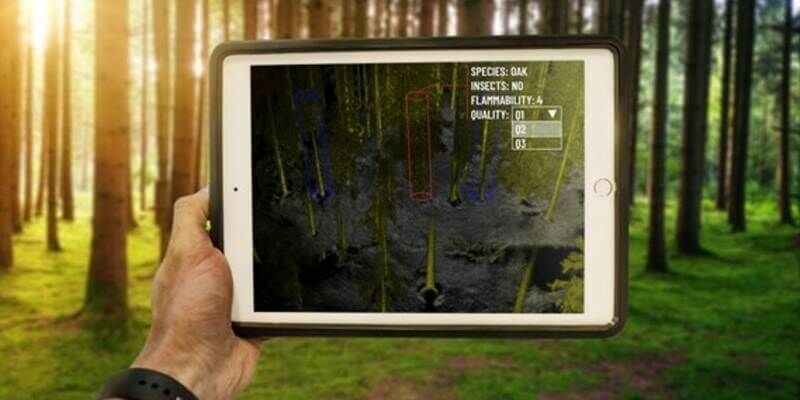
17th June 2021
Outsight, the 1st LiDAR that Sees Individual Trees While 3D Mapping Forests in Real-Time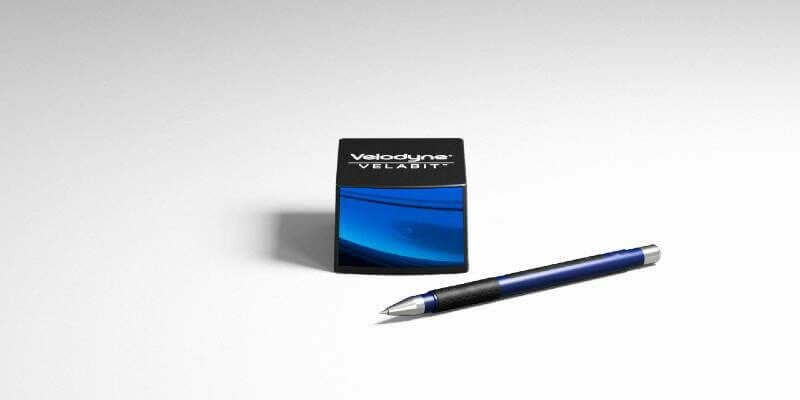
16th June 2021
Velodyne Lidar Introduces Next-Generation Velabit Sensor
14th June 2021
RIEGL RiCAST: The Sky is Not the Limit with RIEGL’s VQ-840-G
8th June 2021
HERE announces mobile LiDAR data, street-level imagery, and core geospatial data now accessible within Bentley’s Orbit for reality modelling and digital twin workflows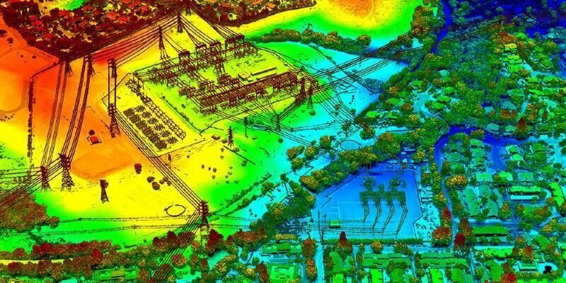
2nd June 2021
VeriDaaS Initiates California Statewide LiDAR Collection Project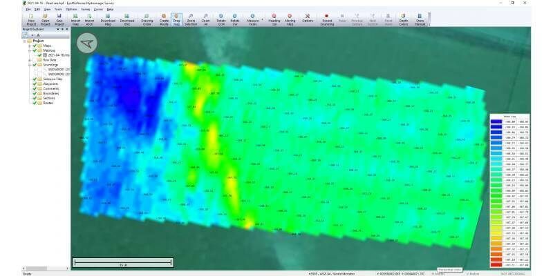
1st June 2021
Bathymetric surveys with a UAV and an echo sounder successfully conducted in Israel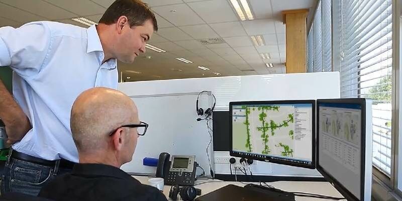
28th May 2021
Trimble Introduces Vegetation Management Solution for Improving Electric Utility Infrastructure Resilience
27th May 2021
Hexagon supports new centre for digital planning and construction
26th May 2021
Riegl's Ultimate Lidar Webinar Series: June 2021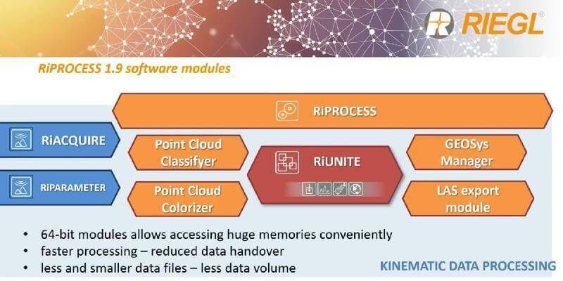
21st May 2021
RIEGL’s RiPROCESS 1.9 with RiUNITE: A New Standard of Speed and Data Compression in Processing Kinematic Data
14th May 2021
RIEGL RiCAST: Miranda and RIEGL’s International Virtual Conference Day