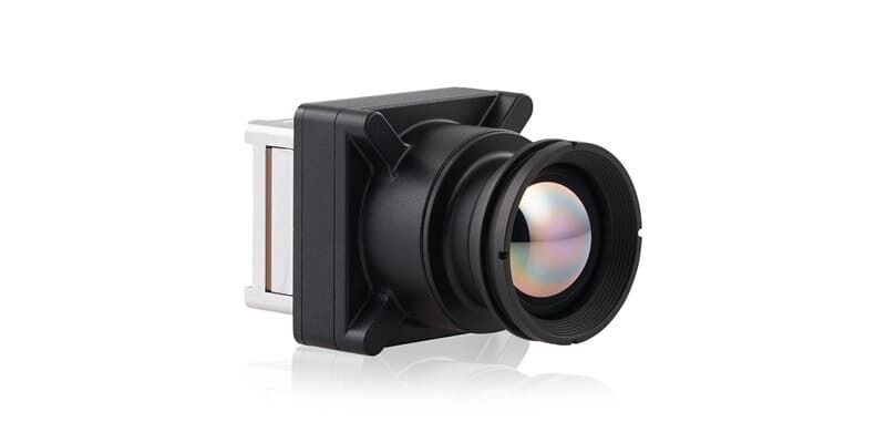
Teledyne FLIR OEM Launches Boson SX8, the First NDAA-Compliant 8 μm SXGA LWIR Thermal Camera Module
9th June 2026
Teledyne FLIR OEM Launches Boson SX8, the First NDAA-Compliant 8 μm SXGA LWIR Thermal Camera Module
9th June 2026
Teledyne FLIR OEM Launches Boson SX8, the First NDAA-Compliant 8 μm SXGA LWIR Thermal Camera Module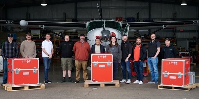
8th June 2026
NV5 expands airborne mapping capabilities with Leica TerrainMapper-3 airborne LiDAR system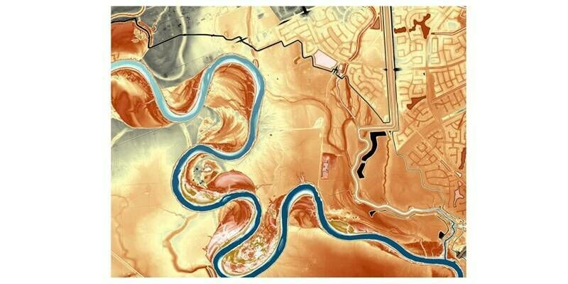
19th March 2026
Fugro maps Texas river basins to improve flood resilience
01-03
Sep
Caesar’s Forum Las Vegas USA
Commercial UAV EXPO 1-3 September 2026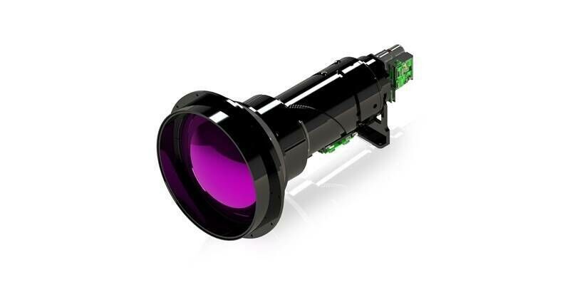
13th February 2026
Teledyne FLIR OEM Expands Neutrino ISR Series with Longest-Range SX8 ISR 50-1000 Model
10th February 2026
Large-Scale Aerial Mapping: How Do You Make It Work?
4th February 2026
EAASI Summit 2025: Annual Gathering Reflects Year-Round Industry Collaboration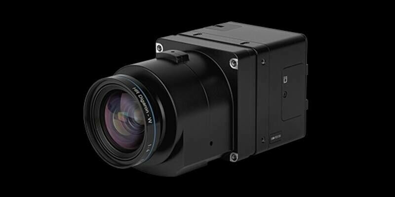
4th February 2026
A new benchmark – sub-centimeter aerial mapping at aircraft speeds without compromises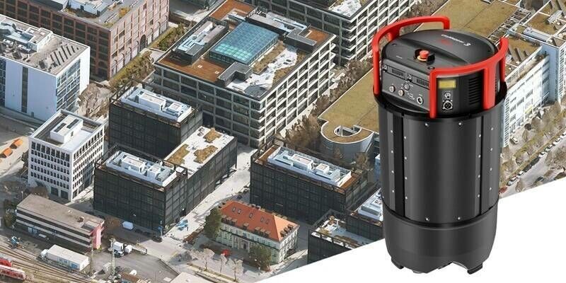
29th January 2026
Next-gen Leica CityMapper-3 increases efficiency for airborne urban and regional mapping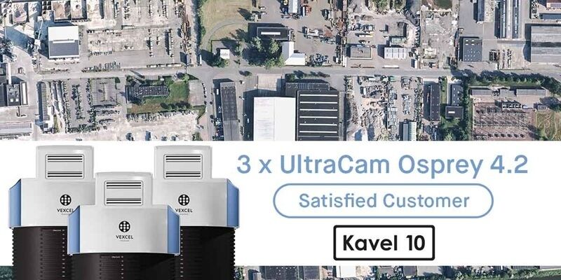
23rd January 2026
Kavel 10 invests in three UltraCam Osprey 4.2 systems
2nd October 2025
Teledyne Optech to showcase advanced mapping and marine technologies at INTERGEO 2025
21st July 2025
Spexi Expands Orthomosaic Coverage with 1M+ Acre Initiative
1st April 2025
Vexcel Imaging Announces Newest UltraCam: Osprey 4.2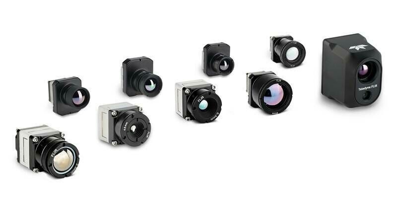
13th March 2025
Teledyne FLIR OEM Radiometric Thermal Boson+ and Hadron 640R+ Dual Thermal-Visible Camera Modules Now Available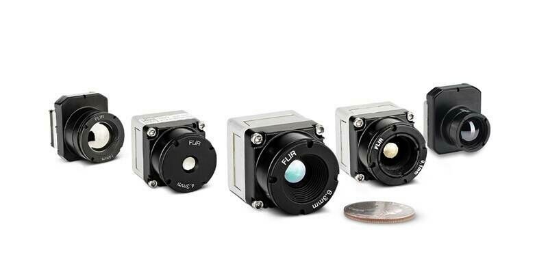
9th December 2024
Thermal by FLIR Collaborator Gremsy Provides Vio Drone Payload for Public Safety and Industrial Applications
27th November 2024
Bluesky National Tree Map data supports vital conservation work at Blenheim Palace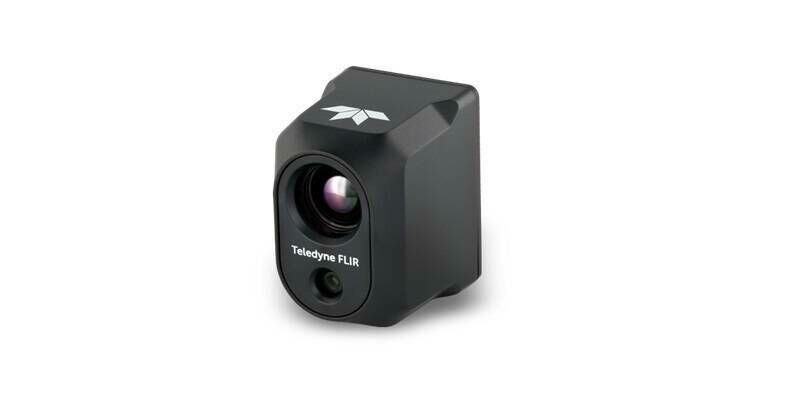
21st November 2024
Teledyne FLIR Selected as Thermal Camera Provider for the Red Cat Drone Black Widow U.S. Army SRR Program Award
18th November 2024
Drone inspection — An unsuspected contributor to a greener future?
31st July 2024
Bluesky named sole supplier of aerial photography to UK Government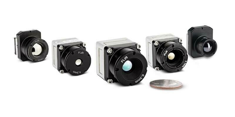
18th July 2024
Teledyne FLIR Boosts Boson+ Infrared Thermal Camera Performance with Embedded Software Upgrade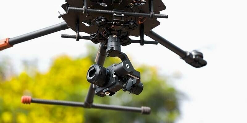
14th July 2024
Sony and Gremsy collaborate to deliver premium drone imaging solutions
5th July 2024
Are Larger Format Cameras Better for Mapping?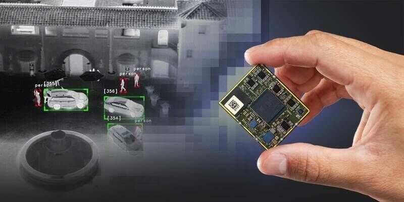
23rd April 2024
New Qualcomm-Built Advanced Video Processor by Teledyne FLIR Powers AI at the Edge
21st December 2023
Bluesky partners with Sensat providing data for new visualisation tool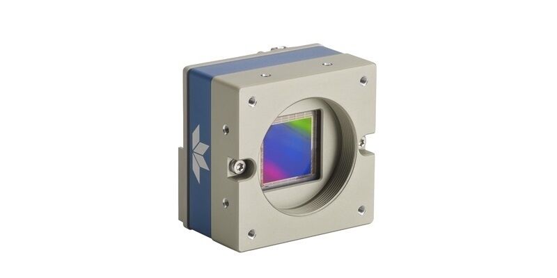
18th December 2023
Teledyne DALSA Genie Nano-10GigE cameras in full production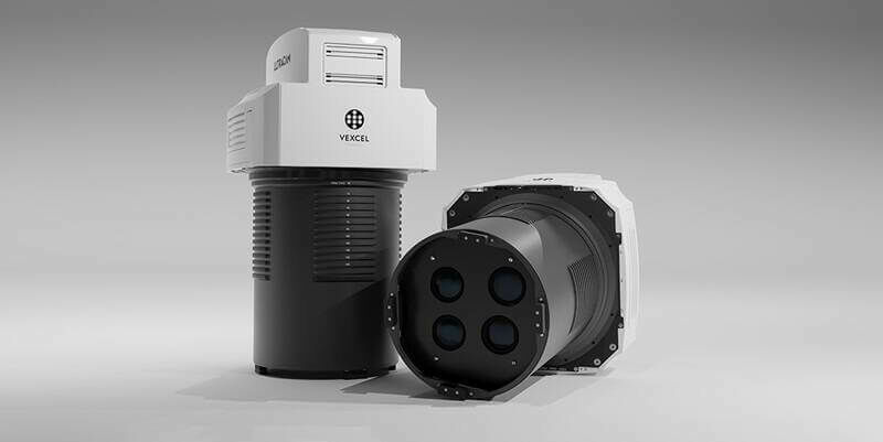
5th December 2023
Vexcel Imaging introduces new UltraCam Merlin 4.1 aerial camera system for elevated profitability and performance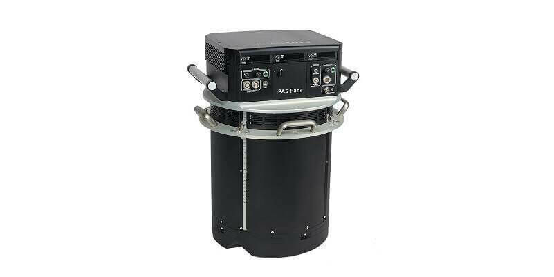
11th October 2023
Phase One Introduces PAS Pana at InterGeo 2023: The Most Effective Wide Area Camera for Aerial Mapping
4th October 2023
Richard Evans Appointed to Role of Sales Consultant at Bluesky International
11th September 2023
Bluesky Made a Record-Breaking Start to the 2023 Mapping Flying Season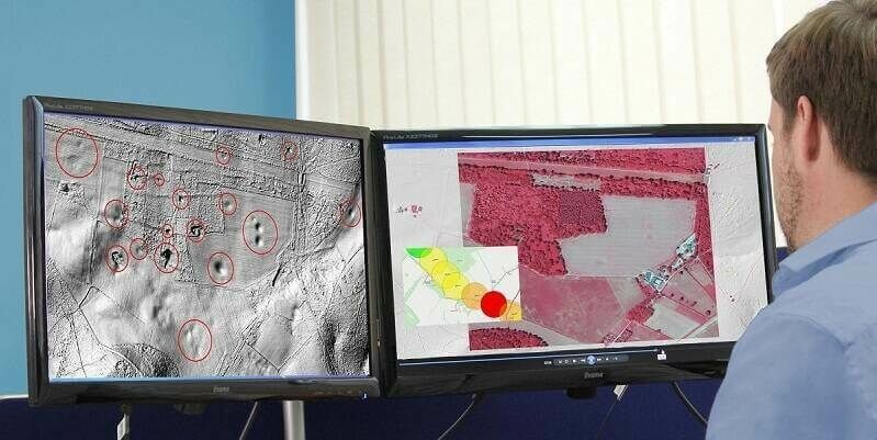
1st September 2023
Bluesky Aerial Data Helps CGL Pinpoint Natural Hazards at Development Sites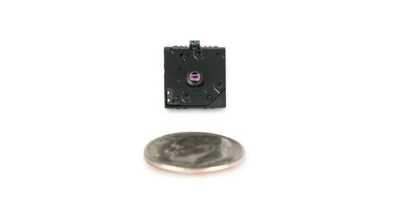
30th August 2023
Teledyne FLIR Introduces Lepton 3.1R Radiometric Thermal Camera Module for Integrators
16th August 2023
SimActive Used with Phase One Cameras for Precise Photogrammetry
9th August 2023
Webinar Topic: Cameras on Drones and Aircraft: Is Bigger Always Better?
28th July 2023
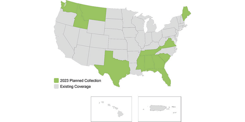
Hexagon to update high-resolution geospatial data of twelve US states
28th June 2023
Bluesky Makes a Record Breaking Start to the 2023 Mapping Flying Season
22nd June 2023
LexisNexis Improves Insurer Risk Assessment Portfolio with National Tree Map
16th June 2023
Bluesky Expands Commercial Team with Appointment of Bassett and Hoskins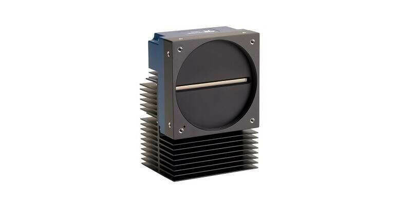
30th May 2023
Teledyne’s backside illuminated TDI camera delivers greater sensitivity for near ultraviolet and visible imaging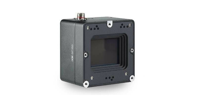
23rd May 2023
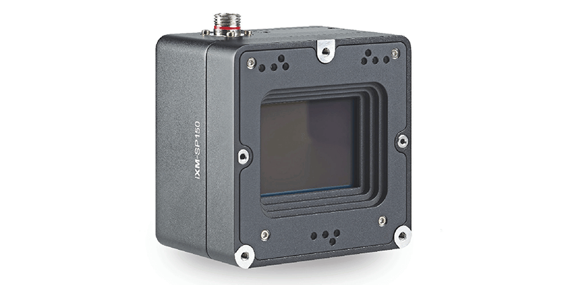
Phase One Announces iXM-SP150 at GEOINT - An Advanced 150 Megapixels Snapshot Matrix Camera for Earth Observation and Space Domain Awareness Applications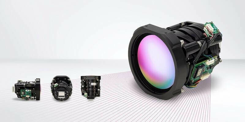
10th May 2023
Teledyne FLIR Boson+ Thermal Camera Now Available with Factory-Integrated Continuous Zoom Lens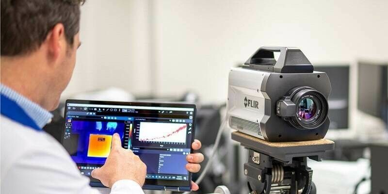
2nd May 2023
Teledyne FLIR Announces Version 3.0 Release of Research Studio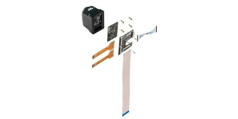
20th April 2023
Teledyne FLIR Adds Development Kits for Hadron 640R Dual Camera Module Integration for Qualcomm and NVIDIA Embedded Systems
29th March 2023
UP42 and Vexcel Team Up to Expand Aerial Imagery and Geospatial Data Portfolio on the Marketplace
1st March 2023
Bluesky Geospatial Launches Metrovista 3D Aerial Mapping Program in U.S.
1st March 2023
Aero-Graphics Purchases Two 4th Generation Ultracam Eagle 4.1 Aerial Cameras