
First complete map of world’s seagrass offers warnings and hope for conservation
25th June 2026
First complete map of world’s seagrass offers warnings and hope for conservation
25th June 2026
First complete map of world’s seagrass offers warnings and hope for conservation
5th May 2026
How Ordnance Survey is bringing together leaders and innovators to explore how location can help tackle real-world challenges
19th February 2026
Trimble Sponsors Global Design Challenge to Empower Future Engineers
18th February 2026
Geo Week 2026 Opens Today with Record-Breaking Exhibit Hall
11th November 2025
New Wingtra-Trimble partnership brings seamless data integration for KOREC drone customers
18th May 2025
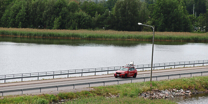
GRIT remaps the world's rivers, branching into the unknown to aid global flood modeling
14th April 2025
RIEGL VZ-4000i-25: The Ultimate Long Range Scanner for Topography, Mining & Monitoring
19th February 2025
New model maps animal farms to tackle environmental challenges
11th February 2025
Novel application of AI provides the most accurate model of the Earth’s surface publicly available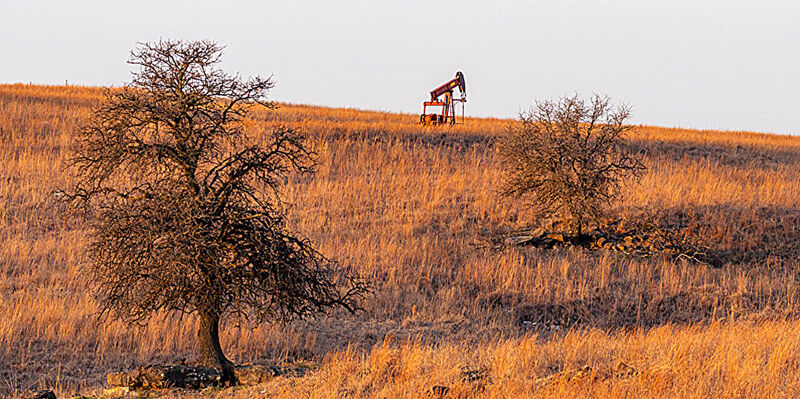
5th December 2024
AI helps researchers dig through old maps to find lost oil and gas wells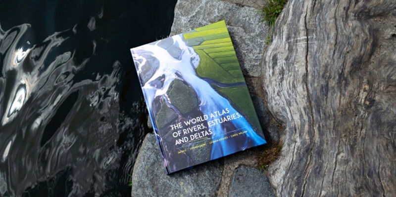
11th September 2024
More than maps: New atlas captures the state of global river systems through human context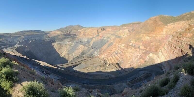
25th July 2024
Updates to international database provide powerful insights on valuable byproduct minerals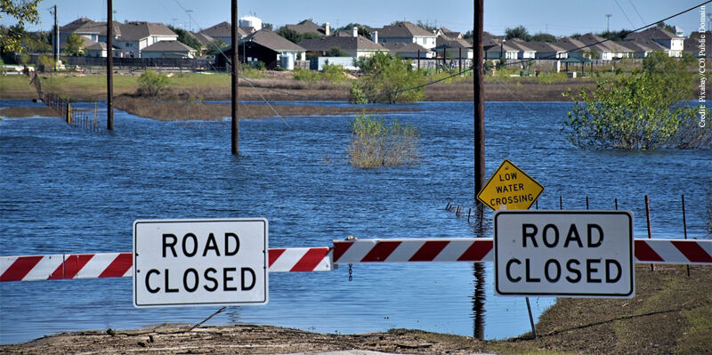
9th March 2024
Flood risk mapping is a public good, so why the public resistance in Canada?
16th February 2024
The Princess Royal Visits Emergency Services Showcase At Ordnance Survey To See How Cutting Edge Data Can Build A Resilient And Safe Britain
14th April 2023
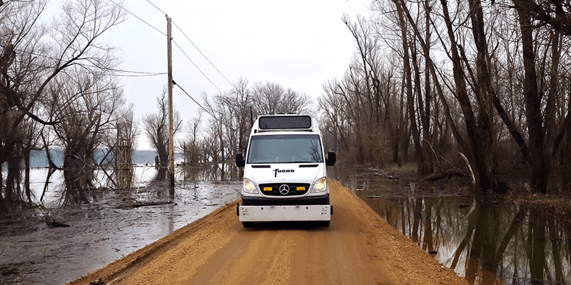
Fugro’s new contract in Louisiana focuses on safe and sustainable roads
1st March 2023
Cadcorp Expands Cloud Options for Desktop GIS, Web Mapping and Spatial Data in G-Cloud 13
1st March 2023
The MUDDI Path Towards a Clearer Underground
9th November 2022
Novel atlas shows vast urban infrastructure divide between Global South and Global North
2nd November 2022
Juniper Systems introduces the all-new Mesa Pro Rugged
2nd November 2022
Announcing a new Trimble BuildingPoint dealer for the UK and Ireland
25th October 2022
Leica AP20 AutoPole wins Wichmann Innovations Award at INTERGEO 2022
20th October 2022
World Premiere INTERGEO 2022: The New RIEGL VZ-600i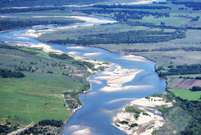

18th October 2022
Silicon Sensing - FOG performance challenged with compact, low power consumption MEMS IMU
13th June 2022
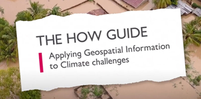
New ‘How’ guide demonstrates how geospatial can be applied to climate challenges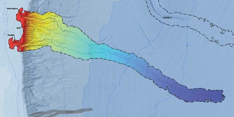
25th February 2022
CSA and BOEM to Publish Online Open-Access Atlas of US Submarine Canyons
1st July 2021
Vivax Metrotech Integrates PointMan into First Utility Locate Device with RTK GNSS
29th April 2021
thinkWhere Wins Contract to Open Up Access to European Mapping29th April 2021
Ordnance Survey and UK PropTech Association announce partnership
28th April 2021
New gateway will connect users to open maps for Europe from official national sources
21st April 2021
Wiltshire Council uses Bluesky National Tree Map to Manage Public Tree Stock
18th April 2021
Silicon Sensing - New 9 DoF IMU – the DMU41 – 50% smaller, 40% lighter, 50% less power usage
5th March 2021
Ecopia AI and Airbus partnership will provide next-generation digital maps on a global scale
14th January 2021
UK Firm Invests in Revolutionary 3D Ground Probing Radar System
8th January 2021
ClearSkies Geomatics acquired the AERIALSURVEY.com
30th October 2020
MGISS Mapping Technology Helps Urban Surveyors Achieve Ultimate Accuracy

16th September 2020
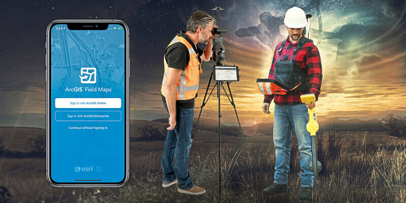
Eos Positioning Systems announces compatibility of Eos Laser Mapping and Eos Locate with Esri ArcGIS Field Maps (beta)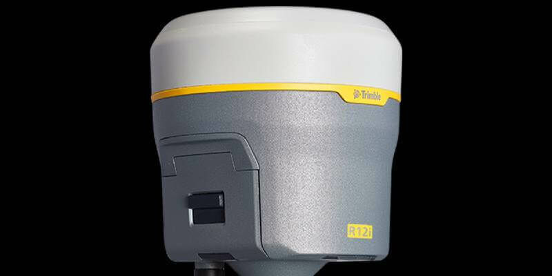
2nd September 2020
Trimble Announces The Next Evolution Of Its Flagship GNSS Solution
28th August 2020
How to Generate a 3D Model with Correlator3D

14th July 2020
John Kimmance appointed as new MD of Ordnance Survey National Mapping Services