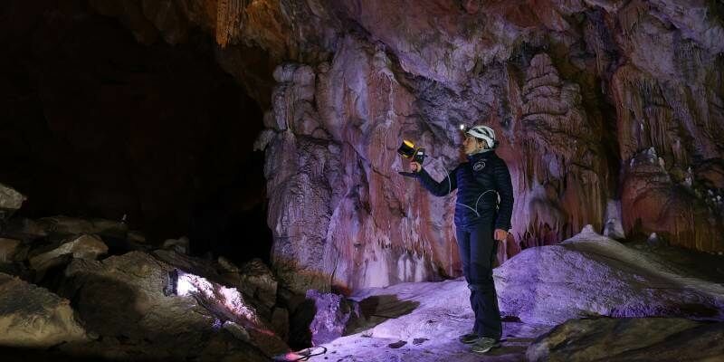
GeoSLAM Technology put to the test in Deep Time isolation experiment
12th May 2021
GeoSLAM Technology put to the test in Deep Time isolation experimentTerrestrial and airborne laser (LiDAR) scanners for the collection of 3D point cloud data; software for processing and visualising point clouds and creating 3D models, and use cases for laser scanning
This topic covers the science, the hardware, and the software used to capture, process and apply 3D point cloud data. As well as airborne and terrestrial (tripod-based, vehicle-mounted and handheld) laser (LiDAR) scanners, the topic includes the proprietary and Open Source software employed to process point clouds and create 3D models. It also covers the many and varied uses for 3D laser scanning: topographic mapping, bathymetric mapping, utility mapping, engineering surveying, agriculture, forestry, geology, architecture, industrial facilities, cultural heritage, asset management and construction, collision avoidance in autonomous and semi-autonomous vehicles, and environmental modelling
12th May 2021
GeoSLAM Technology put to the test in Deep Time isolation experiment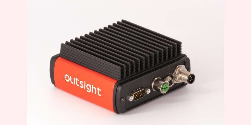
11th May 2021
Outsight Introduces The First Lidar Pre-Processing Software Engine
10th May 2021
Terra Drone Has Completed 1000+ LiDAR Survey Projects Globally in 2020
7th May 2021
Riegl Ricast: One Point Cloud At A Time- Extracting Value From Points
29th April 2021
Newcastle University Pioneers Hyper-Resolution Flood Risk Modelling using Bluesky 3D Aerial Survey Data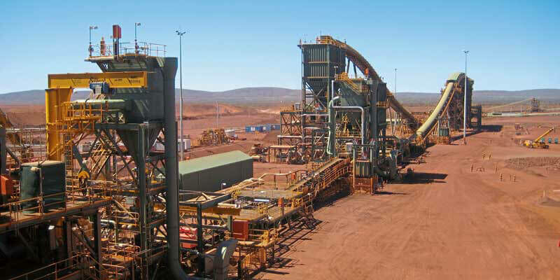
29th April 2021
BNP Paribas Fortis Private Equity, Capricorn Fusion China Fund et al. invest in solid state lidar company, XenomatiX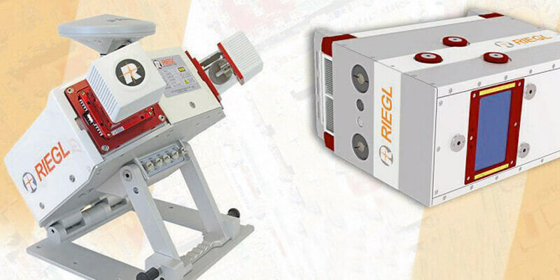
29th April 2021
Riegl Announces New Products In The ALS And MLS Sector28th April 2021
Contractor invests in the Verity enterprise software solution for construction verification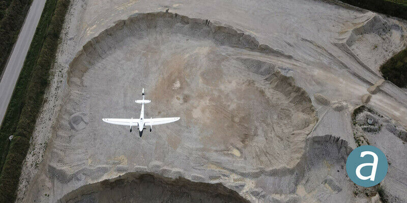
28th April 2021
Processing of Quantum-Systems Drone Data Integrated in SimActive Software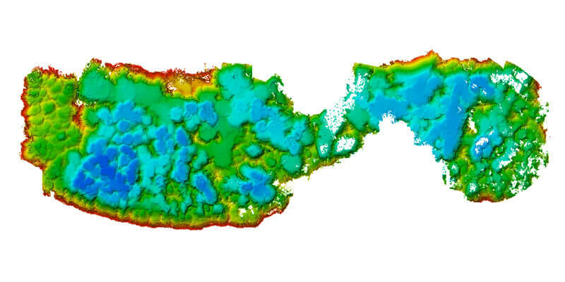
28th April 2021
M&E Deploys Advanced Survey System for Aggregate Mining28th April 2021
Terrain, the new software module by YellowScan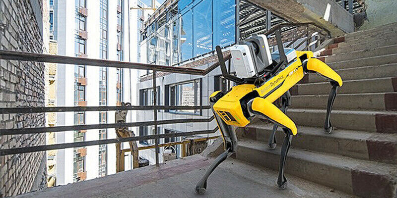
28th April 2021
Leica Geosystems Offers Mobile, Agile 3D Reality Capture Solution for Boston Dynamics Spot
26th April 2021
Riegl Ricast: Scan And Deliver – The New Vux-120
14th April 2021
Bluesky MetroVista Mesh Models Underpin Dynamic Map of London
12th April 2021
Recordings Are Now Available For The Riegl Ultimate Lidar March 2021 Webinars
9th April 2021
New Playlists for Spanish and Portuguese Videos on RIEGL Youtube
31st March 2021
GeoSLAM launches next generation data processing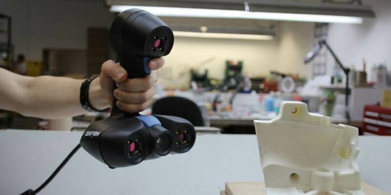
26th March 2021
Creaform Adds ACADEMIA 20 3D Scanner to its Educational Solution Suite
23rd March 2021
RIEGL Announces NEW Products in the ALS and MLS Sector
18th March 2021
Riegl’s Ultimate Lidar Webinar Series: March 2021
18th March 2021
Bluesky Addresses Urgent Need for 3D Mapping Data with Leica Sensor Investment
14th March 2021
Riegl Ricast: Increasing Productivity With Riegl’s Vz-400i Ultimate Lidar Scanner
11th March 2021
New Leica CityMapper-2L configuration enables digital twin creation of cities in complex weather and congested flight operation areas
9th March 2021
3D at Depth Launches Worldwide Offshore Geophysical Survey Services Business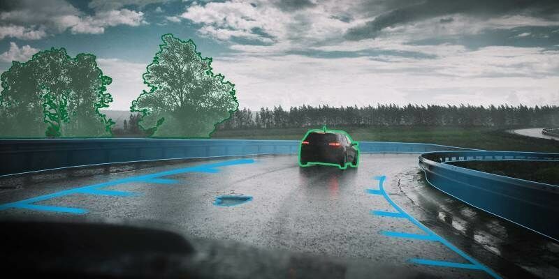
7th March 2021
BNP Paribas Fortis Private Equity, Capricorn Fusion China Fund et al. invest in solid state lidar company, XenomatiX
5th March 2021
Bluesky LiDAR Survey to Help National Trust Find the Lost Village of Wallington
4th March 2021
Recordings are Now Available for the RIEGL Ultimate LiDAR February Webinar Series
4th March 2021
Creaform Releases the HandySCAN 3D | SILVER Line-Up
2nd March 2021
SimActive Software Integrated in LiDAR Solution for Drones
2nd March 2021
Leica Geosystems introduces one app for all terrestrial laser scanning portfolio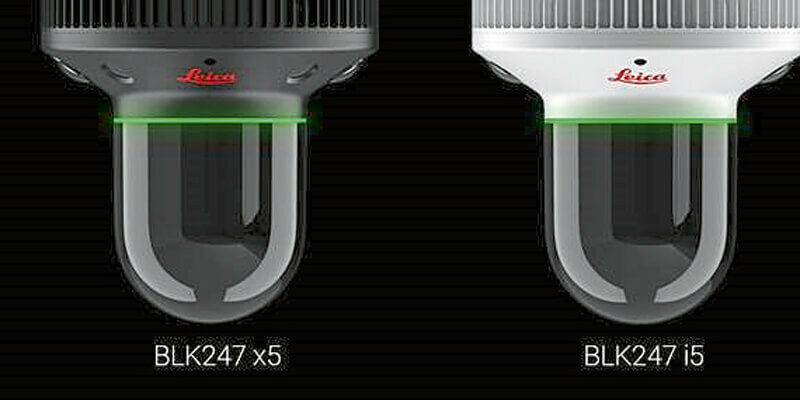
2nd March 2021
Leica BLK247 Smart 3D Surveillance System now available in two versions2nd March 2021
Ayres Acquires True View 620 3D Imaging System

1st March 2021
Newcastle University Pioneers Hyper-Resolution Flood Risk Modelling using Bluesky 3D Aerial Survey Data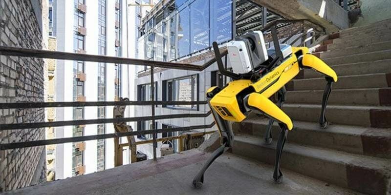
26th February 2021
Leica Geosystems Offers Mobile, Agile 3D Reality Capture Solution for Boston Dynamics Spot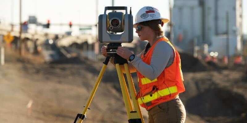
17th February 2021
New Trimble SX12 Scanning Total Station Adds Features and Applications for Versatile Everyday Surveying and Scanning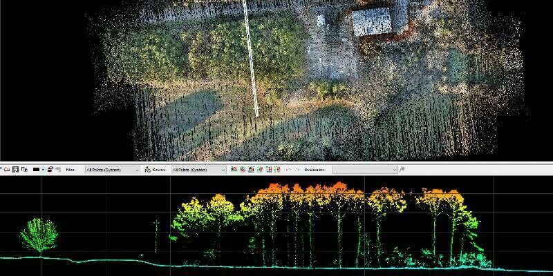
11th February 2021
GeoCue Group Releases New Addition to 3D Imaging Systems Series: True View 515
9th February 2021
Riegl’s Ultimate Lidar Webinar Series: February 2021
5th February 2021
Recordings are Now Available for the RIEGL Ultimate LiDAR January Webinar Series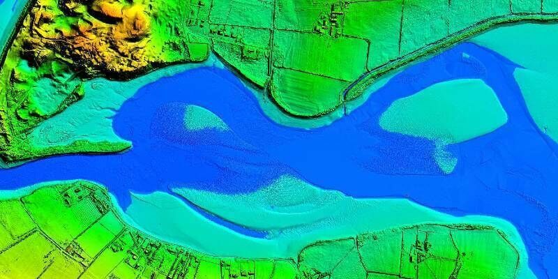
4th February 2021
Bluesky Takes to the Air to Create First Ever 3D Map of Northern Ireland’s Coastline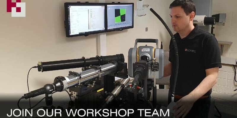
1st February 2021
Latest Job from KOREC GROUP - Service Technician
1st February 2021
Latest Job from KOREC GROUP - Senior Applications Engin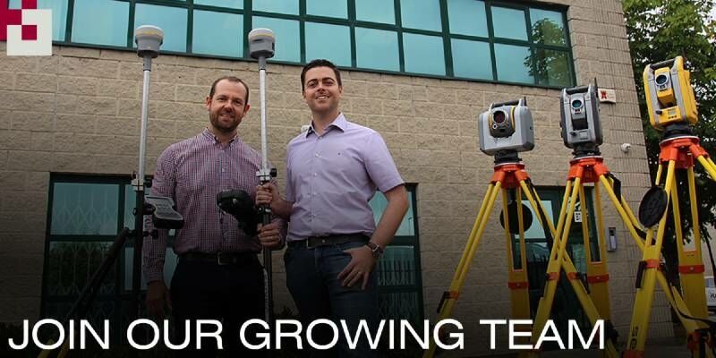
1st February 2021
Latest Job: Geospatial Sales Consultant Midlands
28th January 2021
LiveEO Performs Satellite-Based Vegetation Risk Analysis of Entire U.S. Electric Transmission Grid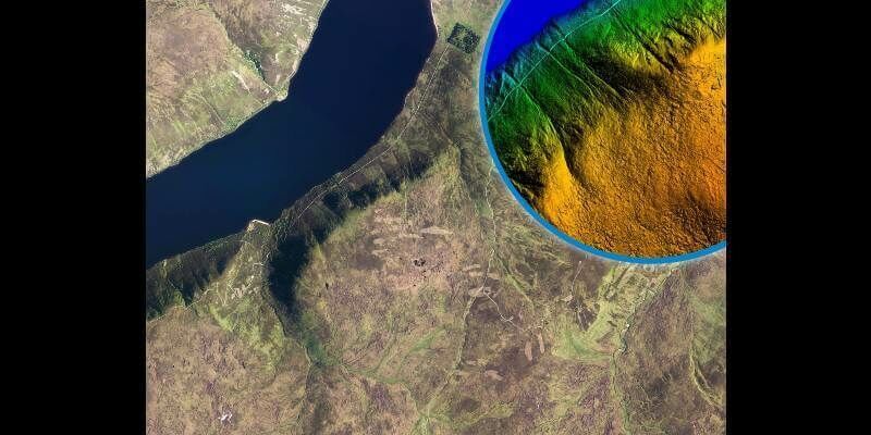
28th January 2021
Bluesky LiDAR Used to Visualise Land Restoration on Queen’s Balmoral Estate
24th January 2021
Easy-to-use, Intuitive Mining Apps for Autonomous Data Acquisition and Processing