KOREC and Survey Solutions Group announce new authorised distributorship with Propeller
9th March 2026
KOREC and Survey Solutions Group announce new authorised distributorship with Propeller
17-19
Nov
Shenzhen, China
2026 Offshore Energy & Equipment Global Conference 17-19 November 2026
9th March 2026
KOREC and Survey Solutions Group announce new authorised distributorship with Propeller
19th February 2026
Safe Software Launches FME Flow Availability in AWS Marketplace
3rd February 2026
New Platform from Veesus enhances Data Management, Sharing, and Collaboration
10th July 2025
VertiGIS Unveils Industry-Focused AI-Powered Cloud Solutions to Transform Spatial Asset Management and Drive Productivity

13th June 2025
Hexagon Digital Reality integrates NVIDIA Omniverse to enhance workflows in the cloud
26th May 2025
Alliance Homes adopts cloud GIS to enhance data and business insights
21st March 2025
Hexagon receives IDC SaaS Customer Satisfaction Award for EAM
20th March 2025
AISPECO and Teledyne Geospatial present an innovative airborne asset management solution
22nd January 2025
Preston City Council embraces cloud GIS to fulfil compliance and accessibility requirements
15th November 2024
Major updates to Cadcorp GIS software and cloud services in G-Cloud 14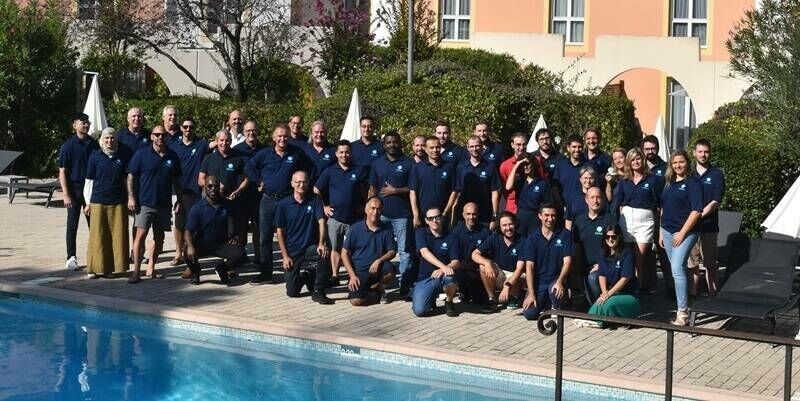
6th November 2024
Cintoo Secures €37 Million in Series B Funding Round Led by Partech
23rd October 2024
Pros and cons of migrating GIS to the cloud
18th September 2024
Burnley Council appoints Cadcorp for cloud GIS and software integration services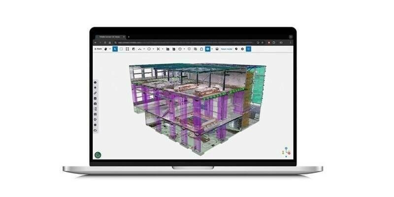
16th September 2024
New Reality Capture Platform Service Leverages Trimble Connect to Maximize the Value of Geospatial Data for Millions of Users
25th July 2024
Asteria Aerospace’s SkyDeck Platform Revolutionizes Drone Data Management with Cloud & AI
18th July 2024
Hexagon introduces HxGN SDx2: Transforming how industrial enterprises engineer, monitor and optimise global assets and operations
16th July 2024
Esri’s ArcGIS Enterprise on Kubernetes Integrated with IBM Maximo Is Now Available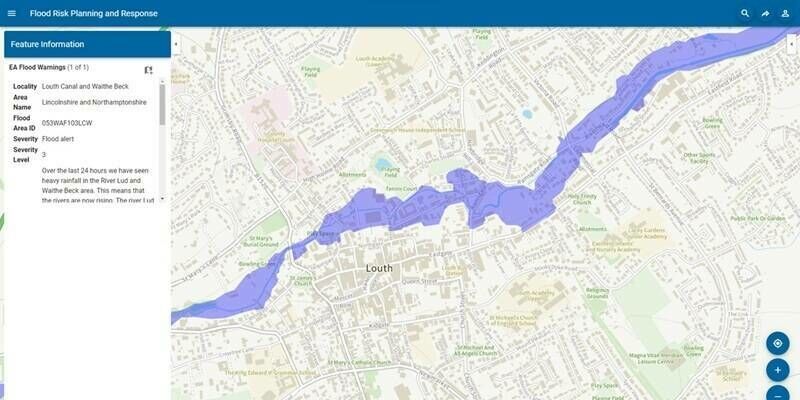
14th March 2024
Cadcorp cloud access to Environment Agency Real Time flood-monitoring
24th January 2024
SimActive Announces Enhanced Cloud Capabilities
19th January 2024
Live Workshop: Photogrammetry in the cloud: is it a good idea?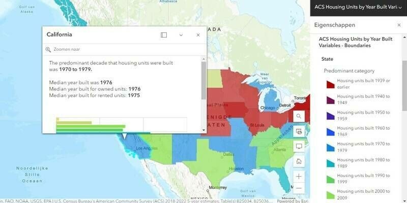
3rd January 2024
Esri Releases 2023 Update of Ready-to-Use US Census Bureau Data for ArcGIS Users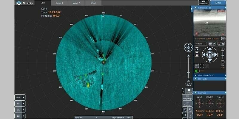
24th October 2023
Brazilian Oil Spill Detection to be fitted with cloud solution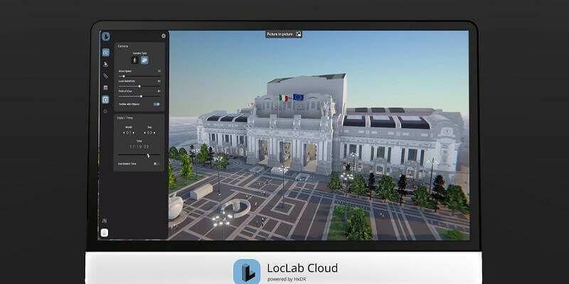
9th October 2023
LocLab makes digital twins more accessible with the launch of LocLab Cloud, powered by HxDR
6th October 2023
Hexagon to show latest digital reality innovations at INTERGEO 2023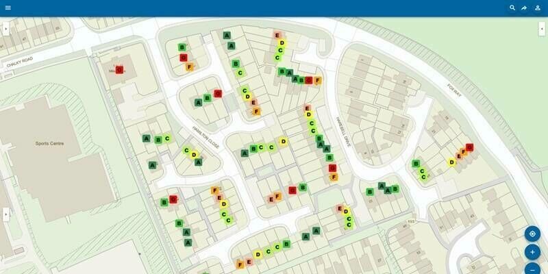

11th September 2023
Frequentis transforms West Yorkshire Fire & Rescue Service with cloud-based mobilization, communication, and incident solution
11th September 2023
Schneider Electric and ROK Technologies Partner to Help Utilities Migrate ArcFM and ArcGIS Systems to the Cloud
11th September 2023
Torus gains clear and compelling insights with Cloud GIS and web mapping
11th September 2023
Hexagon Releases Cloud Solution For Utilities And Telecoms Geospatial Asset Management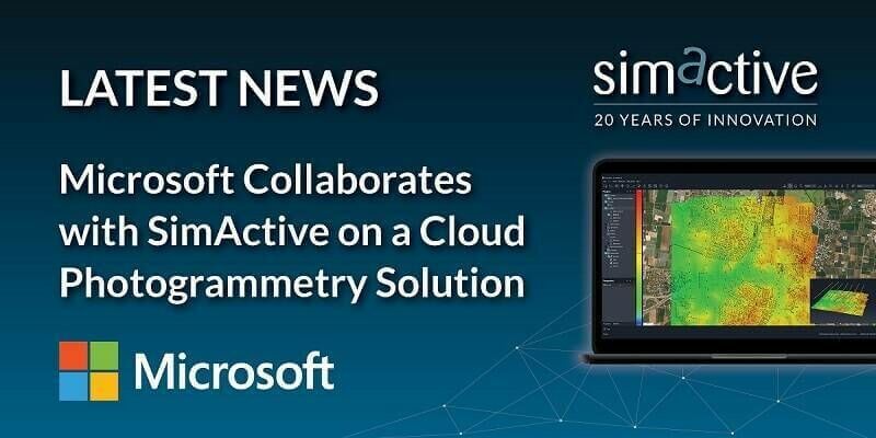
11th September 2023
Microsoft Collaborates with SimActive on a Cloud Photogrammetry Solution
11th September 2023
German Start-up Rasdaman GmbH and Airbus Defence and Space Team Up on Datacubes
22nd August 2023
Hexagon releases cloud solution for utilities and telecoms geospatial asset management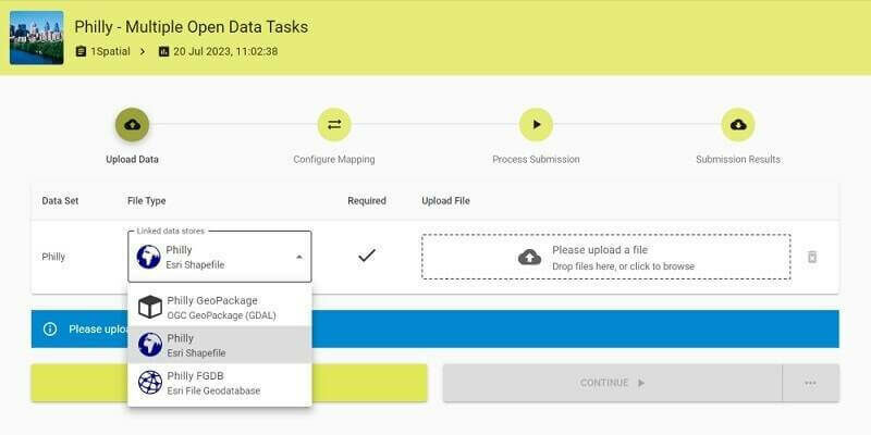
9th August 2023
Updated 1Spatial Platform provides Trusted Data Governance at any Scale
2nd August 2023
FREQUENTIS transforms West Yorkshire Fire & Rescue Service with cloud-based mobilisation, communication, and incident solution

25th July 2023
Torus gains clear and compelling insights with Cloud GIS and web mapping
6th July 2023
Esri Partners with Databricks to Bring Spatial Analytics Functionality to the Lakehouse Platform
14th June 2023
Hexagon launches Reality Cloud Studio to bring automated digital reality to the cloud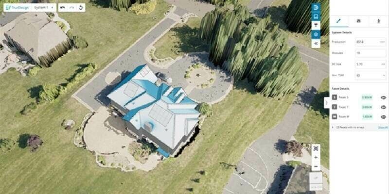
20th April 2023
EagleView Technologies Launches TrueDesign Version 2.0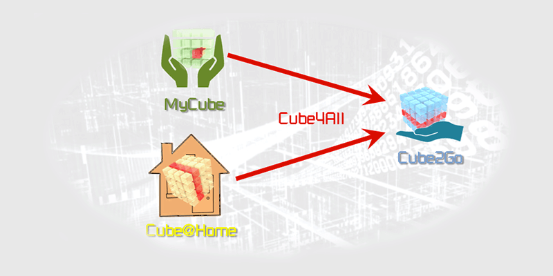
16th April 2023
EO at the Fingertips of Experts and Non-Experts
14th April 2023
England’s National Highways Extends Its Contract For Trimble’s AgileAssets Cloud Software For Bridge Asset Management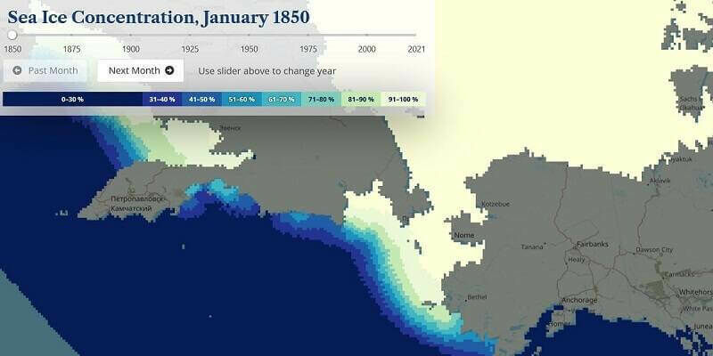
30th March 2023
Historical Arctic Sea Ice Atlas - 170 years in real-time
6th March 2023
England's National Highways Extends Its Contract For Trimble's AgileAssets Cloud Software For Bridge Asset Management

2nd March 2023
Spirent Joins the Microsoft Azure Operator Nexus Ready Program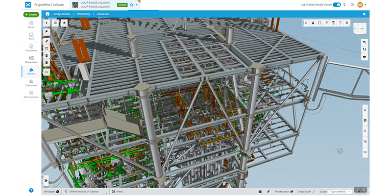
1st March 2023
Bentley Systems Announces Bentley Infrastructure Cloud, Powered by Itwin