
Overture Maps Foundation Reaches 50 Members as Industry Converges on Open Data to Ground AI
13th July 2026
Overture Maps Foundation Reaches 50 Members as Industry Converges on Open Data to Ground AIThe compilation, reproduction and dissemination of maps and charts by means of manual (analogue) or digital techniques, tools and workflows. This topic covers the compilation, reproduction, dissemination and use of both analogue (paper) and digital maps, charts and atlases. As well as the science of cartography, including georeferencing and geocoding, digital techniques for compiling and generating various types of raster and vector maps and charts are covered, as are the digital mapping tools and Geographic Information Systems available for this purpose. The application of cartography for aeronautical, terrestrial and marine purposes is also covered
13th July 2026
Overture Maps Foundation Reaches 50 Members as Industry Converges on Open Data to Ground AI
5th May 2026
How Ordnance Survey is bringing together leaders and innovators to explore how location can help tackle real-world challenges
18th February 2026
Geo Week 2026 Opens Today with Record-Breaking Exhibit Hall
14th January 2026
Open Maps For Europe 2 successfully delivers harmonised cross-border data as 18,000 users download 15,500 datasets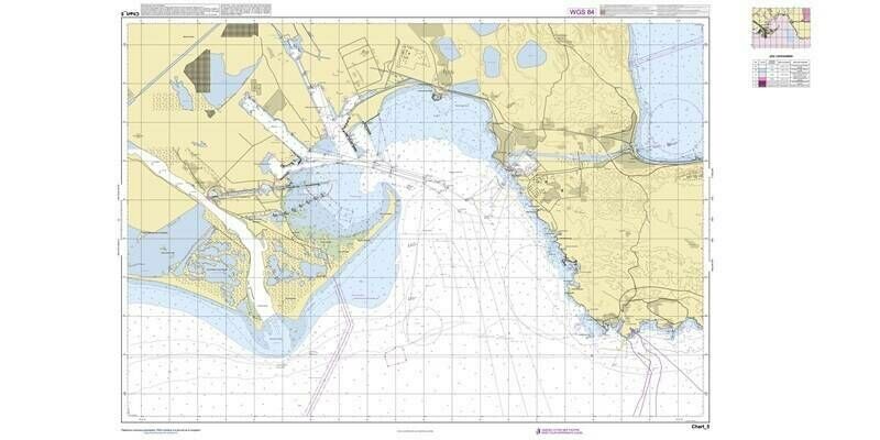
14th January 2026
Esri’s Custom Chart Builder Adopted by the Shom (French Hydrographic and Oceanographic Office) for Nautical Chart Production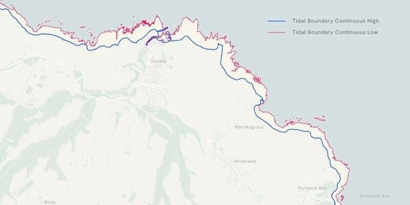
12th December 2025
New Tidelines data from Ordnance Survey could strengthen coastal erosion and flood risk monitoring
12th December 2025
Predictions 2026 - Manish Jethwa, CTO, Ordnance Survey
25th November 2025
OME2 unlocks pan-European high-value data and calls for EU commitment to long-term funding
12th November 2025
Collaboration between EuroGeographics and European Environment Agency increases number of official national geospatial datasets available via CORDA
17th September 2025
How two innovative startups are using Ordnance Survey data to help the emergency services save lives
6th August 2025
Esri, Microsoft, and Space42 Join to Launch “Map Africa Initiative”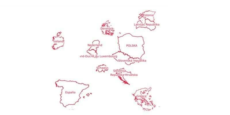
29th July 2025
OME2 adds five new countries to final release of Open Cadastral Map
23rd April 2025
Europa Technologies announces partnership with Twinn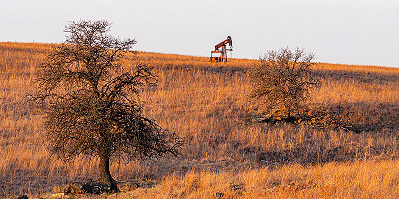
5th December 2024
AI helps researchers dig through old maps to find lost oil and gas wells
7th November 2024
Using UK location data to measure travel times and access to amenities
10th July 2024
Pan-European geospatial datasets from official national sources updated to meet user requirements
24th June 2024
Teledyne Geospatial introduces a new solution to automate nautical paper chart production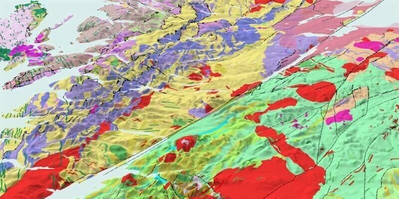
6th June 2024
Ordnance Survey expands into new territory with British Geological Survey
22nd April 2024
How OS expert mapmakers see the world differently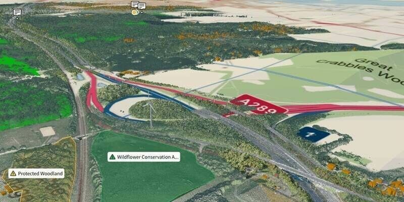
18th April 2024
Ordnance Survey And Sensat Collaboration Will Redefine Standards Of Data Visualisation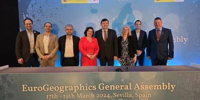
5th April 2024
Tomaž Petek elected President of EuroGeographics
3rd April 2024
Faroese Environment Agency joins EuroGeographics
11th September 2023
Nick Bolton to join Ordnance Survey as new Chief Executive
1st September 2023
EuroGeographics and International Cartographic Association agree collaboration to unlock power of location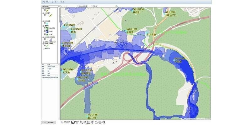
30th August 2023
Flood Hazard Web GIS in Japan Developed with TatukGIS SDK
28th July 2023
EuroGeographics and EUROGI agree on collaboration to promote use of geospatial data
28th July 2023
Intermap Announces New Contract for Agriculture Management in Southeast Asia
14th July 2023
Nick Bolton to join Ordnance Survey as new Chief Executive
14th April 2023
Ordnance Survey announces biggest digital transformation in over a decade
9th November 2022
Open Maps For Europe wins BeGeo Best Project Award

2nd November 2022
Parish Online maps a route to better mental health with Walk N Talk2nd November 2022
EuroGeographics welcomes strengthened UN-GGIM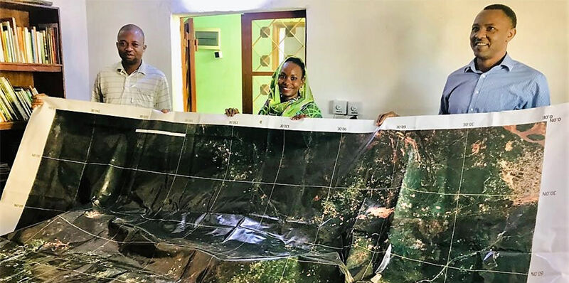
31st August 2022
Space tech meets barefoot mappers in Chad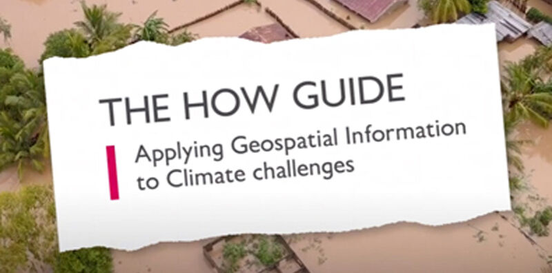
13th June 2022
New ‘How’ guide demonstrates how geospatial can be applied to climate challenges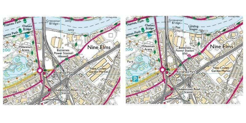
10th May 2022
Europa Technologies looks back with viaEuropa “Time Machine”


4th June 2021
Nigel Clifford elected as President of the Royal Geographical Society (with IBG)
29th April 2021
Automated harmony or destined for discord?

31st August 2020
23rd ICA Workshop on Map Generalisation and Multiple Representation

26th August 2020
John Kimmance appointed as new MD of Ordnance Survey National Mapping Services
27th July 2020
MicroSurvey - FieldGenius for Android New Project
14th July 2020
John Kimmance appointed as new MD of Ordnance Survey National Mapping Services