Eos Positioning Systems Introduces New Skadi Handle Range Pole Bracket
8th July 2026
Eos Positioning Systems Introduces New Skadi Handle Range Pole Bracket
8th July 2026
Eos Positioning Systems Introduces New Skadi Handle Range Pole Bracket
15-17
Sep
Trade Fair Centre Messe, Munich
INTERGEO 2026, September 15-17, Munich
24th April 2026
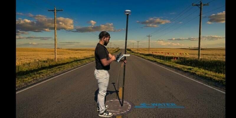
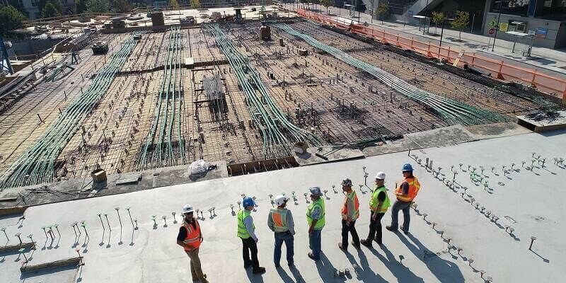
Rebuilding a national artery: Behind the technology powering Ghana’s Eastern Corridor upgrade
01-03
Sep
Caesar’s Forum Las Vegas USA
Commercial UAV EXPO 1-3 September 2026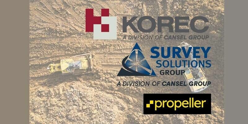
9th March 2026
KOREC and Survey Solutions Group announce new authorised distributorship with Propeller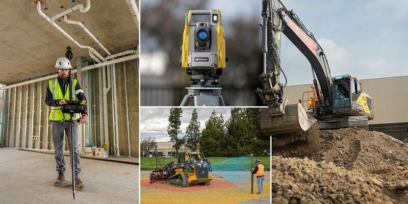
4th March 2026
Topcon unveils new machine control, safety, and geomatics innovations at CONEXPO 2026
24th November 2025
Topcon’s next-generation solutions for construction, reality capture, and GNSS positioning
19th November 2025
There’s gold beneath our feet - it’s time to unearth it
2nd October 2025
Introducing the Leica TS20 robotic total station with edge AI: Elevating everyday productivity even in the toughest conditions
20th August 2025
JAVAD GNSS and Inertial Labs Announce Strategic Integration of GNSS and IMU-P Technology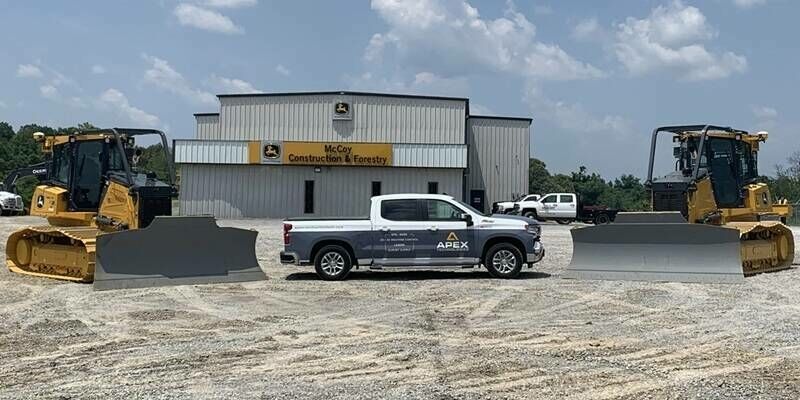
4th August 2025
APEX Technologies, a Division of McCoy Construction & Forestry, Named Newest Trimble Technology Outlet
8th May 2025
Ordnance Survey Chooses KOREC and Trimble R980 in Nationwide GNSS Upgrade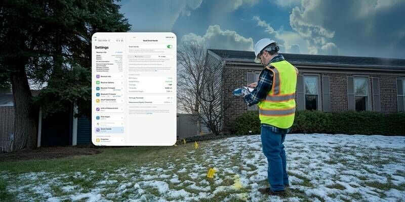
20th February 2025
Eos Positioning Systems Announces Complete Redesign of Eos Tools Pro App on iOS
19th November 2024
Plowman Craven launches Australian operations with new Sydney office
4th November 2024
Trimble Opens Technology Lab at Florida A&M University, Marking New HBCU Collaboration
27th September 2024
Intergeo 2024 Is The International Top Event Of The Geo Industry
24th September 2024
INTERGEO 2024 in Stuttgart KICKS OFF: AI und Innovations, Experts und forward-looking topics
24th September 2024
Leica Geosystems launches lightweight GS05 GNSS Smart Antenna with tilt compensation for all-day surveying
23rd July 2024
The Antenna Company Appoints Rick Stuby as Vice-President of Product Management and Marketing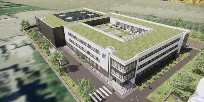
29th April 2024
Topcon announces plans for new state-of-the-art manufacturing facility in Germany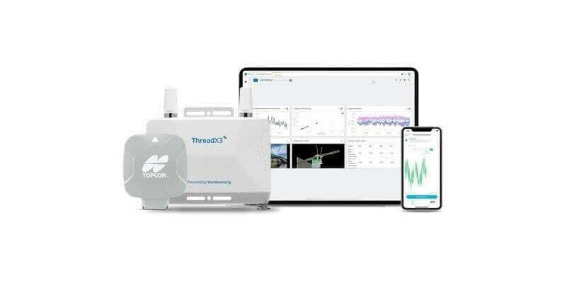
15th April 2024
Strategic agreements integrate Topcon technology into solutions from Bentley Systems and Worldsensing
27th March 2024
Geneq Unveils the SXblue GLOBE: a Revolutionizing Solution for GIS and Survey field Applications
7th March 2024
How to Improve Surveying Efficiency by Using Robots and Precision Positioning
12th January 2024
KOREC Appoints John Cartledge as Mapping and GIS Business Manager4th December 2023
Topcon Positioning Systems announces new global sustainability initiatives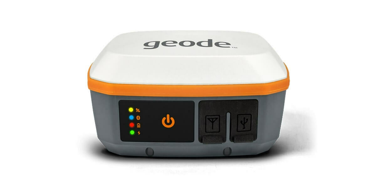
15th November 2023
The Geode GNSS Receiver by Juniper Systems is Now Available with RTK
13th October 2023
INTERGEO confirms its position for the geospatial industry
10th October 2023
Topcon to showcase latest technologies for geospatial industry at Intergeo
22nd September 2023
New Trimble GNSS Receiver with Trimble ProPoint Delivers Survey Precision and Productivity in the Field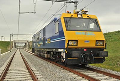
17th September 2023
All Aboard! Keeping Belgium moving with Topcon technology

17th August 2023
Mesa Pro is the World's First IP68-rated Rugged Tablet with Active Cooling

28th July 2023
Streamlining a nuclear power plant construction project


28th July 2023
Trimble Dimensions to Kick Off with a High-Performance Keynote Speaker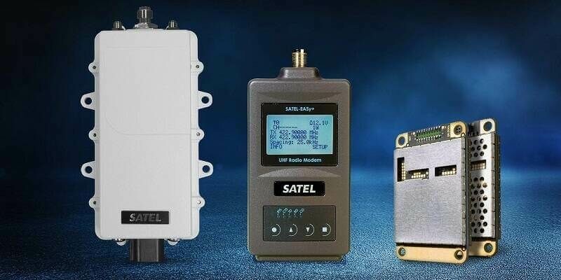
22nd June 2023
Topcon acquires Finnish industrial radio solutions manufacturer Satel
13th June 2023
KOREC expands UK Trimble footprint with new SEP Geospatial reseller agreement

4th June 2023
China monitors mountain glacier health with remote sensing
18th May 2023
Million-dollar seismic technology deal for Nigeria O&G onshore exploration
17th May 2023
Juniper Systems Celebrates Its 30th Anniversary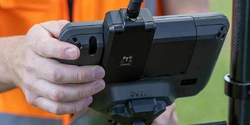

2nd May 2023
Trimble and FHNW establish Trimble Technology Lab in Switzerland