
Reaching New Depths: New RIEGL Laser Scanning Solutions for Bathymetric Data Acquisition
23rd February 2024
Reaching New Depths: New RIEGL Laser Scanning Solutions for Bathymetric Data AcquisitionTerrestrial and airborne laser (LiDAR) scanners for the collection of 3D point cloud data; software for processing and visualising point clouds and creating 3D models, and use cases for laser scanning
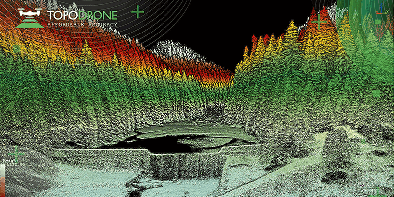
This topic covers the science, the hardware, and the software used to capture, process and apply 3D point cloud data. As well as airborne and terrestrial (tripod-based, vehicle-mounted and handheld) laser (LiDAR) scanners, the topic includes the proprietary and Open Source software employed to process point clouds and create 3D models. It also covers the many and varied uses for 3D laser scanning: topographic mapping, bathymetric mapping, utility mapping, engineering surveying, agriculture, forestry, geology, architecture, industrial facilities, cultural heritage, asset management and construction, collision avoidance in autonomous and semi-autonomous vehicles, and environmental modelling
23rd February 2024
Reaching New Depths: New RIEGL Laser Scanning Solutions for Bathymetric Data Acquisition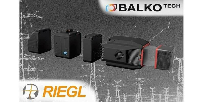
12th February 2024
Balko & RIEGL Announce OEM Partnership for UAS LiDAR in Canada

6th February 2024
RIEGL Exhibiting Once Again at Geo Week 2024 in the Mile High City
2nd February 2024
High-tech aerial mapping reveals England’s hedgerow landscape
30th January 2024
ClearSkies Geomatics Adds New RIEGL VQ-1560 II-S to Support 2024 Expansion Plans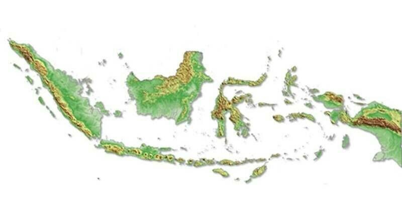
25th January 2024
Intermap Wins Major Indonesian Mapping Contract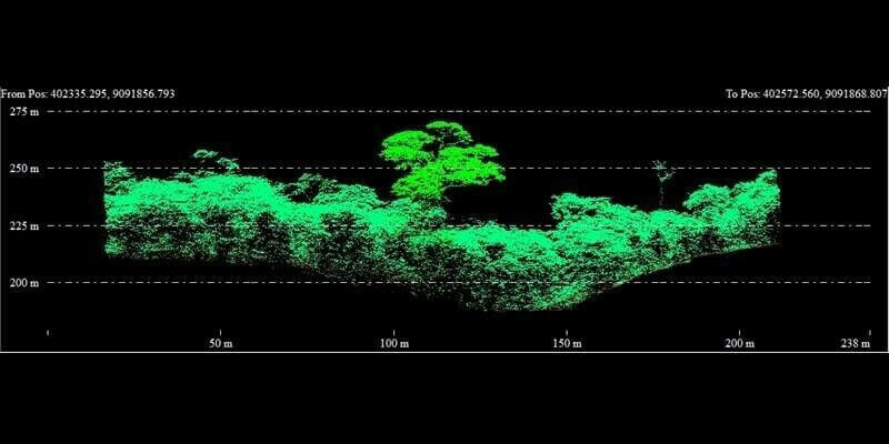
18th January 2024
Fototerra expands its fleet of airborne lidar mappers with an additional Optech Galaxy system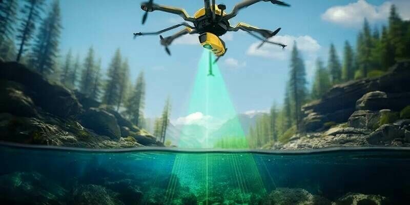
17th January 2024
Introducing the YellowScan Navigator: a groundbreaking bathymetric LiDAR System dedicated to coastal and river mapping from drones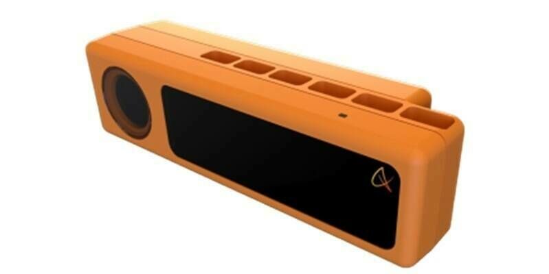
10th January 2024
Outsight partners with PreAct Technologies to revolutionize smart infrastructure and people flow monitoring
8th January 2024
RIEGL USA Will Be Attending CES and the GeoBuiz Summit
22nd December 2023
Innovusion Becomes Seyond: "See smarter" as a clear vision for the future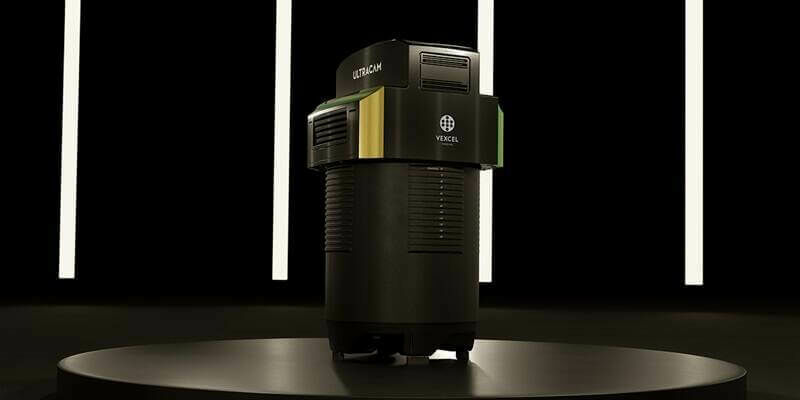
5th December 2023
Vexcel Imaging announces the new UltraCam Dragon 4.1, a game-changing hybrid oblique imaging and LiDAR system
30th November 2023
New RIEGL Laser Scanning Solutions for UAV-based Data Acquisition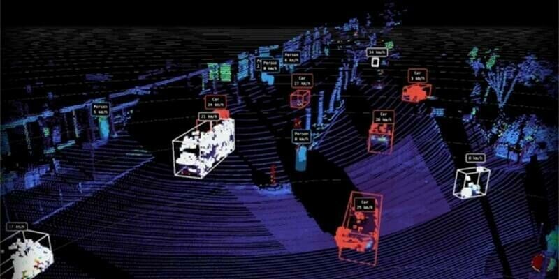
29th November 2023
New Partnership Agreement Between Outsight And Innovusion To Accelerate Lidar Technology’s Adoption In The ITS Market
20th November 2023
4DAGE Unveils Its New Laser Scanner With Unique Dual Acquisition Mode Of Terrestrial Laser Scanner And SLAM
8th November 2023
Kinematic Data Acquisition from Different Moving Platforms: Watch the RIEGL VZ-i Series Video
26th October 2023
Creaform Launches the New Truly Portable Metrology-Grade 3D Scanner for Large Parts HandySCAN 3D|MAX Series
20th October 2023
Geo Week Seeking Nominations for the 2024 Awards Celebration
19th October 2023
Murphy Geospatial Launches Geodrive: A New Mobile Mapping Solution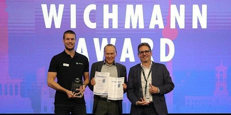
17th October 2023
Hexagon’s Geosystems division receives Wichmann Innovations Awards in both software and hardware category
17th October 2023
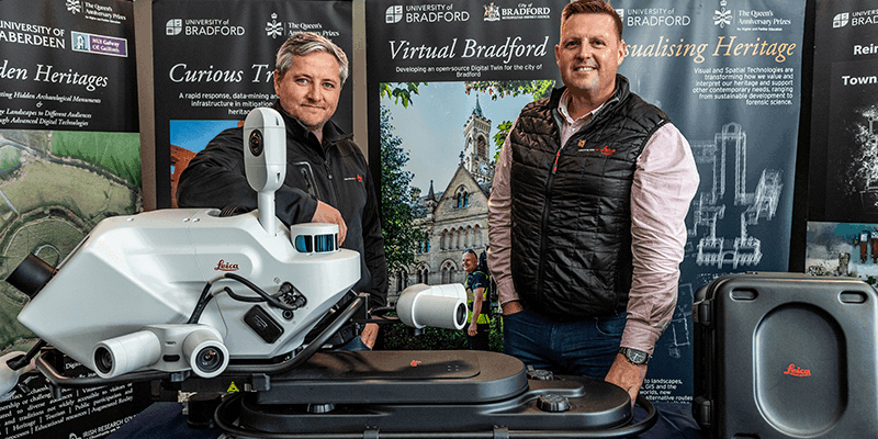
Innovative reality capture technology brings 17th-century Citadelle de Besançon, France, to life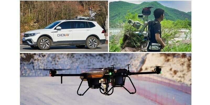
16th October 2023
CHC Navigation Introduces the AlphaUni 20 LiDAR System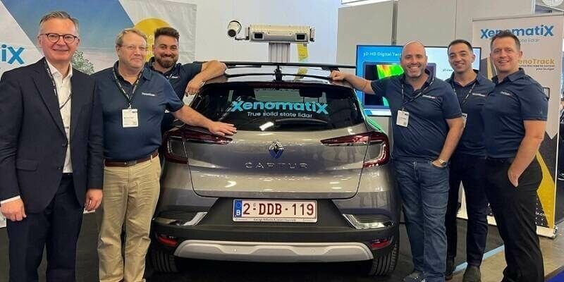
16th October 2023
StreetScan and XenomatiX Collaborate to Advance Road Inspection
12th October 2023
RIEGL VZ-600i: High Speed Laser Scanning for Professionals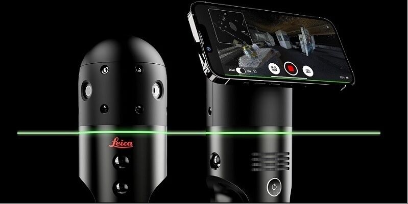
10th October 2023
Leica Geosystems brings Leica BLK2GO PULSE to market for intuitive mobile laser scanning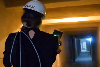
9th October 2023
Portable LiDAR scanner helps reveal undiscovered rooms in Sahura’s Pyramid
2nd October 2023
Intergeo Innovations Award 2023: Vote For The Ultimate Terrestrial Laser Scanner, Riegl VZ-600i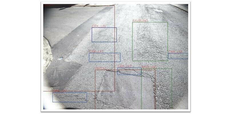
12th September 2023
XenomatiX extends its road scanning capabilities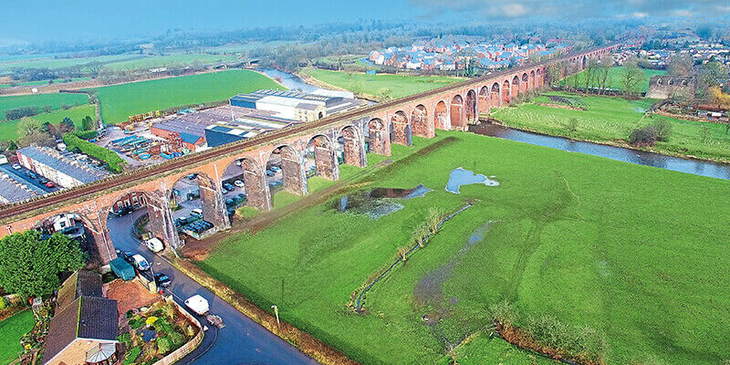
11th September 2023
‘First-of-its-kind’ mobile 3D mapping system will scan 2 million data points a second
11th September 2023
Tetra Tech Expands Their RIEGL Mobile LiDAR Fleet
11th September 2023
FARO Technologies Appoints Peter Lau as President and Chief Executive Officer
11th September 2023
GeoCue Unveils Three New, High-End, Trueview 3D Imaging Systems
11th September 2023
Demonstrations Of The Riegl VZ-600i in Taipei and Hong Kong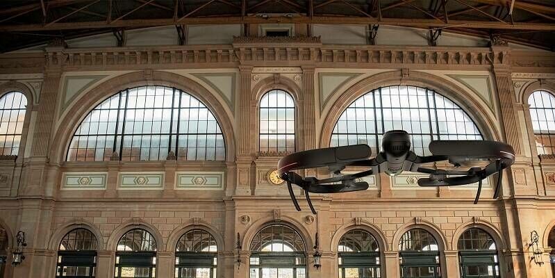
4th September 2023
Hexagon reaches new heights with launch of BLK2FLY Autonomous Indoor Scanning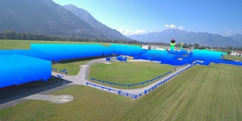
4th September 2023
LAKE FUSION Technologies and Innovusion Europe Partner for the Launch of a Cutting-Edge Situational Awareness System for Civilian Helicopters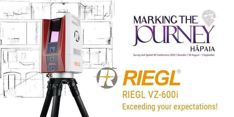
29th August 2023
RIEGL Australia Appoints Synergy Positioning Systems as a Terrestrial LiDAR Distributor in New Zealand
28th August 2023
A Remarkable Duo: The RIEGL VUX-120-23 Laser Scanner Meets the VTOL CarryAir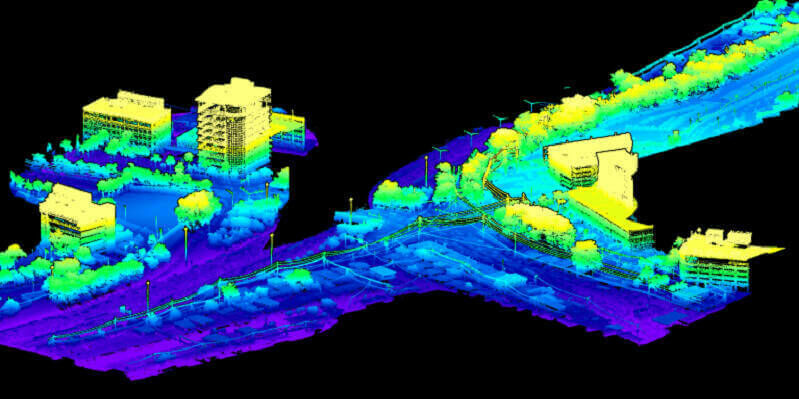
18th August 2023
SurvTech Solutions Completes Their Geospatial Portfolio with RIEGL VPX-1 Helicopter Pod
8th August 2023
Roman road network spanning the south west UK identified in new research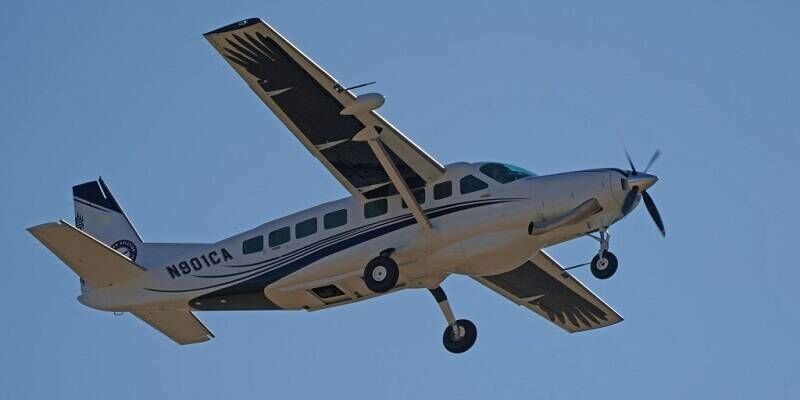
2nd August 2023
The Yurok Tribe and Condor Aviation Soaring to New Heights with RIEGL
28th July 2023
Streamlining a nuclear power plant construction project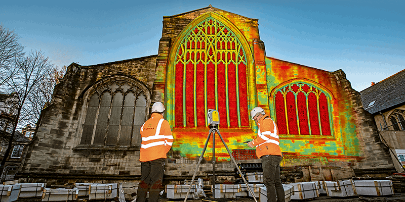


28th July 2023
Leica Geosystems introduces the next evolution in smart, autonomous mobile mapping
28th July 2023
Topodrone to unveil a new lightweight 360° LiDAR model range