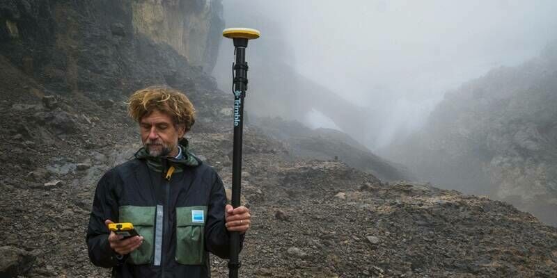
Trimble Technology Enables First Centimeter-Accurate 3D Model of Disappearing Puncak Jaya Glaciers
12th May 2026
Trimble Technology Enables First Centimeter-Accurate 3D Model of Disappearing Puncak Jaya Glaciers
29-30
Sep
12th May 2026
Trimble Technology Enables First Centimeter-Accurate 3D Model of Disappearing Puncak Jaya Glaciers

14th April 2026
SimActive Releases Correlator3D Version 11 with Gaussian Splatting

11th March 2026
Mapping Critical Infrastructure: How Do You Ensure Accuracy?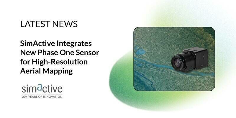
20th February 2026
SimActive Integrates New Phase One Sensor for High-Resolution Aerial Mapping
10th February 2026
Real-Time Terrain Following vs. High-Resolution DEM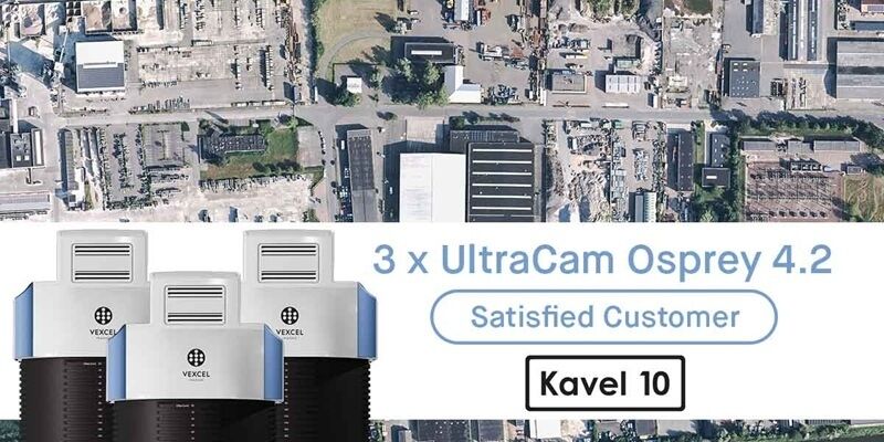
23rd January 2026
Kavel 10 invests in three UltraCam Osprey 4.2 systems
9th January 2026
Scaling Photogrammetry in the Cloud With Distributed Processing: Is It the Future?
8th October 2025
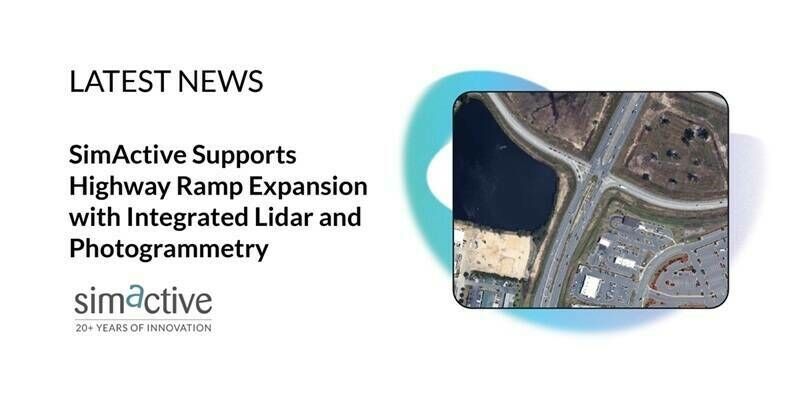
SimActive Supports Highway Ramp Expansion with Integrated Lidar and Photogrammetry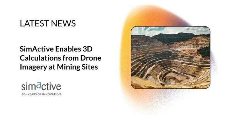
9th September 2025
SimActive Enables 3D Calculations from Drone Imagery at Mining Sites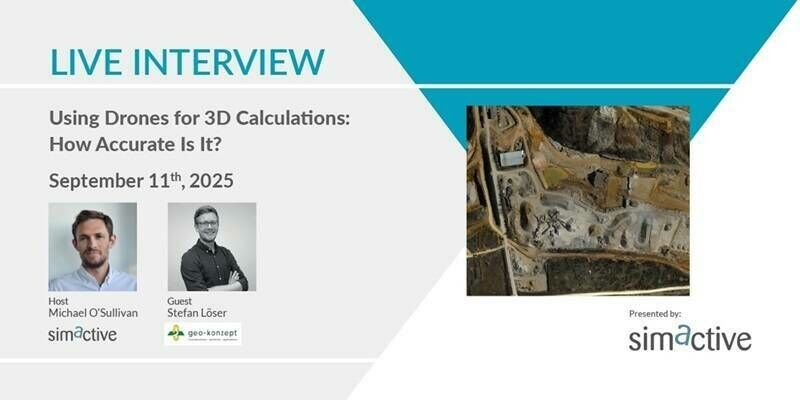
3rd September 2025
Using Drones for 3D Calculations: How Accurate Is It?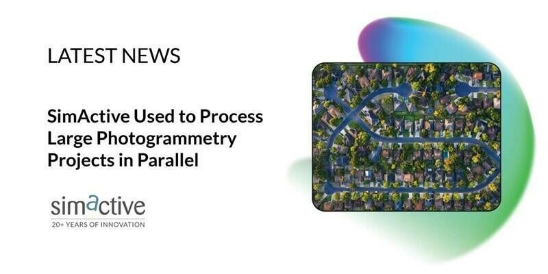
13th August 2025
SimActive Used to Process Large Photogrammetry Projects in Parallel
6th August 2025
Managing Large Photogrammetry Projects Simultaneously: Can It Be Done?
21st July 2025
Spexi Expands Orthomosaic Coverage with 1M+ Acre Initiative
8th July 2025
SimActive Software Used to Quickly Process Large Datasets
4th June 2025
Live Interview: Does Better Positioning Really Improve Mapping Accuracy
13th May 2025
SimActive Used for the Fusion of Lidar and Photogrammetry
18th March 2025
SimActive Used for Corridor Mapping Along Coasts
18th February 2025
SimActive Used to Map Large Oil & Gas Operation
17th February 2025
Topcon and Pix4D collaborate to advance photogrammetry solutions
14th February 2025
Do Larger Format Sensors Increase Mapping Productivity?
21st January 2025
SimActive Releases Correlator3D Version 10.3 Optimized for Large Projects
7th November 2024
Vegetation Assessment Along Waterbodies Completed with SimActive

9th October 2024
SimActive Used for Mapping Construction Projects
30th September 2024
Can RTK/PPK Really Remove the Need for GCPs?
10th September 2024
SimActive Used for Mapping in New Zealand
13th August 2024
SimActive Releases Correlator3D Version 10.2 With Enhanced Editing Tools
30th July 2024
Spending Less Editing Time with Correlator3D Version 10.2
13th June 2024
Vexcel Open Day India: Mapping Continents & Cities in 3D with Photogrammetry and LiDAR
5th June 2024
Fixed-Wing Drones: Are They Better Than Multi-Rotor?
3rd May 2024
Mapping Hilly Terrains With Drones: Is It Possible?

19th April 2024
Virtual Surveyor Adds Planimetric Survey Functionality to Latest Release of Smart Drone Surveying Software
16th April 2024
SimActive Integrated with Multi-Camera Systems for Precision Photogrammetry
19th March 2024
SimActive Used to Control Accuracy Through Different Types of GCPs
14th March 2024
GCPs for Photogrammetry: How Many Do You Need?
20th February 2024
SimActive Used for 3D Mapping from Oblique Cameras
26th January 2024
Teledyne to showcase new scientific imaging and machine vision solutions at SPIE’s Photonics West exhibition
24th January 2024
SimActive Announces Enhanced Cloud Capabilities
19th January 2024
Live Workshop: Photogrammetry in the cloud: is it a good idea?
4th January 2024
NV5 Geospatial’s Thermal Infrared Solutions Gain Traction for U.S. Infrastructure Challenges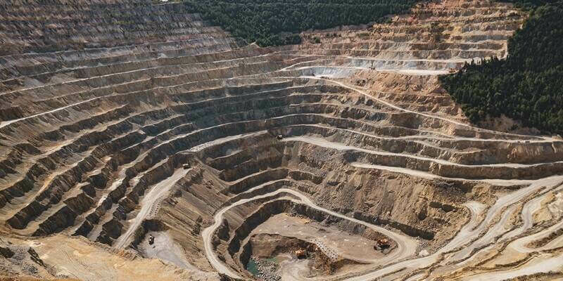
3rd January 2024
SPH & Pix4D reinvent spatial data management for enterprises
5th December 2023
Live Interview: Photogrammetry Trends for 2024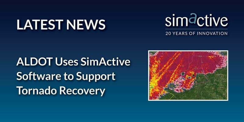
14th November 2023
ALDOT Uses SimActive Software to Support Tornado Recovery