
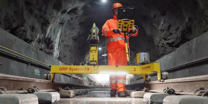
FARO CREAFORM Strengthens HandySCAN 3D Portfolio with Next-Generation MAX Series and New EVO Series Models
13th July 2026
FARO CREAFORM Strengthens HandySCAN 3D Portfolio with Next-Generation MAX Series and New EVO Series ModelsTerrestrial and airborne laser (LiDAR) scanners for the collection of 3D point cloud data; software for processing and visualising point clouds and creating 3D models, and use cases for laser scanning
This topic covers the science, the hardware, and the software used to capture, process and apply 3D point cloud data. As well as airborne and terrestrial (tripod-based, vehicle-mounted and handheld) laser (LiDAR) scanners, the topic includes the proprietary and Open Source software employed to process point clouds and create 3D models. It also covers the many and varied uses for 3D laser scanning: topographic mapping, bathymetric mapping, utility mapping, engineering surveying, agriculture, forestry, geology, architecture, industrial facilities, cultural heritage, asset management and construction, collision avoidance in autonomous and semi-autonomous vehicles, and environmental modelling
13th July 2026
FARO CREAFORM Strengthens HandySCAN 3D Portfolio with Next-Generation MAX Series and New EVO Series Models
29-30
Sep
10th June 2026
Topcon brings latest innovations to GEO Business in London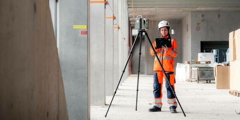
10th June 2026
Leica Geosystems’ new Leica RTC series sets the new benchmark in scanning accuracy and productivity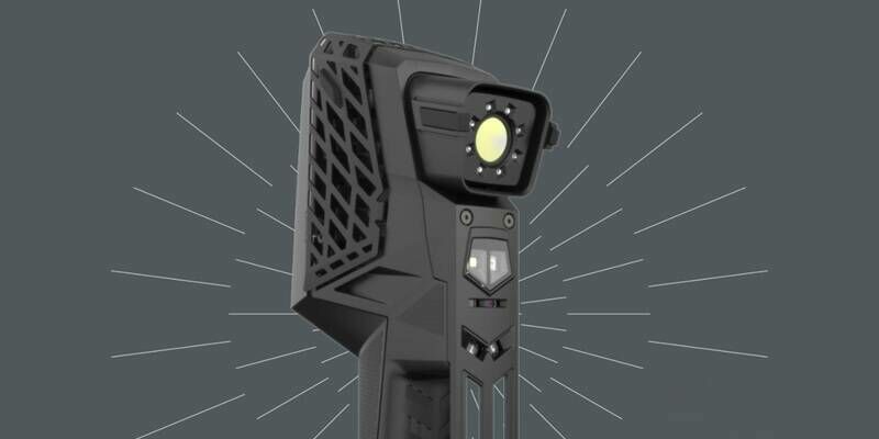
13th May 2026
FARO CREAFORM’s HandySCAN 3D EVO Series Wins Red Dot Award for Product Design
6th May 2026
How 'digital twins' could help predict the fate of a forest
15-17
Sep
Trade Fair Centre Messe, Munich
INTERGEO 2026, September 15-17, Munich
16th April 2026
Hexagon's Green Cubes digital twin technology contributes to mining reclamation efforts across South America with Vale
9th April 2026
Major LiDAR Survey Completed at Elland Road Stadium to Support Redevelopment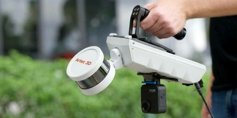
6th April 2026
Artec 3D launches Artec Jet: a survey-grade mobile LiDAR scanner with SLAM for fast, autonomous, site-scale 3D mapping
17th March 2026
Bordeaux Airport, in partnership with Outsight, launches a Physical AI experiment to anticipate and reduce passenger waiting times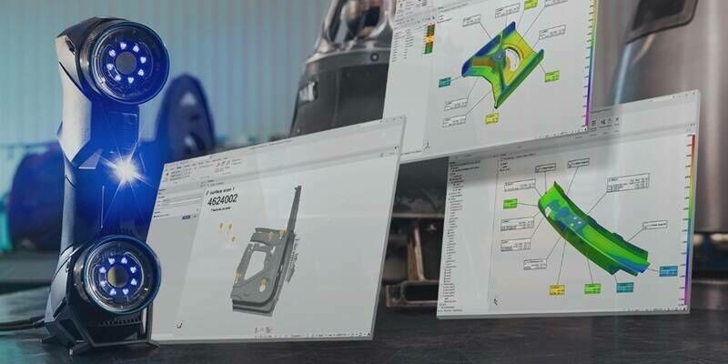
6th March 2026
FARO CREAFORM and InnovMetric Strengthen Partnership with New and Complete Integration of FARO CREAFORM 3D Scanner Data Acquisition into PolyWorks|Inspector
3rd March 2026
Siemens Wins XenomatiX Free Lidar Contest, Expanding Collaboration on Autonomous and Smart Mobility Projects
26th February 2026
RIEGL UK Hosting the Heritage Geospatial Symposium in York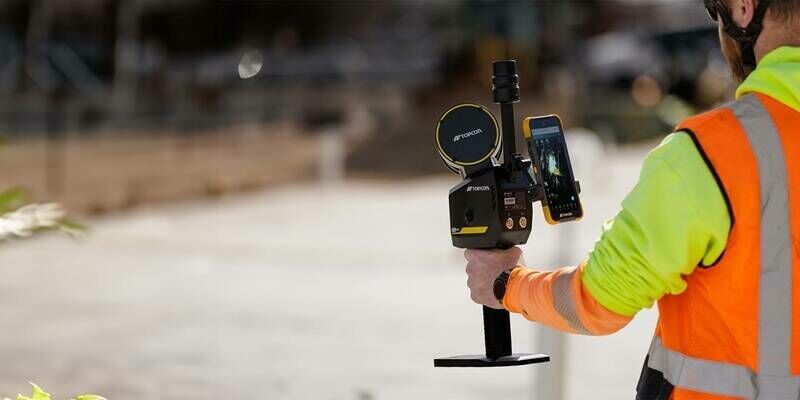
22nd February 2026
Topcon expands Capture Reality portfolio with introduction of new handheld scanning system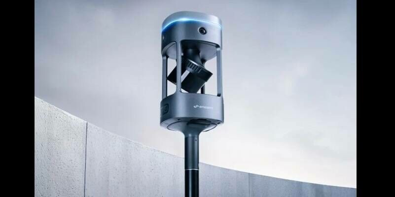
22nd February 2026
Emesent Launches the Emesent GX1, an All-in-One SLAM LiDAR, RTK and 360° Imagery Scanner
18th February 2026
Geo Week 2026 Opens Today with Record-Breaking Exhibit Hall
10th February 2026
Aerial Surveys International Teams with Polygon Solutions, Urban Hawk at Geo Week 2026 to Unveil TrinityGeo Geospatial Intelligence Product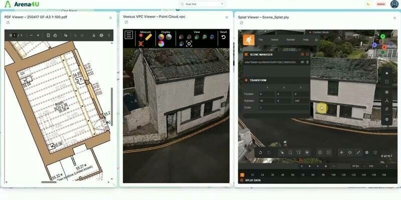
3rd February 2026
New Platform from Veesus enhances Data Management, Sharing, and Collaboration
28th January 2026
Terra Drone partners with Pythagoras to launch “Terra 3D CAD”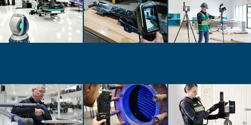
26th January 2026
A New Era Unfolds: FARO and Creaform Combine to Form Two New Business Units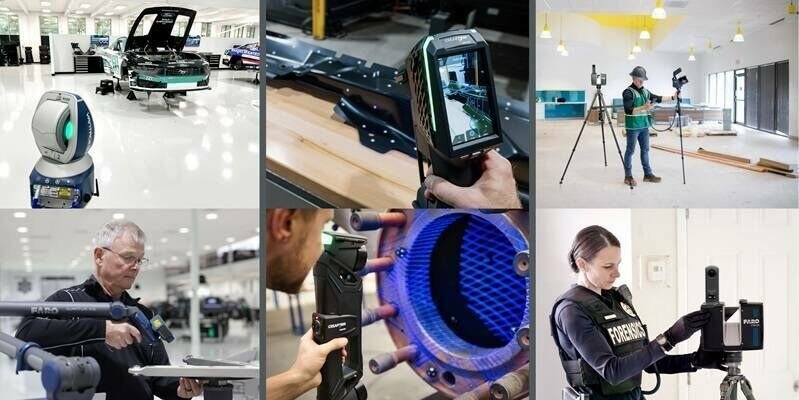
14th January 2026
A New Era Unfolds: FARO and Creaform Combine to Form Two New Business Units
27th November 2025
Street-Level Imagery as a Tool for Mitigating Climate Change
24th November 2025
Topcon’s next-generation solutions for construction, reality capture, and GNSS positioning
21st November 2025
UP42 Announces Partnership with NV5, Adding LiDAR Data to their Ecosystem
14th November 2025
KOREC signs reseller agreement with Terrasolid
30th October 2025
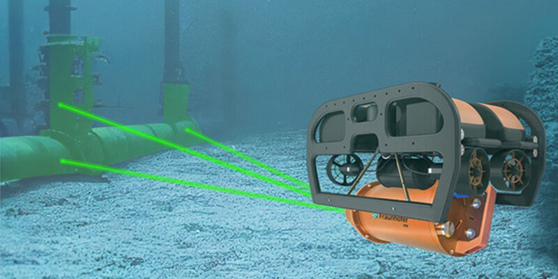
Researchers test underwater measuring systems in Indonesian waters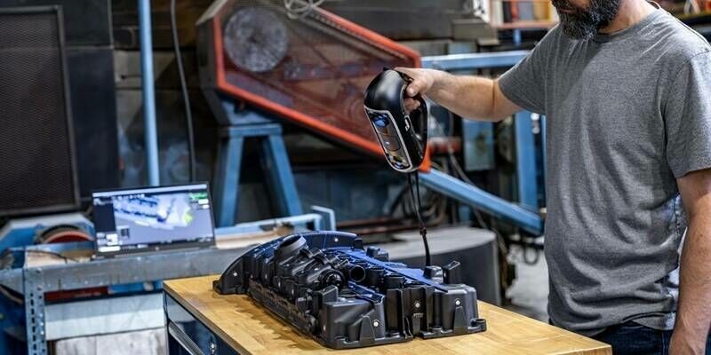
28th October 2025
Creaform Announces the Addition of the HandySCAN 3D|PRO Series to its Flagship Handheld 3D Scanner Product Line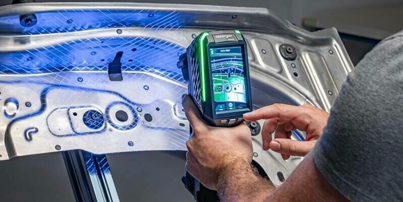
22nd October 2025
20 Years After Creating the Metrology-Grade Handheld 3D Laser Scanner Category, Creaform Redefines Industry Standards with the Debut of the HandySCAN 3D|EVO Series
20th October 2025
Advisory Board Announced for Geo Week 2026
9th October 2025
Innovation in Every Pulse: RIEGL’s New LiDAR Technologies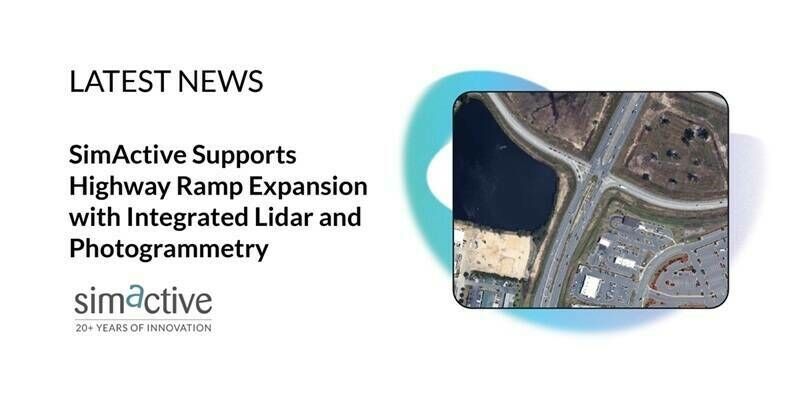
8th October 2025
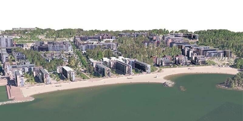
SimActive Supports Highway Ramp Expansion with Integrated Lidar and Photogrammetry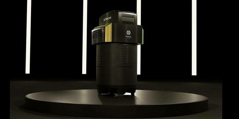
8th October 2025
Vexcel Imaging Unveils the UltraCam Dragon 4.2: A New Benchmark in Hybrid Oblique Imaging and LiDAR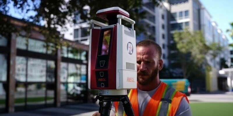
29th September 2025
The RIEGL VZ-600i in Action: Mobility Meets Precision on “The 3rd Dimension” YouTube Series
26th September 2025
Recording Available Now for RIEGL’s September Webinar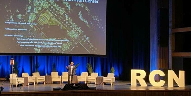
22nd September 2025
Reality Captured, Future Unlocked: RIEGL’s VZ-600i Leads the Charge at R-CON Boise
9th September 2025
RIEGL Webinar Announcement: TLS Roundtable – Exploring the Latest Updates for the VZ-600i & RiSCAN Pro
29th August 2025
Scanning Hallstatt: RIEGL LiDAR Transforms Exploration of a World Heritage Landscape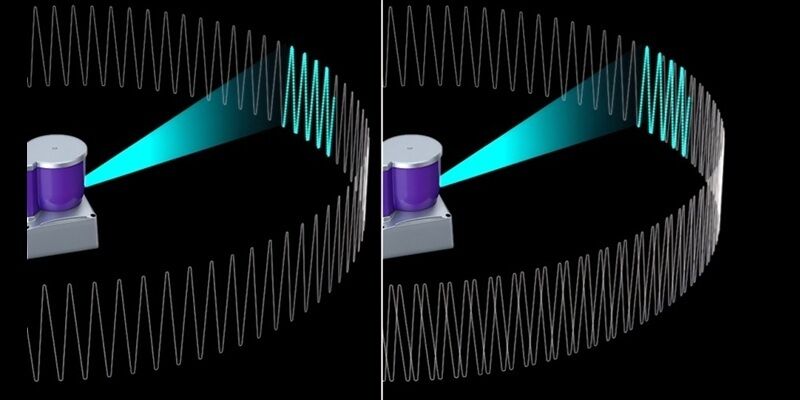
10th August 2025
Orbbec Debuts Industry-First Multi-Pattern 3D LiDAR at World Robot Conference 2025
10th August 2025
Scaling New Heights: Linkfast Techology Company Uses RIEGL VZ-600i to Deliver Fast, Precise Laser Scanning of the Taipei Dome
8th August 2025
Bright Lights, Bold Flights: RIEGL LiDAR is Flying High at the 2025 Commercial UAV Expo in Las Vegas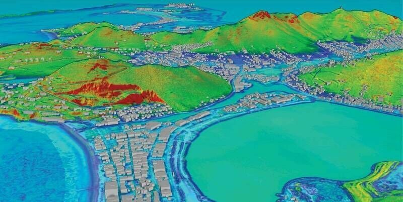
1st August 2025
Fugro partners with SDG Data Alliance to strengthen climate resilience in the Caribbean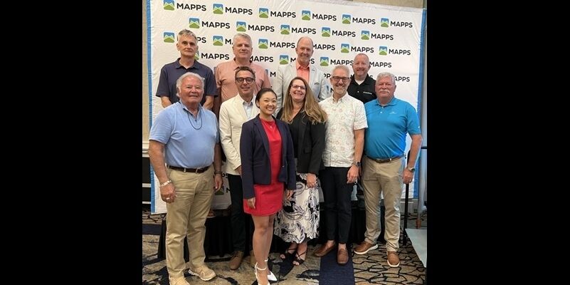
31st July 2025
RIEGL USA’s My-Linh Truong Re-Elected to MAPPS Board of Directors
25th July 2025
Leica Geosystems makes reality capture easier to adopt with a new, all-in-one solution
23rd July 2025
InnovizSMART Integrates NVIDIA Jetson Orin for Advanced Edge Computing