
FARO CREAFORM Strengthens HandySCAN 3D Portfolio with Next-Generation MAX Series and New EVO Series Models
13th July 2026
FARO CREAFORM Strengthens HandySCAN 3D Portfolio with Next-Generation MAX Series and New EVO Series ModelsThe creation, visualisation and use of three-dimensional representations of real or virtual world terrains, surfaces, elevations and built objects
Three-dimensional models are used increasingly in the public and private sectors and in academic research to visualise and analyse real or virtual world features and objects. This topic encompasses the creation of 3D geometric models from captured spatial data and their use in applications that include architecture, construction, engineering, urban planning, city and infrastructure modelling, transport and utility network planning and management, asset management, entertainment film production, video gaming and the geosciences. Additionally, the topic covers the creation and use of 3D models that make use of Virtual, Augmented and Mixed Reality techniques
13th July 2026
FARO CREAFORM Strengthens HandySCAN 3D Portfolio with Next-Generation MAX Series and New EVO Series Models
15th June 2026
Digital Construction Week 2026 welcomes over 9,000 professionals as industry looks to the future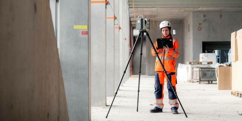
10th June 2026
Leica Geosystems’ new Leica RTC series sets the new benchmark in scanning accuracy and productivity
3rd June 2026
Trimble Announces Availability of ProjectSight 360 Capture in North America, the UK and Ireland
15th May 2026
NXT BLD and Bentley Systems Launch NXT Activate Accelerator to Back the Next Generation of AEC Software Innovators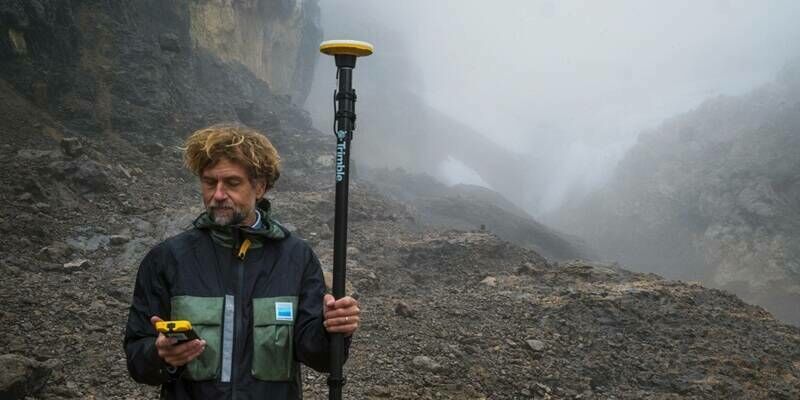
12th May 2026
Trimble Technology Enables First Centimeter-Accurate 3D Model of Disappearing Puncak Jaya Glaciers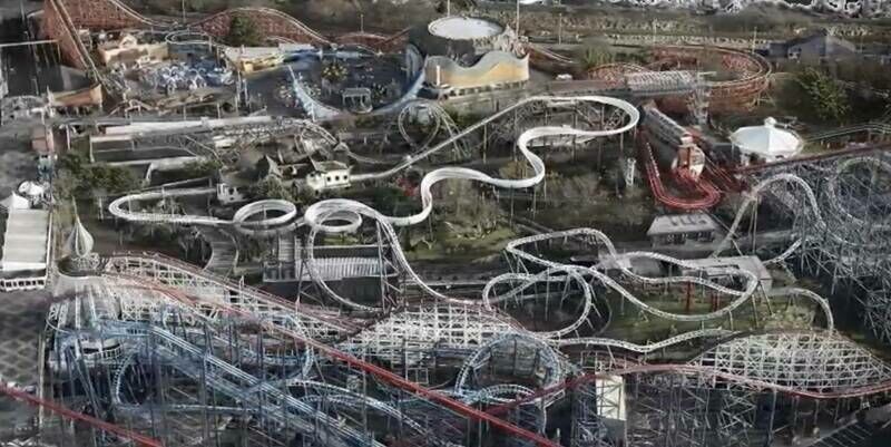
8th May 2026
Iconic Blackpool Pleasure Beach mapped in unprecedented 3D detail for the first time to aid emergency services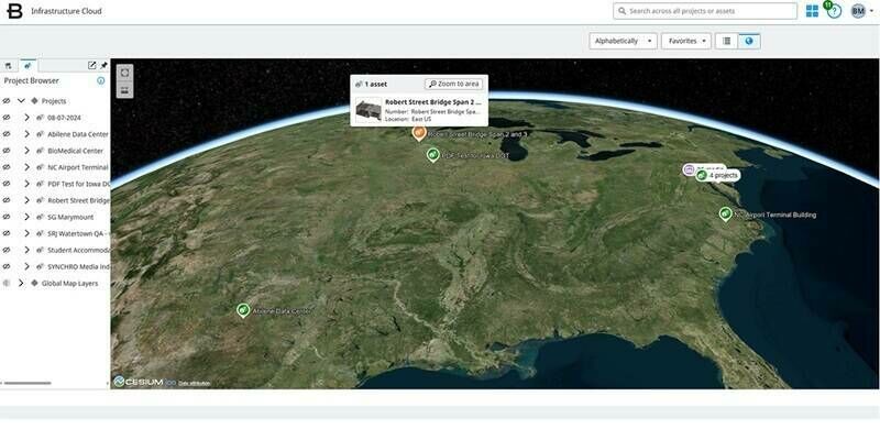
30th April 2026
Bentley Systems Achieves Key U.S. Government Security Milestone to Help Modernize the Nation's Infrastructure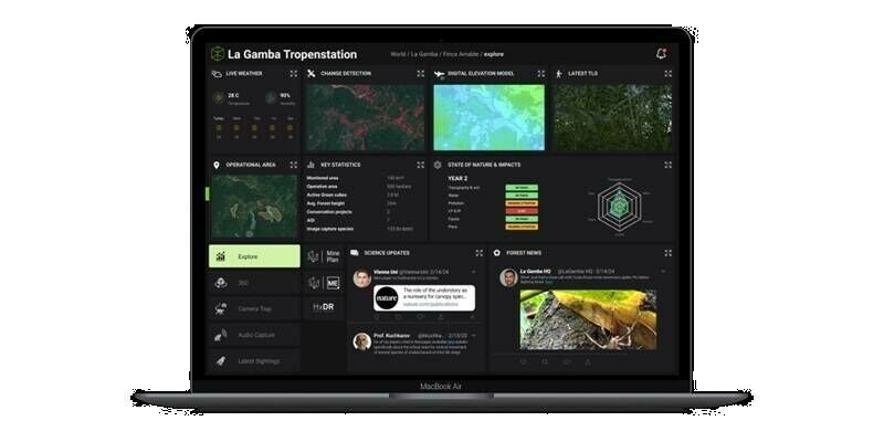
16th April 2026
Hexagon's Green Cubes digital twin technology contributes to mining reclamation efforts across South America with Vale
9th April 2026
Major LiDAR Survey Completed at Elland Road Stadium to Support Redevelopment
16th March 2026
Trimble Unveils 2026 Tekla Software: Accelerating BIM, Engineering and Construction Productivity Through Streamlined Workflows and AI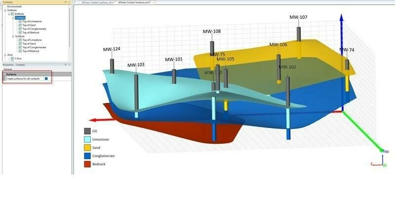
11th March 2026
Golden Software Enhances 3D Subsurface Visualization and Ease of Use in Surfer Mapping Package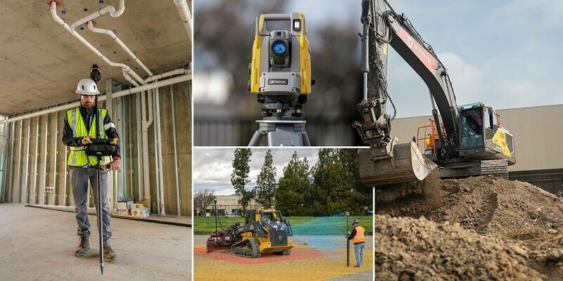
4th March 2026
Topcon unveils new machine control, safety, and geomatics innovations at CONEXPO 2026
18th February 2026
Geo Week 2026 Opens Today with Record-Breaking Exhibit Hall
10th February 2026
Aerial Surveys International Teams with Polygon Solutions, Urban Hawk at Geo Week 2026 to Unveil TrinityGeo Geospatial Intelligence Product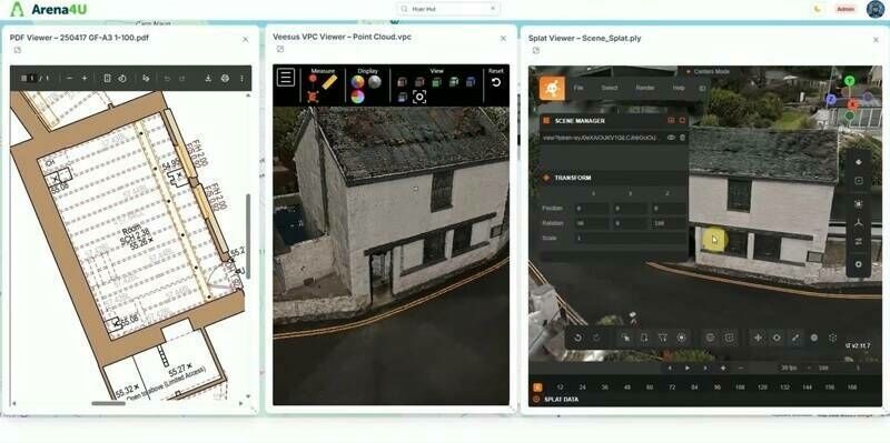
3rd February 2026
New Platform from Veesus enhances Data Management, Sharing, and Collaboration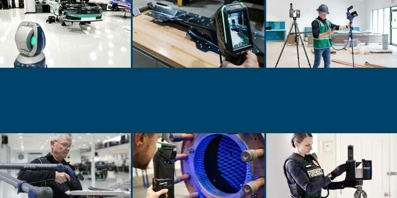
26th January 2026
A New Era Unfolds: FARO and Creaform Combine to Form Two New Business Units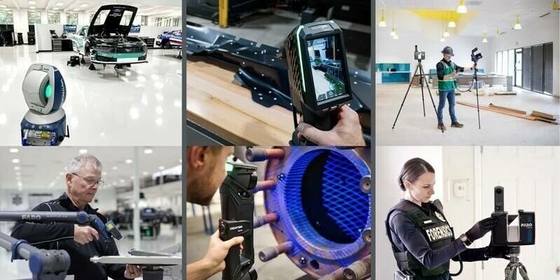
14th January 2026
A New Era Unfolds: FARO and Creaform Combine to Form Two New Business Units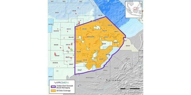
12th January 2026
Viridien launches major multi-client reimaging program in Malaysia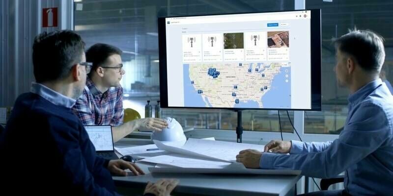
6th January 2026
Bentley Systems Acquires Talon Aerolytics, and Pointivo Technology, for Asset Analytics Leadership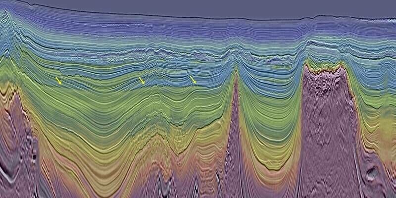
29th December 2025
Viridien completes reimaging of BM-S-2 multi-client survey in Brazil’s southern Santos Basin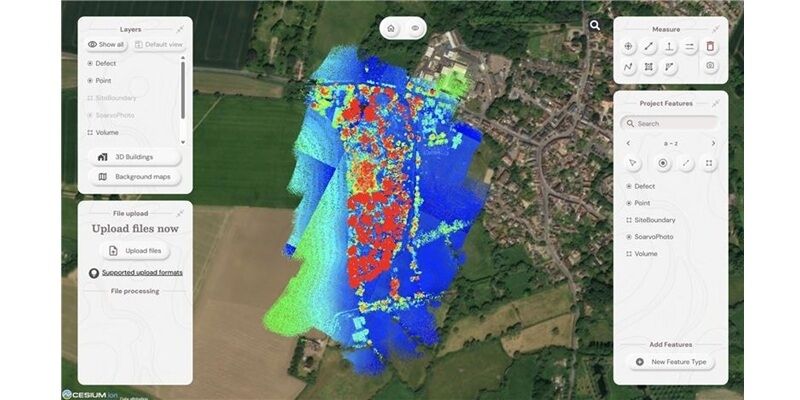
2nd December 2025
The geospatial revolution and why this time around, everyone’s invited
28th November 2025
Hexagon launches GeoMonitoring, a web platform for safety monitoring
27th November 2025
Towards an integrated data model for next-generation bridge maintenance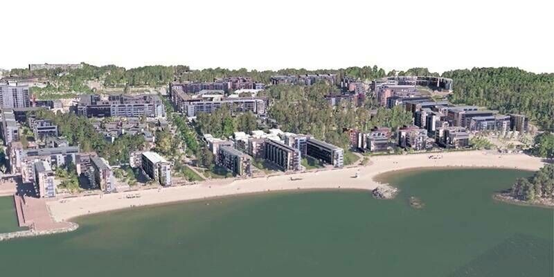
14th November 2025
KOREC signs reseller agreement with Terrasolid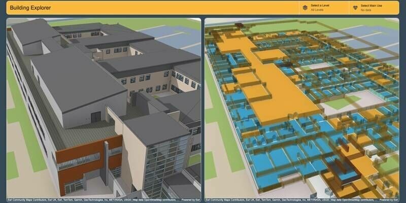
13th November 2025
Manchester University NHS Foundation Trust creates smart estate with digital twin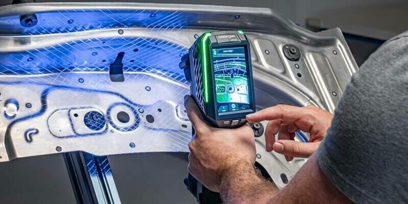
22nd October 2025
20 Years After Creating the Metrology-Grade Handheld 3D Laser Scanner Category, Creaform Redefines Industry Standards with the Debut of the HandySCAN 3D|EVO Series
20th October 2025
Bentley Systems Announces Winners of the 2025 Going Digital Awards
24th June 2025
RIEGL LiDAR Technology Utilized in U.S. Antarctic Research Projects to Support Thermographic Analysis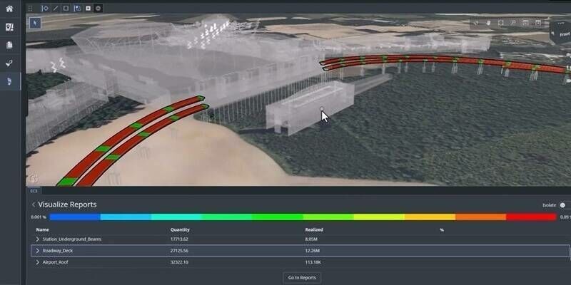
24th June 2025
Bentley Systems Wins Multiple 2025 Sustainability Delivery Awards
30th May 2025
Topcon and Vemcon sign Memorandum of Understanding to expand 2D-to-3D upgrade availability for excavators
24th April 2025
LuxCarta Announces Bronze Technology Partnership with Esri and Esri France
17th April 2025
USGS Selects Woolpert to Provide Elevation-Derived Hydrography for State of Tennessee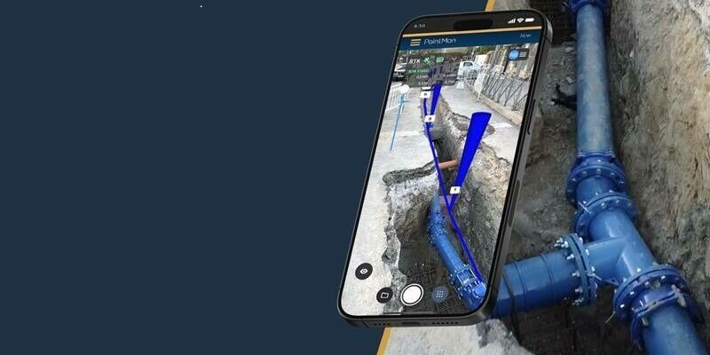
10th April 2025
Pix4D and Prostar Partner to Provide Precision 3D Augmented Reality of Critical Underground Infrastructure Worldwide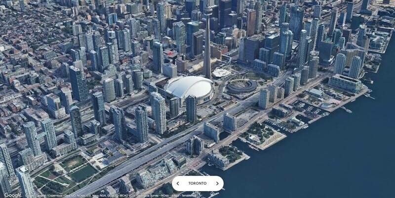
17th March 2025
Esri Collaborates with Google Maps Platform to Offer High-Quality Photorealistic 3D Tiles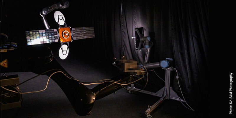
28th January 2025
Vision-based navigation system enables satellites to approach or avoid other objects in space
9th January 2025
Creaform Redefines Online Experience with a New Website
5th December 2024
An urban digital twin combatting heat islands and flooding: e-GEOS at the helm of the European project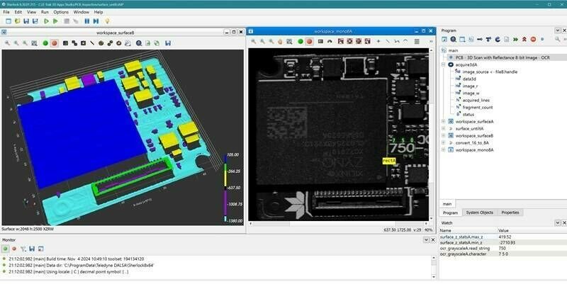
27th November 2024
Teledyne launches Z-Trak 3D Apps Studio software tools for in-line 3D measurement and inspection
12th November 2024
Trimble Showcases New Artificial Intelligence Innovations During Dimensions User Conference
7th November 2024
NV5 Awarded $26 Million to Support Utility Grid Efficiency and Reliability Through Tech-Enabled Geospatial Services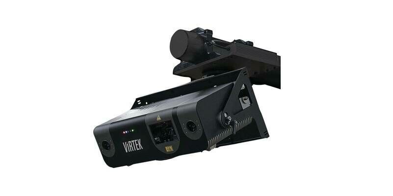
4th November 2024
AMETEK Acquires Virtek Vision International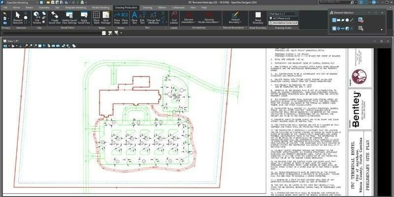
22nd October 2024
Bentley Systems Announces Generative AI Game-Changer for Civil Site Design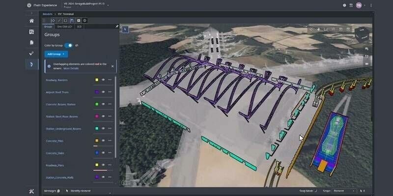
21st October 2024
Bentley Systems’ New Carbon Analysis Capabilities Help Reduce Infrastructure’s Carbon Footprint
17th October 2024
October Webinar with Highlights from INTERGEO 2024 is Now Available
15th October 2024
Bentley Systems Announces Winners of the 2024 Going Digital Awards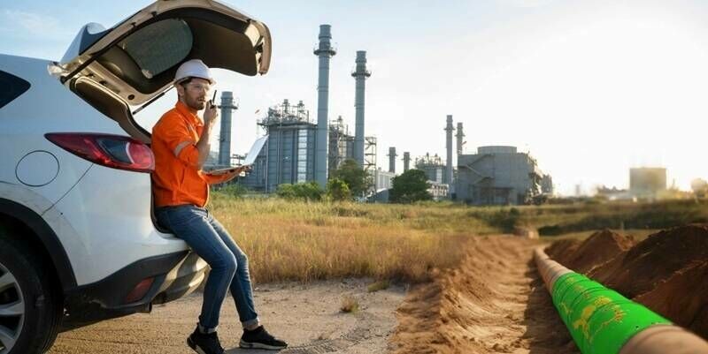
11th October 2024
VXintegrity 3.0: A Moderns Approach to Infrastructures Fitness-For-Service (FFS) Analyses