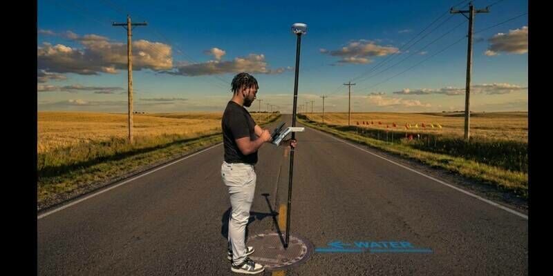
Eos Positioning Systems Introduces New Skadi Handle Range Pole Bracket
8th July 2026
Eos Positioning Systems Introduces New Skadi Handle Range Pole BracketThe 2D and 3D measurement of points, distances and angles of features and objects on the Earth’s surface. See also Surveying Instrumentation topic. This topic covers the science and techniques that govern the 2D and 3D measurement of points, distances and angles of natural and man-made features and objects on the Earth’s surface. These measurements are acquired for a wide range of practical applications in construction, engineering, land use planning, mapmaking and cadastral projects, See also Surveying Instrumentation topic for the various tools employed to acquire survey measurements.
8th July 2026
Eos Positioning Systems Introduces New Skadi Handle Range Pole Bracket
5th May 2026
How Ordnance Survey is bringing together leaders and innovators to explore how location can help tackle real-world challenges
15th March 2026
How productivity gains help survey firm outbid the competition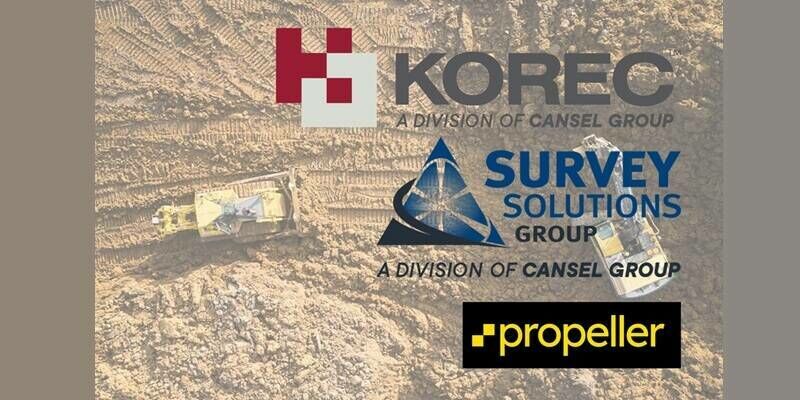
9th March 2026
KOREC and Survey Solutions Group announce new authorised distributorship with Propeller
1st March 2026
Ardent appoints Steven Manifold to newly created position of Director of Development Consultancy, broadening service offering
19th February 2026
Trimble Sponsors Global Design Challenge to Empower Future Engineers
18th February 2026
Geo Week 2026 Opens Today with Record-Breaking Exhibit Hall
3rd February 2026
Mapping The Foundations Of Britain’s Future Infrastructure
3rd December 2025
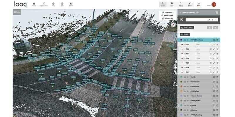
Looq AI Expands Global Partner Ecosystem to Advance Ground-Based Reality Capture in Surveying, Engineering, and Utilities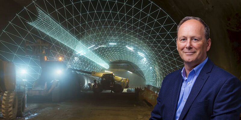
24th November 2025
Topcon’s next-generation solutions for construction, reality capture, and GNSS positioning
19th November 2025
There’s gold beneath our feet - it’s time to unearth it
2nd October 2025
Introducing the Leica TS20 robotic total station with edge AI: Elevating everyday productivity even in the toughest conditions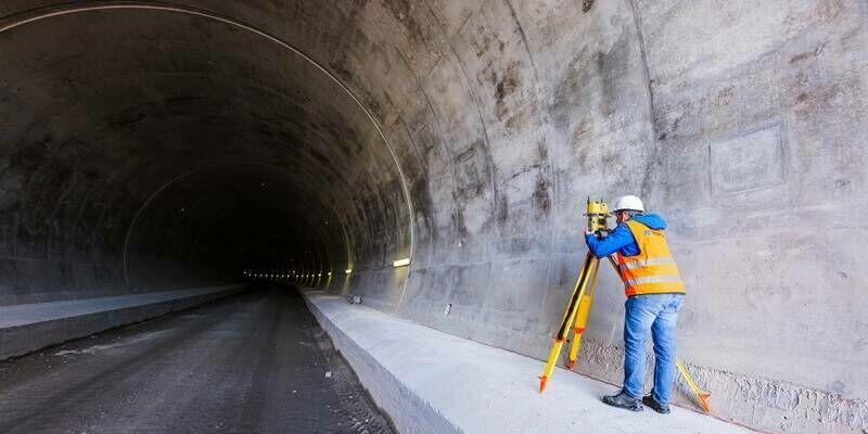
1st October 2025
Technology Powers Seamless Construction Of Tunnel Project In The Italian Alps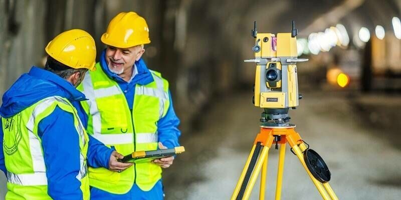
1st October 2025
Topcon launches new organization dedicated to Geomatics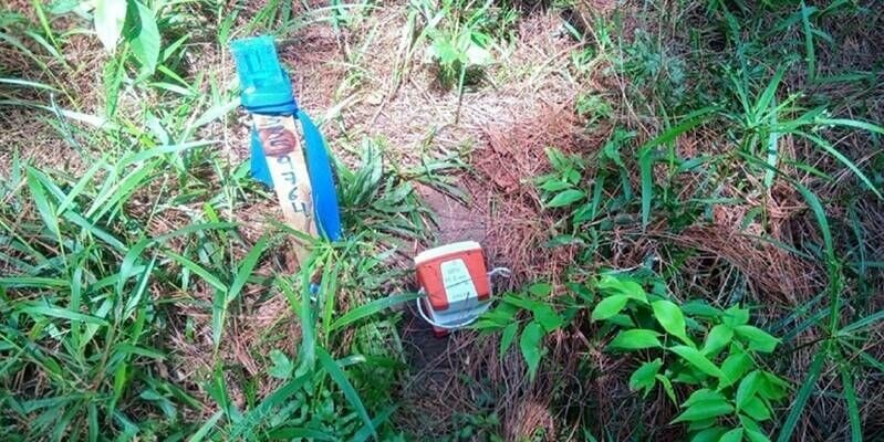
26th August 2025
Sinopec deploys 65,000 Sercel land nodes for complex 3D survey in Mexico
23rd June 2025
Introducing Misura Geospatial: A new chapter for a trusted name in surveying
5th June 2025
INTERGEO 2025: Smart solutions for real challenges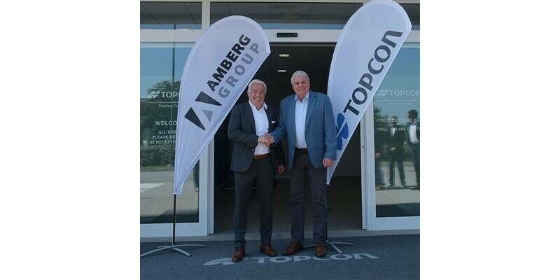
26th May 2025
Cooperation between Topcon Positioning Systems and Amberg Technologies
11th May 2025
RIEGL VZ-i Series Kinematic App: Mobilize your terrestrial laser scanner!
7th May 2025
Trimble Announces Dimensions Australia, Expanding Access to Flagship User Conference Experience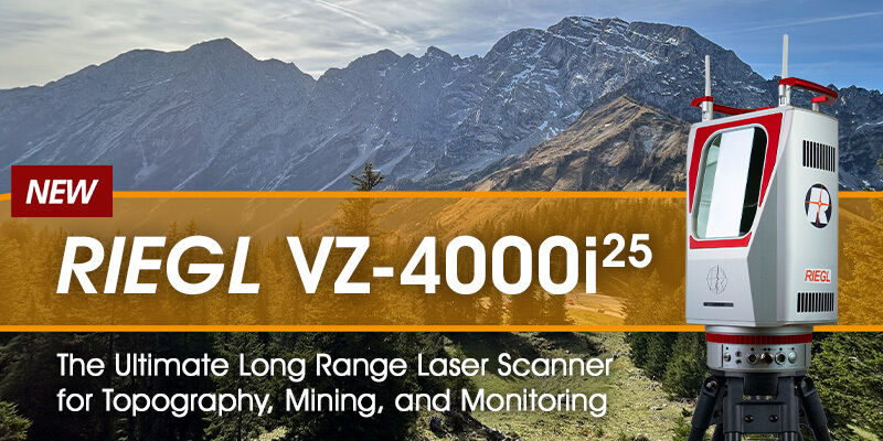
14th April 2025
RIEGL VZ-4000i-25: The Ultimate Long Range Scanner for Topography, Mining & Monitoring
7th February 2025
How telecommunications cables can image the ground beneath us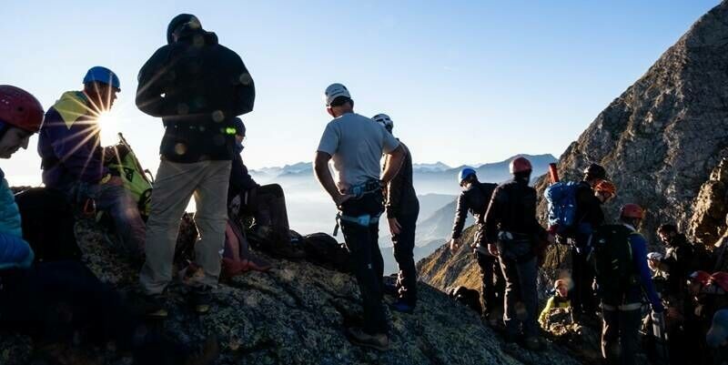
2nd December 2024
Solving The Mystery Of The Arcouzan Glacier
14th November 2024
Topcon addresses world’s water insecurity through Wine To Water Filter Build event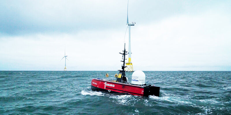

25th June 2024
New President Appointed At The Society Of Chartered Surveyors Ireland
30th April 2024
Plowman Craven secures major investment from Agathos to fuel next stage of growth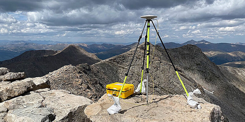
19th April 2024
Reevaluation of Colorado's iconic summits is part of a national remapping project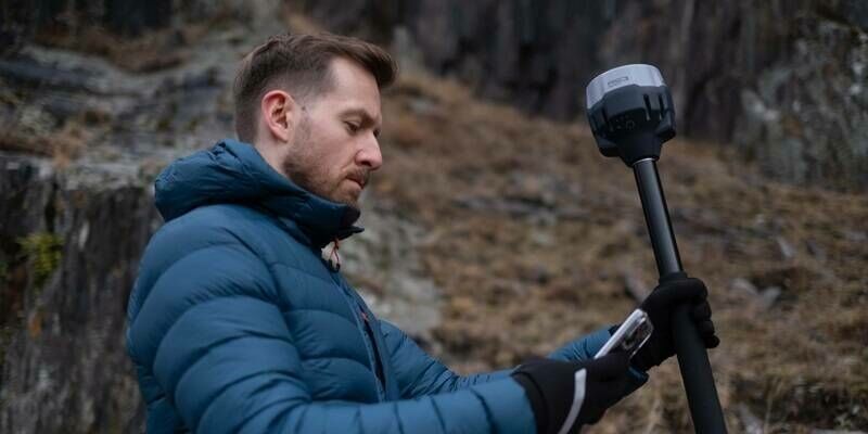

27th February 2024
Topcon champions next generation of surveyors with sponsorship of Get Kids into Survey Ambassador Hub
22nd January 2024
The Mesa 4 Rugged Tablet by Juniper Systems is now available and shipping worldwide
10th November 2023
KOREC teams up with Wingtra in new distributor agreement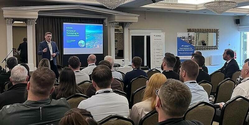
24th October 2023
Bridging the Skills Gap: KOREC connects education and industry to foster surveying talent
12th October 2023
RIEGL VZ-600i: High Speed Laser Scanning for Professionals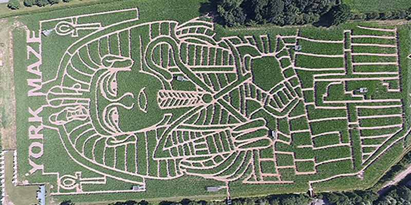

11th September 2023
Nick Bolton to join Ordnance Survey as new Chief Executive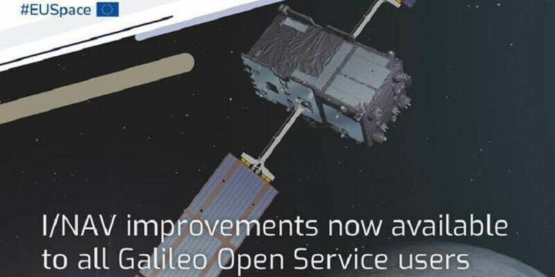
29th August 2023
I/NAV improvements are now available to all Galileo Open Service users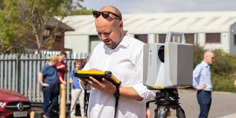
7th August 2023
Explore a World of Opportunities: Join KOREC Group as a Geospatial Sales Consultant
28th July 2023
Streamlining a nuclear power plant construction project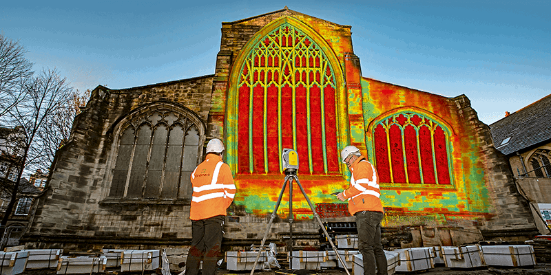

28th July 2023
Trimble And Fhnw Establish Trimble Technology Lab In Switzerland28th July 2023
Topcon announces strategic investment in DDK Positioning28th July 2023
KOREC expands UK Trimble footprint with new SEP Geospatial reseller agreement
28th July 2023
Juniper Systems’ Customisable Mesa Pro Rugged Tablet is Now Available Worldwide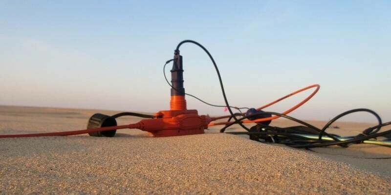
7th June 2023
Sercel Delivers Additional 508 XT System for Mega-Crew Seismic Surveys in North Africa

19th April 2023
KOREC Group unveils new customer-centric Mission Statement