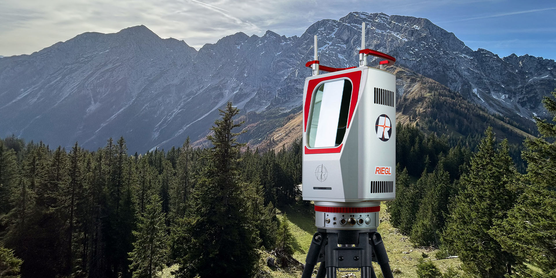
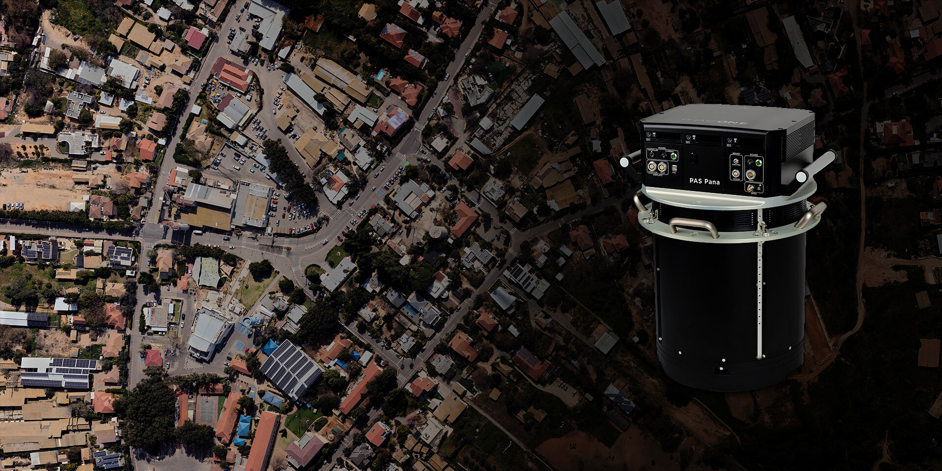
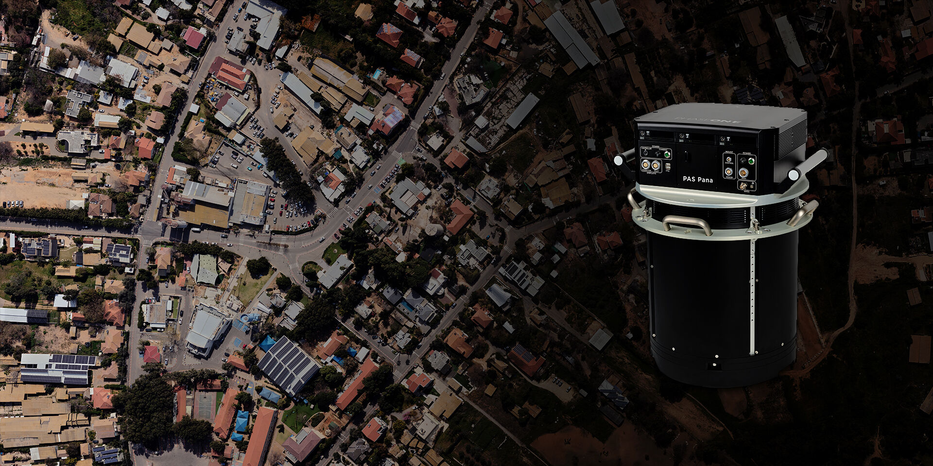
RIEGL’s NEW Ultimate Long Range Laser Scanner



Latest news

Alex Lane appointed new Business Area President for Sweco UK
23rd July 2026
Alex Lane appointed new Business Area President for Sweco UK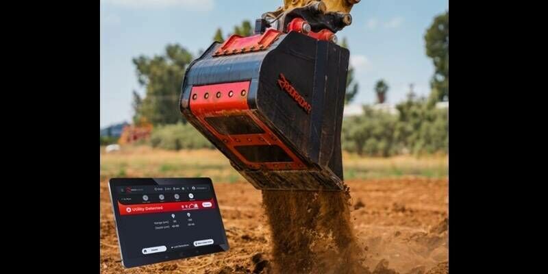
Network Plus Launches Nationwide Rollout of RodRadar's Live Dig Radar to Tackle the UK's £2.4B Utility Strike Problem
23rd July 2026
Network Plus Launches Nationwide Rollout of RodRadar's Live Dig Radar to Tackle the UK's £2.4B Utility Strike Problem
Africa-EU Space Cooperation: e-GEOS leads training activities for the African Space Agency
22nd July 2026
Africa-EU Space Cooperation: e-GEOS leads training activities for the African Space Agency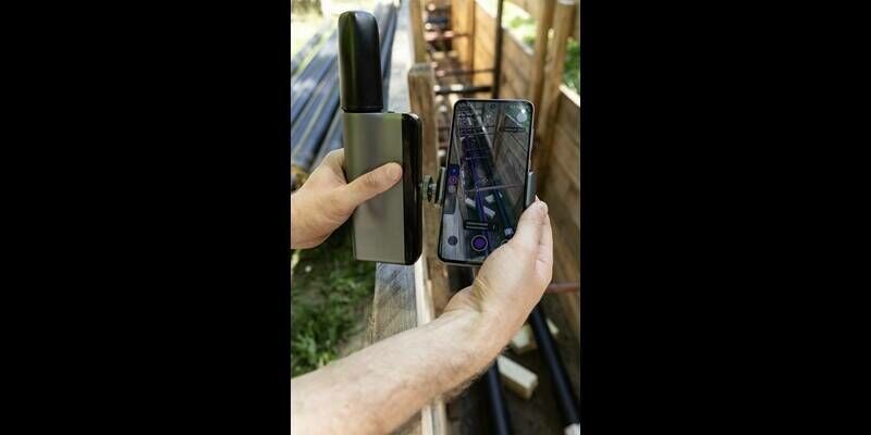
Netpipe launches 3tag, the world's first integrated standalone GNSS surveying system with RTK, pole-free laser height compensation, offline AI and on-device reporting
22nd July 2026
Netpipe launches 3tag, the world's first integrated standalone GNSS surveying system with RTK, pole-free laser height compensation, offline AI and on-device reportingVideos

RIEGL VZ-i Series Kinematic App: Mobilize your terrestrial laser scanner!
11th May 2025
RIEGL VZ-i Series Kinematic App: Mobilize your terrestrial laser scanner!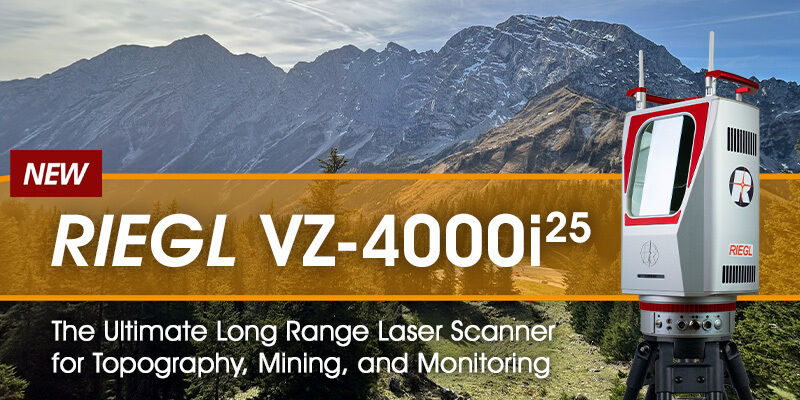
RIEGL VZ-4000i-25: The Ultimate Long Range Scanner for Topography, Mining & Monitoring
14th April 2025
RIEGL VZ-4000i-25: The Ultimate Long Range Scanner for Topography, Mining & Monitoring
RIEGL VZ-600i: High Speed Laser Scanning for Professionals
12th October 2023
RIEGL VZ-600i: High Speed Laser Scanning for ProfessionalsIn Depth

Creating the largest-ever database on floating ocean plastic using smart cameras
23rd July 2026
Creating the largest-ever database on floating ocean plastic using smart cameras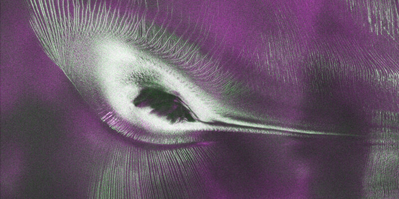
US-India satellite delivers data, reveals ‘Hummingbird’ in Antarctica
22nd July 2026
US-India satellite delivers data, reveals ‘Hummingbird’ in Antarctica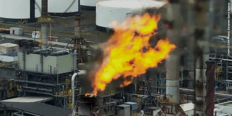
Events

25 Nov - 27 Jul
Oceanology Asia 25-27 November 2026
Oceanology Asia 25-27 November 2026
24-27
Nov
Horizons Clean Energy Expansion Week 24-27 November 2026
Horizons Clean Energy Expansion Week 24-27 November 2026
17-19
Nov