Share
Peter McKeague reviews the work of Historic Environment Scotland in mapping archaeological investigations and argues that while technology has revolutionised this work, much is lost if we fail to realise the potential of our primary data
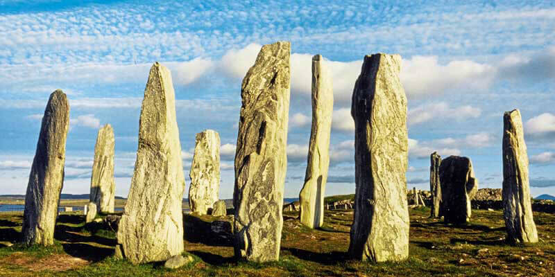
Archaeological records are typically organised by monument. In Scotland, the National Record of the Historic Environment, hosted by Historic Environment Scotland (HES), maintains an inventory of over 320,000 archaeological monuments, historic buildings and maritime losses. This is supported by an integrated archive of more than 1.6m items. Canmore provides online access to a wealth of information organised on a site-by-site basis (Fig 1) or by collection. Through MyCanmore the public may add comments and images to individual records.
HES is also responsible for the formal protection of sites, including Scheduled Monuments and Listed Buildings. Most local authorities in Scotland maintain or have access to Historic Environment Records. These records are essential tools informing planning decisions and the stewardship of our past. The public can browse these datasets and download limited data through a map-based browser, PastMap (Fig.2). Following the INSPIRE (Scotland) Regulations 2009, HES Protected Sites and Canmore spatial data is available as View and Download services published under Open Government Licences (http://portal.historicenvironment.scot/spatialdownloads)
Job done? Hardly!
Archaeology is the study of past human activity though a range of investigative techniques and scientific analysis.
Our records are interpretations of the wealth of data documenting the location, extent, and characteristics of our heritage created through fieldwork (Fig.3) and other sources.
INSPIRE only addresses a fraction of that data: curated datasets defining legal constraints and monument locations and extents - all maintained by the Public Sector. It does not address the wealth of data created through archaeological fieldwork including academic research, from professional archaeologists in response to planning conditions or from community projects.
Beyond the immediacy of a report that is compiled to satisfy a grant or planning condition, the potential of the underlying spatial data, gathered at great expense, often remains unrealised. Information flow from field to record and archive can be erratic. Often the only record of a site - even where project data is preserved within a dedicated digital archive, as in Scotland - the spatial potential of the data is compromised.
Archive structures compartmentalise data by organisation and project, rather than realising the value of spatial data through aggregating data from separate projects to build up our understanding of the past. Despite considerable investment in data collection through to project delivery, the long-term potential of that data largely remains unrealised.
Archaeological landscapes
Archaeologists use a range of techniques to uncover the past. In Scotland, there has been a long tradition of using aerial survey to identify and map individual archaeological sites. Such surveys often make use of subtle changes in the landscape that are revealed due to the differential growth rate of arable crops.
Computerised rectification processes transformed the laborious manual process of identifying archaeological features from aerial imagery, while GIS created a platform to move from a site-centric approach to a landscape perspective.
At Inveresk, to the East of Edinburgh, airborne mapping has revealed a complex sequence of archaeological sites including a Neolithic ritual monument known as a cursus, a sequence of Roman temporary camps and field systems, as well as traces of undated settlement and cultivation and industrial activity. Through the development of a consistent terminology, data from separate phases of transcription may be combined and presented seamlessly in a GIS and on Canmore mapping (Fig.4).
Excavations in 1984 investigated some of the cropmarks in advance of a road scheme. Initially assumed to represent traces of Roman temporary camps and a Roman trackway, the excavations established that the parallel ditches formed part of the Neolithic cursus. Combining the excavation extent and archaeological detail, digitised from a georeferenced copy of the printed publication plan, with the airborne mapping helps build our understanding of the archaeological landscape and inform our decision-making activities.
Point cloud potential
The availability of high resolution LiDAR data, freely downloadable from the Scottish Remote Sensing portal (https://remotesensingdata.gov.scot/), combined with a suite of Open Source software tools, has stimulated interest in visualising and exploring the archaeological landscape virtually.
Social media is awash with visualisations of sites and landscapes that grab the attention. The benefits of LiDAR are clear, enabling archaeologists to reveal archaeology obscured by tree cover or dense vegetation and to discover subtle features otherwise indetectable by the human eye (fig.5).
But beyond the process of discovery and identification, without mapping either the site extent or, preferably, the observable detail, such visualisations are simply illustrative. They provide no reusable data that can be easily combined with spatial data from other sources. Without preservation as part of a sustainable digital archive, the data is similarly of limited value.
Making more of primary data
Despite the inherent spatial character of archaeological evidence, the value and reuse of that data is routinely overlooked in favour of the descriptive accounts in our record systems. We need to be aware of and anticipate the needs of the evolving geospatial ecosystem developing through The Geospatial Commission and the private sector.
The Geospatial Commission’s National Underground Asset Register not only highlights what can be done with a compartmentalised industry but should serve as a warning to archaeology. We need to realise the potential of our own buried assets to remain relevant in the rapidly evolving geospatial ecosystem. We need to harness the potential of primary archaeological data to inform our own research and understanding, deliver efficiencies and to provide wider societal benefits.
As a profession we should collect data once and maintain that data at a level where this can be done most effectively. Where practical, data should be held in vector formats in preference to raster imagery. It should be possible to seamlessly combine data from different sources and share it between many users and applications.
Fundamental to achieving that goal are consistent data structures coupled with standardisation of the terms we use to describe things. Data may be internally consistent within projects and by organisation but are often not easily combined. Without agreed standards, combining data from separate projects seamlessly and easily remains a difficult and time- consuming task.
Peter McKeague is Spatial Information Manager with the Data Management Team at Historic Environment Scotland (https://www.historicenvironment.scot/) in Edinburgh, and champions the use of digital technologies to improve how we collect and index information so that it is easy to find, understand and reuse


