Share
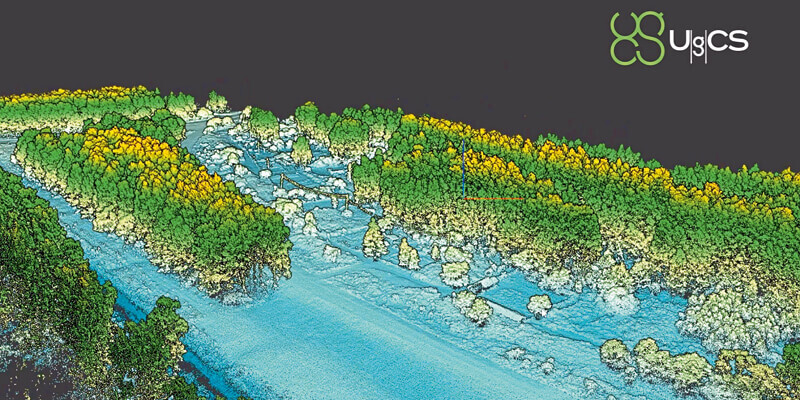
SPH Engineering announces the release of UgCS update, introducing LIDAR toolset to unlock the full potential of LIDARs making remote sensing most effective with no human errors. Key features include precise calibration, flight patterns for route planning, anti-shake turns, and constant line spacing and buffer. UgCS LIDAR toolset allows to optimize time and cost-effectiveness at all stages of data collection and processing. At the flight planning stage time could be saved on mission planning with flight patterns and turns designed specifically for LIDAR surveys. At the flight stage one may acquire high-quality laser data with preset IMU initialization patterns and anti-shake LIDAR turns. During post-flight data analysis, the high accuracy of acquired data ensures getting desired results with one trip to the field and better data analysis. www.ugcs.com


