Laser Scanning
Terrestrial and airborne laser (LiDAR) scanners for the collection of 3D point cloud data; software for processing and visualising point clouds and creating 3D models, and use cases for laser scanning
This topic covers the science, the hardware, and the software used to capture, process and apply 3D point cloud data. As well as airborne and terrestrial (tripod-based, vehicle-mounted and handheld) laser (LiDAR) scanners, the topic includes the proprietary and Open Source software employed to process point clouds and create 3D models. It also covers the many and varied uses for 3D laser scanning: topographic mapping, bathymetric mapping, utility mapping, engineering surveying, agriculture, forestry, geology, architecture, industrial facilities, cultural heritage, asset management and construction, collision avoidance in autonomous and semi-autonomous vehicles, and environmental modelling
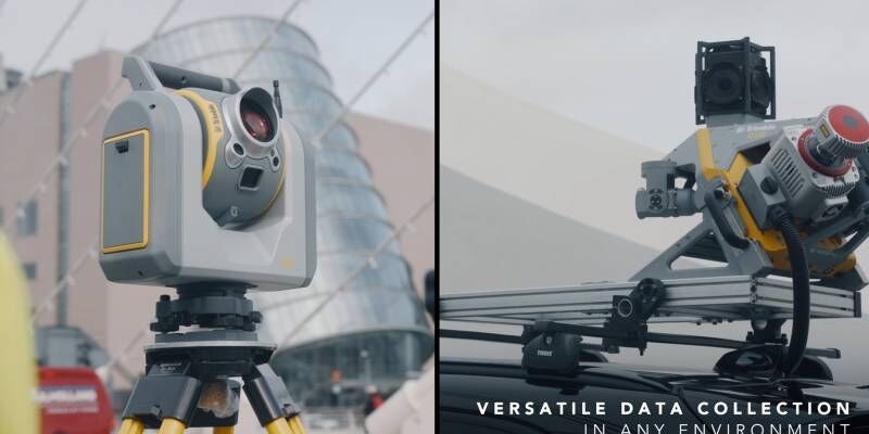
Trimble Business Center Streamlines Point Cloud Workflows and Adds Vertical Applications Enabling Survey and Mapping Professionals to Maximize Productivity
19th January 2021
Trimble Business Center Streamlines Point Cloud Workflows and Adds Vertical Applications Enabling Survey and Mapping Professionals to Maximize Productivity
A Pragmatic Approach to Entering the Drone LIDAR Business
18th January 2021
A Pragmatic Approach to Entering the Drone LIDAR Business
Real estate management during the COVID pandemic - Webinar
18th January 2021
Real estate management during the COVID pandemic - Webinar
UP42 Partners with Intermap to Bring High-Resolution Elevation Data to UP42’s Geospatial Marketplace
14th January 2021
UP42 Partners with Intermap to Bring High-Resolution Elevation Data to UP42’s Geospatial Marketplace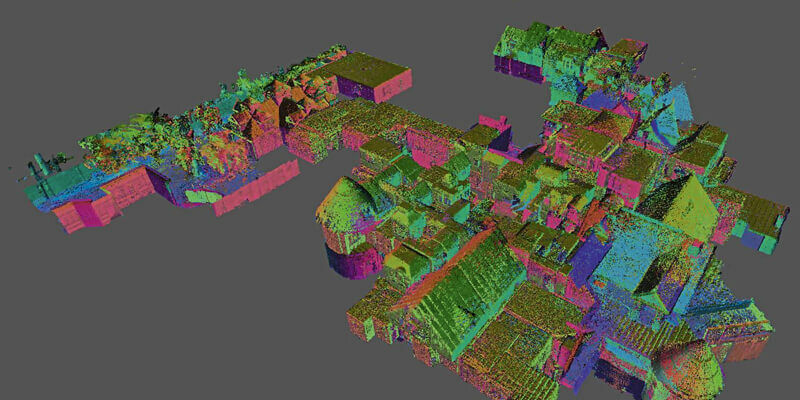
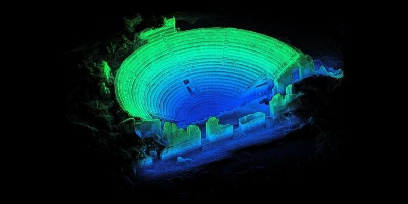
GeoSLAM Completes Spook-Tacular Scanning of Californian Landmark
14th January 2021
GeoSLAM Completes Spook-Tacular Scanning of Californian Landmark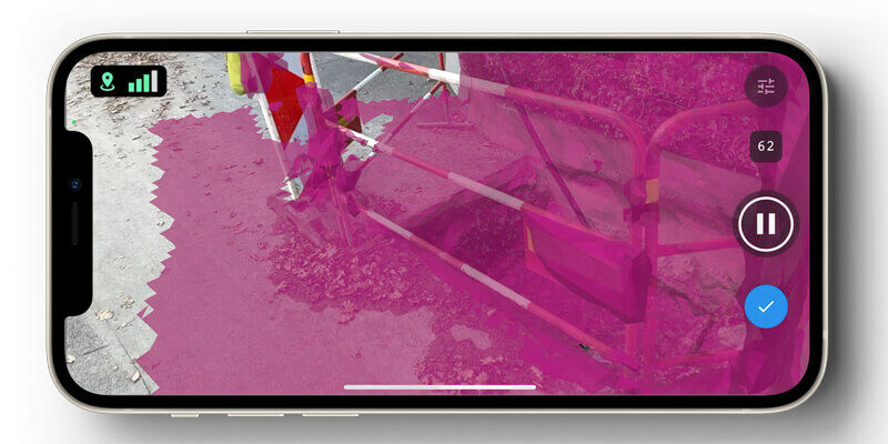
Pix4D launches new ground image capture app for 3D modelling with the iPad Pro and iPhone 12 Pro
14th January 2021
Pix4D launches new ground image capture app for 3D modelling with the iPad Pro and iPhone 12 Pro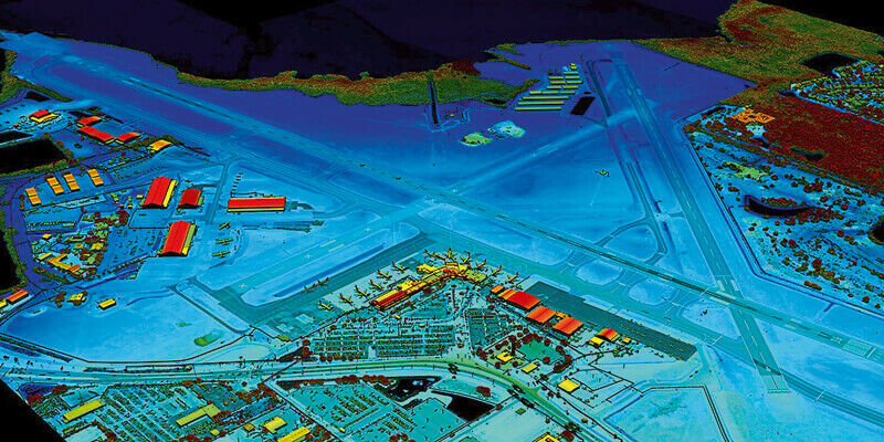
VeriDaaS Plans Statewide California LiDAR Mapping Project in Spring 2021 for Public and Private Customers
14th January 2021
VeriDaaS Plans Statewide California LiDAR Mapping Project in Spring 2021 for Public and Private Customers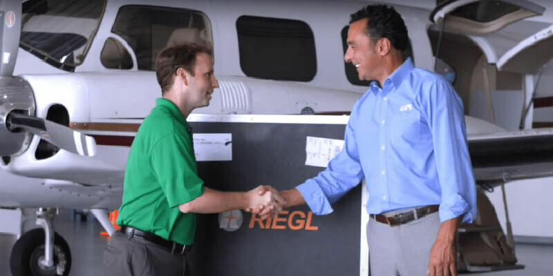
GPI And Riegl: From The Ground To The Skies
14th January 2021
GPI And Riegl: From The Ground To The Skies

Acquiring Data for A Digital Twin of One Of The World’s Busiest Airports
13th January 2021
Acquiring Data for A Digital Twin of One Of The World’s Busiest Airports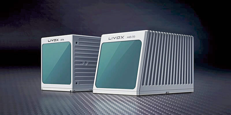
Livox Releases Two New Solutions For Long Range and Short Range Detection
13th January 2021
Livox Releases Two New Solutions For Long Range and Short Range Detection
Riegl’s Ultimate Lidar Webinar Series And More: January 2021
11th January 2021
Riegl’s Ultimate Lidar Webinar Series And More: January 2021
ClearSkies Geomatics acquired the AERIALSURVEY.com
8th January 2021
ClearSkies Geomatics acquired the AERIALSURVEY.com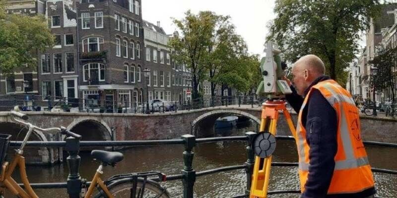
Fugro's Innovative Technologies Monitor Amsterdam's Bridges And Quay Walls
8th January 2021
Fugro's Innovative Technologies Monitor Amsterdam's Bridges And Quay Walls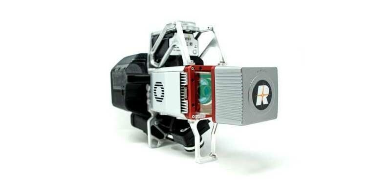
Ayres Acquires True View 620 3D Imaging System
4th January 2021
Ayres Acquires True View 620 3D Imaging System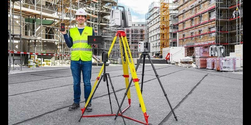
Leica Geosystems introduces one app for all terrestrial laser scanning portfolio
17th December 2020
Leica Geosystems introduces one app for all terrestrial laser scanning portfolio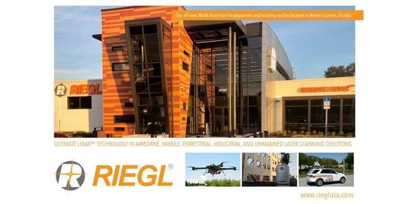

RIEGL announces expansion of their network of dedicated RIEGL offices: New RIEGL office in UK opened
11th December 2020
RIEGL announces expansion of their network of dedicated RIEGL offices: New RIEGL office in UK opened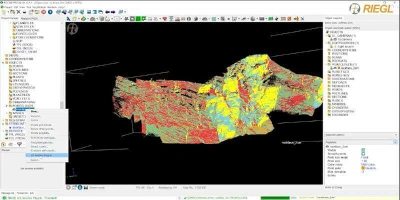
Surface Extraction and Analysis from RIEGL Laser Scan Data
10th December 2020
Surface Extraction and Analysis from RIEGL Laser Scan Data
RIEGL RiCAST- The New RIEGL VUX-120: Your Ultimate LiDAR System for Corridor Mapping and Utilities
8th December 2020
RIEGL RiCAST- The New RIEGL VUX-120: Your Ultimate LiDAR System for Corridor Mapping and Utilities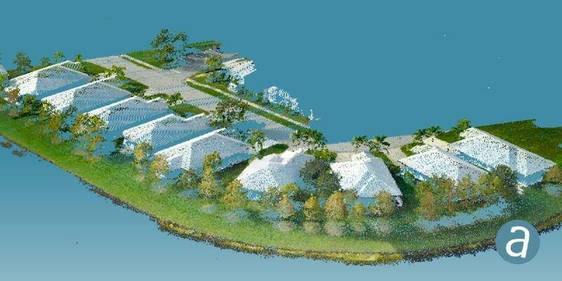
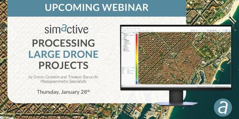
SimActive Software Integrated in LiDAR Solution for Drones
8th December 2020
SimActive Software Integrated in LiDAR Solution for Drones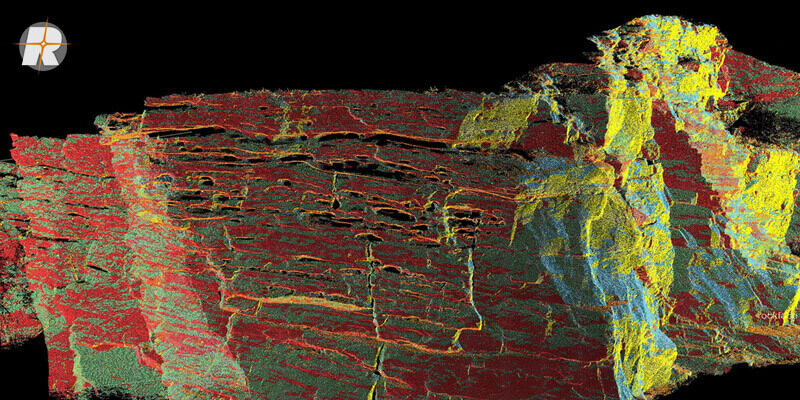
Surface Extraction and Analysis from RIEGL Laser Scan Data
2nd December 2020
Surface Extraction and Analysis from RIEGL Laser Scan Data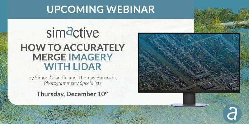
'How to Accurately Merge Imagery with LiDAR' Webinar
1st December 2020
'How to Accurately Merge Imagery with LiDAR' Webinar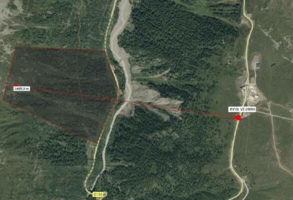
Technotes: Case Study- Geomonitoring With Riegl VZ-2000i
18th November 2020
Technotes: Case Study- Geomonitoring With Riegl VZ-2000i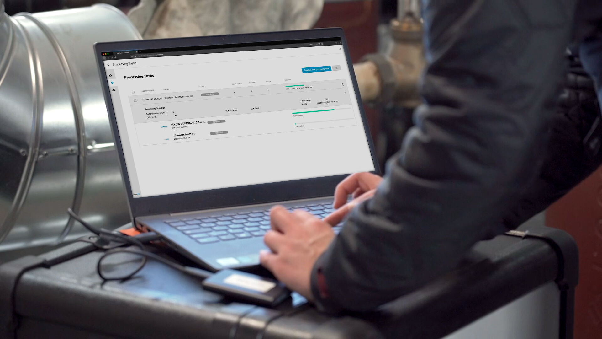
NavVis Introduces Processing in the Cloud for Even Faster Laser Scanning Workflows
18th November 2020
NavVis Introduces Processing in the Cloud for Even Faster Laser Scanning Workflows

Illinois Institute of Technology to Establish Trimble Technology Lab for Civil, Architectural, and Environmental Engineering
13th November 2020
Illinois Institute of Technology to Establish Trimble Technology Lab for Civil, Architectural, and Environmental Engineering
RIEGL’s Ultimate LiDAR Webinar Series: November 2020
10th November 2020
RIEGL’s Ultimate LiDAR Webinar Series: November 2020
Pix4D launches new ground image capture app for 3D modeling with the iPad Pro and iPhone 12 Pro
10th November 2020
Pix4D launches new ground image capture app for 3D modeling with the iPad Pro and iPhone 12 Pro
Recordings are Now Available for the RIEGL Ultimate LiDAR October Webinar Series
9th November 2020
Recordings are Now Available for the RIEGL Ultimate LiDAR October Webinar Series


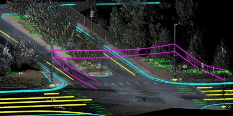
Road Pavement Analysis with the RIEGL VMX-2HA Mobile Mapping System
6th November 2020
Road Pavement Analysis with the RIEGL VMX-2HA Mobile Mapping System
GPI and RIEGL: From the Ground to the Skies
5th November 2020
GPI and RIEGL: From the Ground to the Skies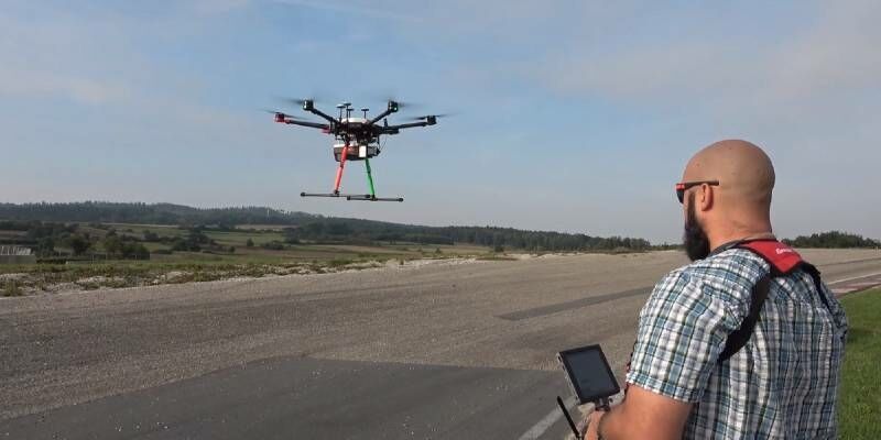
New RIEGL VUX-120 Video Available On Youtube
3rd November 2020
New RIEGL VUX-120 Video Available On Youtube
Researchers Innovate Using Lidar And Hyper-Spectral Scanners To Document And Help Restore Burn Areas
29th October 2020
Researchers Innovate Using Lidar And Hyper-Spectral Scanners To Document And Help Restore Burn Areas
Leica Geosystems continues airborne hybrid road map with latest modular sensor offering
29th October 2020
Leica Geosystems continues airborne hybrid road map with latest modular sensor offering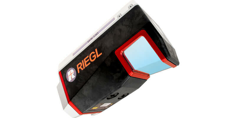
Riegl presents new products at Intergeo 2020
29th October 2020
Riegl presents new products at Intergeo 2020
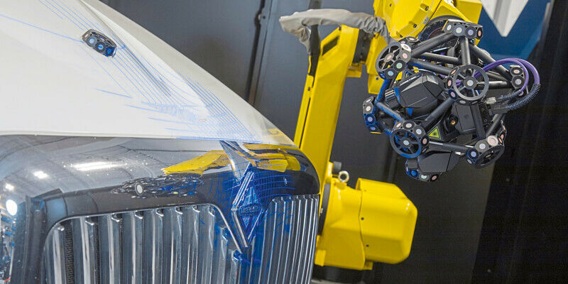
Creaform announces new and complete R-Series suite of automated dimensional quality control solutions
29th October 2020
Creaform announces new and complete R-Series suite of automated dimensional quality control solutions
GeoSLAM Completes Spook-Tacular Scanning of Californian Landmark
29th October 2020
GeoSLAM Completes Spook-Tacular Scanning of Californian Landmark
UP42 Partners with Intermap to Bring High-Resolution Elevation Data to UP42’s Geospatial Marketplace
29th October 2020
UP42 Partners with Intermap to Bring High-Resolution Elevation Data to UP42’s Geospatial Marketplace