Share
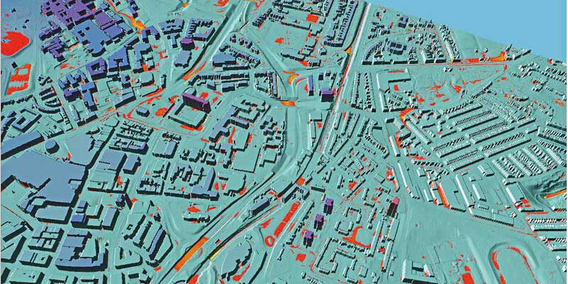
Newcastle University is developing advanced computer modelling to assess the flood risk of individual properties using LiDAR data and oblique aerial photography from Bluesky. The project will use Artificial Intelligence to extract information from other datasets, including old reports and flood asset registers, and bring this together with weather and traffic sensors, for example, to provide a dynamic online platform for hyper local, near real time flood risk assessments. Providing real world context and accuracy, the Bluesky data enables visualisations of evolving events that will enable flood risk managers to employ just in time maintenance and alleviation methods, such as clearing blocked drains or setting up mobile defences. www.bluesky-world.com


