Share
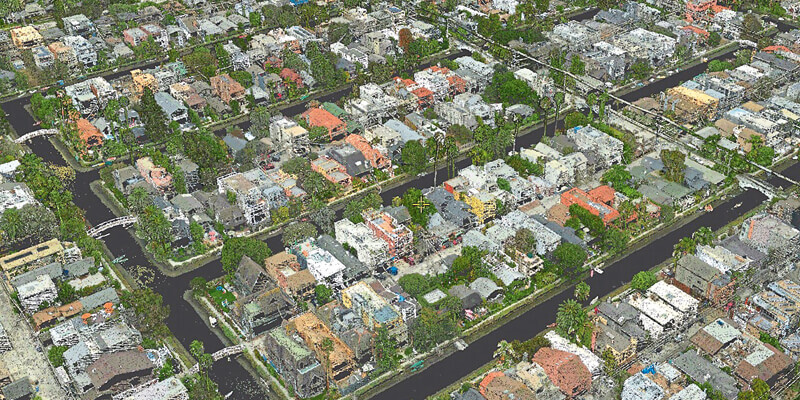
SimActive announces the use of its Correlator3D product by GEO1 to produce colorized point cloud data of Venice Beach, CA. The project took place during the COVID-19 pandemic in the hope of capturing a pedestrian free dataset along the strand, which is typically populated with tourists and locals alike. Flying in a Bell 206 helicopter, GEO1 captured high resolution data of the beach using the Phase One iXM-RS150F camera along with a Riegl VQ480II LiDAR sensor. The team was able to efficiently acquire data despite logistical challenges of the project area, which is adjacent to Los Angeles International Airport. GEO1 partnered with Compass Data who provided survey support and control for the project. CompassData went over and above during the height of the pandemic to deliver critical Ground Control points. www.simactive.com


