3D Modeling Innovator Arithmetica Expands with Appointment of European Resellers for Pointfuse
2nd May 2017
3D Modeling Innovator Arithmetica Expands with Appointment of European Resellers for PointfuseTerrestrial and airborne laser (LiDAR) scanners for the collection of 3D point cloud data; software for processing and visualising point clouds and creating 3D models, and use cases for laser scanning
This topic covers the science, the hardware, and the software used to capture, process and apply 3D point cloud data. As well as airborne and terrestrial (tripod-based, vehicle-mounted and handheld) laser (LiDAR) scanners, the topic includes the proprietary and Open Source software employed to process point clouds and create 3D models. It also covers the many and varied uses for 3D laser scanning: topographic mapping, bathymetric mapping, utility mapping, engineering surveying, agriculture, forestry, geology, architecture, industrial facilities, cultural heritage, asset management and construction, collision avoidance in autonomous and semi-autonomous vehicles, and environmental modelling
2nd May 2017
3D Modeling Innovator Arithmetica Expands with Appointment of European Resellers for Pointfuse
18th April 2017
Pointfuse Transforms Design of Construction in London
11th April 2017
National Trust Deploys Laser Survey Aircraft from Bluesky to Map in 3D7th April 2017
Arithmetica Reveals New Pointfuse Point Cloud 3D Modelling Software
6th April 2017
Bluesky LiDAR Maps Used to Monitor the Spread of Deadly Tree Disease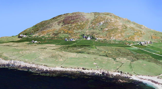
29th March 2017
Bluesky 3D maps help protect coastal heritage sites in new EU Project
29th March 2017
Arithmetica and point3D Partnership Promises Digital Transformation in 3D Modelling
27th March 2017
Sign up for a free Trimble Scanning Workshop
27th March 2017
Bluesky Launches New Online Resource for Geographic Information of Ireland
22nd March 2017
3D Repo Brings Cloud Expertise to Government Funded Smart Infrastructure Project
22nd March 2017
Avalanche Photodiode Arrays from LASER COMPONENTS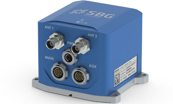
20th March 2017
New generation of the Ekinox Series inertial sensors from SBG Systems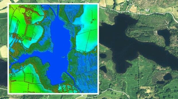
20th March 2017
Bluesky to 3D Laser Map Environmental Features in Ireland16th March 2017
Global Mapper SDK and LiDAR Module SDK v18.1 Released
15th March 2017
Bluesky Acquires US Aerial Survey Company Col-East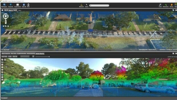
13th March 2017
Orbit GT and LiDAR USA upgrade ScanLook and Snoopy interoperability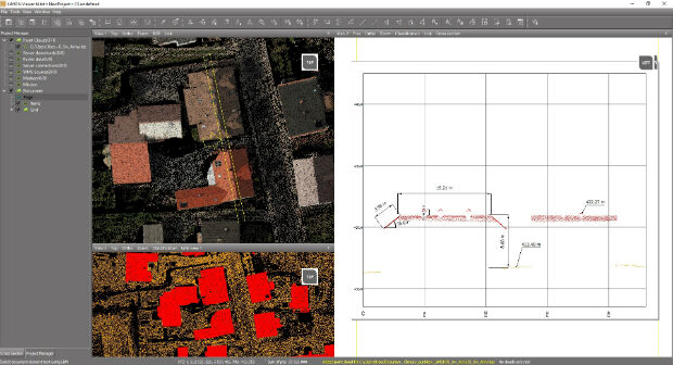
10th March 2017
Fast LiDAR data viewer streamlines work of local governments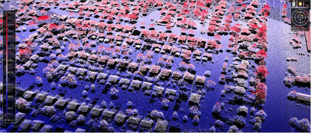
3rd March 2017
New Bathy DataBASE™, HIPS and SIPS™ released by Teledyne CARIS1st March 2017
Global Mapper LiDAR Module v18.1 Now Available
17th February 2017
MERLIN – the first Franco-German Earth observation satellite16th February 2017
Int’l Lidar Mapping Forum & ASPRS Conference to Take Place Together
14th February 2017
3D Repo Appoints Andrew Norrie as Commercial Director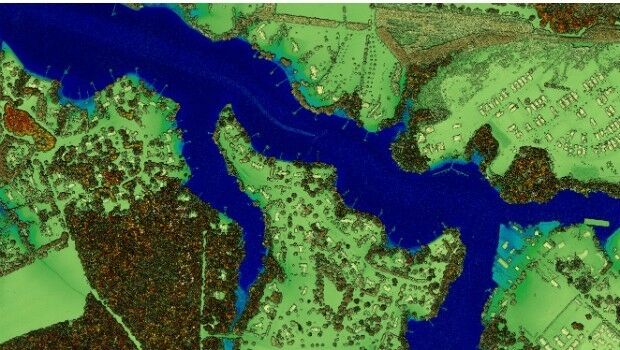
13th February 2017
New Leica SPL100 brings up to 10x more efficiency to airborne LiDAR mapping13th February 2017
Prototype for "native LAS 1.4 extension" of LASzip LiDAR Compressor Released9th February 2017
Blue Marble's Latest Innovations in the Global Mapper LiDAR Module
6th February 2017
Bluesky Appoints Strategic Development Manager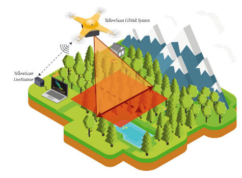
6th February 2017
YellowScan launches YellowScan LiveStation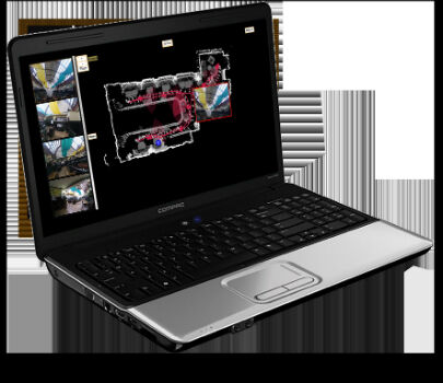
31st January 2017
Blue Marble Teams Up with Pointerra to Provide Cloud-Based LiDAR Data
26th January 2017
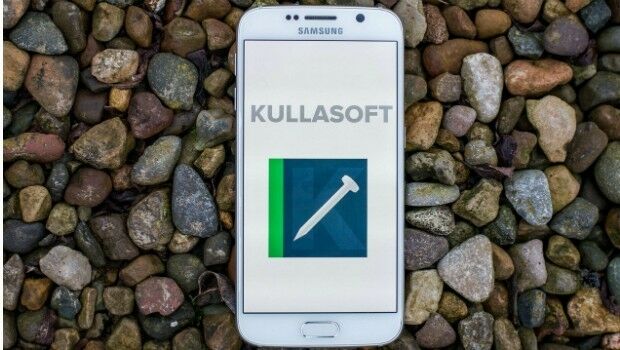
Kullasoft release the Android version of the PGM Manager app
24th January 2017
Airport GIS | LiDAR, imagery and feature extraction for airport operations.jpg)
24th January 2017
Bluesky Announces 2017 Flying Plans for Ireland
20th January 2017
Airbus ready to ship Aeolus for final testing ahead of launch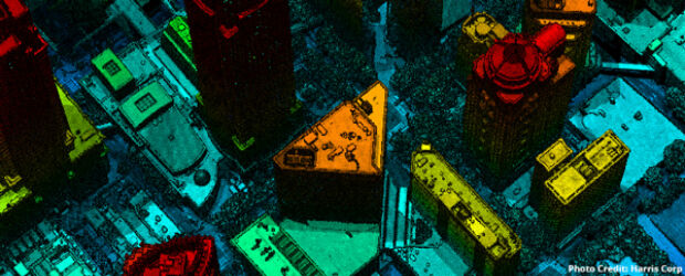
13th January 2017
ILMF 2017: Feb 13-15, Denver – Register by Jan 31 & save $17512th January 2017
International LiDAR Mapping Forum 2017 Keynotes Announced
10th January 2017
EarthSense Systems Gains from UK Space Agency Support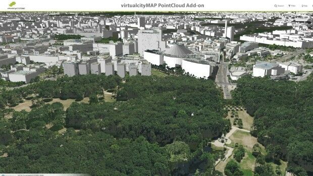
16th December 2016
virtualcitySYSTEMS simplifies handling of massive geodata14th December 2016
Lossless Compression of Harris Geiger-Mode LiDAR Data in GeoExpress30th November 2016
EarthSense Scientists Model Impact of Green Infrastructure on City Traffic Pollution11th November 2016
3D Laser Maps Reveal Devon's Hidden Archaeology27th October 2016
Global Mapper LiDAR Module v18 Now Available