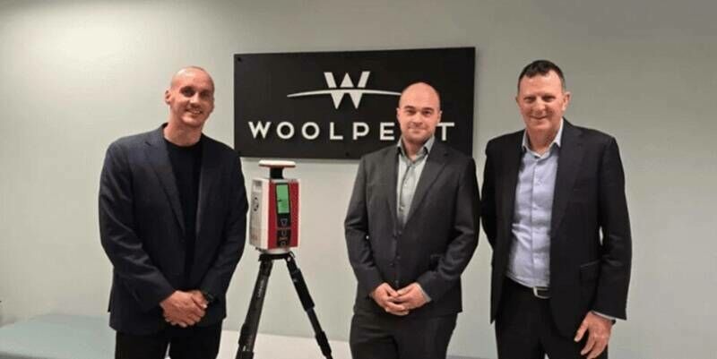
Woolpert Australia Enhances Their Survey Suite with RIEGL’s VZ-600i Laser Scanning Technology
12th December 2024
Woolpert Australia Enhances Their Survey Suite with RIEGL’s VZ-600i Laser Scanning TechnologyTerrestrial and airborne laser (LiDAR) scanners for the collection of 3D point cloud data; software for processing and visualising point clouds and creating 3D models, and use cases for laser scanning
This topic covers the science, the hardware, and the software used to capture, process and apply 3D point cloud data. As well as airborne and terrestrial (tripod-based, vehicle-mounted and handheld) laser (LiDAR) scanners, the topic includes the proprietary and Open Source software employed to process point clouds and create 3D models. It also covers the many and varied uses for 3D laser scanning: topographic mapping, bathymetric mapping, utility mapping, engineering surveying, agriculture, forestry, geology, architecture, industrial facilities, cultural heritage, asset management and construction, collision avoidance in autonomous and semi-autonomous vehicles, and environmental modelling
12th December 2024
Woolpert Australia Enhances Their Survey Suite with RIEGL’s VZ-600i Laser Scanning Technology
6th December 2024
RIEGL LiDAR Technology for BIM and AEC Applications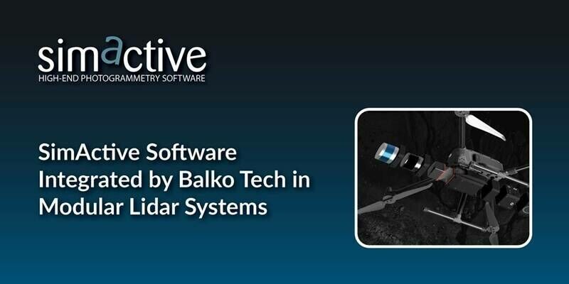
3rd December 2024
SimActive Software Integrated by Balko Tech in Modular Lidar Systems
2nd December 2024
Using LIDAR to study the impact of contrails on climate
22nd November 2024
Webinar Topic – What Are the Advantages of Lidar With Drones?
20th November 2024
Avior Geospatial Enhances Capabilities with the Addition of A RIEGL VQ-1560 II-S
18th November 2024
Recording Available Now for the RIEGL Ultimate LiDAR November Webinar
8th November 2024
CompassData Welcomes a New Senior Account Executive, Joshua Voelker, as They Celebrate 30 Years of Innovation
7th November 2024
NV5 Awarded $26 Million to Support Utility Grid Efficiency and Reliability Through Tech-Enabled Geospatial Services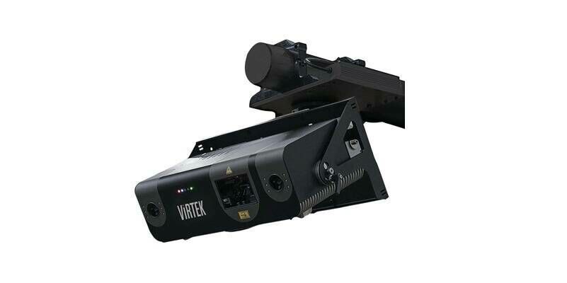
4th November 2024
AMETEK Acquires Virtek Vision International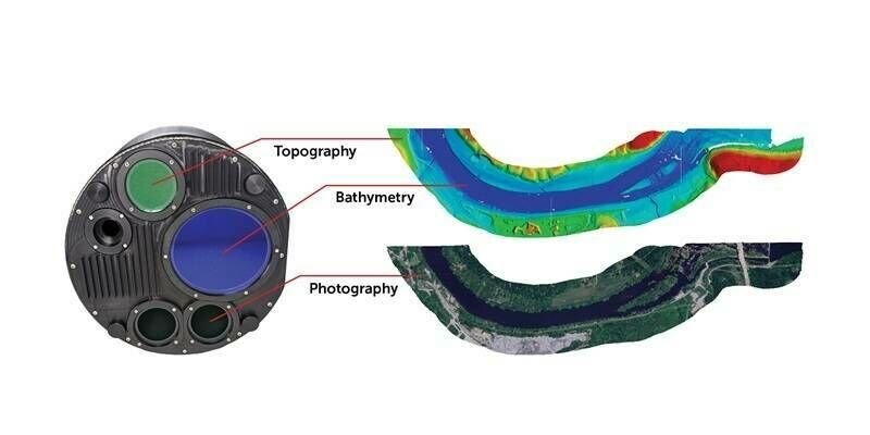
31st October 2024
Teledyne Geospatial to present an exclusive preview of its new coastal mapping solution at HYDRO 2024
28th October 2024
Volcano Watch – First light and flight for the Hawaiian Volcano Observatory’s (HVO) new RIEGL airborne LiDAR system
23rd October 2024
New Enhanced Specifications for the HandySCAN 3D|MAX Series
17th October 2024
October Webinar with Highlights from INTERGEO 2024 is Now Available
11th October 2024
VXintegrity 3.0: A Moderns Approach to Infrastructures Fitness-For-Service (FFS) Analyses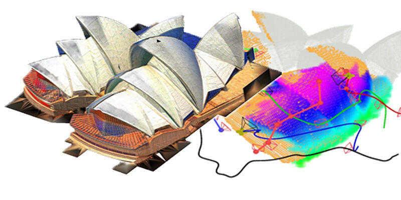
27th September 2024
LiDAR-based system allows unmanned aerial vehicle team to rapidly reconstruct environments
25th September 2024
Digitize the World - Fast. Precise. Efficient.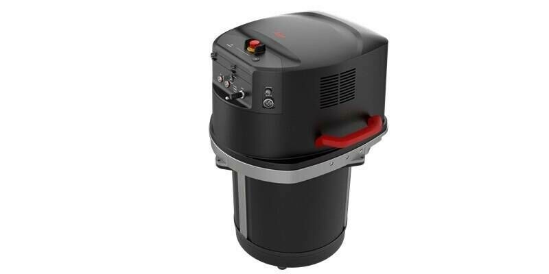
24th September 2024
New single photon LiDAR technology boosts the efficiency of large-area airborne mapping projects
23rd September 2024
RIEGL Presentations & Co-Exhibitors During INTERGEO 2024 – See you in Stuttgart!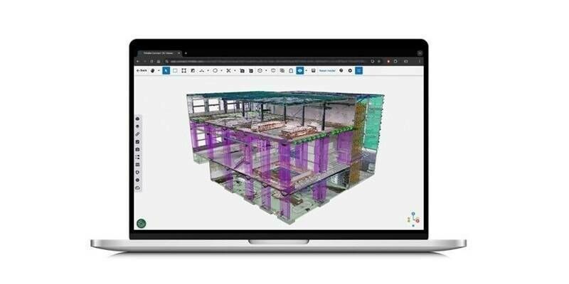
16th September 2024
New Reality Capture Platform Service Leverages Trimble Connect to Maximize the Value of Geospatial Data for Millions of Users
13th September 2024
Creaform to Unveil Innovative QC Technologies at EuroBLECH 2024
11th September 2024
NavVis redefines handheld reality capture with the launch of NavVis MLX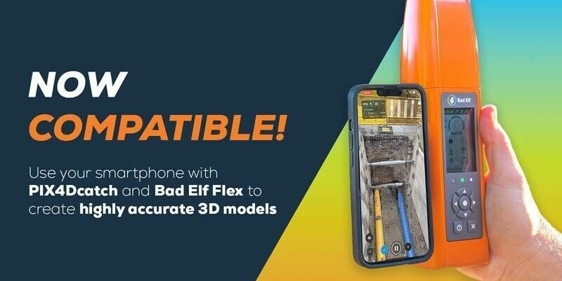
4th September 2024
Pix4D and Bad Elf collaborate to offer advanced 3D scanning for AEC professionals
30th August 2024
Viva Las Vegas! RIEGL is Exhibiting at Commercial UAV 2024
26th August 2024
Drone-based magnetometry helps in search to solve the Amelia Earhart mystery
26th August 2024
Advanced LiDAR Technology for Sustainable Development and Environmental Stewardship
31st July 2024
Topocart maps Brazil’s expanding cities using Teledyne Galaxy PRIME+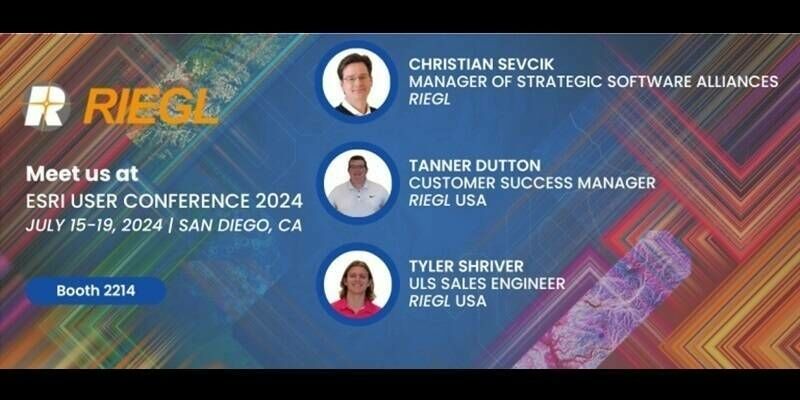
16th July 2024
Riegl Is Exhibiting At The 2024 Esri User Conference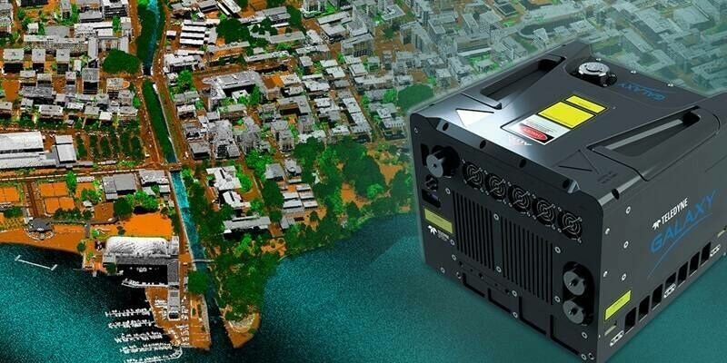
12th July 2024
Teledyne Geospatial unveils super resolution airborne lidar with edge computing
10th July 2024
Teledyne’s high-speed, high-resolution Contact Image Sensors are now available in color
28th June 2024
Innoviz Technologies and Major OEM Collaborate on New Short-Range LiDAR for L4 Autonomous Vehicles
26th June 2024
Lights, Camera, Action: Leap3D and the RIEGL VZ-400i for the Visual Effects (VFX) Industry
19th June 2024
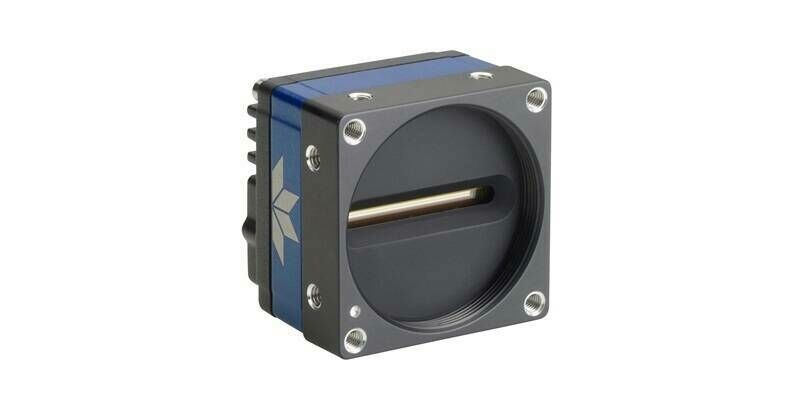
Teledyne’s new 8k super resolution GigE Vision line scan camera is in production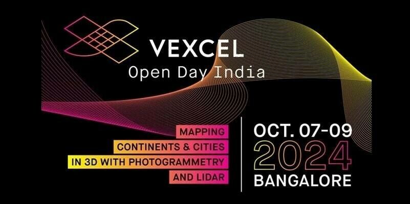
13th June 2024
Vexcel Open Day India: Mapping Continents & Cities in 3D with Photogrammetry and LiDAR

24th April 2024
RIEGL Webinar Announcement: An Amazing LiDAR Expedition to Alcatraz – Through the Eyes of RIEGL Technology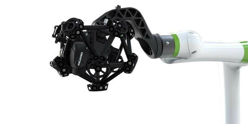
17th April 2024
Creaform Is Making Automated Quality Control Accessible with a New, Versatile and Intuitive Hybrid Solution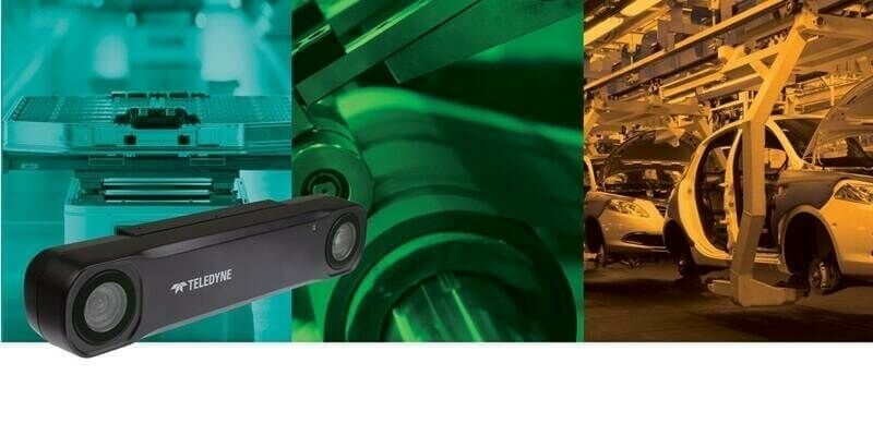
17th April 2024
Teledyne FLIR IIS announces a new stereo vision product for high accuracy robotics applications
16th April 2024
From tape measures to space lasers: Quantifying biomass of the world's tallest forests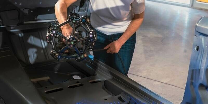
10th April 2024
Creaform introduces the MetraSCAN BLACK+ and MetraSCAN BLACK+|Elite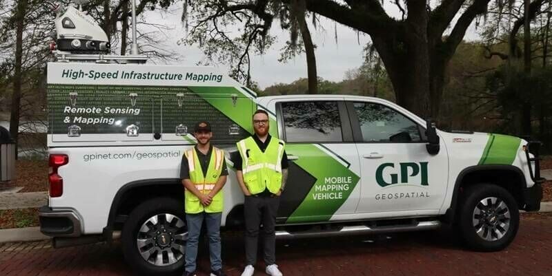
3rd April 2024
GPI Geospatial Enhancing Mobile Mapping with RIEGL LiDAR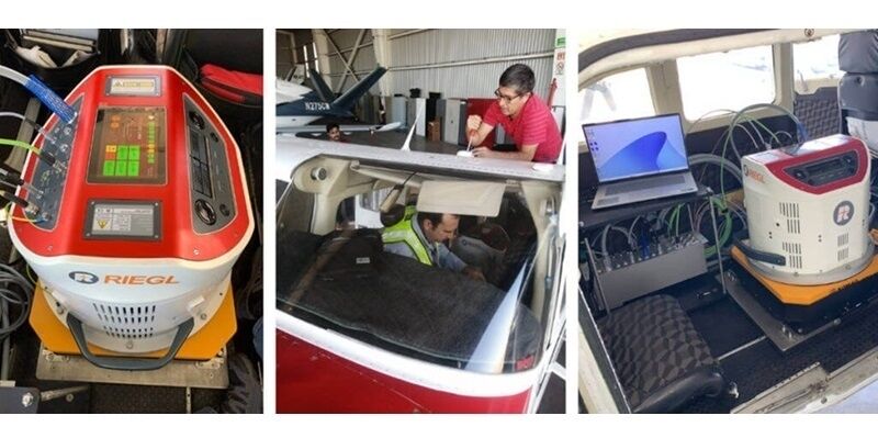
19th March 2024
CartoData Receives the First North American Delivery of a RIEGL VQ-1460
18th March 2024
RIEGL Announces the Opening of a New International Office in Munich, Germany
14th March 2024
Unveiling understory saplings with advanced airborne LiDAR technology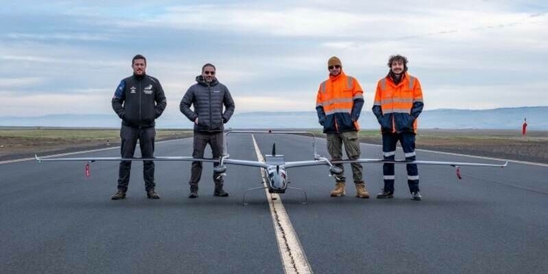
11th March 2024
Carbonix, RIEGL, Phase One announce first fixed-wing VTOL integration of long-range dual sensor System
1st March 2024
Leica Geosystems unveils Leica TerrainMapper-3, the all-in-one sensor for versatile airborne LiDAR mapping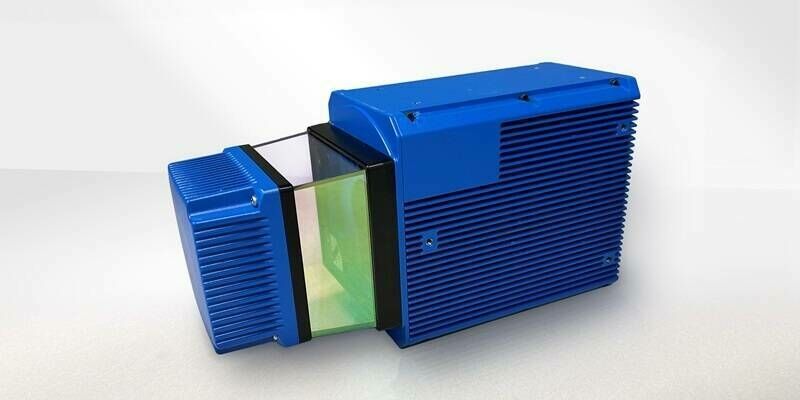
1st March 2024
Teledyne Geospatial to bring new Optech hardware and CARIS software solutions to Oceanology International 2024