Share
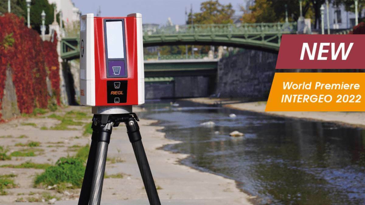
RIEGL’s new era of Terrestrial Laser Scanners: the VZ-600i stands out with extreme versatility, high productivity, radical performance, and game changing mobility features.
With 3D position accuracy of 3 mm and less than 30 sec scan time for high-resolution scans with 6 mm point spacing at 10 m, this enables more than 60 scan positions/hour with real-time registration. Featuring a weight less than 6 kg (13 lbs), 2.2 MHZ PRR, three internal cameras & GNSS integrated, and prepared for mobile mapping applications. These key features will speed up your workflow in indoor and outdoor applications like AEC (Architecture, Engineering, Construction), BIM (Building Information Modeling), as-built surveying, forensic and crash scene investigation, archeology & cultural heritage documentation, forestry, and many more.
Subscribe to our newsletter
Stay updated on the latest technology, innovation product arrivals and exciting offers to your inbox.
Newsletter

