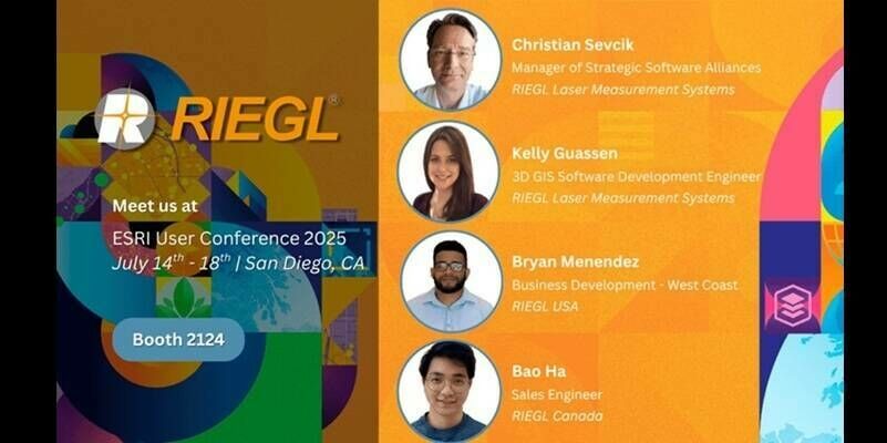
RIEGL Is Exhibiting at the 2025 Esri User Conference
10th July 2025
RIEGL Is Exhibiting at the 2025 Esri User ConferenceTerrestrial and airborne laser (LiDAR) scanners for the collection of 3D point cloud data; software for processing and visualising point clouds and creating 3D models, and use cases for laser scanning
This topic covers the science, the hardware, and the software used to capture, process and apply 3D point cloud data. As well as airborne and terrestrial (tripod-based, vehicle-mounted and handheld) laser (LiDAR) scanners, the topic includes the proprietary and Open Source software employed to process point clouds and create 3D models. It also covers the many and varied uses for 3D laser scanning: topographic mapping, bathymetric mapping, utility mapping, engineering surveying, agriculture, forestry, geology, architecture, industrial facilities, cultural heritage, asset management and construction, collision avoidance in autonomous and semi-autonomous vehicles, and environmental modelling
10th July 2025
RIEGL Is Exhibiting at the 2025 Esri User Conference
9th July 2025
Innoviz Technologies Ships First InnovizTwo LiDAR Units from Fabrinet’s High-Volume Production Line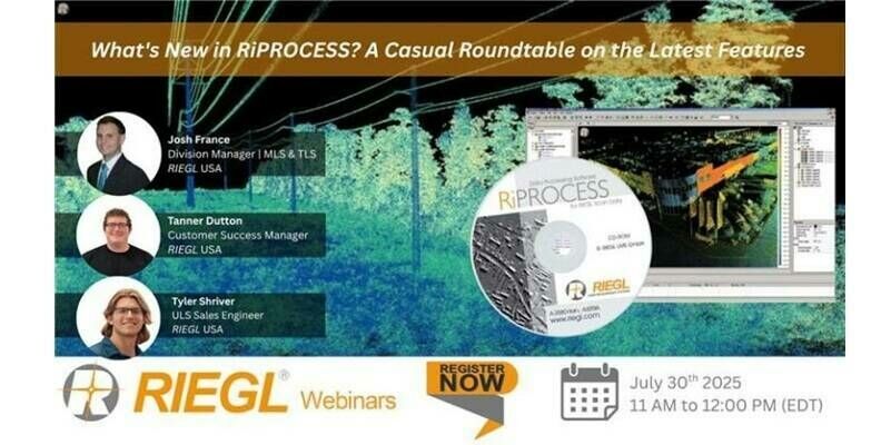
3rd July 2025
RIEGL Webinar Announcement: What’s New in RiPROCESS? A Casual Roundtable on the Latest Features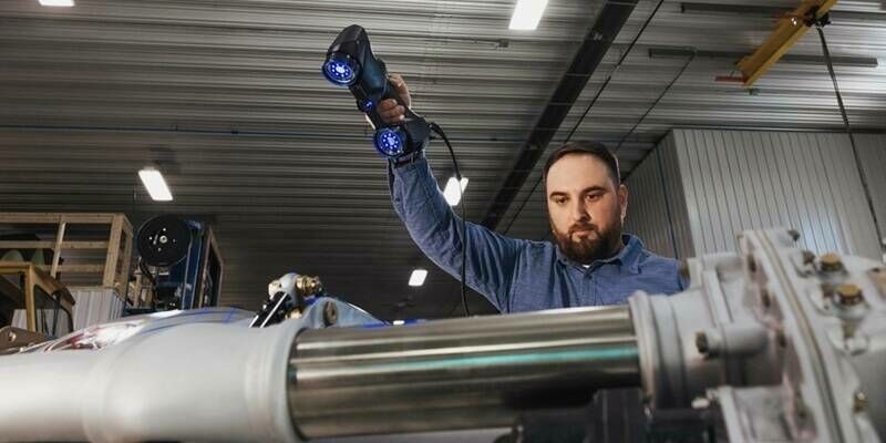
2nd July 2025
Creaform Showcases Cutting-Edge 3D Scanning Solutions at EMO 2025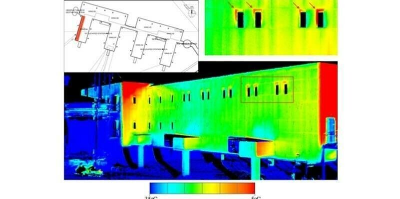
24th June 2025
RIEGL LiDAR Technology Utilized in U.S. Antarctic Research Projects to Support Thermographic Analysis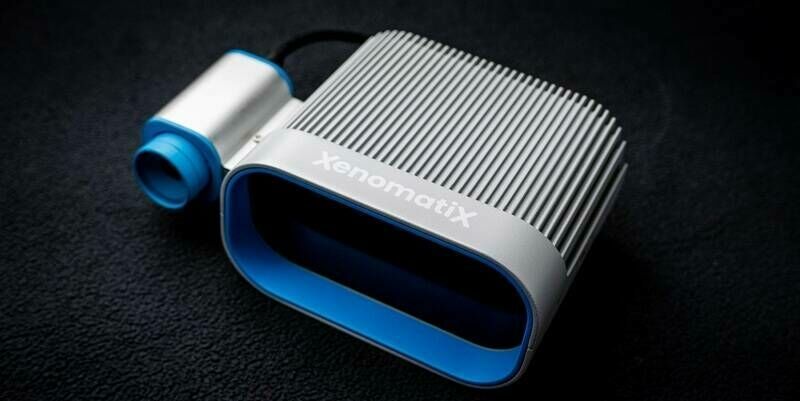
18th June 2025
XenomatiX Unveils Its Most Advanced Solid-State LiDAR Yet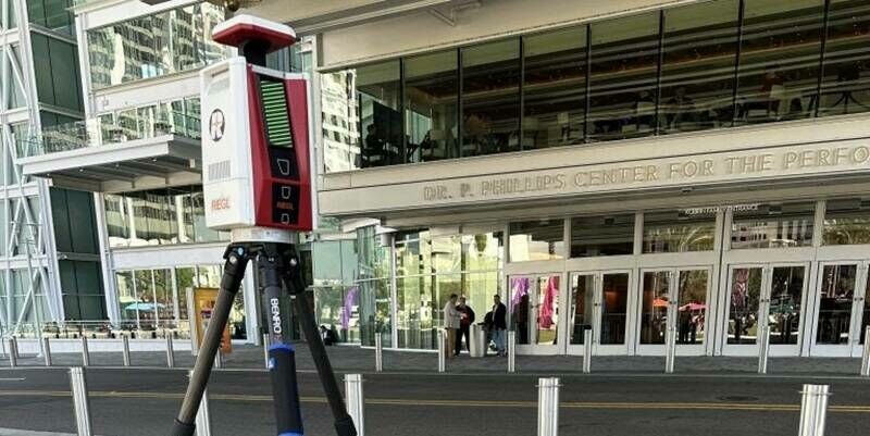
10th June 2025
Reality Captured: RIEGL Showcases the Future of 3D Innovation at R-CON Orlando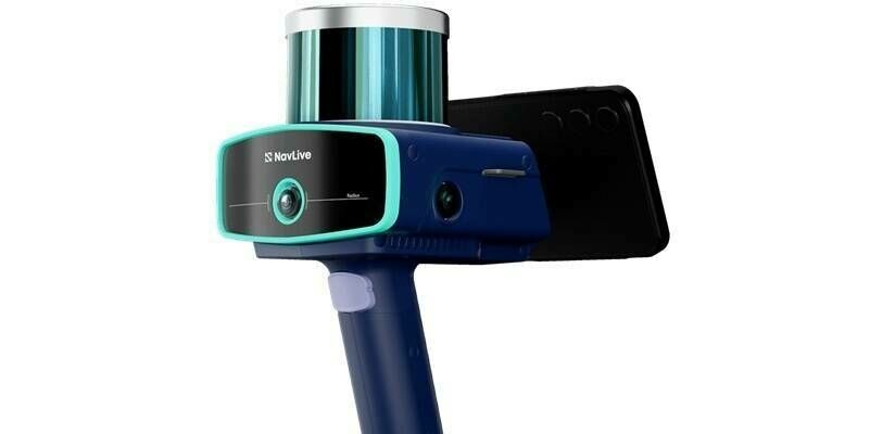
6th June 2025
NavLive secures £4m of funding to transform architecture and construction industry with AI-powered scanner to create surveys in real time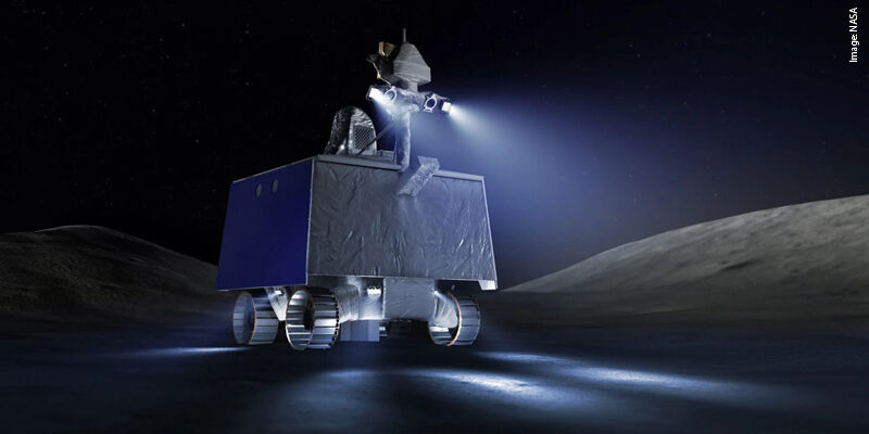
31st May 2025
From touchdown to route finding: NASA tests the options
29th May 2025
RIEGL Honored with Innovation Vanguard Award for Payload Technology by Inside Unmanned Systems at AUVSI XPONENTIAL 2025
22nd May 2025
Seyond Showcases LiDAR Sensor Fusion at the ADAS & Autonomous Vehicle Technology Expo 2025 in Stuttgart
19th May 2025
Cutting-edge technology adopted at PML for underwater mapping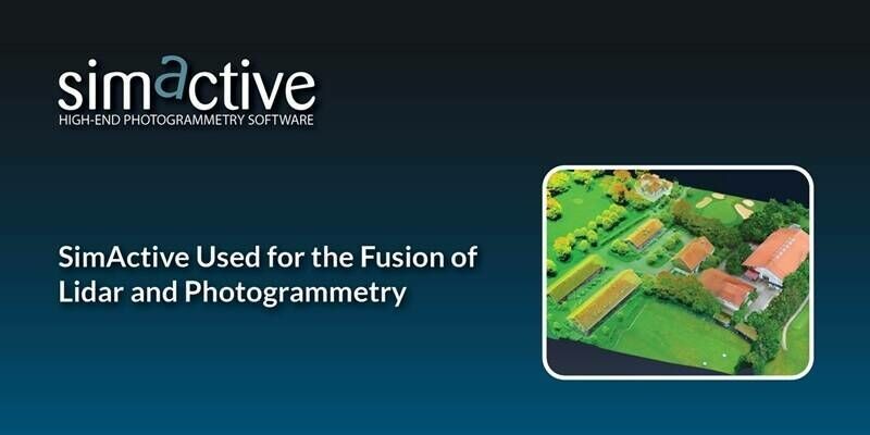
13th May 2025
SimActive Used for the Fusion of Lidar and Photogrammetry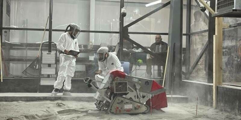
12th May 2025
To the Moon and Beyond: RIEGL USA, Allen & Company, NASA, and UCF Team Up for the Second Year in the 2025 Lunabotics Challenge
11th May 2025
RIEGL VZ-i Series Kinematic App: Mobilize your terrestrial laser scanner!
7th May 2025
RIEGL Webinar Announcement: RIEGL MLS Workflow Updates and Training Tips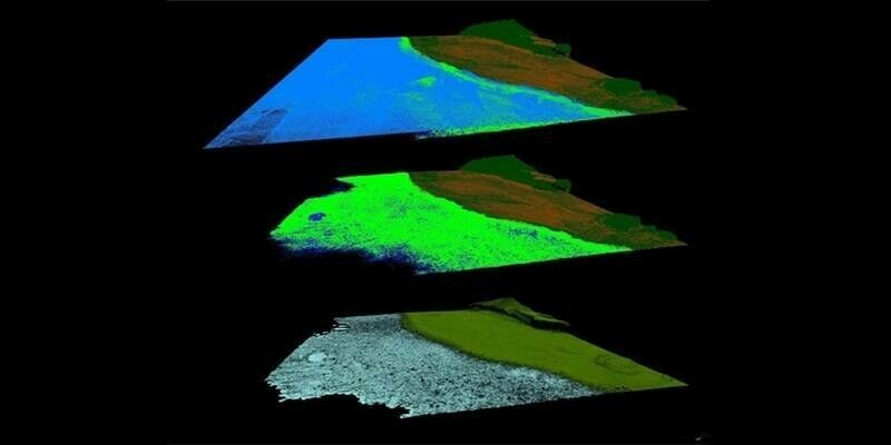
1st May 2025
Protecting the Unseen: Non-Invasive Seabed and Coral Reef Mapping with RIEGL Aerial Bathymetric LiDAR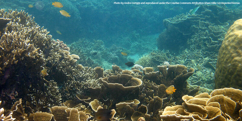

22nd April 2025
Dallas Fort Worth Airport Selects Outsight for Large-Scale LiDAR Deployment in Major Contract
17th April 2025
Topcon launches CR-H1 handheld reality capture solution for maximum mobility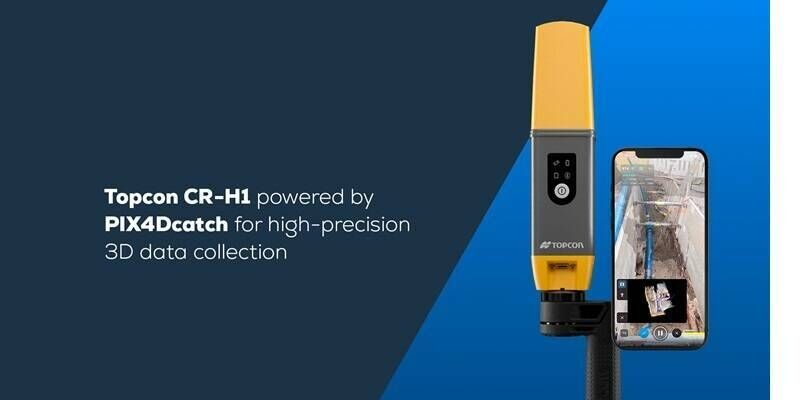
16th April 2025
PIX4Dcatch is an integral component of Topcon’s newest handheld scanning solution, the CR-H1, designed for accurate reality capture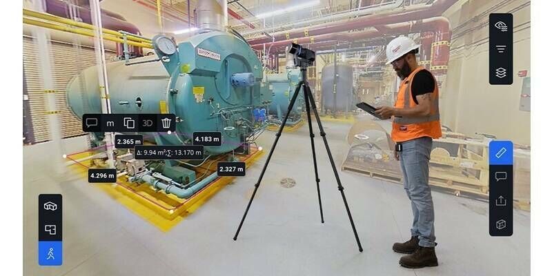
16th April 2025
Introducing Blink by FARO Technologies: Reality Capture Reimagined with Stunning Visuals, Automated Workflows and One Touch Insights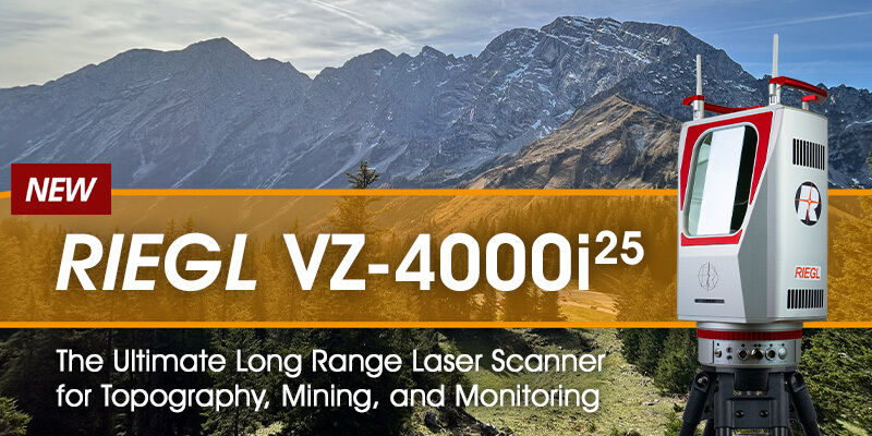
14th April 2025
RIEGL VZ-4000i-25: The Ultimate Long Range Scanner for Topography, Mining & Monitoring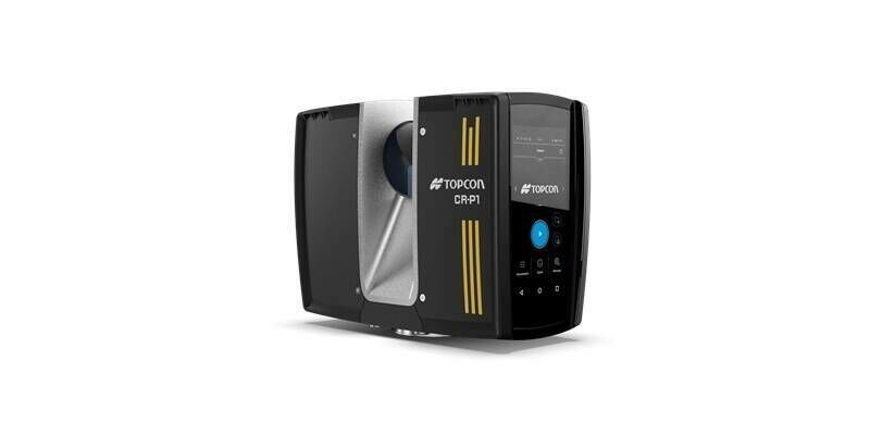
9th April 2025
Topcon introduces solutions for 3D mass data workflows
9th April 2025
Seyond and Reykjafell Partner to Bring Seyond’s ITS Management Platform to Iceland
7th April 2025
Visimind AB Becomes Official Distributor of Hesai’s Cutting-Edge LiDAR Sensors in Europe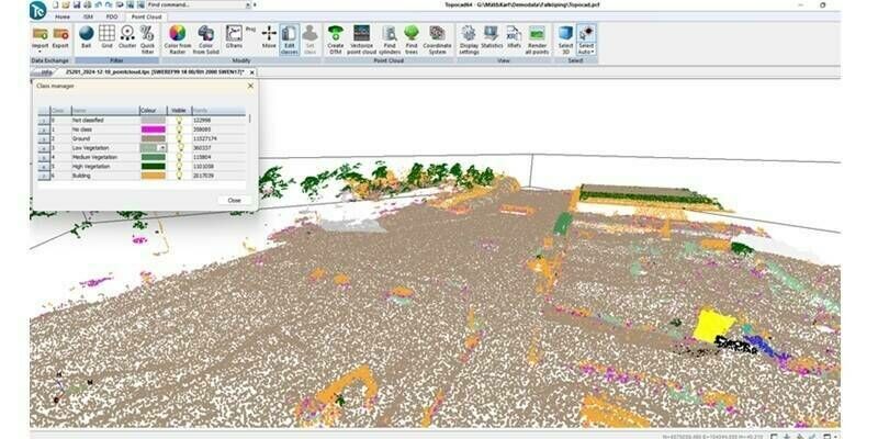
7th April 2025
Topocad 25 – Packed with innovation and exciting new features
26th March 2025
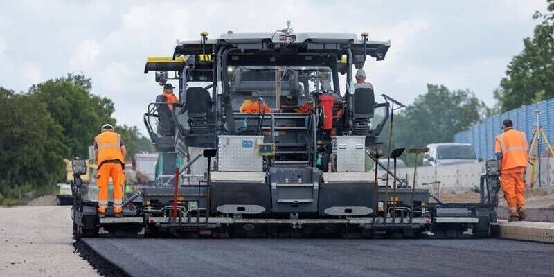
Topcon expands road construction technology portfolio with new workflow solutions for scanning, paving, and compaction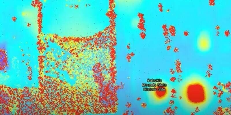
24th March 2025
RIEGL’s Cutting-Edge Technology Unveils Ancient Secrets at Cahokia Mounds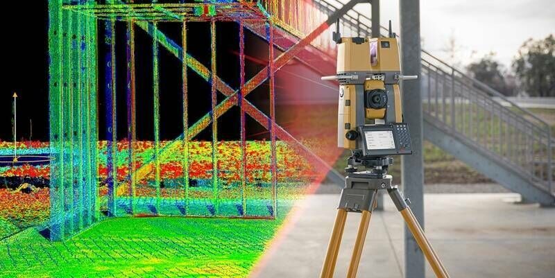
21st March 2025
Topcon to showcase new construction technology solutions at Bauma 2025 in Munich
20th March 2025
AISPECO and Teledyne Geospatial present an innovative airborne asset management solution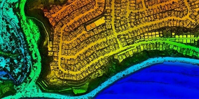
10th March 2025
NV5 Geospatial and USGS Release High-Resolution LiDAR Data of Palisades and Eaton Fire Burn Areas Collected with RIEGL Technology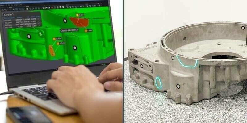
6th March 2025
Creaform Introduces the Laser Projection Add-on to Its Dimensional Inspection Solutions
5th March 2025
Unlocking the secrets of ancient trees with RIEGL Terrestrial LiDAR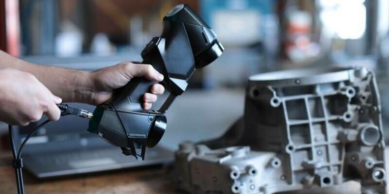
28th February 2025
Creaform Introduces the Pro version of its Scan-to-CAD Application Module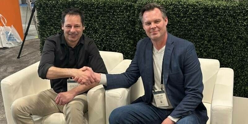
27th February 2025
Eagle Mapping Celebrates 40 Years in Business and Acquires 10th RIEGL Sensor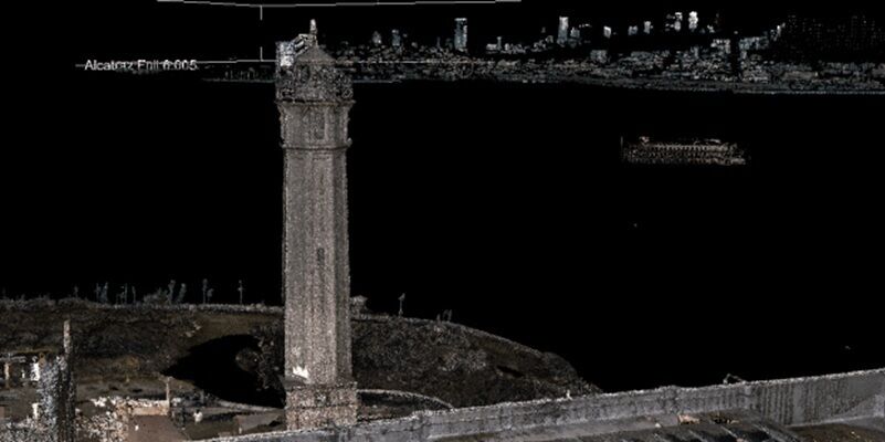
23rd February 2025
RIEGL Technology Unveils Stunning LiDAR Expedition of Alcatraz at Geo Week 2025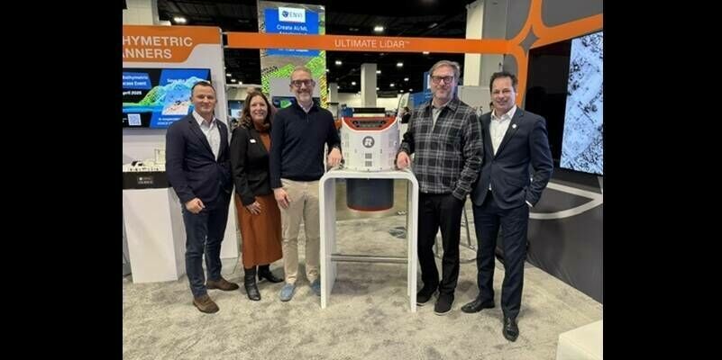
21st February 2025
Aero-Graphics Enhances Capabilities with Acquisition of RIEGL’s Latest VQ-1560 III-S Airborne Laser Scanner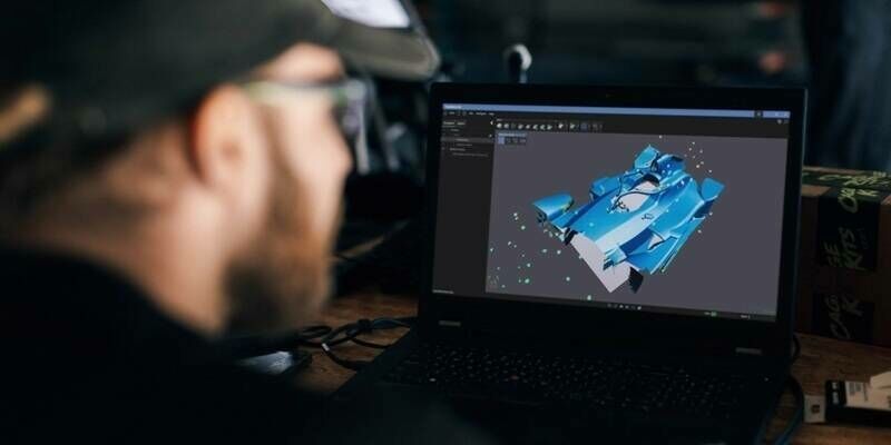
21st February 2025
Creaform Releases Creaform.OS and the Creaform Metrology Suite for the Ultimate User Experience (UX)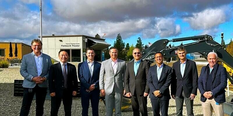
19th February 2025
Topcon and FARO Technologies announce strategic agreement in laser scanning technology
13th February 2025
RIEGL @ AUVSI XPONENTIAL Europe in Düsseldorf, Germany
11th February 2025
RIEGL UK to host Heritage Geospatial Symposium in York
5th February 2025
New Leica CoastalMapper LiDAR sensor significantly speeds up airborne bathymetric mapping
28th January 2025
Teledyne Geospatial to showcase extensive range of lidar solutions at Geo Week
14th January 2025
RIEGL USA to Participate in a Plenary Panel at GeoBuiz 2025
9th January 2025
RIEGL USA to Exhibit Cutting-Edge LiDAR Technology at CES 2025
9th January 2025
Creaform Redefines Online Experience with a New Website