Share
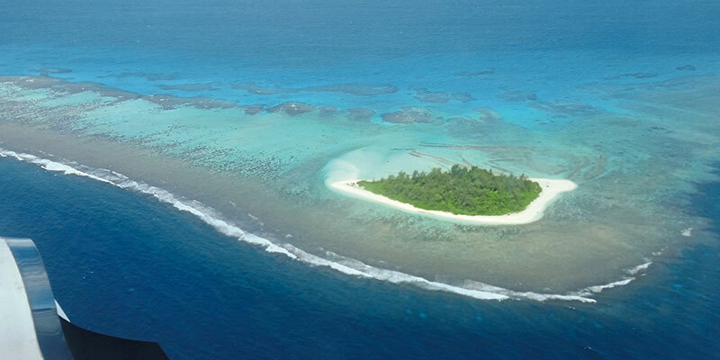
Working with the National Maritime Safety Authority (NMSA) and with funding from the Asia Development Bank (ADB), Fugro has completed a hydrographic survey to determine a safe channel through the Star Reef Passage. That will be used to support updated nautical charting and improved coastal zone management. The project is a key initiative contributing to Papua New Guinea’s sustainable economic development. To accomplish the work, the Fugro LADS HD+ Airborne Lidar Bathymetry (ALB) system was deployed with a team of surveyors from both the NMSA and Fugro working in collaboration. Fugro’s ALB system meets International Hydrographic Organization (IHO) standards with the data now set to be used to update nautical charts. The data was collected safely and with minimal environmental impact on the sensitive reef environment or local marine activity. www.fugro.com


