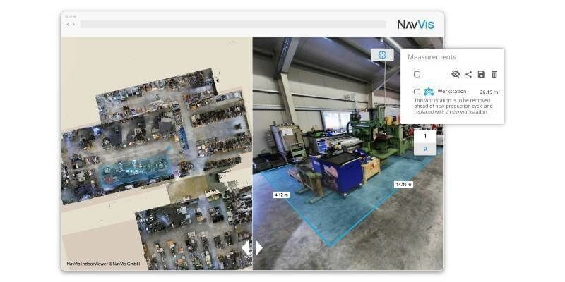
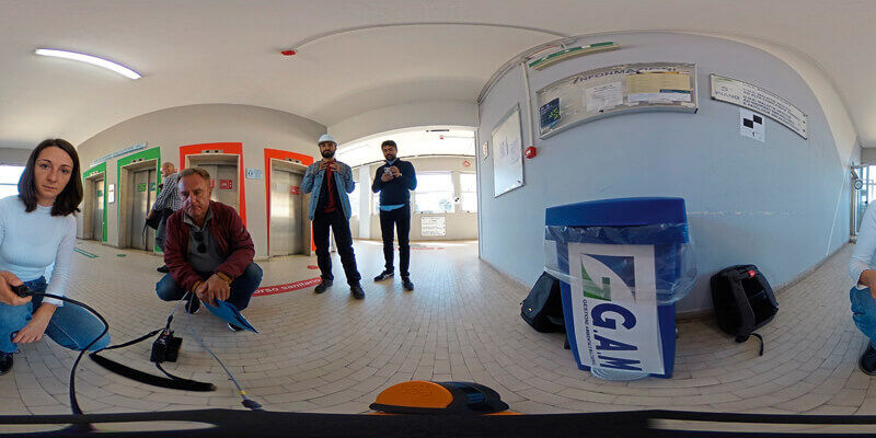
NavVis IndoorViewer 2.7: Taking the next step towards seamless virtual planning and communication
30th July 2020
NavVis IndoorViewer 2.7: Taking the next step towards seamless virtual planning and communicationTerrestrial and airborne laser (LiDAR) scanners for the collection of 3D point cloud data; software for processing and visualising point clouds and creating 3D models, and use cases for laser scanning
This topic covers the science, the hardware, and the software used to capture, process and apply 3D point cloud data. As well as airborne and terrestrial (tripod-based, vehicle-mounted and handheld) laser (LiDAR) scanners, the topic includes the proprietary and Open Source software employed to process point clouds and create 3D models. It also covers the many and varied uses for 3D laser scanning: topographic mapping, bathymetric mapping, utility mapping, engineering surveying, agriculture, forestry, geology, architecture, industrial facilities, cultural heritage, asset management and construction, collision avoidance in autonomous and semi-autonomous vehicles, and environmental modelling
30th July 2020
NavVis IndoorViewer 2.7: Taking the next step towards seamless virtual planning and communication
28th July 2020
Riegl Provides High Performance With 3d Laser Scanning Technology For Hlr
27th July 2020
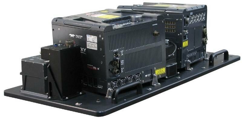
Gpi Geospatial Expands Airborne Lidar Acquisition Services Through Addition Of Riegl Vq-1560 Ii Ultra High-Performance System
24th July 2020
10 Years Of Success With The Vmx: The Past Meets The Future- An Interview With An Early Mobile Scanner, Craig Sheriff
24th July 2020
GeoCue’s True View Awarded ILMF “Outstanding Innovation in LIDAR”

23rd July 2020
Terrestrial Laser Scanning With Real-Time Data Analytics For Avalanche Forecasting
17th July 2020
Leica Geosystems BLK247 Wins Security Industry Association’s Best New Product Award
15th July 2020
Road Trips With Josh And The Vmx: Indianapolis Or Bust
14th July 2020
Join Riegl At Their Virtual Booth At The Esri User Conference 2020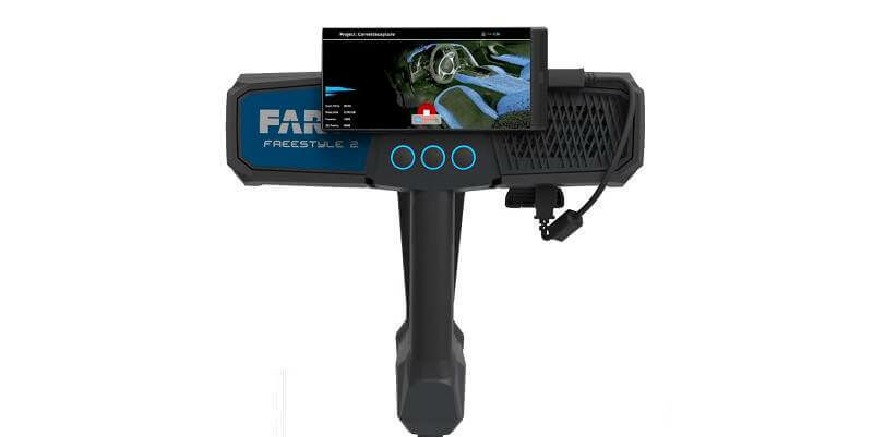
13th July 2020
Faro Launches Freestyle 2 Portable 3d Scanner
13th July 2020
Explore Riegl’s Broad Portfolio Of Point Cloud Samples In Potree
10th July 2020
Parrot and Hoverseen partner to offer drone-in-a-box surveillance and inspection solutions
9th July 2020
Recordings Are Now Available For Riegl Ultimate Lidar June Webinar Series
6th July 2020
Intergeo 2020: 100 percent digital with a real network atmosphere
2nd July 2020
Pointfuse and Leica Geosystems announce a new software and global cooperation
1st July 2020
RoboSense Smart LiDAR Sensor Wins the 2020 Edison Awards
1st July 2020
Riegl Usa Construction Update Website, Ultimatelidar.Com, Is Live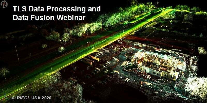
25th June 2020
RIEGL NEWS: Webinar on Data Fusion scheduled for Tuesday, June 30, 2020
24th June 2020
Creaform announces the release of the brand-new MetraSCAN BLACK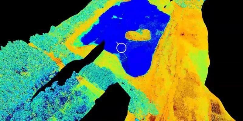
23rd June 2020
New Riegl Bathymetry Scanner Videos (In Spanish And Portuguese)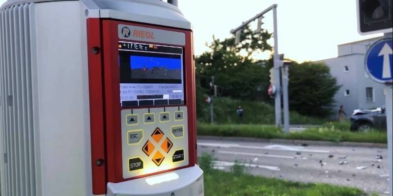
19th June 2020
Zurich City Police In Switzerland Using Riegl Scanners For Crash Scene Investigation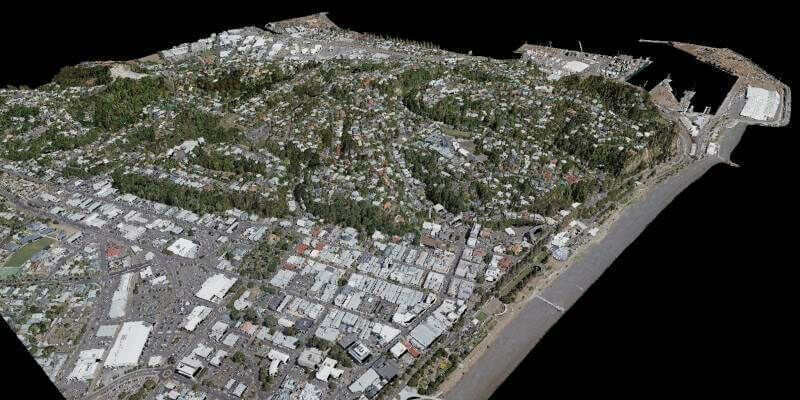
18th June 2020
iXblue, Woolpert partner to deliver LiDAR mapping services to New Zealand Councils
11th June 2020
Co-Located Events AEC Next, SPAR 3D, and Geo Week Pivot to Virtual Content Series for 2020
10th June 2020
OGI selects iXblue FOG INS for new mobile mapping lidar solution
8th June 2020
Recordings Are Now Available For Riegl Ultimate Lidar May Webinar Series
3rd June 2020
Riegl Ricast: Josh France Interviews Longtime Vmx User, Joe Feyder Of Rey Engineers
1st June 2020
How to Share and Visualize Drone Projects in the Cloud
29th May 2020
Riegl Ricast Podcast Goes Global: Now Available From Your Favorite App Stores
28th May 2020
Spie Defense + Commercial Sensing Digital Forum 2020: Riegl’s Scientific Presentations Now Online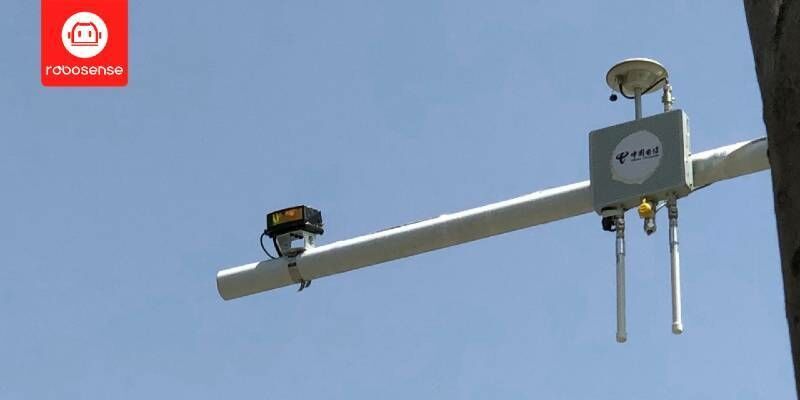
26th May 2020
RoboSense LiDAR Partnered With DT Mobile On Vehicle-to-Infrastructure (V2I) Cooperation For Smart City
25th May 2020
Free RIEGL Webinars in week 22: Get a deeper insight into RIEGL's Ultimate LiDAR Technology
18th May 2020
Teledyne Optech partners with Aerial Surveys International to provide hyper-realistic mapping solution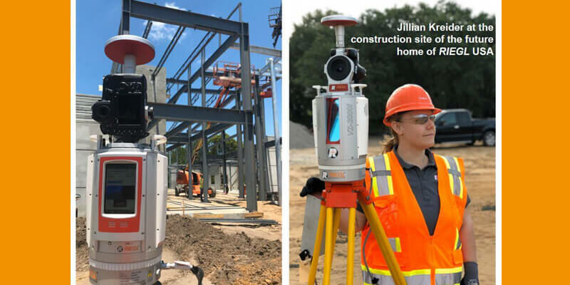
15th May 2020
Register for the RIEGL webinar "LiDAR for Vertical Construction"
14th May 2020
Pointfuse and Leica Geosystems announce a new software and global cooperation
13th May 2020
Launch of NavVis VLX readies mobile mapping for mainstream use in surveying by delivering unprecedented data quality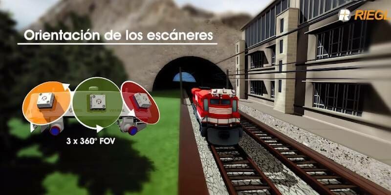
13th May 2020
The Riegl VMX-RAIL triple scanner mobile mapping system
12th May 2020
RIEGL ultimate LiDAR webinar series - May 2020
8th May 2020
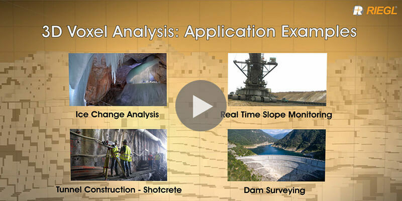
Riegl's new 3D Voxel Analysis Tool within RiSCAN Pro
24th April 2020
RIEGL’s Combining Terrestrial and UAV-borne Scan Data in an Archeology Application
3rd April 2020
Events Rescheduled & Will Take Place Together July 27-29, 2020