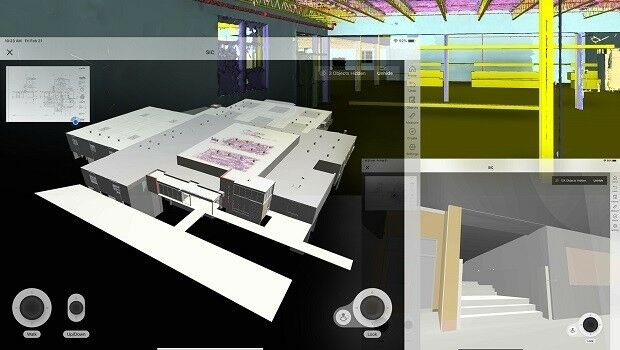
Pointfuse Laser Scanning Software Innovates Construction Workflows for Shockey
2nd April 2020
Pointfuse Laser Scanning Software Innovates Construction Workflows for ShockeyTerrestrial and airborne laser (LiDAR) scanners for the collection of 3D point cloud data; software for processing and visualising point clouds and creating 3D models, and use cases for laser scanning
This topic covers the science, the hardware, and the software used to capture, process and apply 3D point cloud data. As well as airborne and terrestrial (tripod-based, vehicle-mounted and handheld) laser (LiDAR) scanners, the topic includes the proprietary and Open Source software employed to process point clouds and create 3D models. It also covers the many and varied uses for 3D laser scanning: topographic mapping, bathymetric mapping, utility mapping, engineering surveying, agriculture, forestry, geology, architecture, industrial facilities, cultural heritage, asset management and construction, collision avoidance in autonomous and semi-autonomous vehicles, and environmental modelling
2nd April 2020
Pointfuse Laser Scanning Software Innovates Construction Workflows for Shockey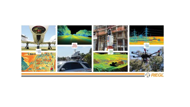
20th March 2020
RIEGL USA’s Virtual LiDAR Conference Agenda is Live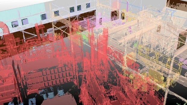
5th March 2020
Pointfuse Laser Scanning Software Helps Hatch Transform Infrastructure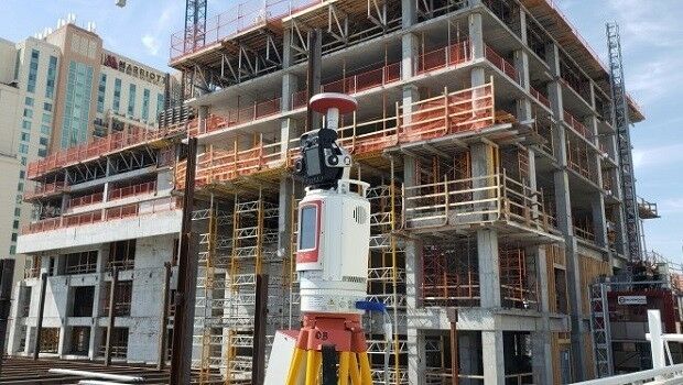
4th March 2020
RIEGL TO EXHIBIT AND ATTEND AT CONEXPO-CON / AGG 2020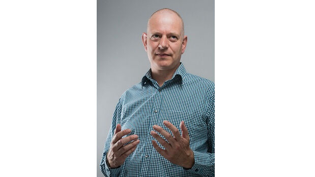
2nd March 2020
Ecometrica to provide platform for NASA’s latest Earth images
27th February 2020
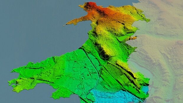
Bluesky Awarded LiDAR Contract to Map Wales from the Air
23rd February 2020
RIEGL will be Attending and Exhibiting at CHC 2020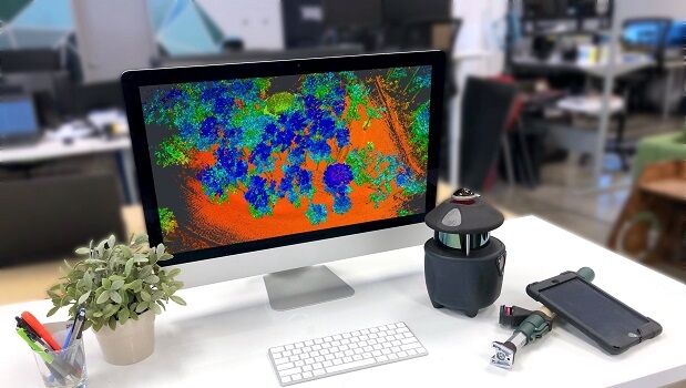
21st February 2020
Paracosm Partners with Geo-Plus to Expand Land Survey Offerings
21st February 2020
APEI first to purchase Leica CityMapper-2
20th February 2020
RIEGL will be Attending and Exhibiting at IAFSM 2020
20th February 2020
International Lidar Mapping Forum Announces New Keynotes
5th February 2020
SmartProcessing Lidar 1.2 software release
26th January 2020
RIEGL Wins the Member Choice Award at 2020 MAPPS Winter Conference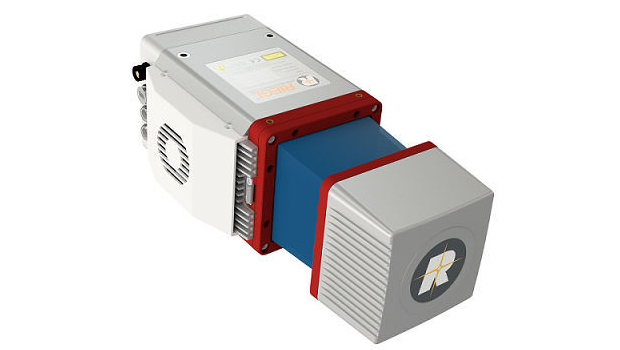
21st January 2020
Riegl announces GeoCue Group OEM Partnership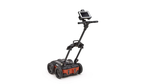

16th January 2020
ILMF Announces First Keynote of 2020 Conference Program
16th January 2020
Quantum Spatial purchases Riegl VQ-1560 II Systems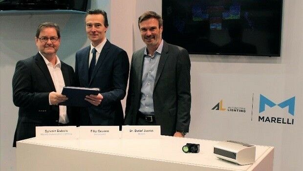
12th January 2020
A joint development agreement for LiDAR solutions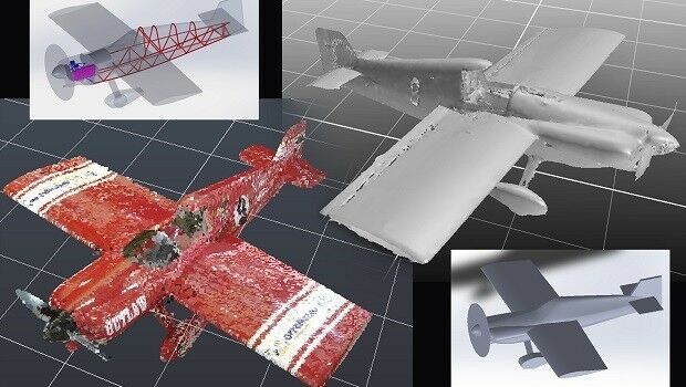
10th January 2020
Pointfuse Laser Scanning Software Powers Design of Formula One E-Racer Plane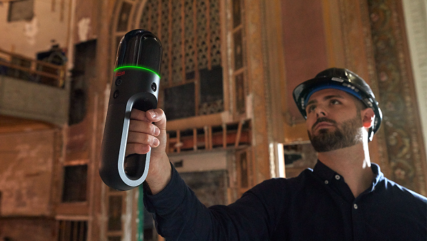
9th January 2020
Leica BLK247 and BLK2GO recognised in 2020 CES Innovation Awards

8th January 2020
RIEGL Will be Attending and Exhibiting at TRB 2020

3rd January 2020
Bosch completes sensor portfolio for automated driving
11th December 2019
Bluesky Adds to International Aerial Archive with 2019 Flying Success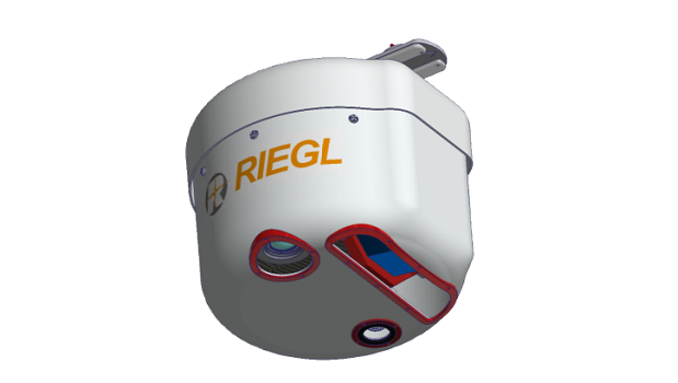
11th December 2019
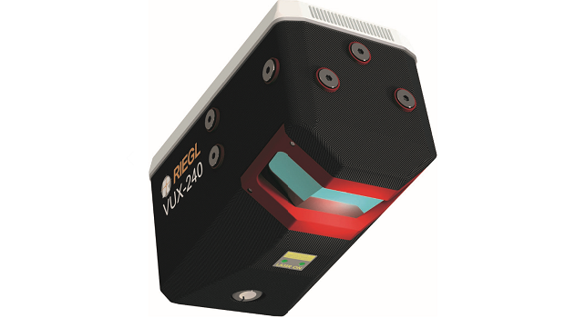
Riegl introduces new integrated VP-1 Helicopter Pod with VUX-240 Airborne Scanner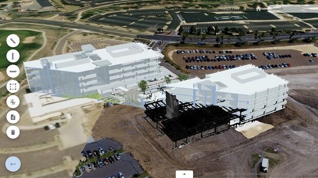
10th December 2019
Trimble Clarity: Free Point Cloud Viewer
4th December 2019
RIEGL will be attending and exhibiting at AGU 2019
3rd December 2019
Getmapping partners with 3D Visualisation Technology Leaders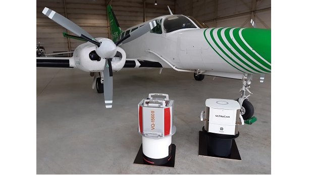
28th November 2019
EUROSENSE expands its mapping capabilities
28th November 2019
Bluesky Launches MetroVista 3D City Mapping Service in US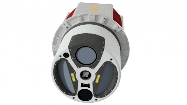
25th November 2019
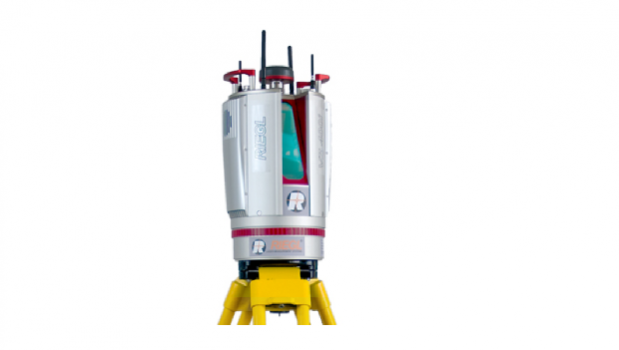
RIEGL Introduces New LiDAR Instrument: The VQ-1560 II
25th November 2019
How to Effectively Combine LiDAR Data with Imagery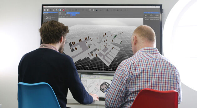
21st November 2019
Pointfuse Launches Simple BIM Solution for Facilities Management
21st November 2019
MGISS Ranked Fourth in North West Tech 50
18th November 2019
Orbit GT and Getmapping Plc, UK, sign Reseller Agreement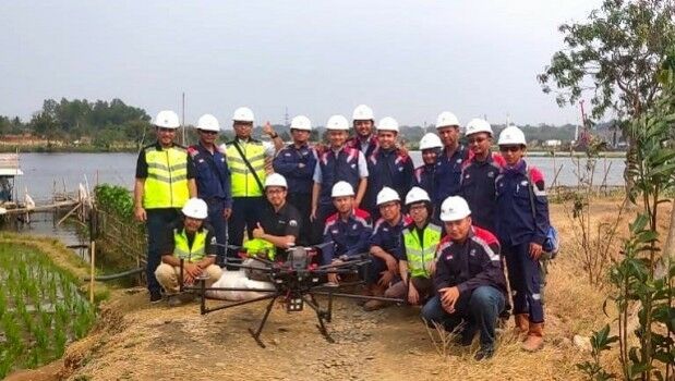
15th November 2019
Terra Drone Indonesia demonstrates Terra Lidar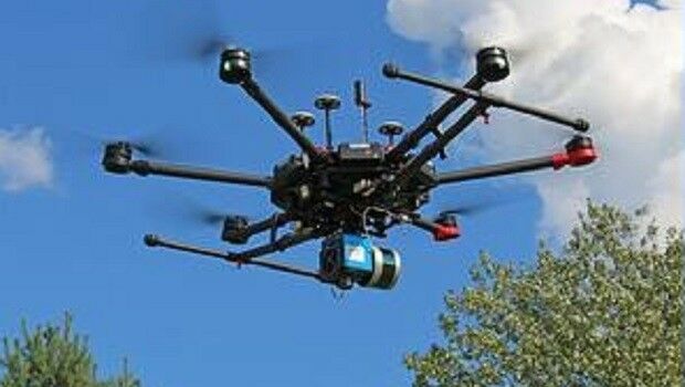
14th November 2019
Hyperspectral Remote-Sensing Center in Europe
14th November 2019
Orbit GT and MaxOn Map, Brazil, sign Reseller Agreement
13th November 2019
RIEGL to attend and exhibit at Autodesk University 2019
12th November 2019
USGS Releases New Lidar Base Specification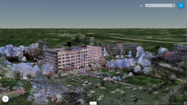
8th November 2019
Trimble Clarity Now Offered as Web Application for Point Clouds and 3D Models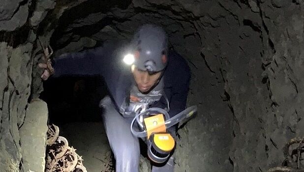
5th November 2019
Virginia Tech Uses GeoSLAM Mobile Scanner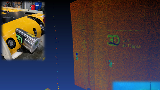
4th November 2019
3D at Depth Demonstrates Asset Integrity Solution for Life of Field Digital Twin Capability