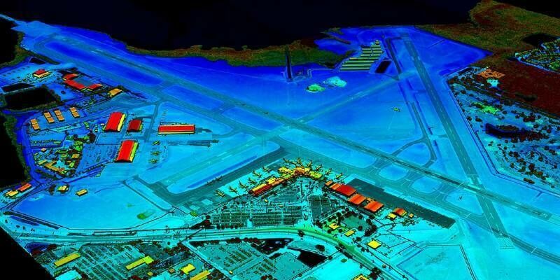
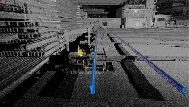
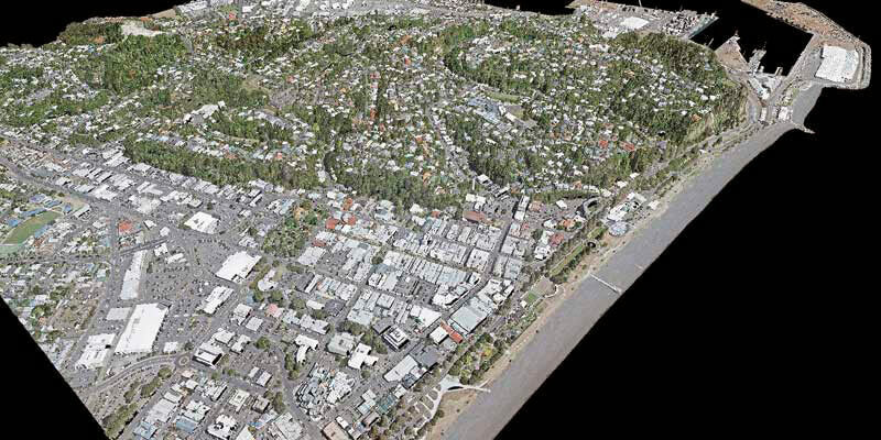
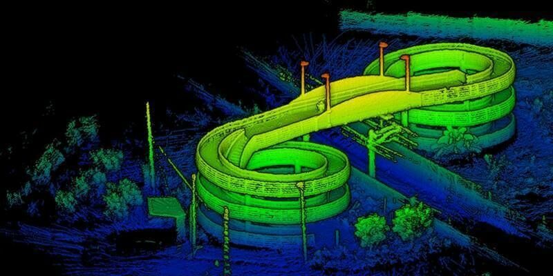
VeriDaaS Plans Statewide California LiDAR Mapping Project in Spring 2021 for Public and Private Customers
23rd October 2020
VeriDaaS Plans Statewide California LiDAR Mapping Project in Spring 2021 for Public and Private CustomersTerrestrial and airborne laser (LiDAR) scanners for the collection of 3D point cloud data; software for processing and visualising point clouds and creating 3D models, and use cases for laser scanning
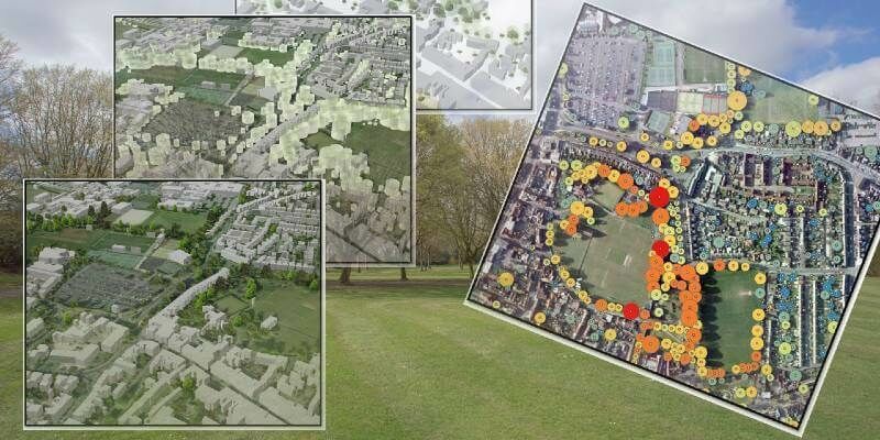
This topic covers the science, the hardware, and the software used to capture, process and apply 3D point cloud data. As well as airborne and terrestrial (tripod-based, vehicle-mounted and handheld) laser (LiDAR) scanners, the topic includes the proprietary and Open Source software employed to process point clouds and create 3D models. It also covers the many and varied uses for 3D laser scanning: topographic mapping, bathymetric mapping, utility mapping, engineering surveying, agriculture, forestry, geology, architecture, industrial facilities, cultural heritage, asset management and construction, collision avoidance in autonomous and semi-autonomous vehicles, and environmental modelling
23rd October 2020
VeriDaaS Plans Statewide California LiDAR Mapping Project in Spring 2021 for Public and Private Customers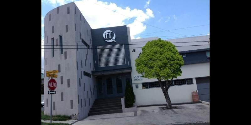
23rd October 2020
RIEGL’s Market Presence Expands Through Distribution Partnership in Mexico with TTQ de Monterrey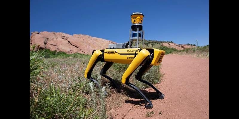
21st October 2020
Trimble and Boston Dynamics Announce Strategic Alliance to Extend the Use of Autonomous Robots in Construction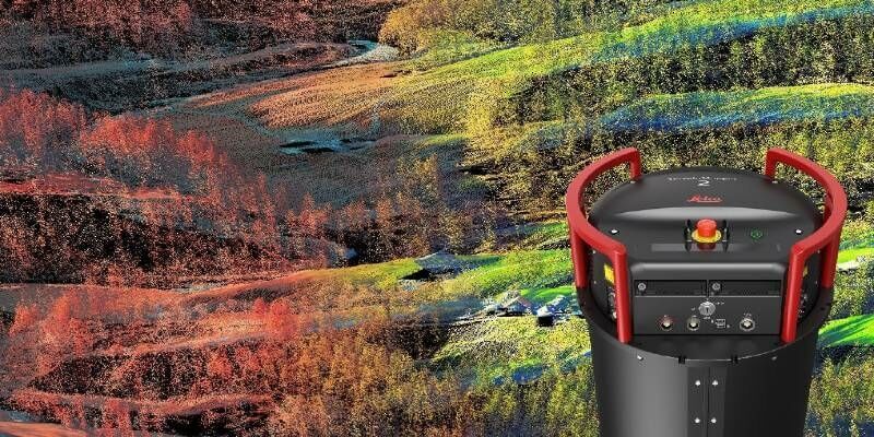
14th October 2020
Leica Geosystems continues airborne hybrid road map with latest modular sensor offering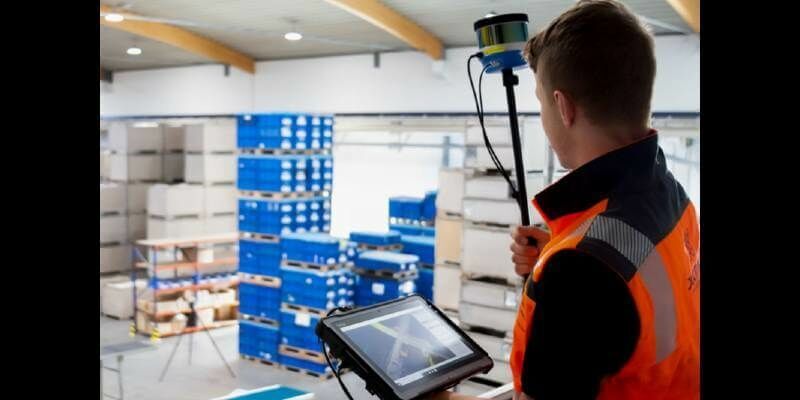
12th October 2020
Bluesky Funds University of Leicester Study into use of LiDAR for Detailed Tree Analysis
7th October 2020
Recordings are Now Available for the RIEGL Ultimate LiDAR September Webinar Series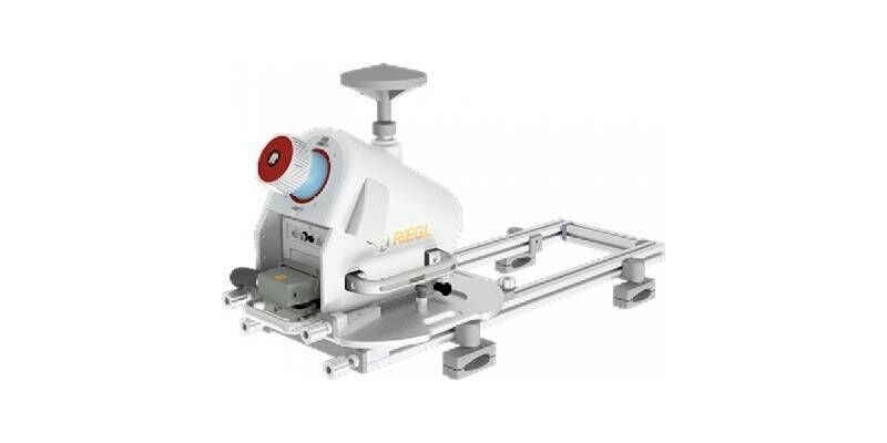
2nd October 2020
RIEGL RiCAST- “VMX: 10 Years of Success”: A Closer Look at Getting the Work Done with the VMQ-1HA
2nd October 2020
GeoCue Group Launches GeoCue Australia Pty
1st October 2020
Improve your UAV LiDAR survey accuracy with Routescene Ground Control Targets

30th September 2020
Intergeo 2020: We are Here! Wir Sind Dabei!
29th September 2020
Creaform announces new automated dimensional quality control solutions
25th September 2020
Bluesky LiDAR Maps Help Landscape Partnership Champion the Past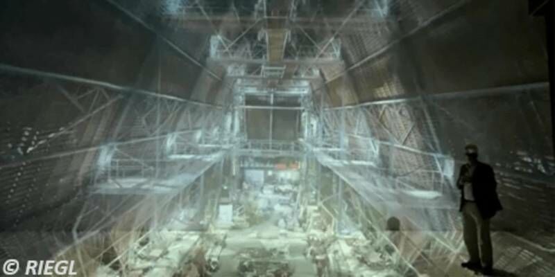
25th September 2020
3D Surveying Of The St. Stephen’s Cathedral Vienna
18th September 2020
RiCAST: Artificial Intelligence: A Geospatial Revolution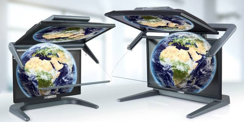
17th September 2020
3D PluraView - The Global Reference for Passive 3D-Stereo Monitors in all Geospatial Applications

17th September 2020
FARO Hires Two Industry Veterans To Lead Its Global Hardware And Software R&D Teams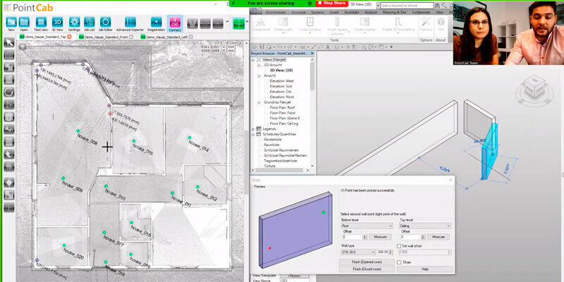
17th September 2020
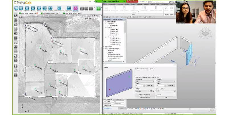
Seiler Design Solutions Announces Partnership with PointCab16th September 2020
Riegl’s Market Presence Grows In Latin America
13th September 2020
2020 Commercial UAV Expo Americas to Take Place Virtually This Week
4th September 2020
Rail Straightness Inspection after 3D Scan Demonstration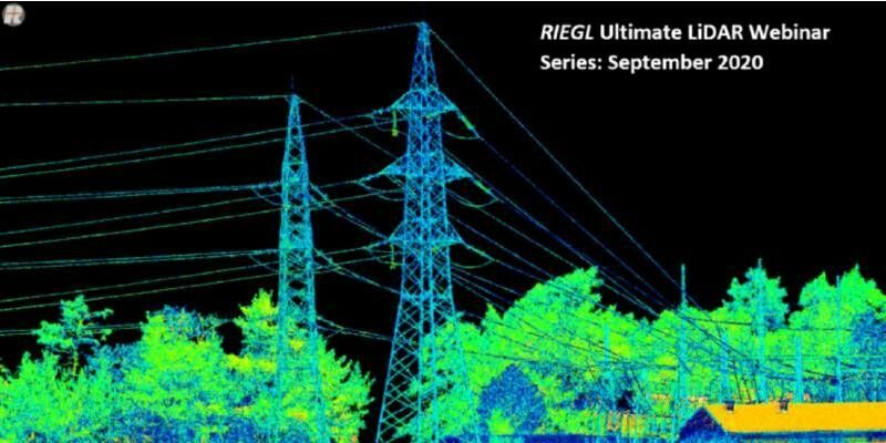
1st September 2020
RIEGL’s Ultimate LiDAR Webinar Series and More: September 2020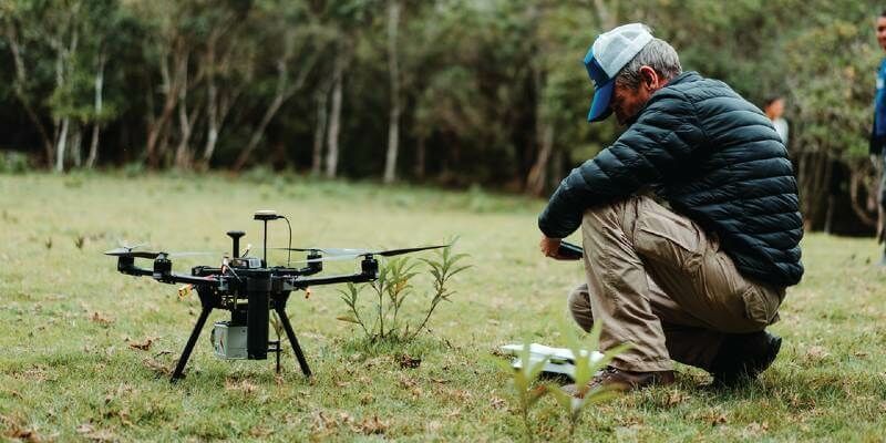
31st August 2020
UAV Partner Spotlight: Shining the Light into the OEM Partnership with LiDARUSA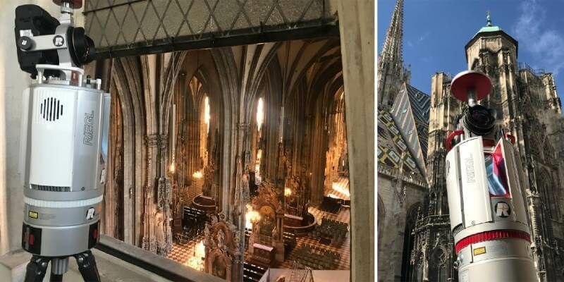
27th August 2020
Ars Electronica Festival 2020: Take a Virtual Interactive Tour of Vienna's St. Stephen's Cathedral with RIEGL 3D Data
26th August 2020
iXblue, Woolpert partner to deliver LiDAR mapping services to New Zealand Councils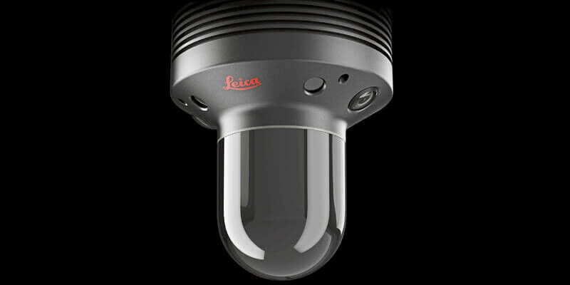
26th August 2020
Leica Geosystems BLK247 Wins Security Industry Association’s Best New Product Award26th August 2020
Riegl Usa Construction Update Website, Ultimatelidar.Com, Is Live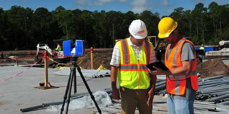
25th August 2020
ZEB Go Launches A New Era For Mobile SLAM
23rd August 2020
Features And Benefits Of Riegl’s Vq-1560 II Wide Area Mapping Sensor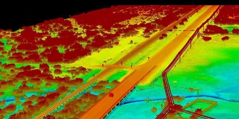
20th August 2020
RIEGL’s Market Presence Grows in Latin America Through Continex Distribution Partnership in Panama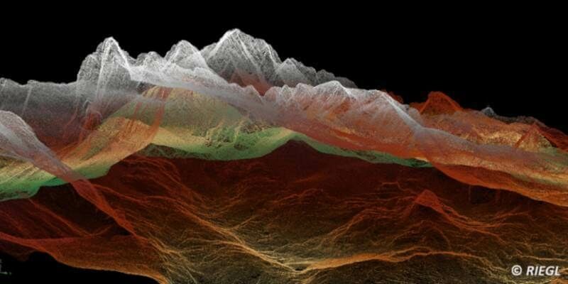
14th August 2020
Seiler Design Solutions Announces Partnership with PointCab
13th August 2020
Iceland Space Agency: Mirroring The Environment On The Moon And Mars
12th August 2020
Tan Talk: Riegl’s Long Lasting Line Of Terrestrial Laser Scanners
11th August 2020
Recordings Are Now Available For Riegl Ultimate Lidar July Webinar Series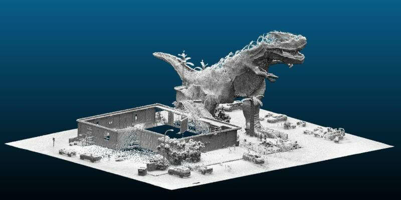
7th August 2020
The World's Largest Dinosaur - Immortalised in Digital 3D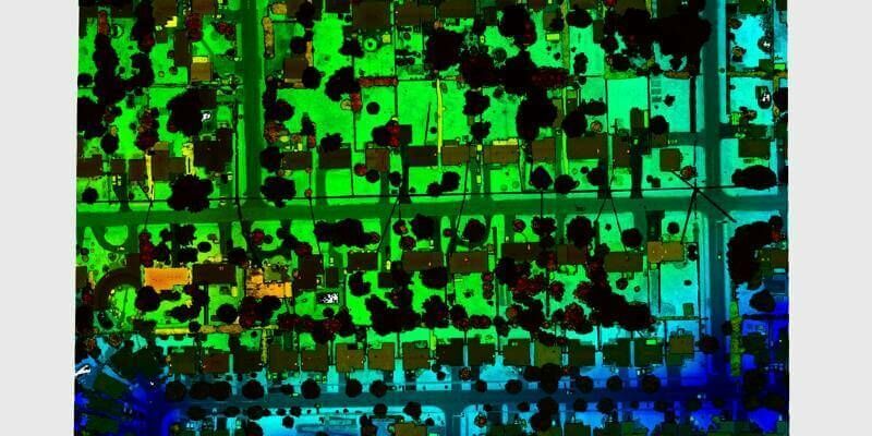
5th August 2020
Teledyne Optech introduces Galaxy CM2000 airborne lidar sensor
31st July 2020
AEC Next and SPAR 3D announce Call for Speakers for co-located 2021 event in Denver, CO
30th July 2020
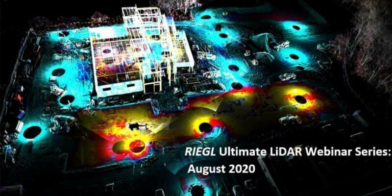
Riegl’s Ultimate Lidar Webinar Series And More: August 2020