
Aerial Imaging: High-Resolution Geospatial Data for Mapping, Analysis, and Decision-Making
Aerial imaging is revolutionizing the way we capture, analyze, and utilize geospatial data. Using high-resolution aerial photography and remote sensing technologies, it provides accurate and detailed visual information essential for mapping, environmental monitoring, infrastructure planning, and disaster response.
Modern aerial imaging solutions include manned aircraft, UAVs (drones), and satellite-based systems equipped with advanced sensors such as LiDAR, multispectral, and hyperspectral cameras. These technologies enable high-precision mapping, 3D terrain modeling, change detection, and real-time geospatial analysis, supporting industries such as urban planning, agriculture, forestry, defense, and construction.
With cloud-based processing, AI-powered image analysis, and real-time data streaming, aerial imaging continues to advance, offering faster, more accurate, and scalable solutions for GIS professionals and decision-makers.
GeoConnexion provides the latest insights on aerial imaging trends, innovations, and applications, helping professionals leverage aerial data for better spatial intelligence and operational efficiency.
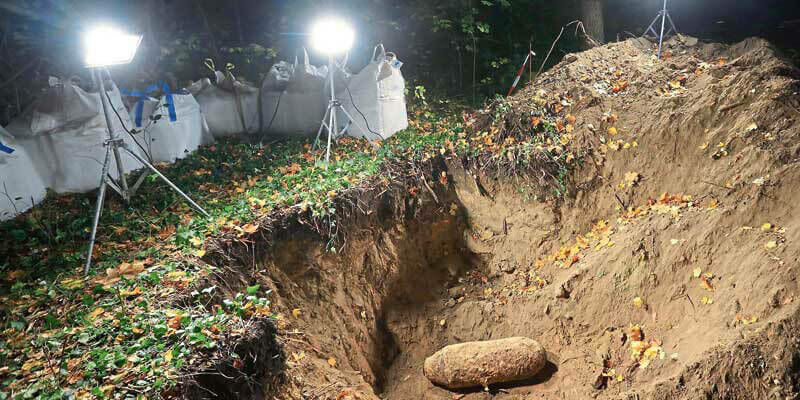
Bluesky Aerial Maps Light the Way for Contaminated Site Investigation and Clean Up
12th May 2021
Bluesky Aerial Maps Light the Way for Contaminated Site Investigation and Clean Up

Silicon Sensing introduces a new 9 DoF inertial measurement unit
29th April 2021
Silicon Sensing introduces a new 9 DoF inertial measurement unitPhase One Announces P3 Drone Payload for Asset Inspection
28th April 2021
Phase One Announces P3 Drone Payload for Asset InspectionHyperspectral Analytics in ENVI® - Whitepaper
15th April 2021
Hyperspectral Analytics in ENVI® - Whitepaper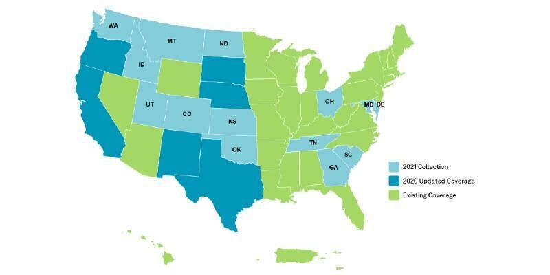
HxGN Content Program to collect new single-season aerial data of 14 U.S. states this year
15th April 2021
HxGN Content Program to collect new single-season aerial data of 14 U.S. states this year
Latest webinar: Phase One Advancing Aerial Surveying and Professional Photogrammetry Mapping
24th March 2021
Latest webinar: Phase One Advancing Aerial Surveying and Professional Photogrammetry MappingBluesky Addresses Urgent Need for 3D Mapping Data with Leica Sensor Investment
18th March 2021
Bluesky Addresses Urgent Need for 3D Mapping Data with Leica Sensor InvestmentNew Leica CityMapper-2L configuration enables digital twin creation of cities in complex weather and congested flight operation areas
11th March 2021
New Leica CityMapper-2L configuration enables digital twin creation of cities in complex weather and congested flight operation areas
Ayres Acquires True View 620 3D Imaging System
2nd March 2021
Ayres Acquires True View 620 3D Imaging SystemCGG Signs Multi-Client Airborne Gravity Gradient Survey Agreement with SNPC in Congo
2nd March 2021
CGG Signs Multi-Client Airborne Gravity Gradient Survey Agreement with SNPC in CongothinkWhere Wins Contract to Open Up Access to European Mapping
1st March 2021
thinkWhere Wins Contract to Open Up Access to European Mapping
Redefining affordable high-quality drone LiDAR/Imagery sensors
24th February 2021
Redefining affordable high-quality drone LiDAR/Imagery sensors
Bluesky 3D Building Models Drive Efficiency and Collaboration in Water Construction
12th February 2021
Bluesky 3D Building Models Drive Efficiency and Collaboration in Water ConstructionBluesky National Tree Map Reveals Carbon Capture Potential of Natural Woodlands
29th January 2021
Bluesky National Tree Map Reveals Carbon Capture Potential of Natural Woodlands
You are invited to attend Phase One webinar
27th January 2021
You are invited to attend Phase One webinarAI Startup EarthDefine Announces Expansion of its Building Footprint Geocoding and On-Demand Property Information
14th January 2021
AI Startup EarthDefine Announces Expansion of its Building Footprint Geocoding and On-Demand Property Information

ClearSkies Geomatics acquired the AERIALSURVEY.com
8th January 2021
ClearSkies Geomatics acquired the AERIALSURVEY.com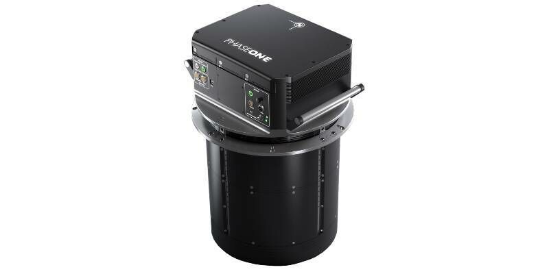
Phase One Unveils PAS 880 Large-Format Nadir & Oblique Aerial Camera System
16th December 2020
Phase One Unveils PAS 880 Large-Format Nadir & Oblique Aerial Camera System'How to Accurately Merge Imagery with LiDAR' Webinar
1st December 2020
'How to Accurately Merge Imagery with LiDAR' WebinarBluesky Launches Online Streaming Service for Panoramic Aerial Images
17th November 2020
Bluesky Launches Online Streaming Service for Panoramic Aerial Images
European Association of Aerial Surveying Industries Gather Virtually for First AGM
29th October 2020
European Association of Aerial Surveying Industries Gather Virtually for First AGMLeica Geosystems continues airborne hybrid road map with latest modular sensor offering
29th October 2020
Leica Geosystems continues airborne hybrid road map with latest modular sensor offeringEuropean Association of Aerial Surveying Industries Appoints Secretary-General
29th October 2020
European Association of Aerial Surveying Industries Appoints Secretary-GeneralUP42 Partners with Hexagon To Offer HxGN Content Program Aerial Imagery on Geospatial Marketplace
29th October 2020
UP42 Partners with Hexagon To Offer HxGN Content Program Aerial Imagery on Geospatial Marketplace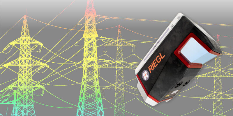
RIEGL VUX-120 UAV LiDAR Sensor for Corridor Mapping
29th October 2020
RIEGL VUX-120 UAV LiDAR Sensor for Corridor Mapping
UP42 Partners With Hexagon To Offer HxGN Content Program Aerial Imagery on Geospatial Marketplace
21st October 2020
UP42 Partners With Hexagon To Offer HxGN Content Program Aerial Imagery on Geospatial Marketplace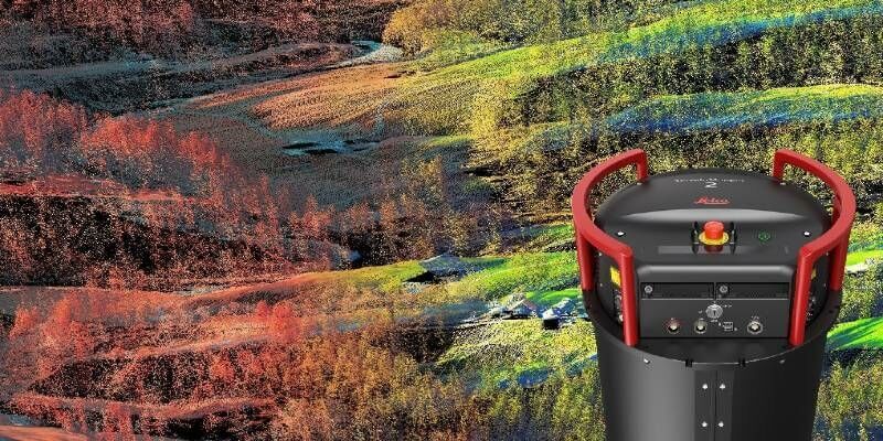
Leica Geosystems continues airborne hybrid road map with latest modular sensor offering
14th October 2020
Leica Geosystems continues airborne hybrid road map with latest modular sensor offering
Bluesky LiDAR Maps Help Landscape Partnership Champion the Past
25th September 2020
Bluesky LiDAR Maps Help Landscape Partnership Champion the Past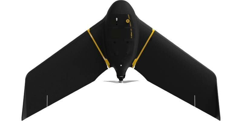
Scaling New Safety Heights with Fixed-Wing Drone Technology
22nd September 2020
Scaling New Safety Heights with Fixed-Wing Drone Technology
European Association of Aerial Surveying Industries Gather Virtually for First AGM
21st September 2020
European Association of Aerial Surveying Industries Gather Virtually for First AGM
Bluesky Expands Global Business with Travis Mayne and Emma Smith Appointments
17th September 2020
Bluesky Expands Global Business with Travis Mayne and Emma Smith Appointments
Save time and speed up image processing & analysis
9th September 2020
Save time and speed up image processing & analysisBluesky Laser Maps Quantock Hills to Reveal Archaeological Past
8th September 2020
Bluesky Laser Maps Quantock Hills to Reveal Archaeological Past
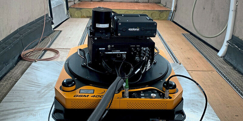
Applanix Introduces Next Generation OEM Solution for Direct Georeferencing of Airborne Sensor Data
4th September 2020
Applanix Introduces Next Generation OEM Solution for Direct Georeferencing of Airborne Sensor Data
How to Generate a 3D Model with Correlator3D
28th August 2020
How to Generate a 3D Model with Correlator3D
Atlantic Purchases First Phase One Industrial Large-Format Camera In The USA
26th August 2020
Atlantic Purchases First Phase One Industrial Large-Format Camera In The USA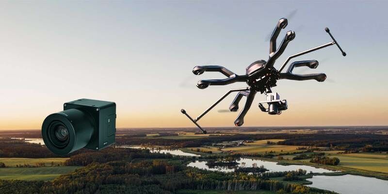
Phase One Industrial and Acecore Announce Integration of Camera and Drone Technologies
19th August 2020
Phase One Industrial and Acecore Announce Integration of Camera and Drone Technologies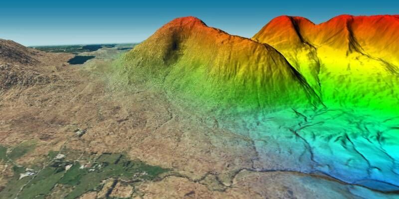
Bluesky 3D Photomaps Help Elevate an Irish Hill for the First Time in 20 Years
18th August 2020
Bluesky 3D Photomaps Help Elevate an Irish Hill for the First Time in 20 YearsBluesky Aerial Images Highlight Nature’s Role in Tackling Climate Change
12th August 2020
Bluesky Aerial Images Highlight Nature’s Role in Tackling Climate Change