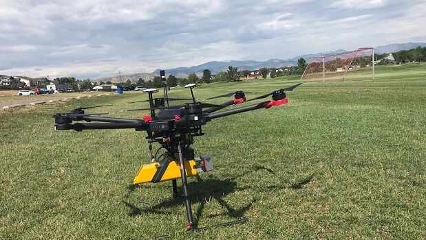
YellowScan signs a new distributor in the United States
6th August 2019
YellowScan signs a new distributor in the United StatesAerial imaging is revolutionizing the way we capture, analyze, and utilize geospatial data. Using high-resolution aerial photography and remote sensing technologies, it provides accurate and detailed visual information essential for mapping, environmental monitoring, infrastructure planning, and disaster response.
Modern aerial imaging solutions include manned aircraft, UAVs (drones), and satellite-based systems equipped with advanced sensors such as LiDAR, multispectral, and hyperspectral cameras. These technologies enable high-precision mapping, 3D terrain modeling, change detection, and real-time geospatial analysis, supporting industries such as urban planning, agriculture, forestry, defense, and construction.
With cloud-based processing, AI-powered image analysis, and real-time data streaming, aerial imaging continues to advance, offering faster, more accurate, and scalable solutions for GIS professionals and decision-makers.
GeoConnexion provides the latest insights on aerial imaging trends, innovations, and applications, helping professionals leverage aerial data for better spatial intelligence and operational efficiency.
6th August 2019
YellowScan signs a new distributor in the United States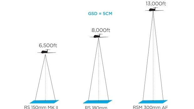
2nd August 2019
Get a Closer Look with Phase One's New Long-Range Lenses
2nd August 2019
19th International Scientific and Technical Conference from Racurs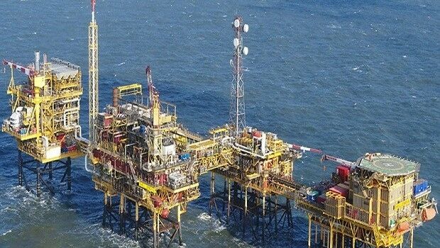
1st August 2019
Terra Drone Europe conducts oil rig platform survey and 3D modeling for Shell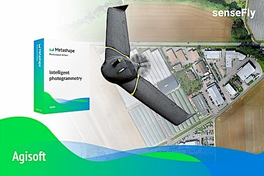
25th July 2019
Introducing the senseFly eBee X with Agisoft Metashape
23rd July 2019
Terra Drone Brazil complete Brazil’s first FPSO tank inspection23rd July 2019
Master Class 4: Vertical Mobility in Urban Environments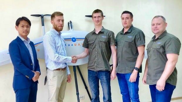
19th July 2019
Japan’s Terra Drone gains footing in Central Asia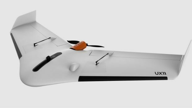
12th July 2019
high performance UX11 & UX11 Ag surveying and mapping drones

10th July 2019
Cesium launches with $5 million investment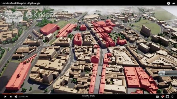
8th July 2019
Bluesky 3D Model Helps AECOM Create Blueprint for Yorkshire Town Redevelopment5th July 2019
Telangana seeks to become first ‘BVLOS Compliant’ state in India5th July 2019
Telangana seeks to become first ‘BVLOS Compliant’ state in India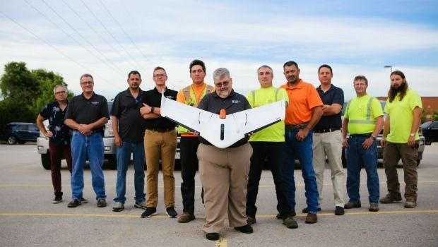
5th July 2019
Weaver Consulting adopts Delair UX11 UAV for large scale surveying, mapping
3rd July 2019
Terra Drone invests in Dutch robotics company RoNik
28th June 2019
PCI Geomatics Releases Geomatica 2018, Service Pack 2
27th June 2019
Geospatial solutions company Getmapping announces its new partnership with Hexagon’s Geospatial divi26th June 2019
Geospatially Optimized Digital Asset Management Solution
26th June 2019
drone analytics with Terra Mapper data processing software
20th June 2019
AECOM Uses Bluesky Tree Map to Assess Risks to Infrastructure
20th June 2019
Terra Drone Europe aids Djibouti in flood damage mitigation and port inspection
13th June 2019
Terra Drone Europe wins contract to provide UAV mapping services to Ordnance Survey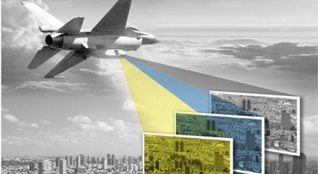
11th June 2019
AI accelerating local drones-for-social good solutions
11th June 2019
New Association to Promote Aerial Surveying in Europe Announced
10th June 2019
APEM appoints new Chairman to spearhead expansion of services
8th June 2019
NASA contribute to analysing London's heat and agriculture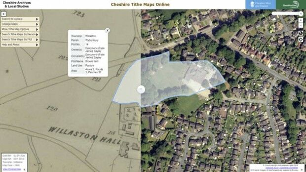
5th June 2019
Aerial Photographs Bring to Life Early Tax Maps of Cheshire4th June 2019
SimActive Releases Version 8.2 for Processing of Multispectral Imagery
28th May 2019
Parrot drones selected by U.S. Department of Defense
28th May 2019
Ecometrica Uses Drones to Map Vegetation in Scottish Forests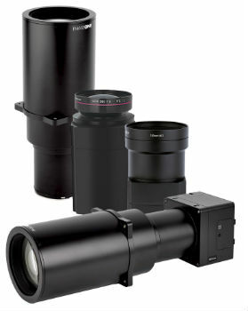
28th May 2019
Phase One Industrial Introduces Three High Performance Lenses24th May 2019
Extensis to Cameo Digital Asset Management Solution
23rd May 2019
Topcon announces advanced Bentley integration
23rd May 2019
Descartes Labs to Demonstrate Global-Scale Predictive Intelligence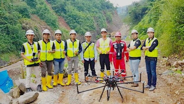
22nd May 2019
Terra Drone Indonesia shows construction companies benefits
20th May 2019
Bluesky and Getmapping Embrace XMAP for UK Government
17th May 2019
Western Distribution selects Fugro to unlock value from airborne survey data
16th May 2019
Routescene's improved approach to quantifying accuracy
16th May 2019
Terra Drone India and Vignan University set up drone lab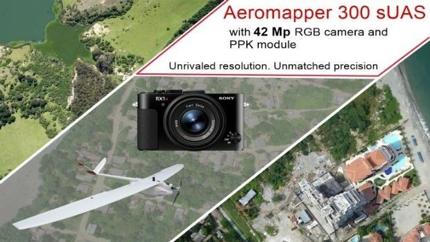
15th May 2019
AEROMAPPER 300 & 42Mp camera with PPK bundle