Share
A detailed 3D height model created by aerial mapping company Bluesky International has been used to reclassify an Irish peak from hill status to an actual mountain.
The upgrade came after Myrddyn Phillips, joint custodian of an authoritative list of Irish hills, contacted Bluesky when it was brought to his attention that Corcóg (Corcogemore), part of the Maumturk mountain range, was given a summit height of 611 metres on a newly published recreational map.
“I was originally contacted by an eagle eyed colleague from the Ireland Walking Guide website who had noticed the height discrepancy,” commented Myrddyn Phillips. “On further investigation with the map publishers we discovered the source data for the map originated from Bluesky’s national height dataset. Bluesky was kind enough to confirm not only the height value but also how it was derived giving us the confidence to reclassify Corcóg.
“This is the first Irish hill to change status based on its height since the original list was compiled and published more than 20 years ago,” he continued, “and we expect significant interest from intrepid hill walkers and hikers keen to explore Ireland’s newest mountain.”
The topographic ‘Connemara Mountains’ map was created and published by EastWest Mapping using detailed aerial photography and height data from Bluesky. Covering the Twelve Bens, Maumturk Mountains, Killary Harbour and region, at a scale of 1:25,000 the map clearly shows a summit height of 611 metres above sea level. When converted this equates to 2,005 feet nearly 150 centimetres above the mountain status threshold which stands at 2,000 feet (609.6 metres).
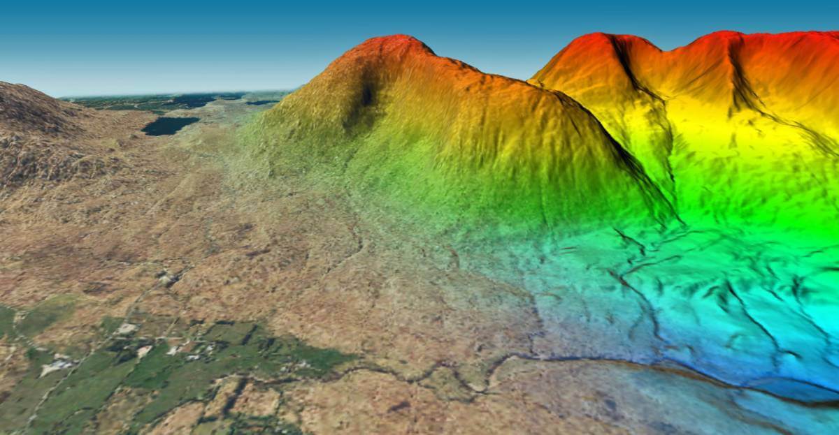
Bluesky recently completed the most detailed aerial survey of Ireland making it the only company to have acquired full aerial coverage of the Republic of Ireland, England, Scotland and Wales. The data, used by EastWest Mapping to create its map outputs, includes photogrammetrically derived 3D models of the earth’s bare surface (Digital Terrain Model / DTM) and surface features such as buildings and trees (Digital Surface Model / DSM). With accuracies of +/- 50cm and +/- 1m respectively these are the most up to date and accurate height measurement for the country.
Phillips, who also surveys hills and writes about his experiences on the website mappingmountains.blogspot.com, added, “I am keen to maintain my relationship with Bluesky as they are due to complete a LiDAR survey for the whole of Wales. Who knows what that might reveal?”
Subscribe to our newsletter
Stay updated on the latest technology, innovation product arrivals and exciting offers to your inbox.
Newsletter

