Share
Airborne electromagnetic survey data can give vision to the complex geology surrounding critical groundwater resources
Globally, the challenge of water security is a topic of growing concern, as changing climates and burgeoning populations accelerate demand for this crucial resource. Increasingly, hydrogeologists are looking for innovative ways to analyse geological data, manage risk and make better decisions around groundwater challenges.
AEM surveying uses electromagnetic induction to collect extensive volumes of data by aircraft. It is a faster and more cost-effective way of subsurface mapping, can cover large areas in a few days, requires no new drilling or ground access, and, using 3D modelling and visualisation software, has a quick turnaround for mapping subsurface aquifers.
The technique involves a helicopter or a small aeroplane towing a sensor loop approximately 35m above the ground and generating an electromagnetic signal, transmitted to the Earth to detect the magnetic field. Depending on resistivity or conductivity, the returned signal helps geoscientists establish the nature of the subsurface. A pre-planned flight path follows a lawnmowing pattern to cover an area of study as completely as possible.
For hydrogeologists, the real value of the large volume of AEM data collected is when it is interpolated through 3D modelling software. Seequent’s Leapfrog Works provides the capability for the interpolation of AEM data and its implementation into hydrogeological 3D modelling, to deliver a series of maps and subsurface models that infer where there are aquifer materials.
Converting AEM data into a 3D hydrogeological model not only maps the main extents and boundary of a groundwater resource, but also the many small deviations and interplay of different materials within an aquifer; details that would be difficult to achieve with drilling alone.
Underground and under pressure
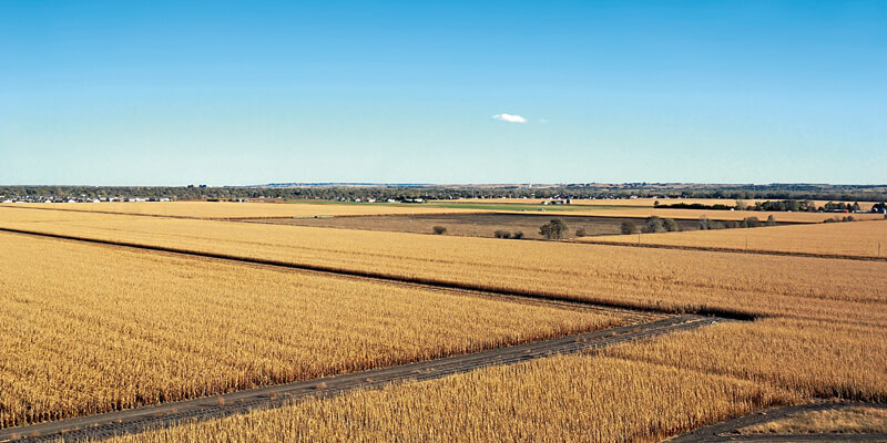
Seequent solutions hybridised with AEM survey data are helping to provide more of an understanding of the extreme challenges of one of the world’s largest aquifers, the Ogallala Aquifer, a vast freshwater resource beneath the Great Plains of North America.
Decades of large-scale extraction has far exceeded the natural recharge of this finite source of groundwater with climate change, semi-arid environmental conditions and layers of impermeable soil, all factors placing additional pressure on this critical resource.
Mike Plante, the lead hydrogeologist at US-based water resources company LRE Water, has been using Leapfrog Works and AEM survey data to develop a hydrogeological model of the Principal Aquifer (which includes portions of the Ogallala Aquifer) in the north-east corner of Nebraska. The AEM data was used to characterise the electrical properties of the earth materials spanning a subsurface study area of more than 10,300 square kilometres (9,200 AEM flight kilometres).
Preparing the AEM data involved compiling all resistivity data into a common format (Excel); mapping the data to identify and remove any redundancies; obtaining elevation models; and, from the review of approximately 18,000 well and test hole logs, establishing the bedrock surface of the study area.
The data volume included more than 230,000 AEM locations along the flight lines which resulted in approximately 7,300,000 resistivity data intervals. The data density was variable, ranging from 24m to 60m along the flight lines; 120m to 5km between the lines; with occasional gaps along the flight lines due to electrical interference, such as power lines or cities. Vertical data density also varied (1.5m near the ground surface to 43m at depth); though generally, the vertical resolution near the bedrock surface was around 12m.
Leapfrog Works proved to be an extremely powerful tool to process the large volume of AEM data collected. The first step was the development of a general geologic model, constrained by three surfaces (ground surface elevation, bedrock surface elevation, and an arbitrary bottom elevation that was set to 150m). A model resolution of a 400m was set, as this was the planned resolution of the future regional groundwater flow model.
An innovative hybridised approach
All AEM data was added to Leapfrog Works as boreholes with a unique borehole ID for each location and combined with resistivity data. A cross-section visual comparison of the Leapfrog environment was then compared with the profiles provided by the AEM consultant and showed the imports were successful. Many iterations of the numeric model were run to interpolate the resistivity data to develop a 3D model that adequately represented the conceptual model, particularly in the areas between flight lines.
Leapfrog Works enabled slices to be cut either along straight slices or along irregularly shaped section transects through the 3D visualisation. This enabled a direct comparison of the AEM resistivity model against the conceptual geologic cross-sections, developed using well and test hole geologic logs.
“The resulting comparison was good,” says Plante. “The AEM data picked up the bulk sand and gravel aquifer and identified areas of low resistivity representing clays and silts, though smaller lenses of clay and sand were lost due to the vertical resolution of the AEM data.”
The geologic model and the numeric model were combined in preparation for creating the groundwater flow model grid. Colourful volumes that represent the Principal Aquifer were divided into eight resistivity categories with higher resistivity values represented as yellow to red (sand and gravel) and lower resistivity values represented as blue to green (clay and silt); with brown representing bedrock.
The final step in the Leapfrog process was to export the combined model to a groundwater vistas model grid, consisting of five layers representing the Principal Aquifer and one layer representing bedrock. An added benefit of Leapfrog Works is the ability to share project data with clients using the free Leapfrog Viewer.
“Our client was excited to use the viewer to investigate the AEM data themselves,” says Plante. “By hybridising AEM technology with the innovative 3D hydrogeological modelling capabilities of Leapfrog Works, we are building a more detailed picture of the groundwater resources in this region.”
Coupled with the traditional geologic investigation and mapping techniques, using AEM data in this method provides an additional tool for groundwater resources management.


