Share
Aerial mapping company Bluesky International is using state of the art, aircraft mounted lasers to create a 3D model of the Quantock Hills in Somerset.
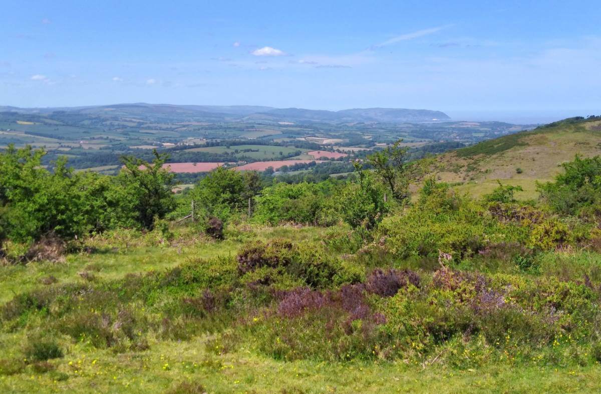
As England’s first Area of Outstanding Natural Beauty the Quantock Hills has a distinctive character with exceptional beauty and cultural heritage. Commissioned by the Quantock Landscape Partnership Scheme, the high precision terrain mapping project will improve the understanding how people have lived and worked in the area for thousands of years.
A 5 year £2.6 million programme the Quantock Landscape Partnership Scheme (QLPS) was created to conserve and celebrate the landscape of the area. Significantly funded by the National Lottery Heritage Fund it is led by the Quantock Hills Area of Outstanding Natural Beauty (AONB) which is in turn hosted by Somerset County Council.
“The Landscape Partnership Scheme was developed in response to the pressure and opportunities we face as one of the finest and oldest Area of Outstanding Natural Beauty, including the changing agricultural economy and recreational usage,” commented Bill Jenman, Landscape Partnership Scheme Manager. “The scheme also hopes to increase the understanding of the development of the Manorial landscape and how this underpins the character of the Quantocks.”
“As part of this work we have commissioned Bluesky to undertake a high resolution LiDAR survey,” he continued. “For large scale topographical survey work, such as archaeological investigations and desk-based archive studies, there is really no substitute for good LiDAR coverage and I am excited about what this data will reveal about the industrial heritage as well as potentially some missing pieces of the medieval and prehistoric picture.”
The QLPS commissioned Bluesky to capture nearly 200 square kilometres of ‘leaf off’ LiDAR data at a resolution of 16 points per metre (ppm). The data will be captured during the winter 20 /21 flying season using Bluesky’s newly upgraded LiDAR sensor. The original LiDAR data and any derived datasets, such as elevation models and hill-shade images, will be made available to all project partners including the South West Heritage Trust and Somerset County Council as well as the Environment Agency.
Subscribe to our newsletter
Stay updated on the latest technology, innovation product arrivals and exciting offers to your inbox.
Newsletter

