Analyzing Space Data for Mine Surface Displacement
26th January 2020
Analyzing Space Data for Mine Surface DisplacementAerial imaging is revolutionizing the way we capture, analyze, and utilize geospatial data. Using high-resolution aerial photography and remote sensing technologies, it provides accurate and detailed visual information essential for mapping, environmental monitoring, infrastructure planning, and disaster response.
Modern aerial imaging solutions include manned aircraft, UAVs (drones), and satellite-based systems equipped with advanced sensors such as LiDAR, multispectral, and hyperspectral cameras. These technologies enable high-precision mapping, 3D terrain modeling, change detection, and real-time geospatial analysis, supporting industries such as urban planning, agriculture, forestry, defense, and construction.
With cloud-based processing, AI-powered image analysis, and real-time data streaming, aerial imaging continues to advance, offering faster, more accurate, and scalable solutions for GIS professionals and decision-makers.
GeoConnexion provides the latest insights on aerial imaging trends, innovations, and applications, helping professionals leverage aerial data for better spatial intelligence and operational efficiency.
26th January 2020
Analyzing Space Data for Mine Surface Displacement
23rd January 2020
Vexcel Imaging to Acquire Geomni Imagery Division of Verisk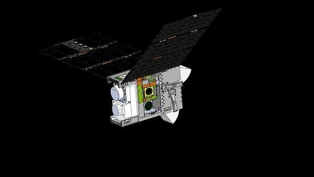
22nd January 2020
Dstl Develops New Space Weather Sensing Suite in 1 Year19th January 2020
10th IGRSM International Conference and Exhibition10th January 2020
New doctoral training centre for Earth Observation2nd January 2020
SSTL appoints Phil Brownnett as Managing Director22nd December 2019
Airborne Hyperspectral Survey and Mineral Mapping in South Greenland19th December 2019
Airbus-built CHEOPS satellite successfully launched on Soyuz17th December 2019
Inaugural European Aerial Survey Industry Association Event Attracts Worldwide Audience11th December 2019
Bluesky Adds to International Aerial Archive with 2019 Flying Success8th December 2019
DigEplan Integrates Electronic Plan Review to Cityworks Platform4th December 2019
MGISS Appoints Mike Cooper to Expand Geospatial Business
3rd December 2019
Getmapping partners with 3D Visualisation Technology Leaders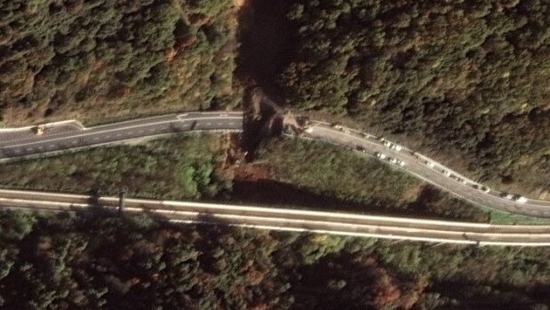
2nd December 2019
Satellite Images of Bridge Collapse on A6 Torino Highway28th November 2019
Bluesky Launches MetroVista 3D City Mapping Service in US25th November 2019
Bluesky National Tree Map Reveals Islington’s Tree Cover
21st November 2019
Pointfuse Launches Simple BIM Solution for Facilities Management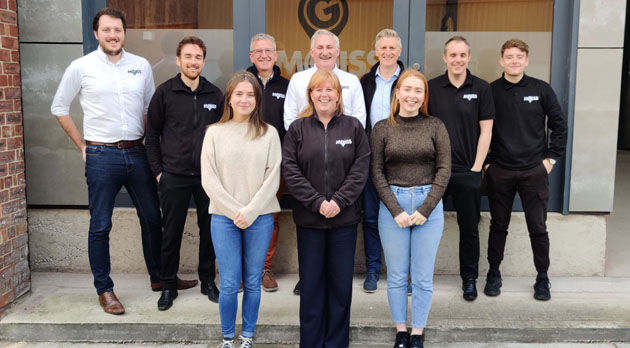
21st November 2019
MGISS Ranked Fourth in North West Tech 5020th November 2019
North Somerset Council Choose Yotta as Their Street Light Solution
19th November 2019
Assetino Cloud Based Cemetery Mapping & Management Tool Launched11th November 2019
Terrafirma adopts Bluesky Tree Map for Subsidence Hazard Assessment

30th October 2019
T-MAPY User Conference Attracts Record Numbers
28th October 2019
SimActive Software Used for Determining Financial Assistance
28th October 2019
Galbraith Adopts thinkWhere’s Web Mapping Tool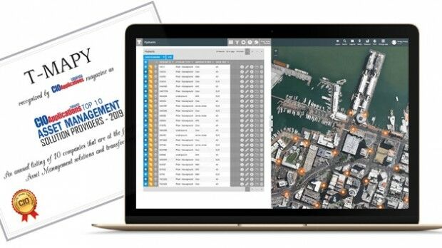
22nd October 2019
Assetino Asset Management Platform Scoops Top European Award15th October 2019
Bluesky Expands International Ops with New Production Centre
15th October 2019
thinkWhere Releases New groundMapper Web Mapping Tool
9th October 2019
thinkWhere Appointed Government Digital Specialist9th October 2019
Trimble to Acquire Cityworks to Expand Its Digital Asset and Infrastructure Management Solutions4th October 2019
Terra Drone launches UAV AI-based solution for power asset inspection3rd October 2019
European Space Imaging continues to deliver 100% success rate of European Commission’s CwRS Program1st October 2019
EUMETSAT prepares for launching next-gen satellites
27th September 2019
Streetwise Services Improve Traffic Surveys with thinkWhere’s Online Maps
26th September 2019
Bluesky Appoints Jamieson to Drive Innovation in Aerial Mapping Production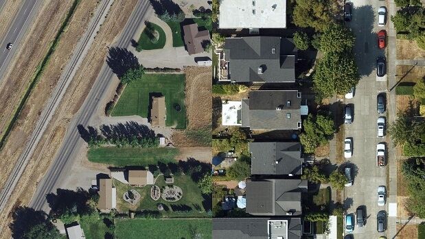
25th September 2019
HxGN Content Program now offers high-definition aerial data in the United States
25th September 2019
Bluesky Appoints Jamieson to Drive Innovation in Aerial Mapping
19th September 2019
New Zealand’s ASM turns to Yotta’s Alloy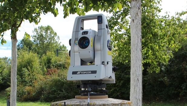
19th September 2019
Topcon introduces new technology advancements in inspection and monitoring
19th September 2019
New Zealand’s ASM Turns to Yotta’s Alloy for Highways Asset Management and Maintenance
18th September 2019
European Aerial Survey Industry Association Launches at Intergeo 2019
16th September 2019
Bluesky Launches International MetroVista City Mapping Service at Intergeo
13th September 2019
Vexcel Imaging Launches its Data Program in Europe11th September 2019
Airbus and Telespazio join forces to sell military telecom services on Syracuse IV satellites22nd August 2019
Pointfuse Laser Scanning Software Transforms Digital Construction Workflows22nd August 2019
Bluesky LiDAR Survey Helps Dublin Airport Reduce Risk of Flooding12th August 2019
CoreRFID becomes Comparesoft's latest referral partner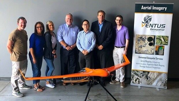
8th August 2019
Terra Done is partnering with US-based Ventus Geospatial