Teledyne Optech introduces Galaxy CM2000 airborne lidar sensor
5th August 2020
Teledyne Optech introduces Galaxy CM2000 airborne lidar sensorAerial imaging is revolutionizing the way we capture, analyze, and utilize geospatial data. Using high-resolution aerial photography and remote sensing technologies, it provides accurate and detailed visual information essential for mapping, environmental monitoring, infrastructure planning, and disaster response.
Modern aerial imaging solutions include manned aircraft, UAVs (drones), and satellite-based systems equipped with advanced sensors such as LiDAR, multispectral, and hyperspectral cameras. These technologies enable high-precision mapping, 3D terrain modeling, change detection, and real-time geospatial analysis, supporting industries such as urban planning, agriculture, forestry, defense, and construction.
With cloud-based processing, AI-powered image analysis, and real-time data streaming, aerial imaging continues to advance, offering faster, more accurate, and scalable solutions for GIS professionals and decision-makers.
GeoConnexion provides the latest insights on aerial imaging trends, innovations, and applications, helping professionals leverage aerial data for better spatial intelligence and operational efficiency.
5th August 2020
Teledyne Optech introduces Galaxy CM2000 airborne lidar sensor28th July 2020
Bluesky Expands Global Business with Travis Mayne Appointment27th July 2020
Gpi Geospatial Expands Airborne Lidar Acquisition Services Through Addition Of Riegl Vq-1560 Ii Ultra High-Performance System24th July 2020
GeoCue’s True View Awarded ILMF “Outstanding Innovation in LIDAR”17th July 2020
Bluesky Thermal Mapping Technology Helps Target Government Green Home Grants10th July 2020
Bluesky Maps the Peak District National Park in Ultra-High Resolution from the Air
3rd July 2020
Bluesky Upgrades its Great Britain Flying Programme to Highest Ever Resolution2nd July 2020
Bluesky Takes to the Clear Skies in a Flying Start to 2020 Aerial Surveying25th June 2020
Bluesky Completes Aerial Photography Coverage of Ireland
24th June 2020
HxGN Content Program updates 3 million square kilometres of aerial data in U.S., Europe in 2020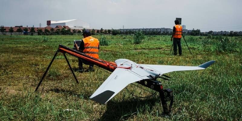
19th June 2020
Terra Drone Corporation solidifies South East Asia presence with establishment of new base in Malaysia
17th June 2020
Cityscape and Bluesky 3D Models Bring Virtual Reality to Property Developers
10th June 2020
Bluesky Takes to the Clear Skies in a Flying Start to 2020 Aerial Surveying4th June 2020
CHNT 25, 2020 - Artificial Intelligence, New pathways towards cultural heritage3rd June 2020
Teledyne Lumenera’s new Lt Series USB3 Cameras engineered for modern vision systems1st June 2020
Diamond Aircraft Appoints New Service Center in Texas

22nd May 2020
European Aerial Mappers Challenge Data Streaming Competitors22nd May 2020
Bluesky Supports Remote Workers with Latest Aerial Photography Online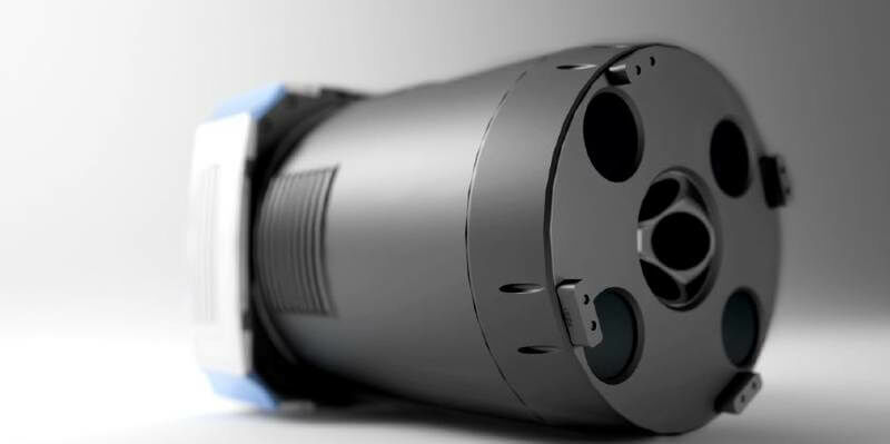
21st May 2020
Broaden your perspective with the new UltraCam Osprey 4.118th May 2020
Teledyne Optech partners with Aerial Surveys International to provide hyper-realistic mapping solution12th May 2020
Parrot supports Human Rights Watch by providing Drones and Software

5th May 2020
Introducing the Phase One 280MP Aerial Solution
24th April 2020
RIEGL’s Combining Terrestrial and UAV-borne Scan Data in an Archeology Application24th April 2020
Bluesky University of Leicester SPRINT Project Brings AI to Insurance Sector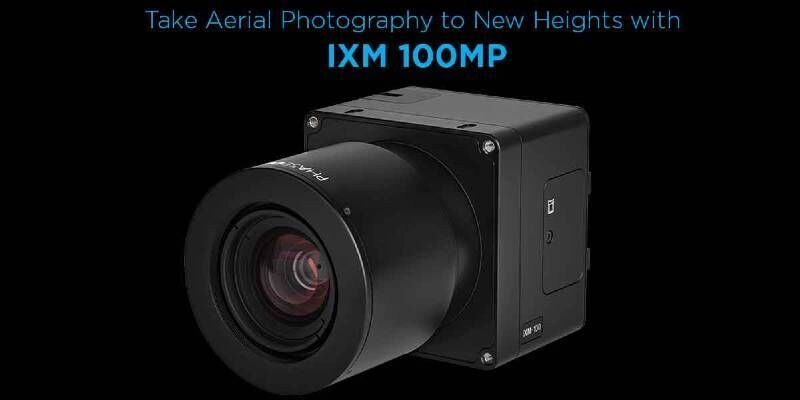

6th April 2020
Warwickshire County Council Turns to Yotta for Highways Management
31st March 2020
State Governments Using Vexcel Imagery to Aid in COVID-19 Response27th March 2020
Yotta and Telensa Partner to Form Seamless Smart Streetlight Platform27th March 2020
10th IGRSM International Conference and Exhibition on Geospatial & Remote Sensing (IGRSM 2020)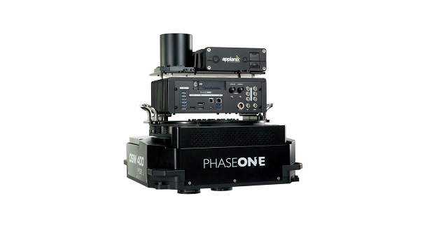
24th March 2020
Phase One Industrial Launches 280MP Aerial Solution13th March 2020
Postponement of the 10th IGRSM International Conference and Exhibition10th March 2020
Terra Drone Indonesia detects underground utilities5th March 2020
MGISS Helps Essex & Suffolk Water Pioneer 3D Asset Data20th February 2020
10th IGRSM International Conference and Exhibition13th February 2020
Forestry Commission Uses Aerial Photography to Create Forest & Woodland Maps
5th February 2020
Aerial Photography Helps to Transform Policing in North Yorkshire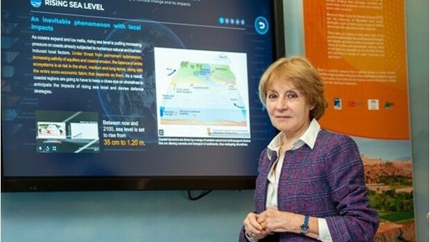
30th January 2020
Pioneer in charting modern sea level rise to receive 2020 Vetlesen Prize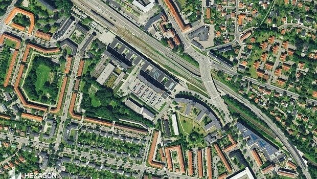
30th January 2020
Hexagon Acquires of COWI's Mapping Business29th January 2020
MAPPS Presents the 2019 Geospatial Excellence Awards