Share
Target Detection and Spectral Mapping Methods
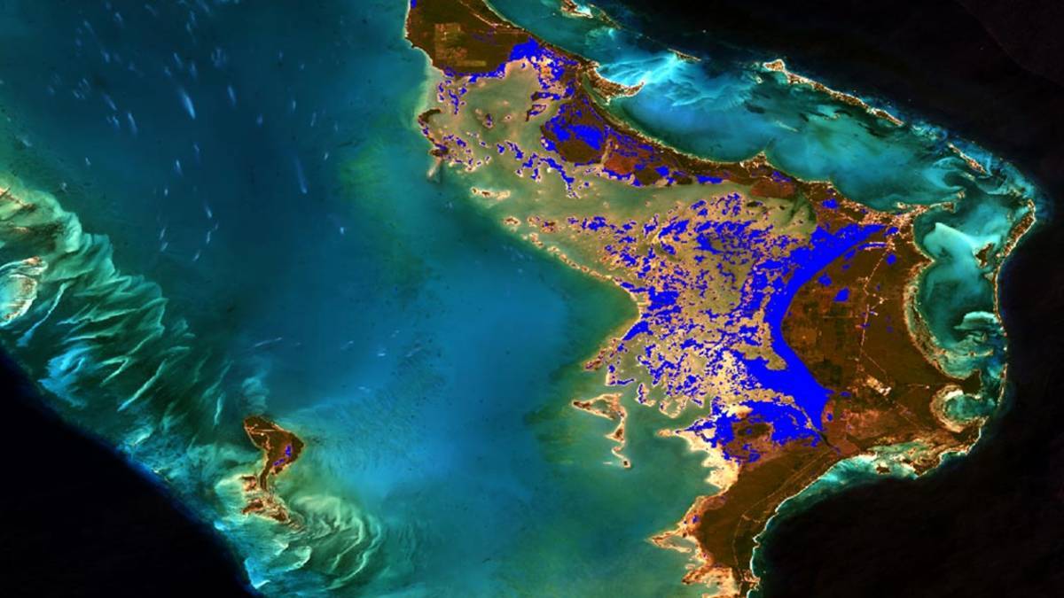
Hyperspectral imaging provides information from across the electromagnetic spectrum and is a powerful way to find objects, identify materials, and much more. Professionals in industries such as defense/intelligence, precision agriculture, and earth science have come to rely on hyperspectral imaging.
ENVI is the software application of choice for processing and analyzing hyperspectral data.
Download this white paper for answers to questions such as, “How do I get started working with hyperspectral imagery?” and “What tools do I need?” Learn about the two most common scenarios for working with hyperspectral data:
- Locating specific targets of interest
- Determining what spectrally unique materials exist in a scene.
Other caveats and tips are provided for working with hyperspectral data in ENVI.
Subscribe to our newsletter
Stay updated on the latest technology, innovation product arrivals and exciting offers to your inbox.
Newsletter

