Share
Thu, February 4, 2021 8 am - 9 am MDT (16:00 - 17:00 CET)
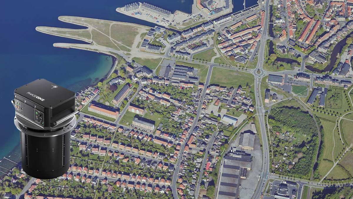
Large format oblique mapping at 880 MP from the imaging experts
Join this webinar to learn all about the newly released PAS 880, a fully integrated, accurate and affordable nadir and oblique camera system for 2D and 3D aerial mapping.
Best ROI for 2D and 3D imaging missions
- Over 20.000 pixels across flight lines for nadir camera; and 14.000 pixels across per oblique camera
- Unbeatable performance of 2 frames/sec. - Fastest in the industry
- Metrically calibrated for photogrammetry
- Lightweight and compact
- The ideal solution for 3D city mapping, corridor mapping and environment mapping.
Subscribe to our newsletter
Stay updated on the latest technology, innovation product arrivals and exciting offers to your inbox.
Newsletter

