Share
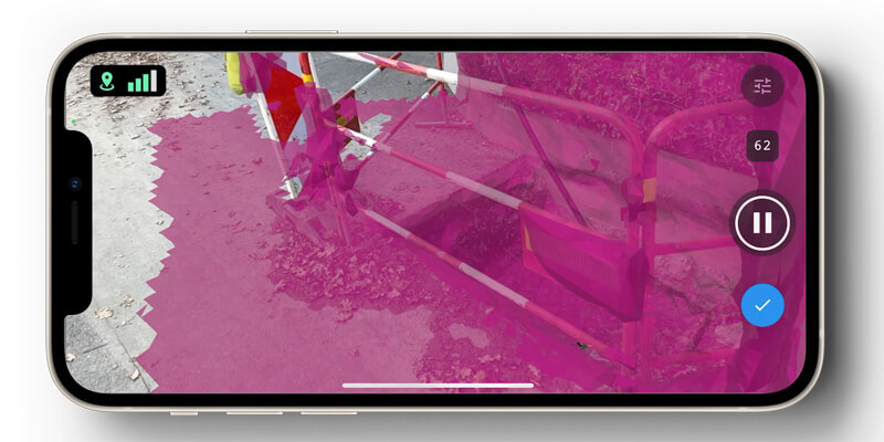
Pix4Dcatch empowers users to easily create ground-based 3D models using an iOS mobile device. No need to be an expert, the user simply scans the area of interest with Pix4Dcatch. The app records pictures along with GPS positions. Compatible with recent iOS devices, but optimized for the newest iPad Pro and iPhone 12 Pro and Pro Max with LiDAR sensors, scanning is done with real-time 3D meshing for scene completion feedback. This process of giving live feedback enables a workflow that secures optimal results. Images are then automatically uploaded to Pix4Dcloud for a fast generation of scaled and georeferenced 3D models and points clouds that can be measured, shared and exported. www.pix4d.com


