Share
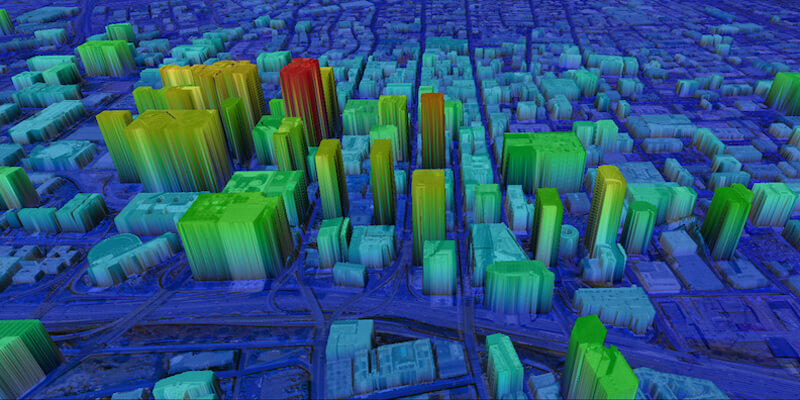
UP42 announced that the NEXTMap Elevation Data Suite from Intermap Technologies is now offered on the UP42 developer platform for Earth observation data and analytics. The NEXTMap 3D elevation products are available as Digital Surface Models (DSM) and Digital Terrain Models (DTM) at one-, five-, and 10-meter resolution. The addition of NEXTMap datasets to the UP42 marketplace enables users to build even more powerful geospatial solutions in the areas of infrastructure management, construction planning, geologic mapping, land cover classification, forestry, resource conservation, and contour generation. UP42 gives users direct access to extensive Earth observation datasets and advanced processing algorithms – along with cloud computing power – to create their own geospatial solutions easily and inexpensively. Users purchase just the data needed to cover their area of interest and then leverage scalable processing capabilities to analyse the datasets without investment in their own computing infrastructure. www.up42.com


