Share
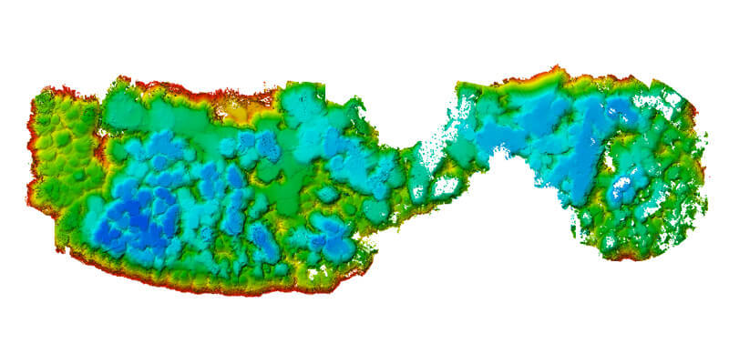
Morgan & Eklund (M&E), a hydrographic survey company specializing in nearshore and specialized surveys for ports, harbours, and infrastructure, announced the successful deployment of its new Autonomous Survey Vessel (ASV) service to obtain high resolution multibeam bathymetric data to map and monitor sand and aggregate mining pits. M&E completed construction surveys to verify the submerged pit floor conditions and direct excavation efforts for future production. The survey is the first of its kind to use the SR-Surveyor M1.8 to map dredging pits in Florida. In addition to mapping the dredge pits, the SR-Surveyor M1.8 used its light detection and ranging (LiDAR) sensor to gather point cloud data to image the pit embankments and dredged stockpile to compare the volume of sand removed from the pit to volume available to haul to a beach. www.morganeklund.com


